Sloan is a village in Erie County, New York, United States. The population was 3,661 at the 2010 census. It is part of the Buffalo–Niagara Falls Metropolitan Statistical Area and is in the town of Cheektowaga.
| Name: | Sloan village |
|---|---|
| LSAD Code: | 47 |
| LSAD Description: | village (suffix) |
| State: | New York |
| County: | Erie County |
| Elevation: | 614 ft (187 m) |
| Total Area: | 0.79 sq mi (2.04 km²) |
| Land Area: | 0.78 sq mi (2.02 km²) |
| Water Area: | 0.01 sq mi (0.02 km²) |
| Total Population: | 3,775 |
| Population Density: | 4,839.74/sq mi (1,868.69/km²) |
| ZIP code: | 14212 |
| Area code: | 716 |
| FIPS code: | 3667686 |
| GNISfeature ID: | 0965429 |
| Website: | ns.villageofsloan.org |
Online Interactive Map
Click on ![]() to view map in "full screen" mode.
to view map in "full screen" mode.
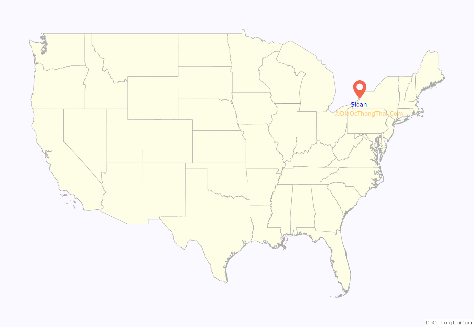
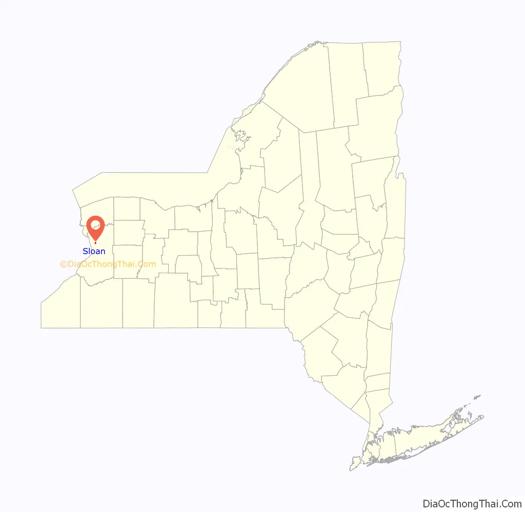
Sloan location map. Where is Sloan village?
History
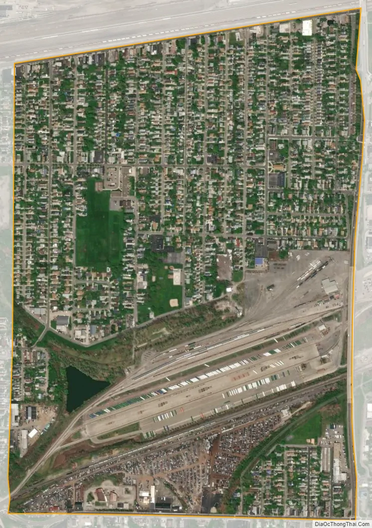
The village was incorporated in 1896 from part of Cheektowaga. With the CSX Frontier yard to the village’s north and the Norfolk Southern Bison yard to the village’s south, it was a historically important railroad town like nearby Depew. (These yards were originally the New York Central and Erie-Lackawanna, respectively.)
For much of its history the village had a police force ranging from three to six officers. The force was abolished circa 1978, and the four patrolmen and one captain were absorbed by the Cheektowaga Police Department, which to this day provides police services to the village.
Visniak brand soft drinks were made in Sloan.
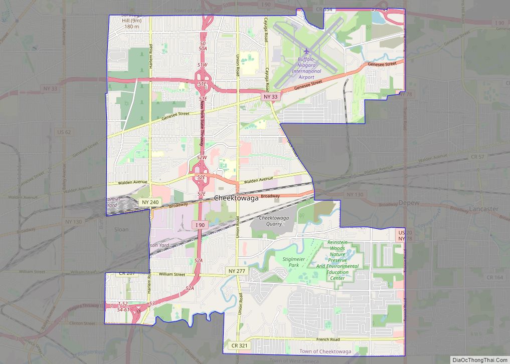
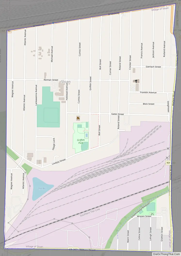
Sloan Road Map
Sloan city Satellite Map
Geography
Sam Sloan owned the land which extended to the New York State Thruway when it was founded, but it is only 1-square-mile (2.6 km) today. Sloan is located at 42°53′40″N 78°47′29″W / 42.89444°N 78.79139°W / 42.89444; -78.79139 (42.894458, -78.791353).
According to the United States Census Bureau, the village has a total area of 0.8 square miles (2.1 km), all land.
The village is bounded on the north by New York State Route 130 (Broadway) and on the east by New York State Route 240 (Harlem Road).
See also
Map of New York State and its subdivision:- Albany
- Allegany
- Bronx
- Broome
- Cattaraugus
- Cayuga
- Chautauqua
- Chemung
- Chenango
- Clinton
- Columbia
- Cortland
- Delaware
- Dutchess
- Erie
- Essex
- Franklin
- Fulton
- Genesee
- Greene
- Hamilton
- Herkimer
- Jefferson
- Kings
- Lake Ontario
- Lewis
- Livingston
- Madison
- Monroe
- Montgomery
- Nassau
- New York
- Niagara
- Oneida
- Onondaga
- Ontario
- Orange
- Orleans
- Oswego
- Otsego
- Putnam
- Queens
- Rensselaer
- Richmond
- Rockland
- Saint Lawrence
- Saratoga
- Schenectady
- Schoharie
- Schuyler
- Seneca
- Steuben
- Suffolk
- Sullivan
- Tioga
- Tompkins
- Ulster
- Warren
- Washington
- Wayne
- Westchester
- Wyoming
- Yates
- Alabama
- Alaska
- Arizona
- Arkansas
- California
- Colorado
- Connecticut
- Delaware
- District of Columbia
- Florida
- Georgia
- Hawaii
- Idaho
- Illinois
- Indiana
- Iowa
- Kansas
- Kentucky
- Louisiana
- Maine
- Maryland
- Massachusetts
- Michigan
- Minnesota
- Mississippi
- Missouri
- Montana
- Nebraska
- Nevada
- New Hampshire
- New Jersey
- New Mexico
- New York
- North Carolina
- North Dakota
- Ohio
- Oklahoma
- Oregon
- Pennsylvania
- Rhode Island
- South Carolina
- South Dakota
- Tennessee
- Texas
- Utah
- Vermont
- Virginia
- Washington
- West Virginia
- Wisconsin
- Wyoming