Smallwood is a hamlet (and census-designated place) in Sullivan County, New York, United States. The population was 839 at the 2020 census.
Smallwood is in the southeastern section of the Town of Bethel and is a hamlet within the town of Bethel. It was founded in the 1920s as the vacation community “Mountain Lakes”, but was later renamed after its founder A.N. Smallwood.
| Name: | Smallwood CDP |
|---|---|
| LSAD Code: | 57 |
| LSAD Description: | CDP (suffix) |
| State: | New York |
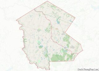
| County: | Sullivan County |
| Elevation: | 1,201 ft (366 m) |
| Total Area: | 2.53 sq mi (6.55 km²) |
| Land Area: | 2.40 sq mi (6.22 km²) |
| Water Area: | 0.13 sq mi (0.32 km²) |
| Total Population: | 839 |
| Population Density: | 349.15/sq mi (134.83/km²) |
| ZIP code: | 12778 |
| Area code: | 845 |
| FIPS code: | 3667730 |
| GNISfeature ID: | 0965447 |
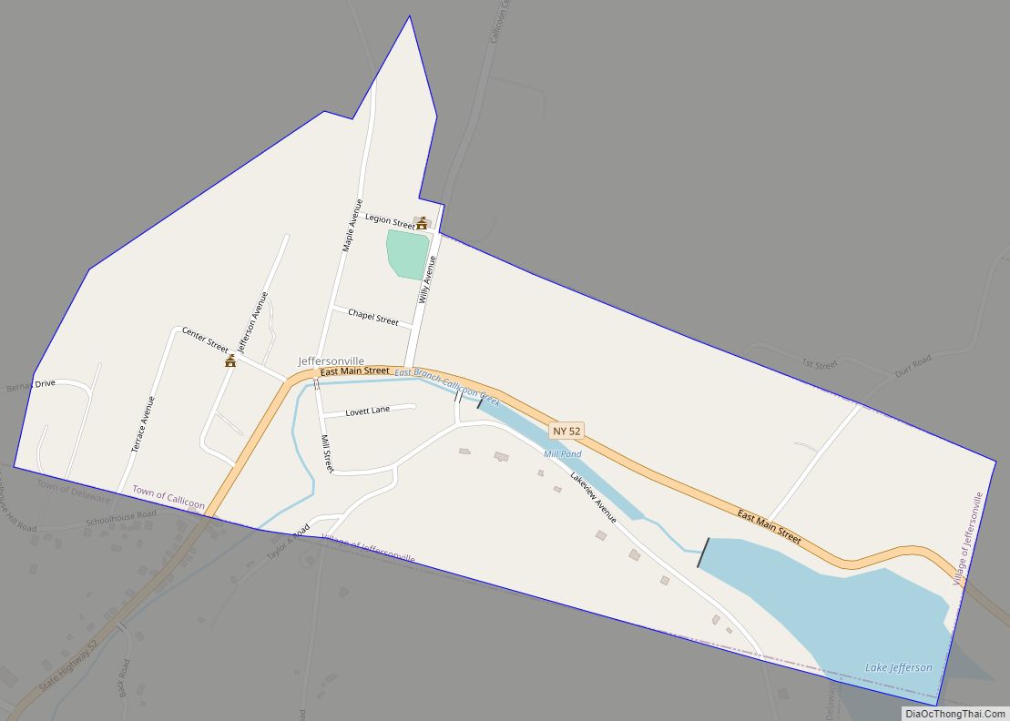
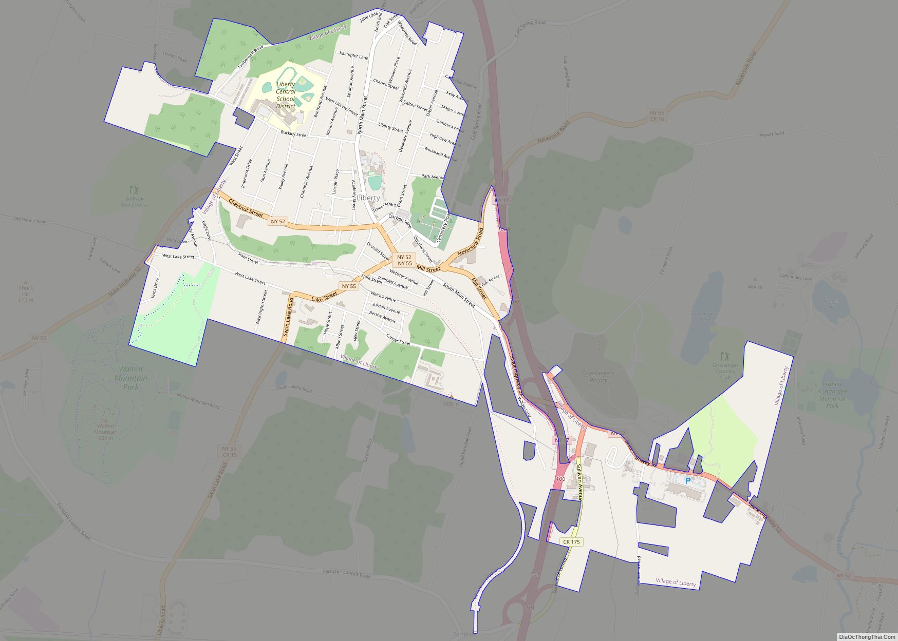
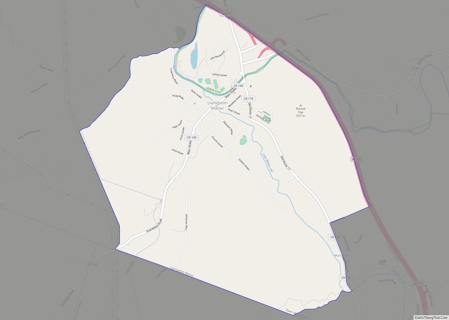
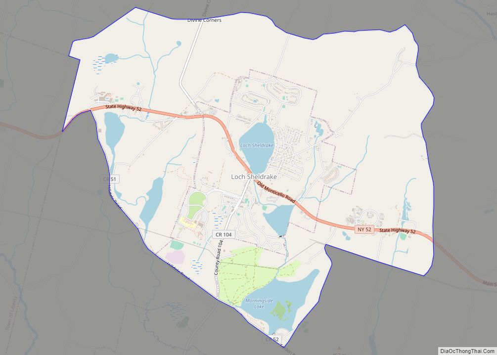
Online Interactive Map
Click on ![]() to view map in "full screen" mode.
to view map in "full screen" mode.
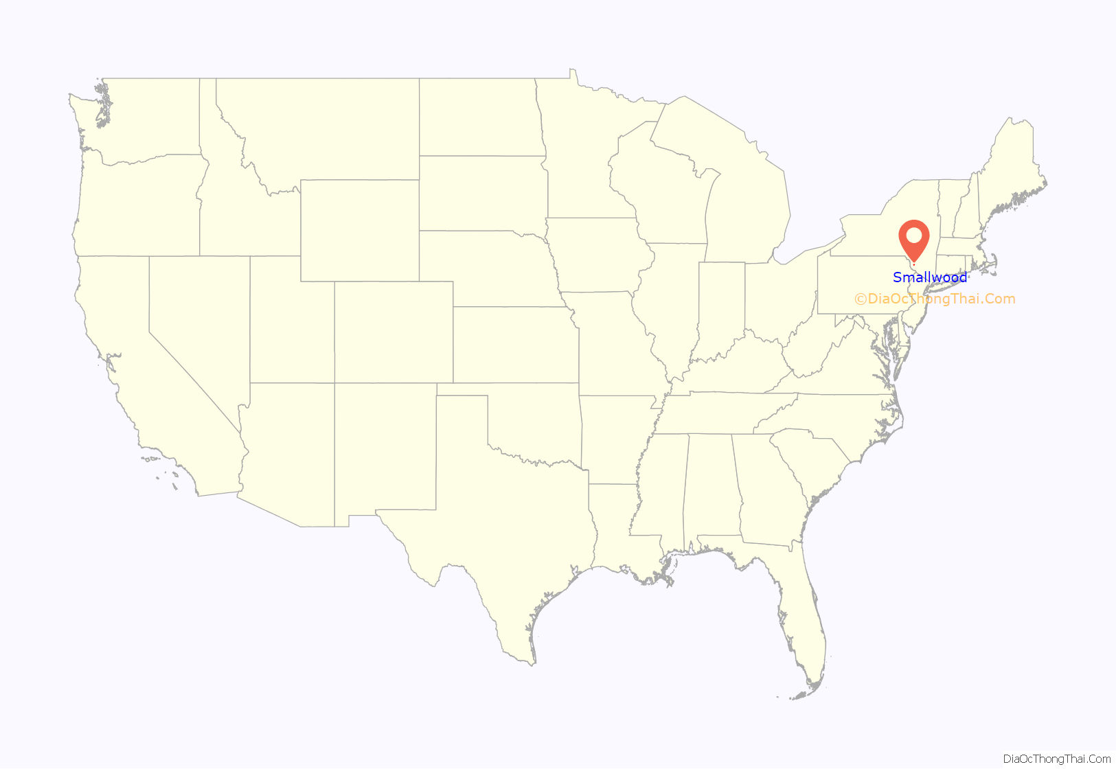
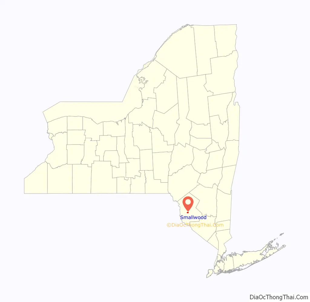
Smallwood location map. Where is Smallwood CDP?
History
Smallwood is known for its early-20th century style log cabins and camps constructed by immigrants in the 1930s. A unique feature of the community is that the original home construction materials were locally sourced: Smallwood cabins were constructed of wood lumbered and milled on site, and the distinctive stone fireplaces found in most cabins were built of limestone quarried in Smallwood in the 1920s to 1950s. Most of these historic cabin structures survive as both summer and year-round residences.
The Smallwood development, as envisioned by developer A.N. Smallwood, was originally a “restricted” community, i.e., homes were available only to individuals who were eligible for membership in the Mountain Lakes Country Club, which was restricted to “caucasians of the Christian faith”, according to literature and sales brochures. This began to change in the 1940s, but many deeds contained restrictive covenants into the 1950s. In the past few decades, the community has become very diverse, comprising local year-round residents as well as summer-home owners who hail primarily from the New York metropolitan area and south Florida.
Running water for many Smallwood homes is only available on a seasonal basis from April to October. Other homes which have been winterized have wells.
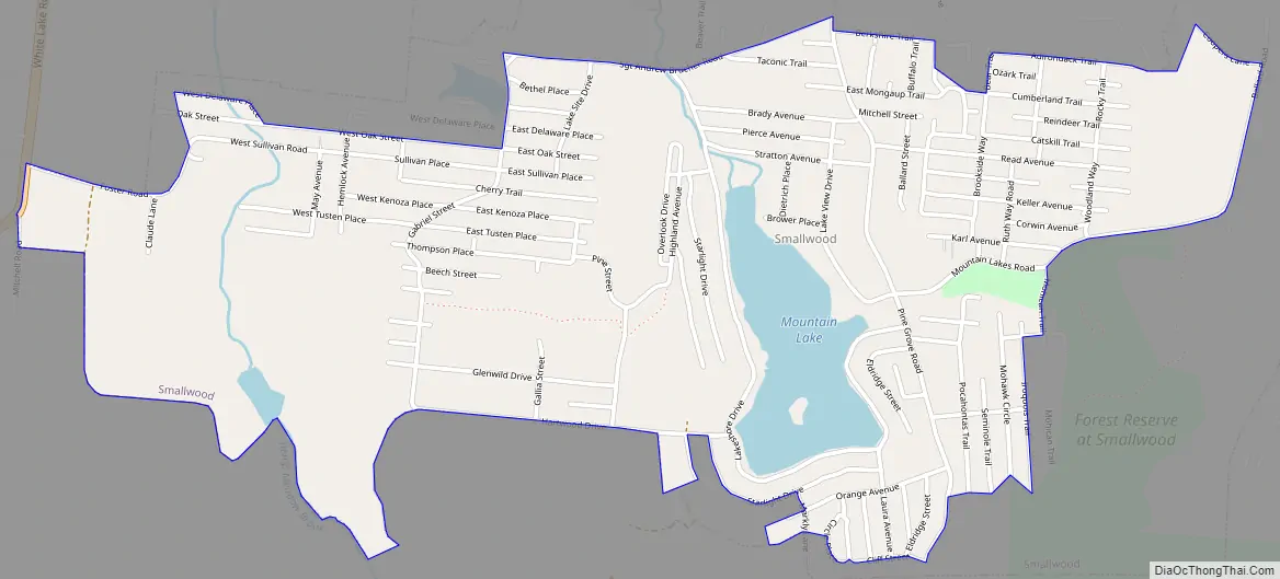
Smallwood Road Map
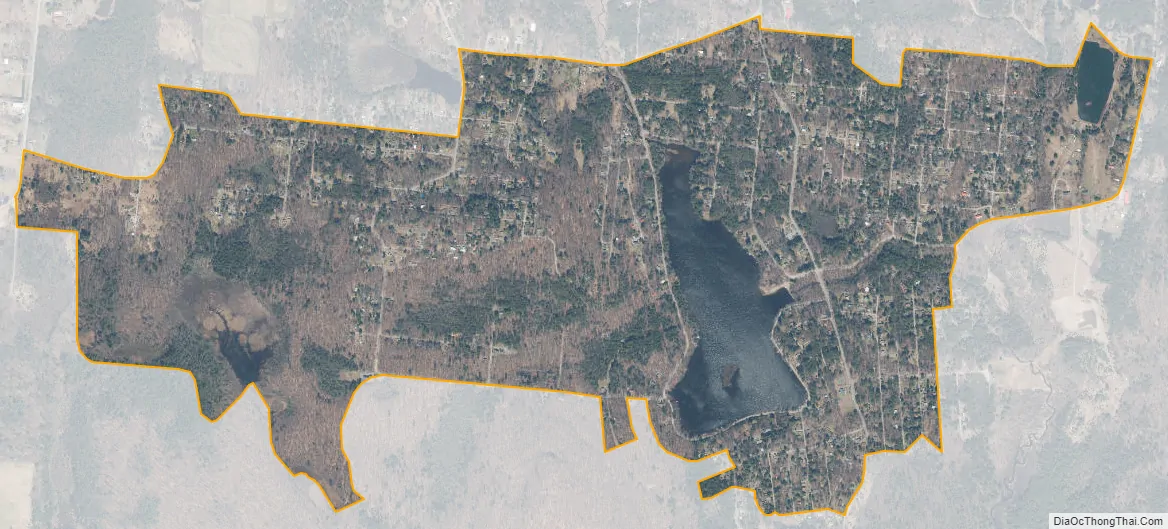
Smallwood city Satellite Map
Geography
Smallwood is located at 41°39′38″N 74°48′52″W / 41.66056°N 74.81444°W / 41.66056; -74.81444 (41.660573, -74.814507).
According to the United States Census Bureau, the CDP has a total area of 1.6 square miles (4.1 km), of which 1.5 square miles (3.9 km) is land and 0.1 square miles (0.26 km) (6.06%) is water.
See also
Map of New York State and its subdivision:- Albany
- Allegany
- Bronx
- Broome
- Cattaraugus
- Cayuga
- Chautauqua
- Chemung
- Chenango
- Clinton
- Columbia
- Cortland
- Delaware
- Dutchess
- Erie
- Essex
- Franklin
- Fulton
- Genesee
- Greene
- Hamilton
- Herkimer
- Jefferson
- Kings
- Lake Ontario
- Lewis
- Livingston
- Madison
- Monroe
- Montgomery
- Nassau
- New York
- Niagara
- Oneida
- Onondaga
- Ontario
- Orange
- Orleans
- Oswego
- Otsego
- Putnam
- Queens
- Rensselaer
- Richmond
- Rockland
- Saint Lawrence
- Saratoga
- Schenectady
- Schoharie
- Schuyler
- Seneca
- Steuben
- Suffolk
- Sullivan
- Tioga
- Tompkins
- Ulster
- Warren
- Washington
- Wayne
- Westchester
- Wyoming
- Yates
- Alabama
- Alaska
- Arizona
- Arkansas
- California
- Colorado
- Connecticut
- Delaware
- District of Columbia
- Florida
- Georgia
- Hawaii
- Idaho
- Illinois
- Indiana
- Iowa
- Kansas
- Kentucky
- Louisiana
- Maine
- Maryland
- Massachusetts
- Michigan
- Minnesota
- Mississippi
- Missouri
- Montana
- Nebraska
- Nevada
- New Hampshire
- New Jersey
- New Mexico
- New York
- North Carolina
- North Dakota
- Ohio
- Oklahoma
- Oregon
- Pennsylvania
- Rhode Island
- South Carolina
- South Dakota
- Tennessee
- Texas
- Utah
- Vermont
- Virginia
- Washington
- West Virginia
- Wisconsin
- Wyoming