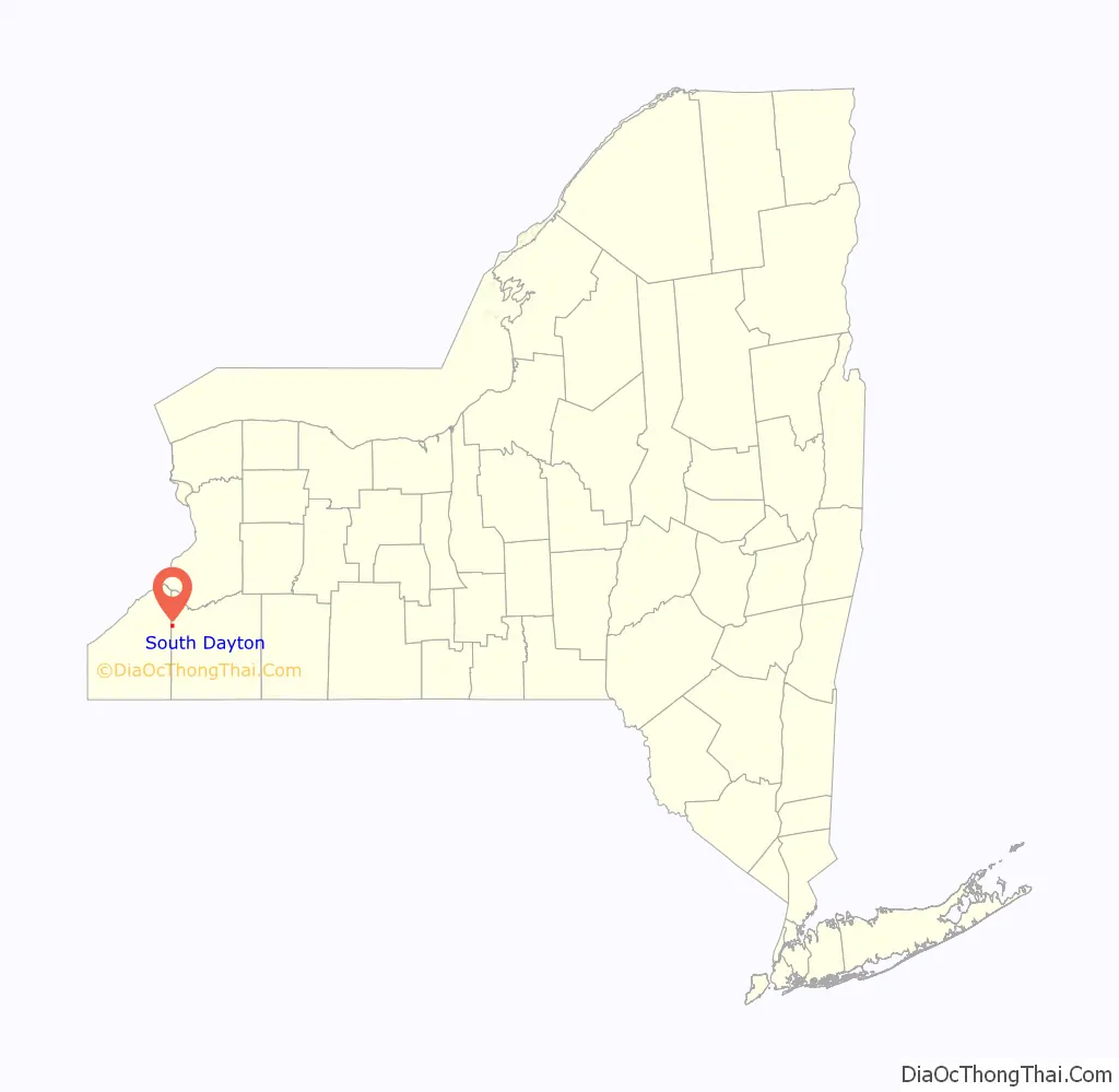
South Dayton is a village in Cattaraugus County, New York, United States. The population was 564 at the 2020 census. The village lies within the town of Dayton by the southwest corner of the town and less than a mile from the border of Chautauqua County.
| Name: | South Dayton village |
|---|---|
| LSAD Code: | 47 |
| LSAD Description: | village (suffix) |
| State: | New York |
| County: | Cattaraugus County |
| Elevation: | 1,306 ft (398 m) |
| Total Area: | 1.01 sq mi (2.60 km²) |
| Land Area: | 1.01 sq mi (2.60 km²) |
| Water Area: | 0.00 sq mi (0.00 km²) |
| Total Population: | 541 |
| Population Density: | 537.77/sq mi (207.69/km²) |
| ZIP code: | 14138 |
| Area code: | 716 |
| FIPS code: | 3668891 |
| GNISfeature ID: | 0965735 |
| Website: | www.southdaytonny.org |
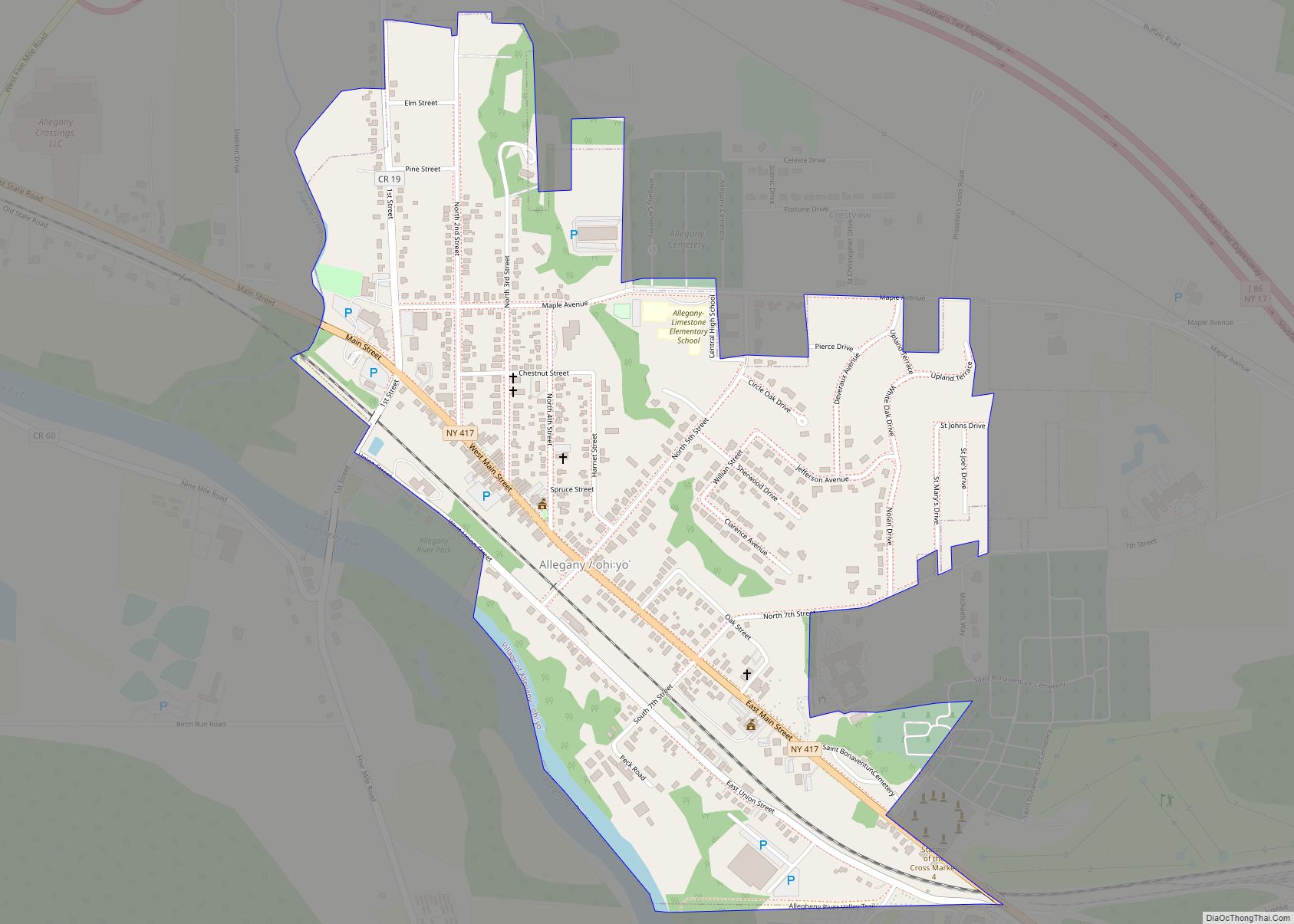
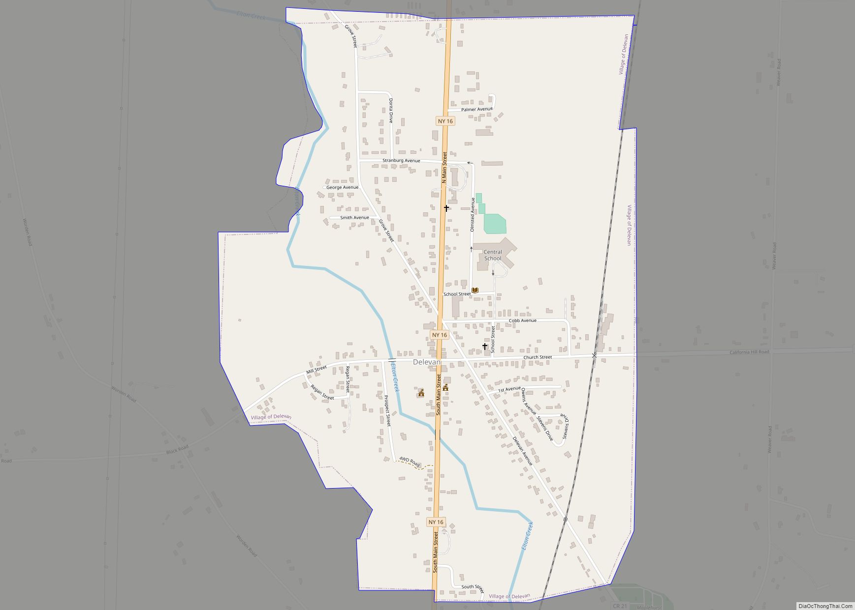
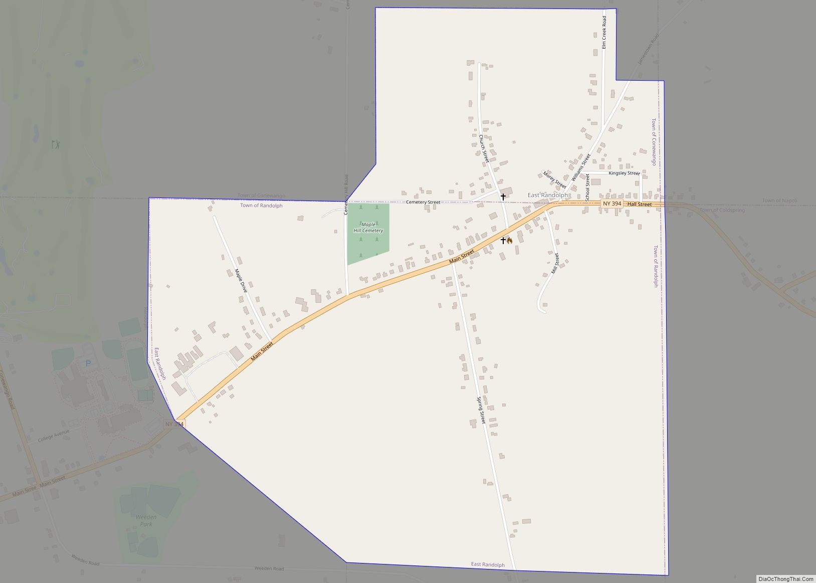
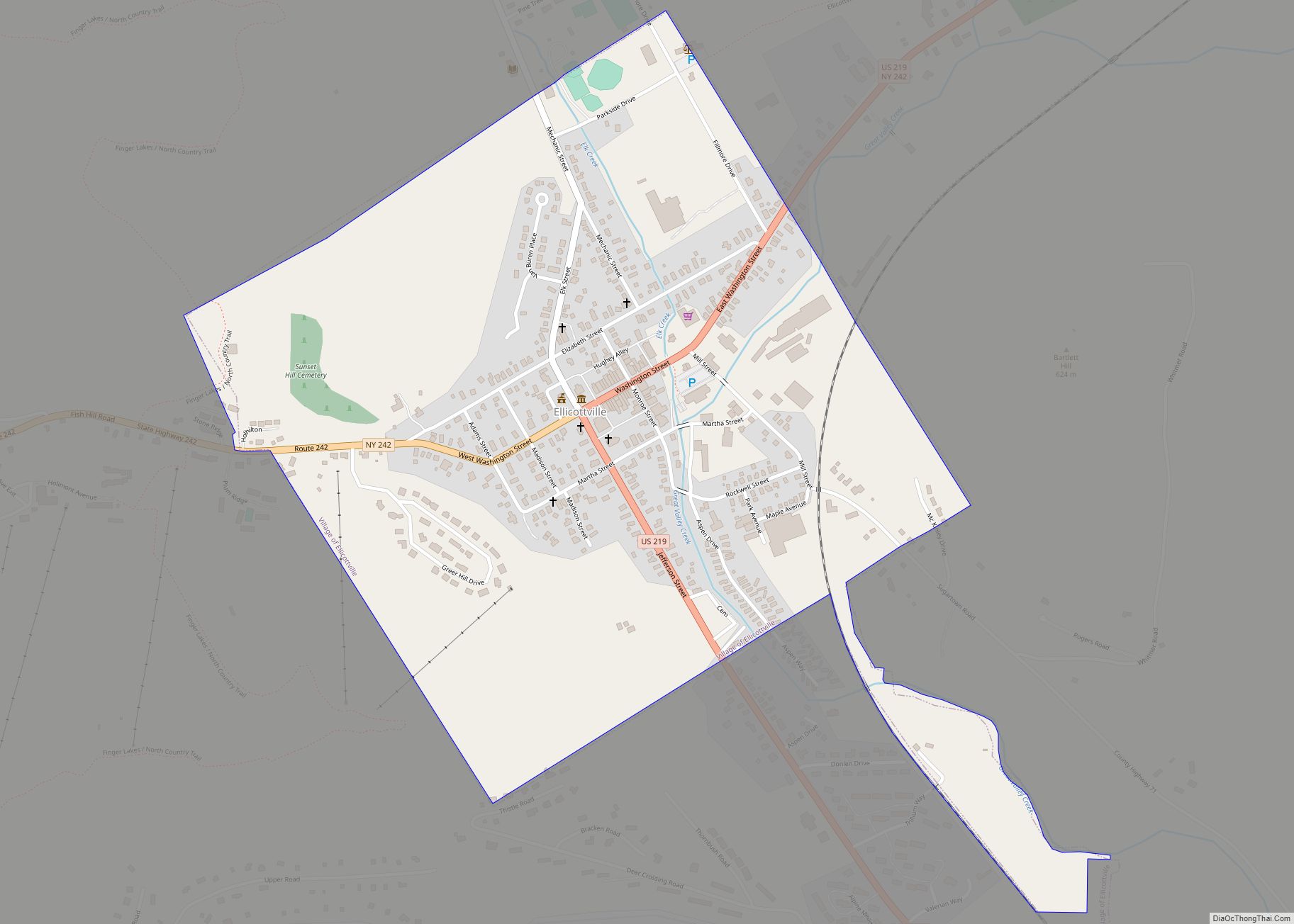
Online Interactive Map
Click on ![]() to view map in "full screen" mode.
to view map in "full screen" mode.
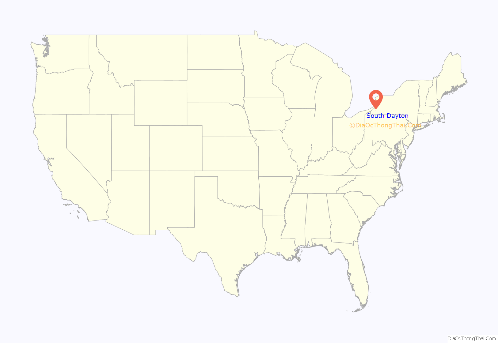
South Dayton location map. Where is South Dayton village?
History
The community was also known as “Pine Valley”; the name Pine Valley was later used for the name of the local school district (shared with neighboring Cherry Creek), the campus of which is situated southwest of the village. The arrival of the railroad in 1875 promoted the growth of the village, which incorporated in 1915.
Possibly the most famous event to occur in South Dayton is that a revelation is reported to have been received by the Mormon prophet, Joseph Smith, in the home of Freeman Nickerson on October 12, 1833, known as Section 100 of the Doctrine and Covenants. At the time the settlement was within the town of Perrysburg.
South Dayton was used as a filming location for the 1987 comedy road film, Planes, Trains and Automobiles. It was also featured in the classic film, The Natural, which starred Robert Redford.
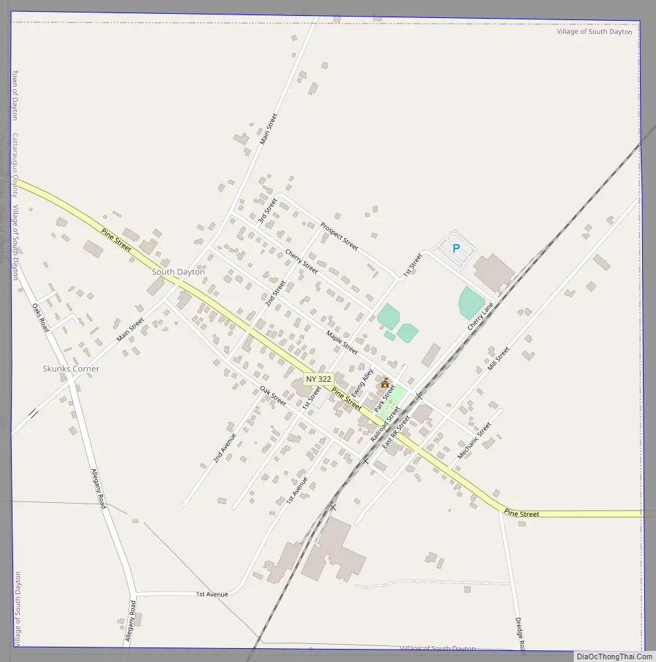
South Dayton Road Map
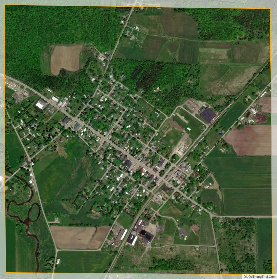
South Dayton city Satellite Map
Geography
South Dayton is located at 42°21′46″N 79°3′6″W / 42.36278°N 79.05167°W / 42.36278; -79.05167 (42.362796, -79.051715). The western boundary of the village follows the Chautauqua County line.
According to the United States Census Bureau, the village has a total area of 1.0 square mile (2.6 km), all land.
County Road 2 (Main Street in the village) and NY-322 pass through the village. The New York and Lake Erie Railroad serves the village with freight and occasional passenger rail service.
Skunks Corners is a crossroads in the southwestern part of the village.
See also
Map of New York State and its subdivision:- Albany
- Allegany
- Bronx
- Broome
- Cattaraugus
- Cayuga
- Chautauqua
- Chemung
- Chenango
- Clinton
- Columbia
- Cortland
- Delaware
- Dutchess
- Erie
- Essex
- Franklin
- Fulton
- Genesee
- Greene
- Hamilton
- Herkimer
- Jefferson
- Kings
- Lake Ontario
- Lewis
- Livingston
- Madison
- Monroe
- Montgomery
- Nassau
- New York
- Niagara
- Oneida
- Onondaga
- Ontario
- Orange
- Orleans
- Oswego
- Otsego
- Putnam
- Queens
- Rensselaer
- Richmond
- Rockland
- Saint Lawrence
- Saratoga
- Schenectady
- Schoharie
- Schuyler
- Seneca
- Steuben
- Suffolk
- Sullivan
- Tioga
- Tompkins
- Ulster
- Warren
- Washington
- Wayne
- Westchester
- Wyoming
- Yates
- Alabama
- Alaska
- Arizona
- Arkansas
- California
- Colorado
- Connecticut
- Delaware
- District of Columbia
- Florida
- Georgia
- Hawaii
- Idaho
- Illinois
- Indiana
- Iowa
- Kansas
- Kentucky
- Louisiana
- Maine
- Maryland
- Massachusetts
- Michigan
- Minnesota
- Mississippi
- Missouri
- Montana
- Nebraska
- Nevada
- New Hampshire
- New Jersey
- New Mexico
- New York
- North Carolina
- North Dakota
- Ohio
- Oklahoma
- Oregon
- Pennsylvania
- Rhode Island
- South Carolina
- South Dakota
- Tennessee
- Texas
- Utah
- Vermont
- Virginia
- Washington
- West Virginia
- Wisconsin
- Wyoming