South Fallsburg is a hamlet and census-designated place in Sullivan County, New York, United States. South Fallsburg is located within the Town of Fallsburg at 41°42′59″N 74°37′49″W / 41.71639°N 74.63028°W / 41.71639; -74.63028 (41.716489, -74.630279).
| Name: | South Fallsburg CDP |
|---|---|
| LSAD Code: | 57 |
| LSAD Description: | CDP (suffix) |
| State: | New York |
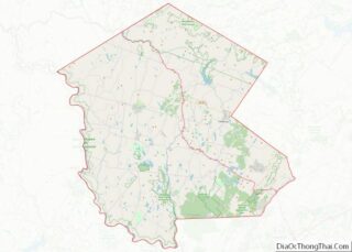
| County: | Sullivan County |
| Total Area: | 3.51 sq mi (9.10 km²) |
| Land Area: | 3.19 sq mi (8.25 km²) |
| Water Area: | 0.33 sq mi (0.85 km²) |
| Total Population: | 2,347 |
| Population Density: | 736.66/sq mi (284.45/km²) |
| ZIP code: | 12779 |
| Area code: | 845 |
| FIPS code: | 3668968 |
| GNISfeature ID: | 1867418 |
Online Interactive Map
Click on ![]() to view map in "full screen" mode.
to view map in "full screen" mode.
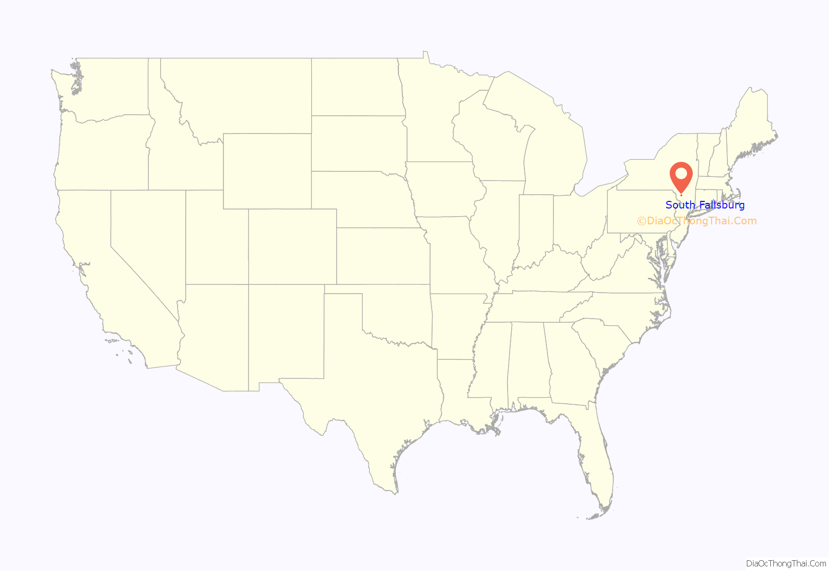
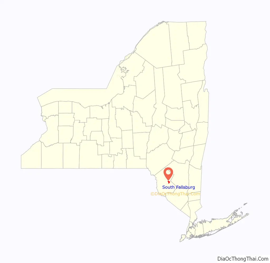
South Fallsburg location map. Where is South Fallsburg CDP?
History
South Fallsburg is located in the one-time resort area of the Catskill Mountains known as the Borscht Belt. The Raleigh Hotel on Heiden Road is a 320-room Glatt Kosher Cholov Yisrael hotel for Hasidic Jews sitting on 200 acres (0.81 km); it also serves as a convention center for religious and nonreligious groups. The Rivoli Theatre and South Fallsburg Hebrew Association Synagogue are listed on the National Register of Historic Places. The town is home to a center of Siddha Yoga, the Shree Muktananda Ashram of the SYDA Foundation.
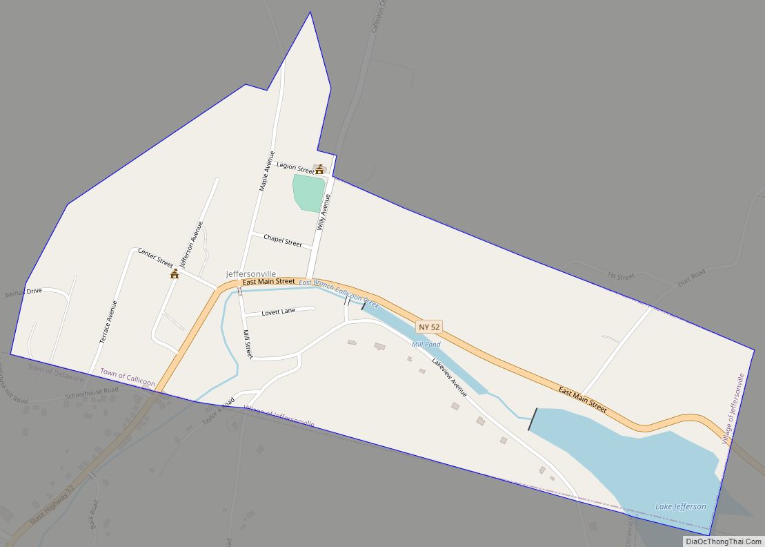
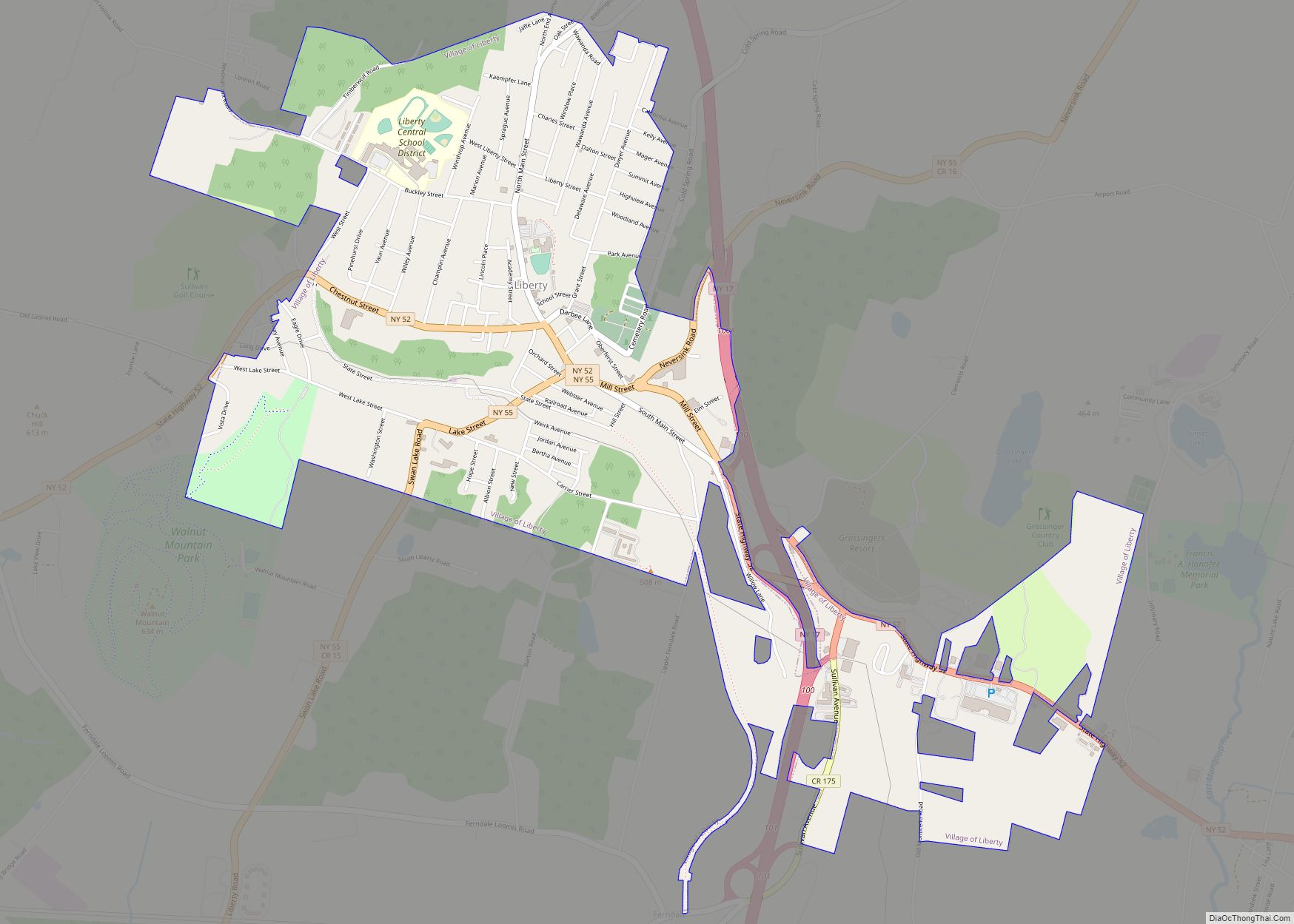
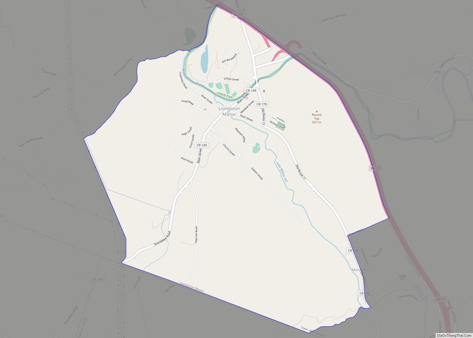
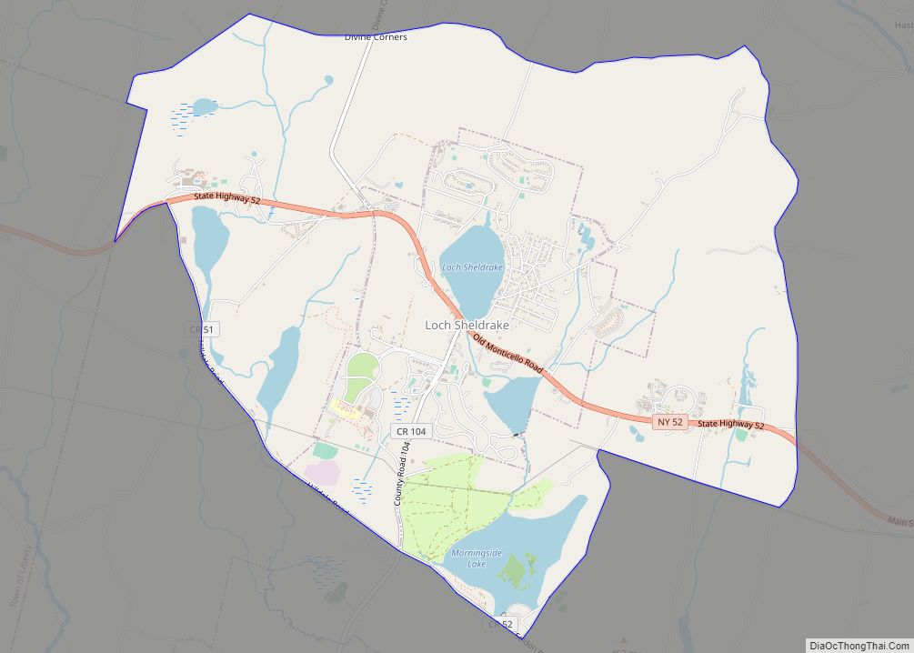
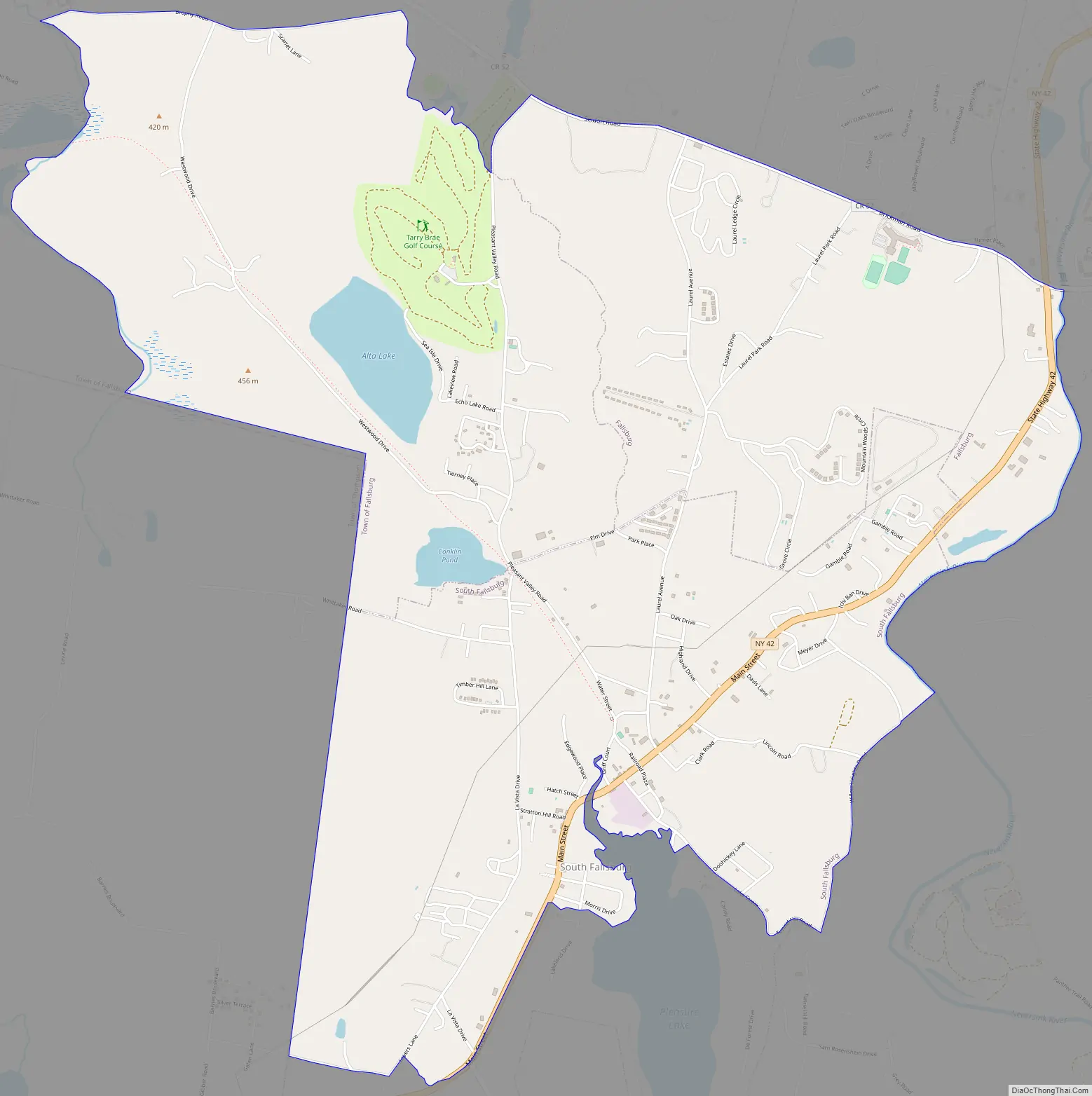
South Fallsburg Road Map
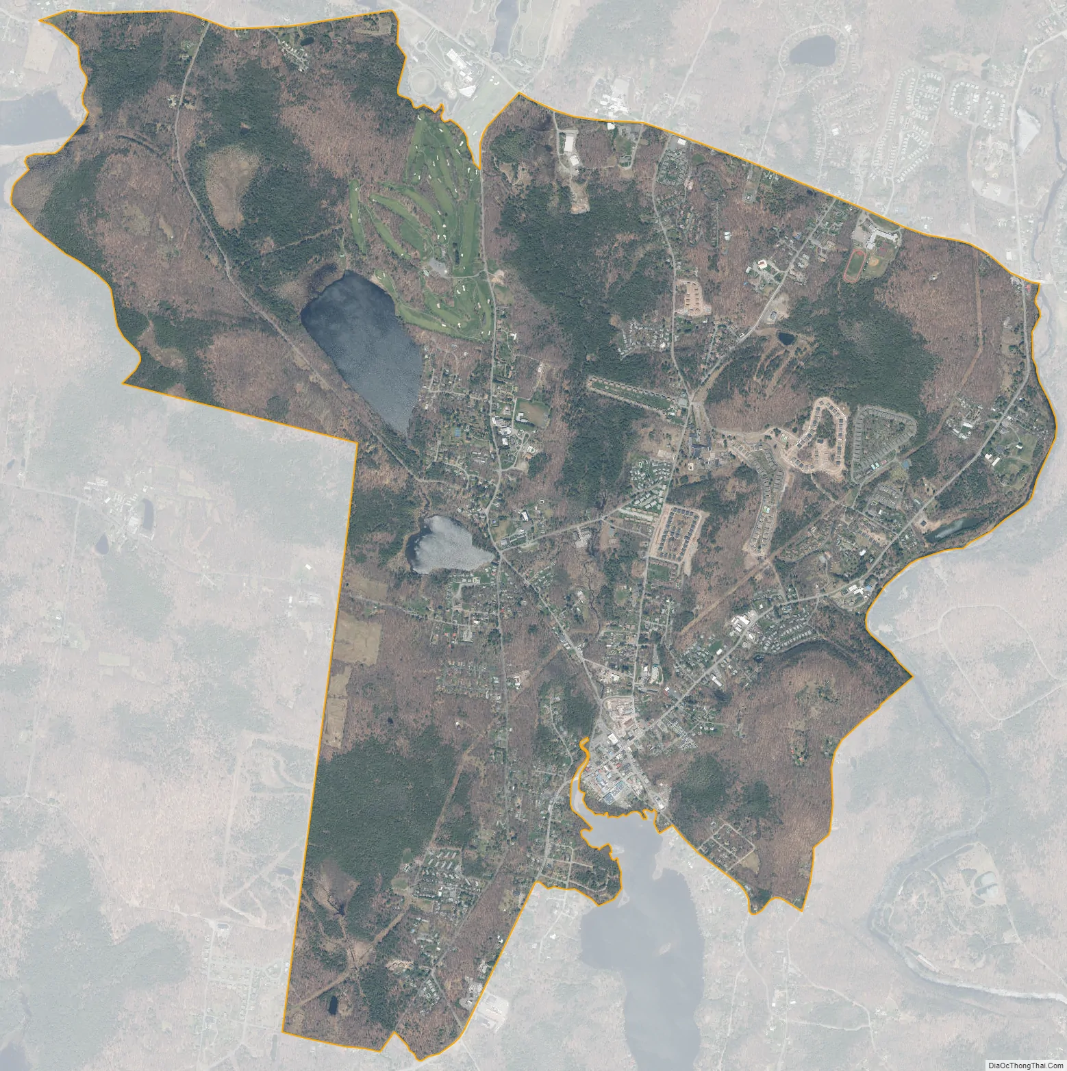
South Fallsburg city Satellite Map
See also
Map of New York State and its subdivision:- Albany
- Allegany
- Bronx
- Broome
- Cattaraugus
- Cayuga
- Chautauqua
- Chemung
- Chenango
- Clinton
- Columbia
- Cortland
- Delaware
- Dutchess
- Erie
- Essex
- Franklin
- Fulton
- Genesee
- Greene
- Hamilton
- Herkimer
- Jefferson
- Kings
- Lake Ontario
- Lewis
- Livingston
- Madison
- Monroe
- Montgomery
- Nassau
- New York
- Niagara
- Oneida
- Onondaga
- Ontario
- Orange
- Orleans
- Oswego
- Otsego
- Putnam
- Queens
- Rensselaer
- Richmond
- Rockland
- Saint Lawrence
- Saratoga
- Schenectady
- Schoharie
- Schuyler
- Seneca
- Steuben
- Suffolk
- Sullivan
- Tioga
- Tompkins
- Ulster
- Warren
- Washington
- Wayne
- Westchester
- Wyoming
- Yates
- Alabama
- Alaska
- Arizona
- Arkansas
- California
- Colorado
- Connecticut
- Delaware
- District of Columbia
- Florida
- Georgia
- Hawaii
- Idaho
- Illinois
- Indiana
- Iowa
- Kansas
- Kentucky
- Louisiana
- Maine
- Maryland
- Massachusetts
- Michigan
- Minnesota
- Mississippi
- Missouri
- Montana
- Nebraska
- Nevada
- New Hampshire
- New Jersey
- New Mexico
- New York
- North Carolina
- North Dakota
- Ohio
- Oklahoma
- Oregon
- Pennsylvania
- Rhode Island
- South Carolina
- South Dakota
- Tennessee
- Texas
- Utah
- Vermont
- Virginia
- Washington
- West Virginia
- Wisconsin
- Wyoming