South Farmingdale is a hamlet and census-designated place (CDP) in the Town of Oyster Bay in Nassau County, on the South Shore of Long Island, in New York, United States. The population of the CDP was 14,486 at the 2010 census.
The hamlet is anchored by (and often identified as part of) neighboring Farmingdale, and is served by the Farmingdale Post Office, Farmingdale School District, and Farmingdale Library.
| Name: | South Farmingdale CDP |
|---|---|
| LSAD Code: | 57 |
| LSAD Description: | CDP (suffix) |
| State: | New York |
| County: | Nassau County |
| Elevation: | 59 ft (18 m) |
| Total Area: | 2.20 sq mi (5.69 km²) |
| Land Area: | 2.19 sq mi (5.68 km²) |
| Water Area: | 0.00 sq mi (0.01 km²) |
| Total Population: | 14,345 |
| Population Density: | 6,541.27/sq mi (2,525.83/km²) |
| ZIP code: | 11735 |
| Area code: | 516 |
| FIPS code: | 3669001 |
| GNISfeature ID: | 0965744 |
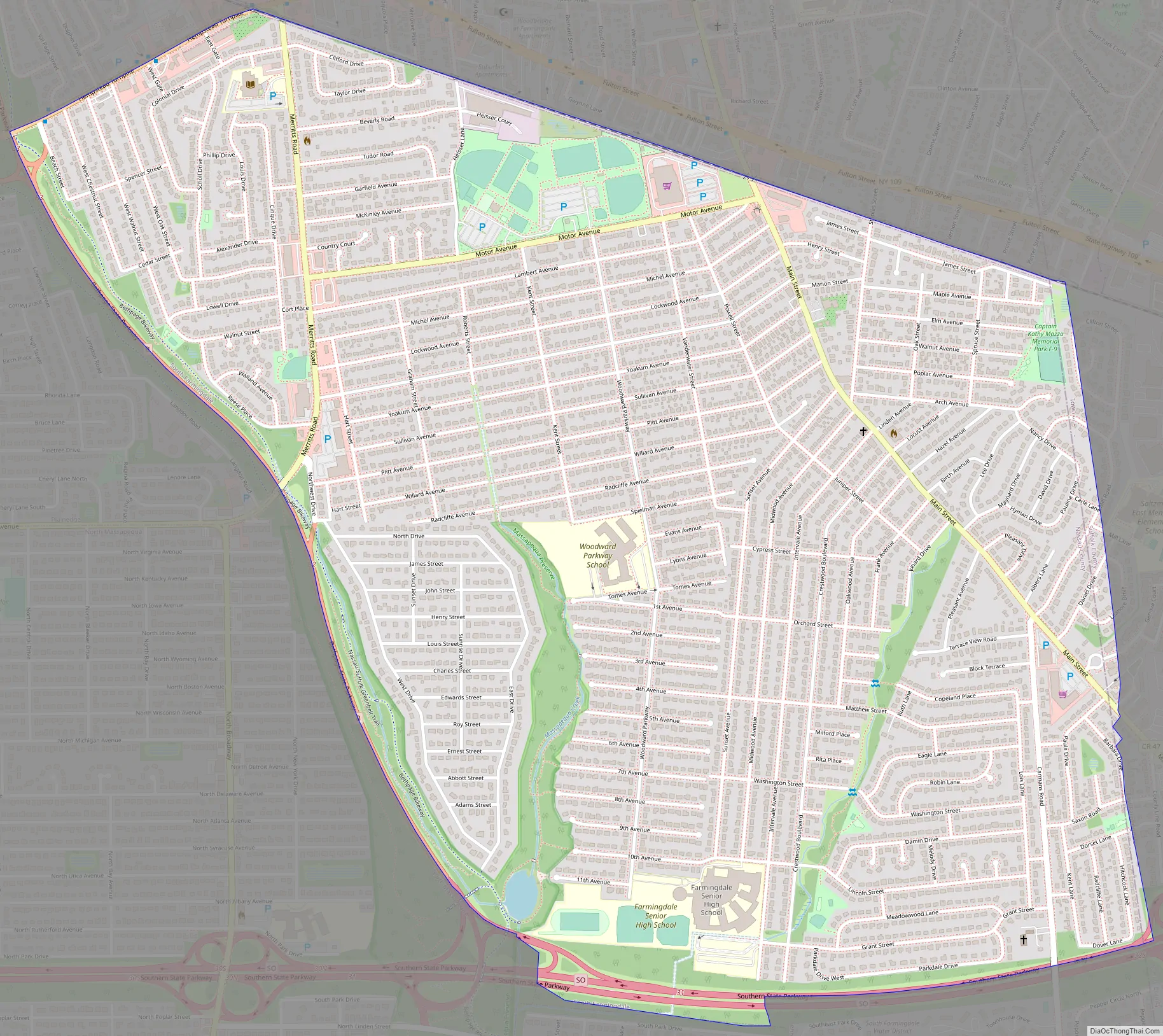
Online Interactive Map
Click on ![]() to view map in "full screen" mode.
to view map in "full screen" mode.
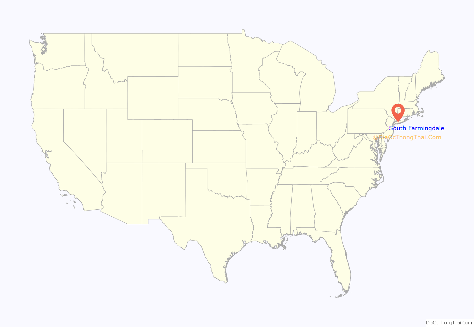
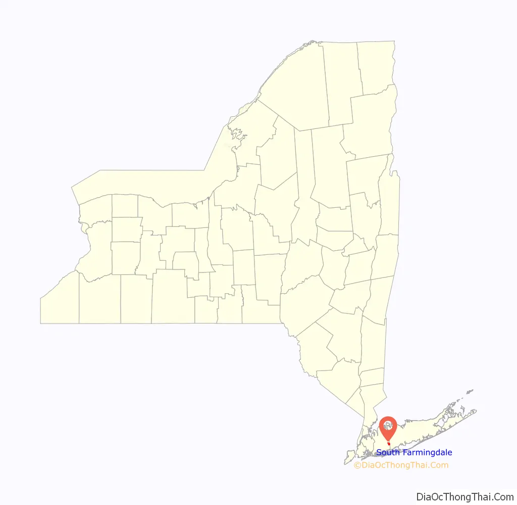
South Farmingdale location map. Where is South Farmingdale CDP?
History
South Farmingdale’s name reflects its geographic location immediately south of and adjacent to the Incorporated Village of Farmingdale.
A railroad station named South Farmingdale previously existed in the hamlet on the Central Branch of the Long Island Rail Road. It had originally opened in 1873 and closed in 1898, and then reopened in 1936 and closed for the final time in 1972.
South Farmingdale Road Map
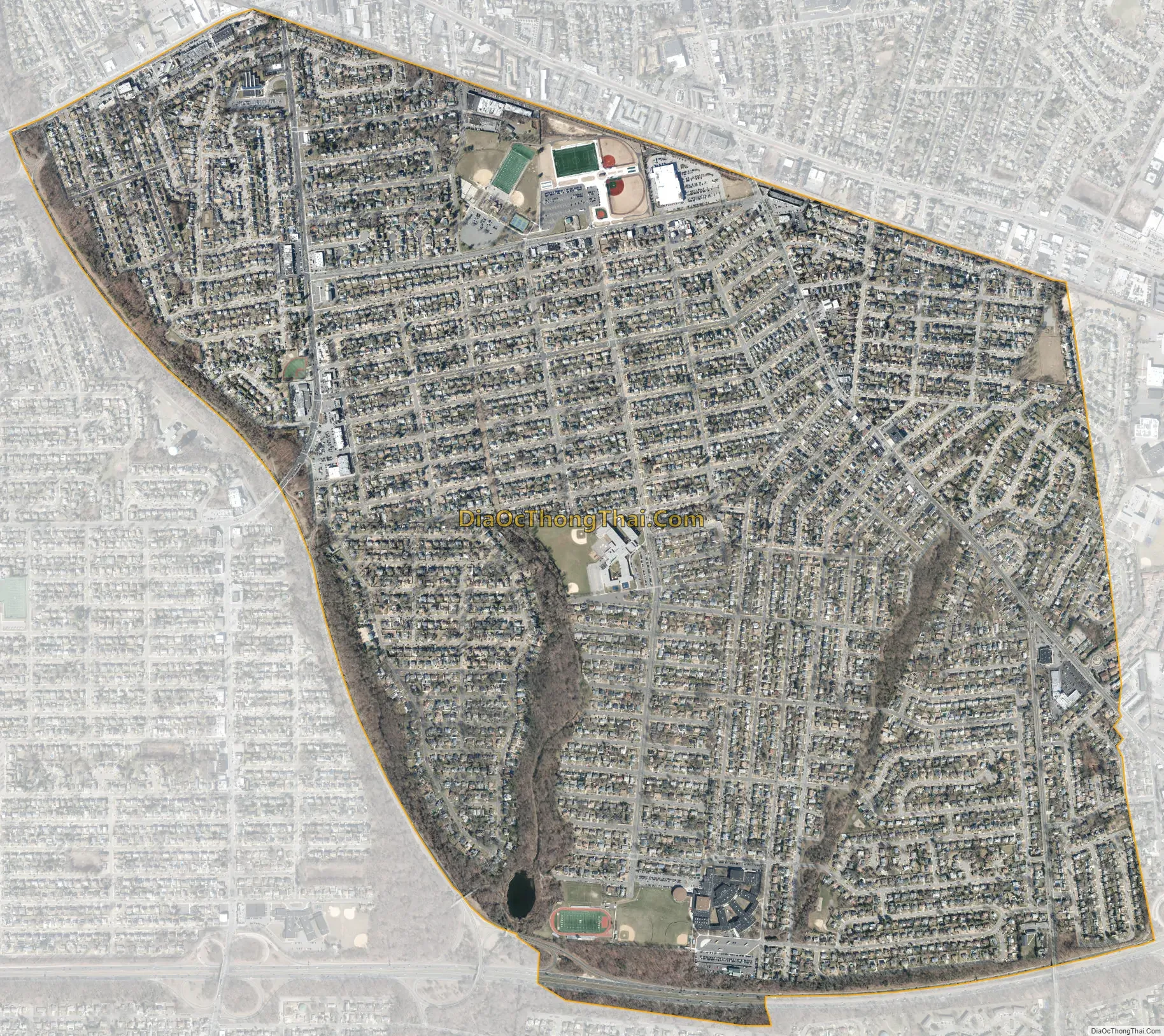
South Farmingdale city Satellite Map
Geography
According to the United States Census Bureau, South Farmingdale has a total area of 2.2 square miles (5.7 km), all land.
The CDP gained territory between the 1990 census and the 2000 census.
South Farmingdale is split between the Massapequa Creek and Seaford Creek Drainage Drainage Areas, and is located within the larger Long Island Sound/Atlantic Ocean Watershed.
See also
Map of New York State and its subdivision:- Albany
- Allegany
- Bronx
- Broome
- Cattaraugus
- Cayuga
- Chautauqua
- Chemung
- Chenango
- Clinton
- Columbia
- Cortland
- Delaware
- Dutchess
- Erie
- Essex
- Franklin
- Fulton
- Genesee
- Greene
- Hamilton
- Herkimer
- Jefferson
- Kings
- Lake Ontario
- Lewis
- Livingston
- Madison
- Monroe
- Montgomery
- Nassau
- New York
- Niagara
- Oneida
- Onondaga
- Ontario
- Orange
- Orleans
- Oswego
- Otsego
- Putnam
- Queens
- Rensselaer
- Richmond
- Rockland
- Saint Lawrence
- Saratoga
- Schenectady
- Schoharie
- Schuyler
- Seneca
- Steuben
- Suffolk
- Sullivan
- Tioga
- Tompkins
- Ulster
- Warren
- Washington
- Wayne
- Westchester
- Wyoming
- Yates
- Alabama
- Alaska
- Arizona
- Arkansas
- California
- Colorado
- Connecticut
- Delaware
- District of Columbia
- Florida
- Georgia
- Hawaii
- Idaho
- Illinois
- Indiana
- Iowa
- Kansas
- Kentucky
- Louisiana
- Maine
- Maryland
- Massachusetts
- Michigan
- Minnesota
- Mississippi
- Missouri
- Montana
- Nebraska
- Nevada
- New Hampshire
- New Jersey
- New Mexico
- New York
- North Carolina
- North Dakota
- Ohio
- Oklahoma
- Oregon
- Pennsylvania
- Rhode Island
- South Carolina
- South Dakota
- Tennessee
- Texas
- Utah
- Vermont
- Virginia
- Washington
- West Virginia
- Wisconsin
- Wyoming


