Southold is a census-designated place (CDP) that generally corresponds to the hamlet by the same name in the Town of Southold in Suffolk County, New York, United States. The CDP population was 5,748 at the 2010 census.
| Name: | Southold CDP |
|---|---|
| LSAD Code: | 57 |
| LSAD Description: | CDP (suffix) |
| State: | New York |
| County: | Suffolk County |
| Elevation: | 23 ft (7 m) |
| Total Area: | 14.55 sq mi (37.69 km²) |
| Land Area: | 10.46 sq mi (27.10 km²) |
| Water Area: | 4.08 sq mi (10.58 km²) |
| Total Population: | 6,040 |
| Population Density: | 577.16/sq mi (222.85/km²) |
| ZIP code: | 11971 |
| Area code: | 631, 934 |
| FIPS code: | 3669452 |
| GNISfeature ID: | 0965910 |
Online Interactive Map
Click on ![]() to view map in "full screen" mode.
to view map in "full screen" mode.
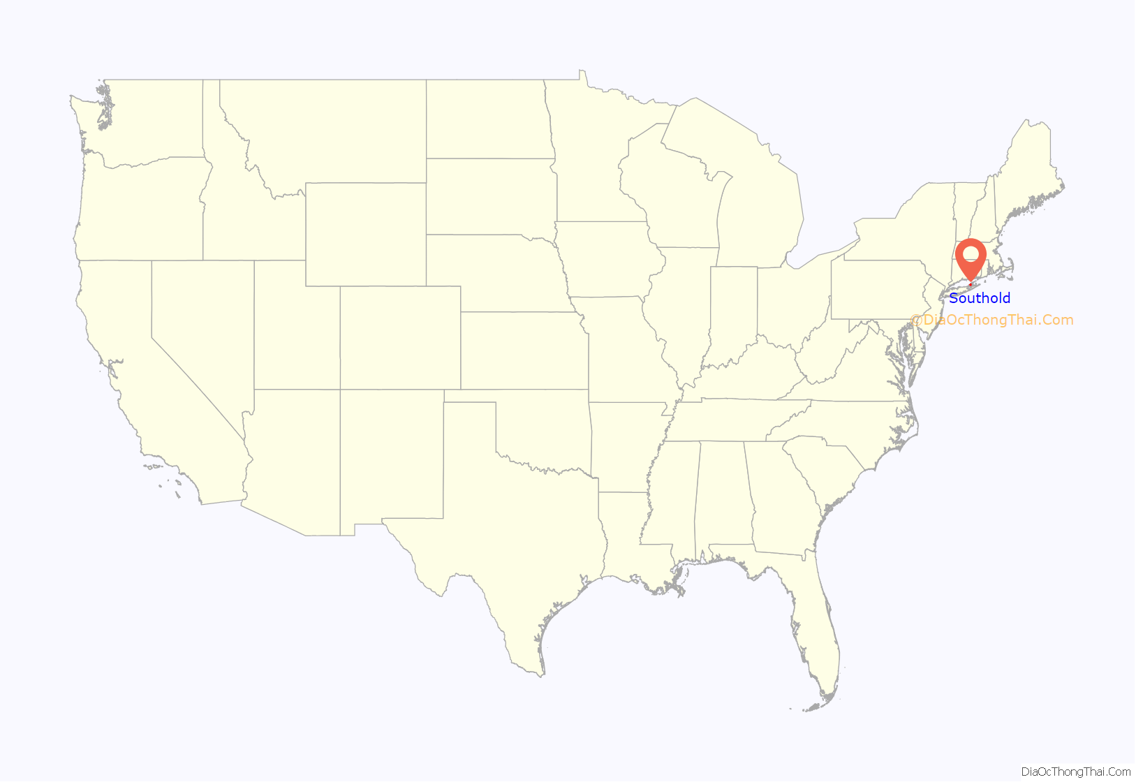
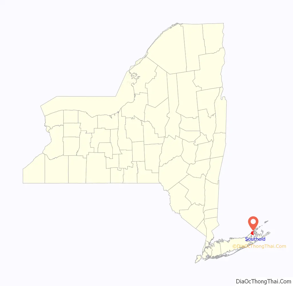
Southold location map. Where is Southold CDP?
History
Southold was the first English settlement in the future New York State, though this is partially due to a historical technicality—the territory of New Netherland was still owned by the Dutch at the time, but Southold lay in a part of Long Island that was part of Connecticut at the time and was later ceded in a legal dispute.
English Puritans from New Haven, Connecticut, settled in Southold on October 21, 1640. Under the leadership of the Reverend John Youngs, with Peter Hallock (after lots were drawn, the first to step ashore), the settlement consisted of the families of Barnabas Horton, John Budd, John Conklin, William Wells, John Tuthill, Thomas Mapes, Richard Terry, Matthias Corwin, Robert Akerly, Zachariah Corey and Isaac Arnold. The land had been purchased in the summer of 1640 from an Indian tribe, the Corchaugs. The Indian name of what became Southold was Yenicott.
Southold was to remain under the jurisdiction of New Haven until 1662, and of Connecticut until 1674. When the colony of New York was handed over to the Dutch in 1673, the eastern towns, including Southold, Easthampton and Southampton, refused to submit; the Dutch attempted to force the matter by arms, and the colonists of the towns repelled them, with assistance from Connecticut. When New York became English again in 1674, these eastern towns preferred to stay part of Connecticut, and Connecticut agreed, but the government of James, Duke of York, forced the matter. New York Governor Sir Edmund Andros threatened to eliminate the residents’ rights to land if they did not yield, which they did by 1676. This is largely a result of the Duke of York’s grudge against Connecticut, as New Haven had hidden three of the judges who sentenced the Duke’s father, King Charles I, to death in 1649.
The name Southold is believed by some to be a misspelling of Southwold, which is a coastal town in the corresponding English county of Suffolk. This claim is debatable, but John Youngs was born and brought up in Southwold. Also within the New York hamlet is an area known as Reydon Shores. Reydon is the adjoining village to Southwold in England and was the home of John Youngs’ wife. An alternative explanation is that the name refers to a “holding” to the south of New Haven, from whence the original settlers hailed. Many of the hamlet’s older structures are included in the Southold Historic District, added to the National Register of Historic Places in 1997.
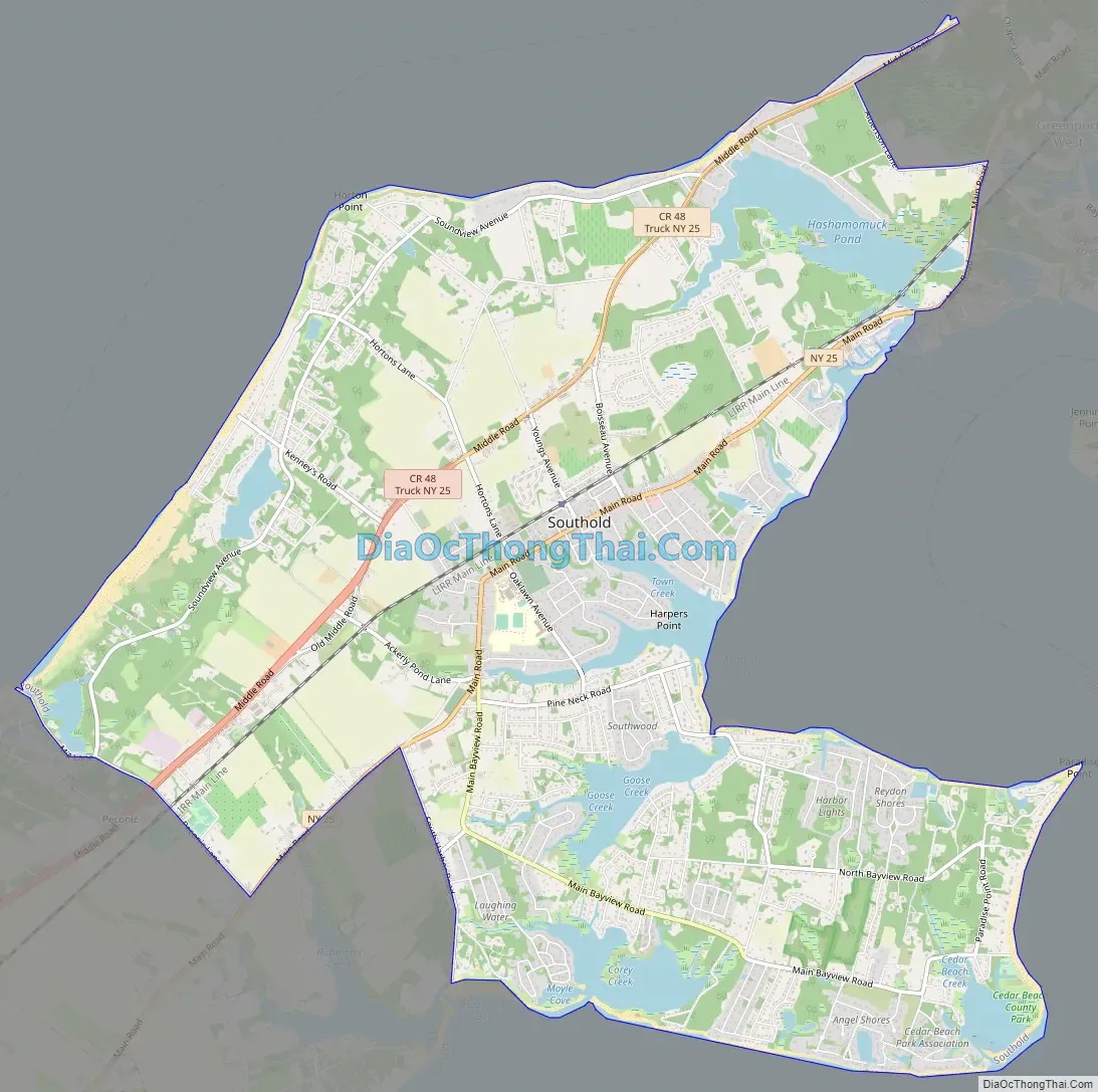
Southold Road Map
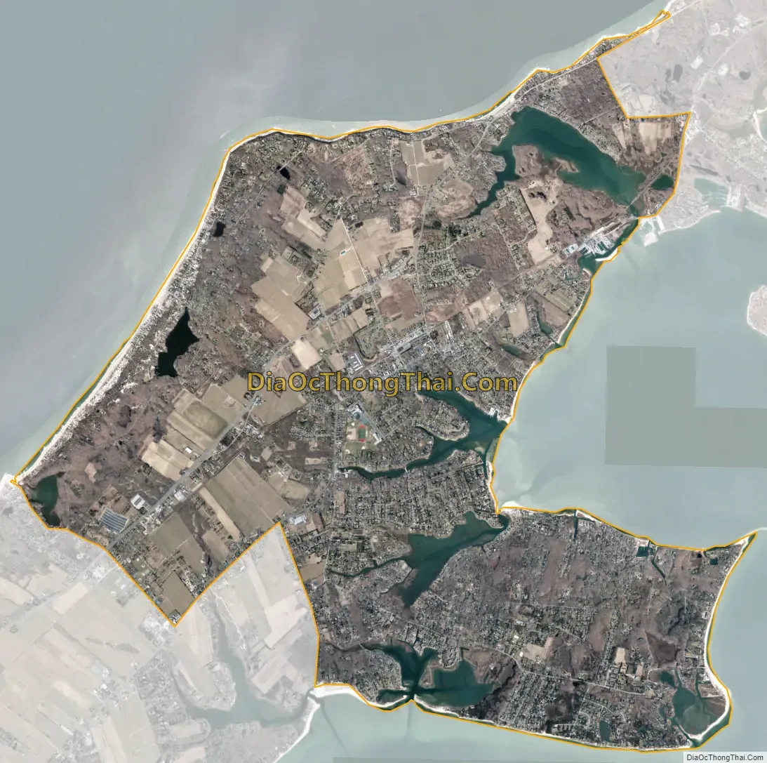
Southold city Satellite Map
Geography
According to the United States Census Bureau, the CDP has a total area of 11.3 square miles (29.3 km), of which 10.5 square miles (27.1 km) is land and 0.85 square miles (2.2 km), or 7.55%, is water.
See also
Map of New York State and its subdivision:- Albany
- Allegany
- Bronx
- Broome
- Cattaraugus
- Cayuga
- Chautauqua
- Chemung
- Chenango
- Clinton
- Columbia
- Cortland
- Delaware
- Dutchess
- Erie
- Essex
- Franklin
- Fulton
- Genesee
- Greene
- Hamilton
- Herkimer
- Jefferson
- Kings
- Lake Ontario
- Lewis
- Livingston
- Madison
- Monroe
- Montgomery
- Nassau
- New York
- Niagara
- Oneida
- Onondaga
- Ontario
- Orange
- Orleans
- Oswego
- Otsego
- Putnam
- Queens
- Rensselaer
- Richmond
- Rockland
- Saint Lawrence
- Saratoga
- Schenectady
- Schoharie
- Schuyler
- Seneca
- Steuben
- Suffolk
- Sullivan
- Tioga
- Tompkins
- Ulster
- Warren
- Washington
- Wayne
- Westchester
- Wyoming
- Yates
- Alabama
- Alaska
- Arizona
- Arkansas
- California
- Colorado
- Connecticut
- Delaware
- District of Columbia
- Florida
- Georgia
- Hawaii
- Idaho
- Illinois
- Indiana
- Iowa
- Kansas
- Kentucky
- Louisiana
- Maine
- Maryland
- Massachusetts
- Michigan
- Minnesota
- Mississippi
- Missouri
- Montana
- Nebraska
- Nevada
- New Hampshire
- New Jersey
- New Mexico
- New York
- North Carolina
- North Dakota
- Ohio
- Oklahoma
- Oregon
- Pennsylvania
- Rhode Island
- South Carolina
- South Dakota
- Tennessee
- Texas
- Utah
- Vermont
- Virginia
- Washington
- West Virginia
- Wisconsin
- Wyoming


