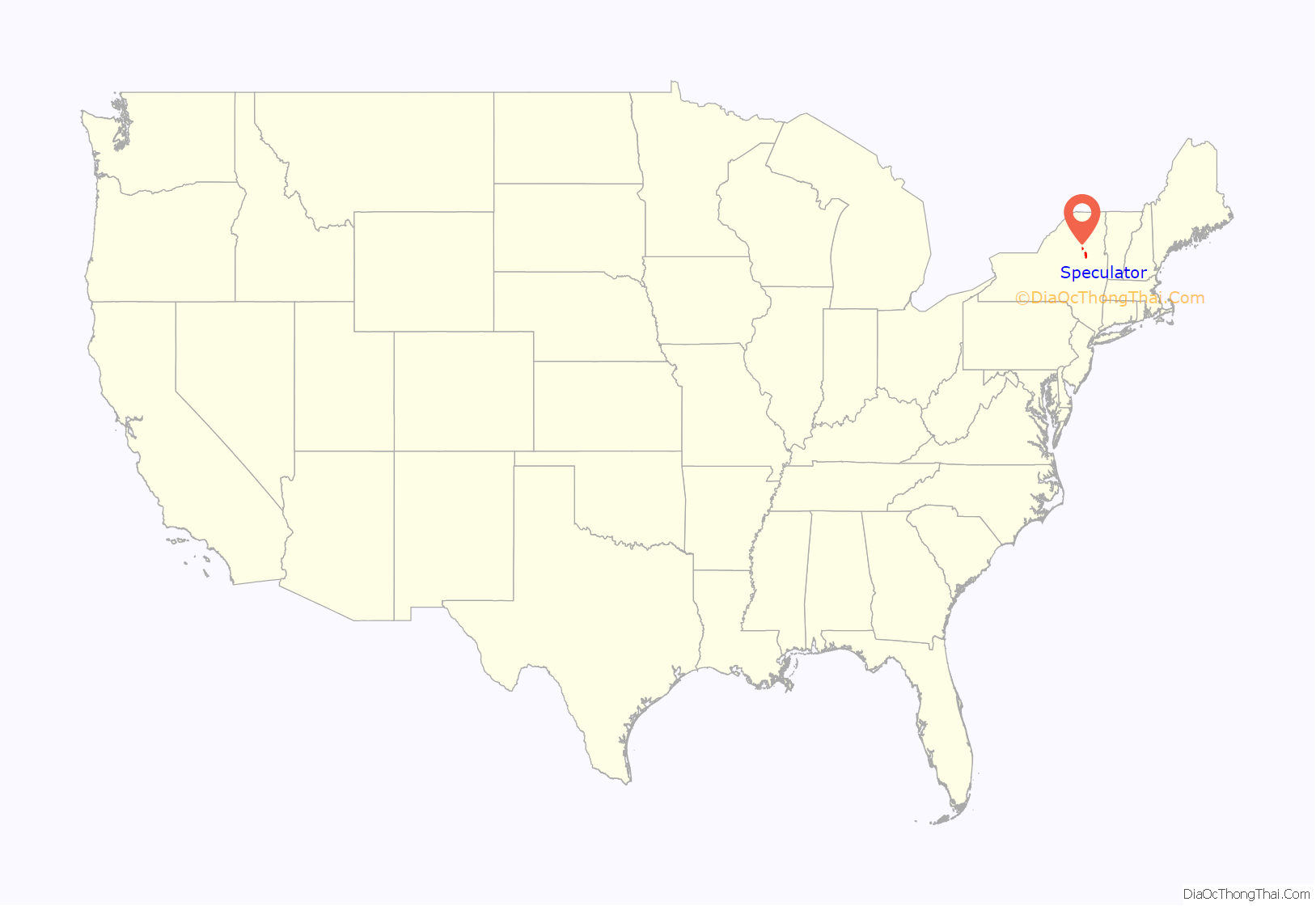
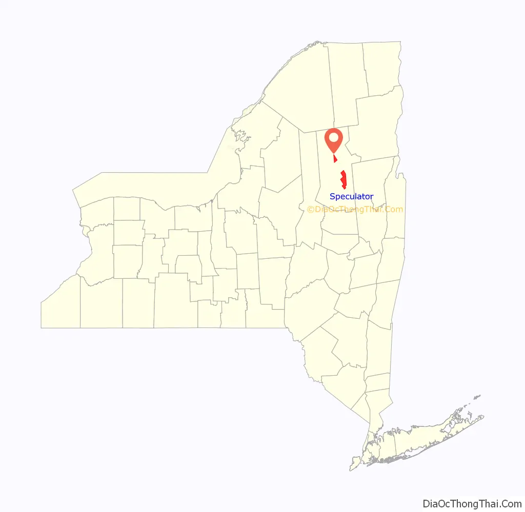
Speculator is a village in Hamilton County, New York, United States. The population was 406 at the 2020 census. The 2,966-foot (904 m) Speculator Mountain rises just south of the village.
Speculator is the only incorporated village within Hamilton County and is within the town of Lake Pleasant. The village includes the northeastern end of a lake, also called Lake Pleasant. The local inhabitants sometimes refer to the village as the “Four Corners”, referring to the intersection of NYS Route 8 and NYS Route 30 in the middle of the business district.
Speculator is within the Adirondack Park.
| Name: | Speculator village |
|---|---|
| LSAD Code: | 47 |
| LSAD Description: | village (suffix) |
| State: | New York |
| County: | Hamilton County |
| Incorporated: | 1925 |
| Elevation: | 1,739 ft (530 m) |
| Total Area: | 47.20 sq mi (122.26 km²) |
| Land Area: | 44.61 sq mi (115.54 km²) |
| Water Area: | 2.60 sq mi (6.72 km²) 5.50% |
| Total Population: | 406 |
| Population Density: | 9.10/sq mi (3.51/km²) |
| ZIP code: | 12164 |
| Area code: | 518 |
| FIPS code: | 3670123 |
| GNISfeature ID: | 0965973 |
| Website: | www.villageofspeculator.com |
Online Interactive Map
Click on ![]() to view map in "full screen" mode.
to view map in "full screen" mode.
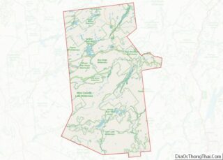
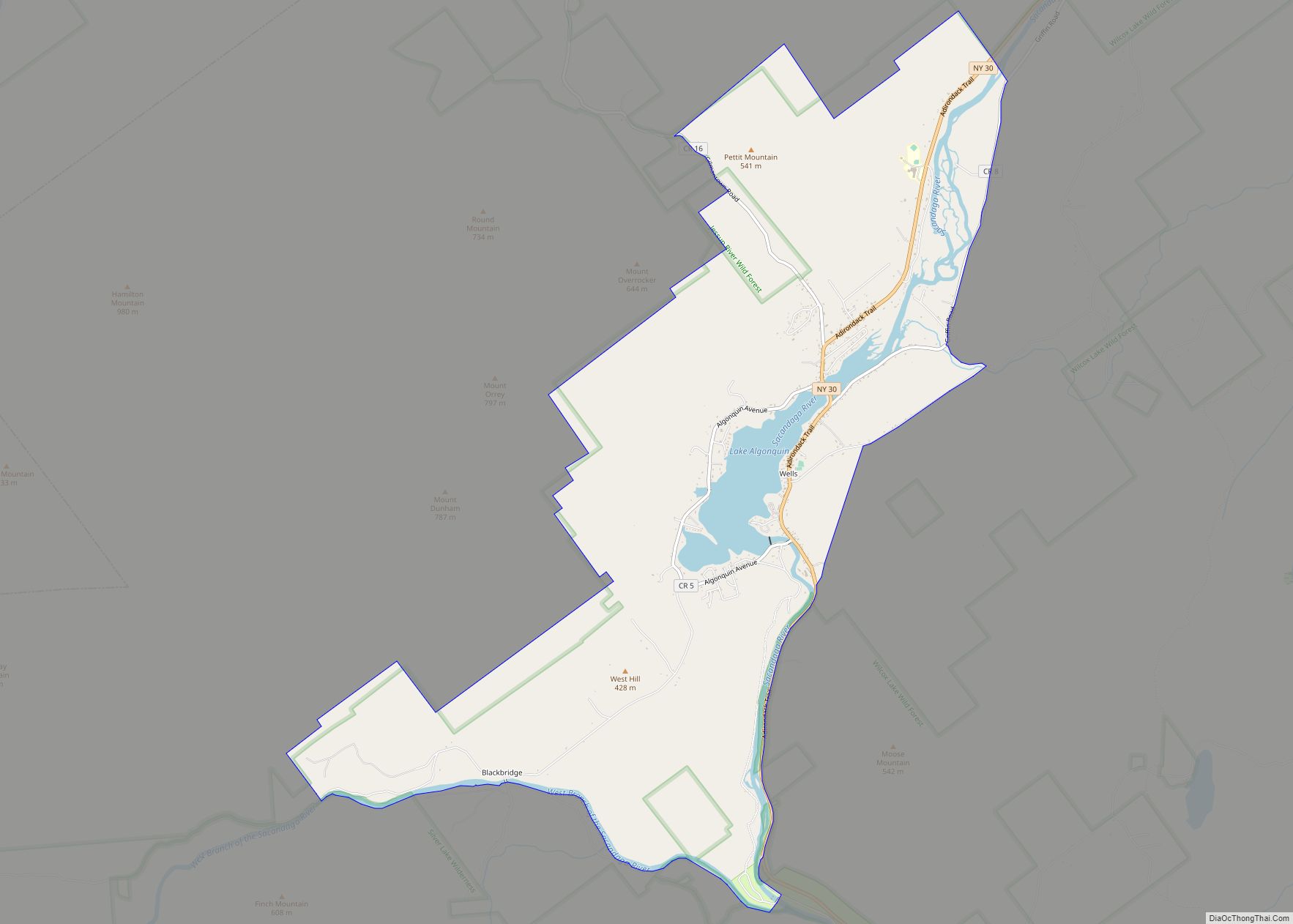
Speculator location map. Where is Speculator village?
History
Native Americans
Archeological evidence of Native Americans has been found in arrowheads and spearheads near the shores of Lake Pleasant. Many historians believe Speculator was the hunting and fishing grounds of both Mohawk and Algonquin tribes. These Native Americans would only travel to the Adirondack Mountains to hunt during the warm months, while their villages were located in the Mohawk and Hudson Valley regions. There was a Mohawk, who named himself Captain Gill, who lived in a wigwam at the outlet of Lake Pleasant, during the end of the eighteenth century and the beginning of the nineteenth century. He had a wife named Molly, who had a daughter named Molly Jr., although Capt. Gill didn’t claim the daughter as his own. Old Capt. Gill was a trail guide for the first settlers. He would show them places to hunt and fish. Capt. Gill was most famous for his storytelling of the Iroquois Nation, such as the Flying Head.
Newton’s Corners
The small settlement at the outlet of Lake Pleasant was part of the town of Lake Pleasant. In 1864, Joel Newton built a small store and hotel in the center of town and secured a post office with the name “Newton’s Corners”. At that time, Page Hill and Page Street were included in Newton’s Corners. Joel Newton’s structure burned in 1870, and in 1872 the Newton’s Corners post office was reopened in Satterlee’s store. Henry Dunning built a hotel in 1882, on the former site of Newton’s hotel and the post office had moved there, and in 1896, the community received a new name, “Speculator”, after the mountain seen across the lake.
Becoming Speculator
In 1892, a few ambitious and industrious business leaders felt they needed to update and modernize their facilities. Speculator was a “booming Mecca” for tourists. With the support of the voters in 1925, the village of Speculator was incorporated with a mayor and two trustees, which later changed to four trustees. The village of Speculator purchased a small water system of Dexter Slack and expanded it. The village had a generating plant and waterwheel installed at Christine Falls, and by 1926 they had electricity.
Age of tourism
Growth escalated in the Victorian era between the mid-1800s and the early 1900s. Entire families spent their summers enjoying the mountain hospitality and fresh air. Several more hotels were built to accommodate them, and eventually more stores, homes and several cottages were built. Around the 1850s, city sportsmen began to come to the Adirondack Mountains to hunt, fish, and enjoy expeditions into the deep woods. They hired local men to be guides, who provided food and crude lean-tos for shelter. Hunting shanties were later widely used. With these sportsmen came their whole families to use the many hotels and boardinghouses in Lake Pleasant and Speculator. Private summer camps and cottages were built and along came the established family and children camps. Camps such as Camp-of-the-Woods, Camp Setag for girls, Kamp Kun-ju-muk for boys, the YMCA Camp Agaming, and Deerfoot Lodge for boys were established around the shores of local lakes. After World War I, famous athletes came to practice in the isolated communities, such as Gene Tunney, Max Schmeling, and Max Baer, who arrived to train for their heavyweight championship fights at various times.
Age of lumbering
In the beginning, small sawmills provided lumber for local use. After the Civil War, large lumber companies formed and mills were built near the Glens Falls area. At first logging was prevalent along the upper Hudson River which was used to float the logs to the mills. Later, logging operations moved into Lake Pleasant, and the Sacandaga River, the outlet of Lake Pleasant, was used to float logs to Glens Falls as the state of New York designated rivers as public highways for moving logs to the larger companies. Many local farmers found winter employment as lumberjacks, and also supplied the companies with potatoes, meat, animal feed and dairy products. The lumber companies bought large parcels of land for their timber. Some of this land was later abandoned and became state land. This was the beginning of the Adirondack Park as designated in 1892.
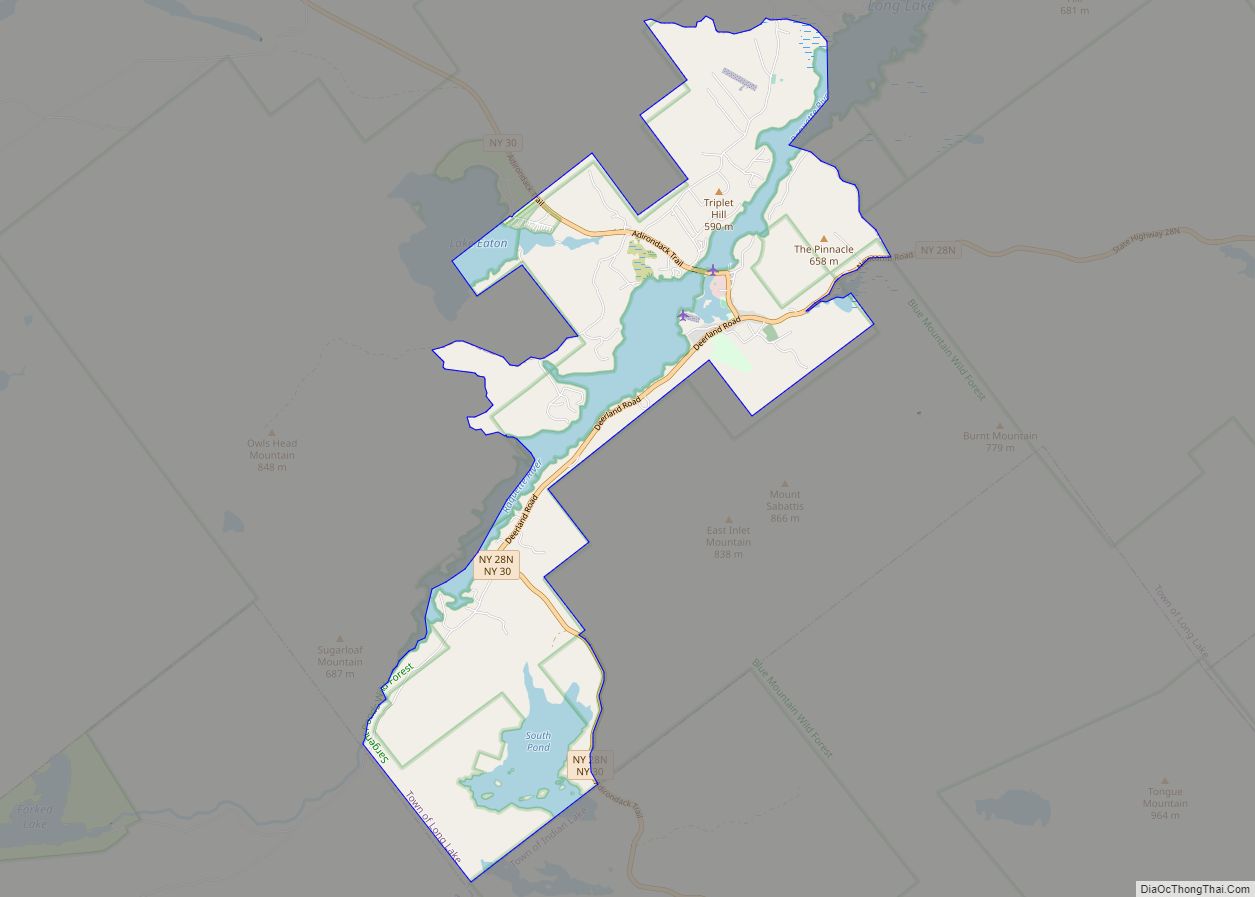
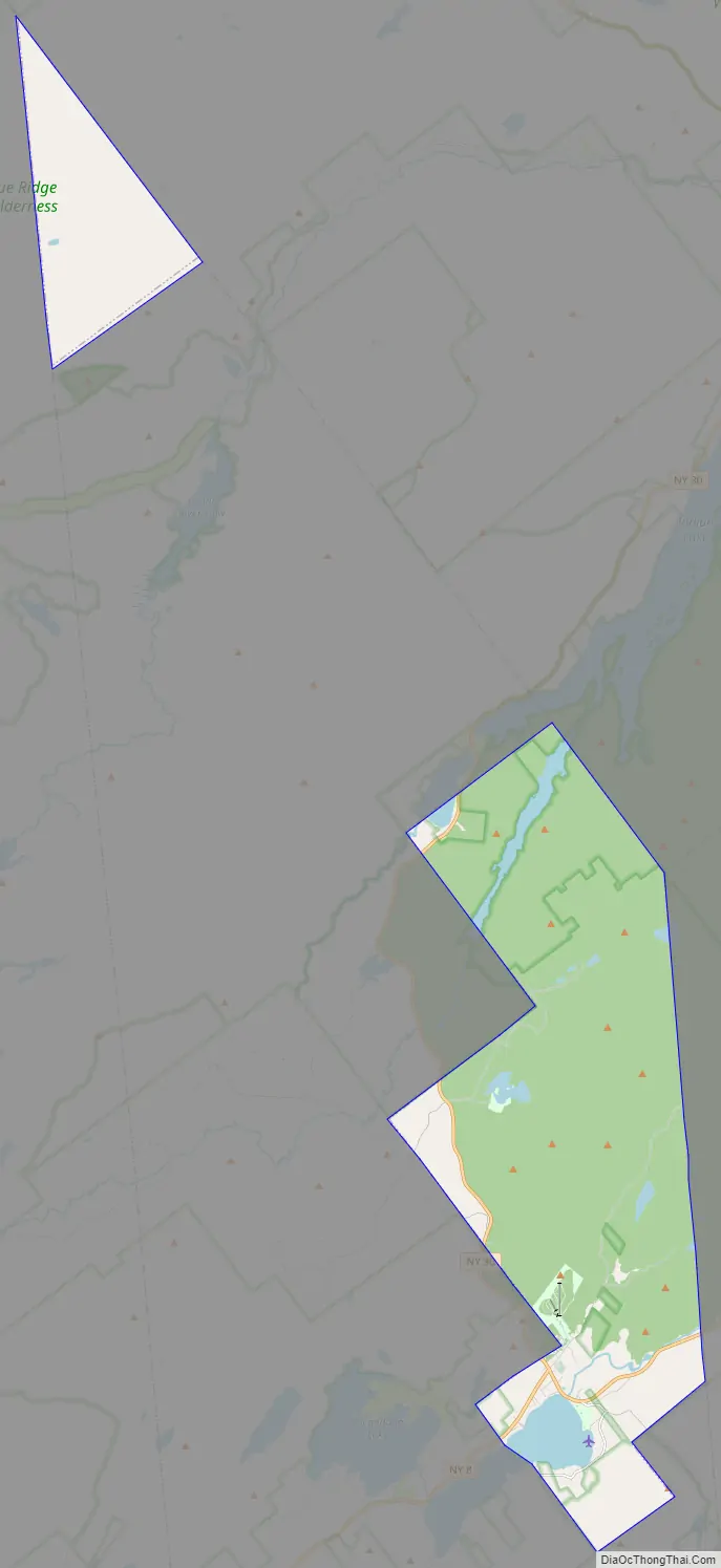
Speculator Road Map
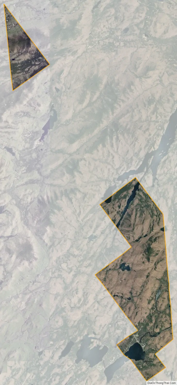
Speculator city Satellite Map
Geography
According to the United States Census Bureau, the village has a total area of 47.2 square miles (122 km), of which 44.7 square miles (116 km) are land and 2.6 square miles (6.7 km), or 5.46%, are water.
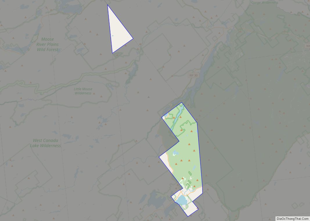
Unusually, the city has an exclave in the northern portion of its containing township (Lake Pleasant). The exclave is completely inaccessible by road and it is not clear why it exists. The closest roadway to the exclave is NY 28.
Speculator Mountain, with an altitude of 2,966 feet (904 m), is south of the village.
Lake Pleasant and Sacandaga Lake are west of the village. The Sacandaga River assumes its riverine nature from the outflow of Lake Pleasant at Speculator, although much of the water flows from Sacandaga Lake through the Sacandaga Lake Outlet into Lake Pleasant underneath NY-8 southwest of the village.
NY 8 and NY 30 intersect and combine in the village.
The entire village is located within the Lake Pleasant Central School District.
See also
Map of New York State and its subdivision:- Albany
- Allegany
- Bronx
- Broome
- Cattaraugus
- Cayuga
- Chautauqua
- Chemung
- Chenango
- Clinton
- Columbia
- Cortland
- Delaware
- Dutchess
- Erie
- Essex
- Franklin
- Fulton
- Genesee
- Greene
- Hamilton
- Herkimer
- Jefferson
- Kings
- Lake Ontario
- Lewis
- Livingston
- Madison
- Monroe
- Montgomery
- Nassau
- New York
- Niagara
- Oneida
- Onondaga
- Ontario
- Orange
- Orleans
- Oswego
- Otsego
- Putnam
- Queens
- Rensselaer
- Richmond
- Rockland
- Saint Lawrence
- Saratoga
- Schenectady
- Schoharie
- Schuyler
- Seneca
- Steuben
- Suffolk
- Sullivan
- Tioga
- Tompkins
- Ulster
- Warren
- Washington
- Wayne
- Westchester
- Wyoming
- Yates
- Alabama
- Alaska
- Arizona
- Arkansas
- California
- Colorado
- Connecticut
- Delaware
- District of Columbia
- Florida
- Georgia
- Hawaii
- Idaho
- Illinois
- Indiana
- Iowa
- Kansas
- Kentucky
- Louisiana
- Maine
- Maryland
- Massachusetts
- Michigan
- Minnesota
- Mississippi
- Missouri
- Montana
- Nebraska
- Nevada
- New Hampshire
- New Jersey
- New Mexico
- New York
- North Carolina
- North Dakota
- Ohio
- Oklahoma
- Oregon
- Pennsylvania
- Rhode Island
- South Carolina
- South Dakota
- Tennessee
- Texas
- Utah
- Vermont
- Virginia
- Washington
- West Virginia
- Wisconsin
- Wyoming