Springville is a village in the southeastern section of the town of Concord in Erie County, New York, United States. Springville is the principal community in the town and a major business location in southern Erie County. The population was 4,296 at the 2010 census. It is part of the Buffalo–Niagara Falls Metropolitan Statistical Area. Springville was originally named “Fiddler’s Green” before it was renamed “Springville”. Springville is well known for being home to Glenn “Pop” Warner, an important figure in American Football history. It is governed by current mayor Timothy Michaels as of 2022, and the village board of trustees.
| Name: | Springville village |
|---|---|
| LSAD Code: | 47 |
| LSAD Description: | village (suffix) |
| State: | New York |
| County: | Erie County |
| Elevation: | 1,329 ft (405 m) |
| Total Area: | 3.69 sq mi (9.56 km²) |
| Land Area: | 3.68 sq mi (9.53 km²) |
| Water Area: | 0.01 sq mi (0.02 km²) |
| Total Population: | 4,225 |
| Population Density: | 1,148.10/sq mi (443.26/km²) |
| ZIP code: | 14141 |
| Area code: | 716 |
| FIPS code: | 3670442 |
| GNISfeature ID: | 0966106 |
| Website: | www.villageofspringvilleny.com |
Online Interactive Map
Click on ![]() to view map in "full screen" mode.
to view map in "full screen" mode.
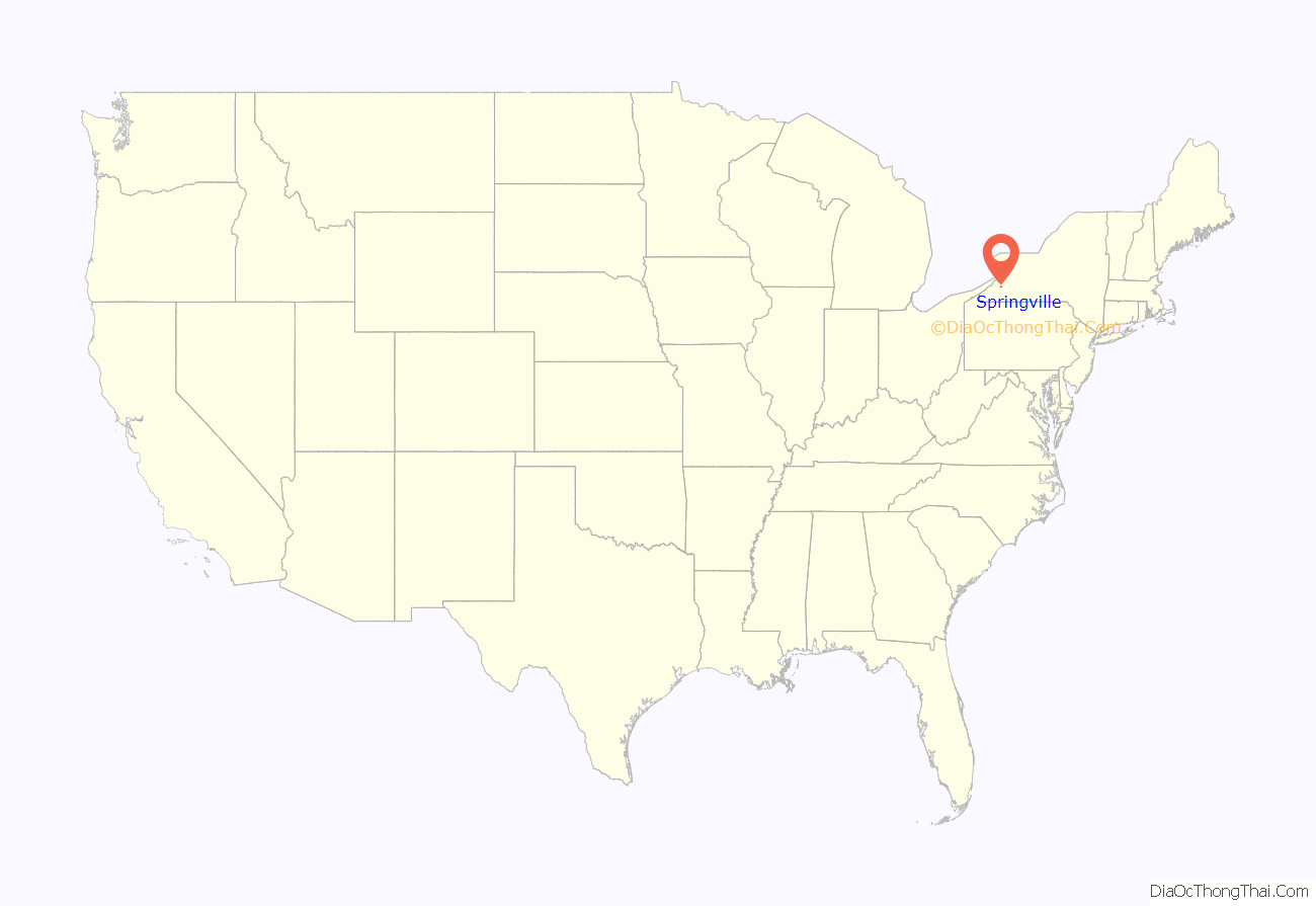
Springville location map. Where is Springville village?
History
In 1808, Samuel Cochran became the first permanent settler in the town, it had been a tract of land once known as Holland Purchase. The Springville Academy, opening in 1830, became the first high school in Erie County. It was given its current name, Springville Griffith Institute, in 1867 to honor Archibald Griffith, a donor. The village of Springville was incorporated in 1834 from part of the town of Concord. The Dygert Farm on Elk Street was the site of the 1866 and 1867 Erie County Fair, and also served as training grounds for Jim Thorpe.
The Springville post office contains a mural, Fiddler’s Green, painted in 1939 by Victoria Hutson Huntley. Federally commissioned murals were produced from 1934 to 1943 in the United States through the Section of Painting and Sculpture, later called the Section of Fine Arts, of the Treasury Department.
Springville is home to five National Register of Historic Places-listed (NRHP) buildings (Citizens National Bank; Buffalo, Rochester and Pittsburgh Railroad Station; Baptist Church of Springville; United States Post Office; Scoby Power Plant and Dam) and the NRHP-listed East Main-Mechanic Streets Historic District and East Hill Historic District.
Springville Road Map
Springville city Satellite Map
Geography
According to the United States Census Bureau, the village has a total area of 3.7 square miles (9.6 km), of which 3.7 square miles (9.6 km) is land and 0.27% is water.
Cattaraugus Creek and Cattaraugus County are south of the village.
New York State Route 39 (NY 39), a major east–west truck road, becomes Main Street upon entering Springville. U.S. Route 219, the Southern Expressway, passes just west of the village. NY 240 (Vaughn Street), a major north–south truck road, marks the east border of the village.
See also
Map of New York State and its subdivision:- Albany
- Allegany
- Bronx
- Broome
- Cattaraugus
- Cayuga
- Chautauqua
- Chemung
- Chenango
- Clinton
- Columbia
- Cortland
- Delaware
- Dutchess
- Erie
- Essex
- Franklin
- Fulton
- Genesee
- Greene
- Hamilton
- Herkimer
- Jefferson
- Kings
- Lake Ontario
- Lewis
- Livingston
- Madison
- Monroe
- Montgomery
- Nassau
- New York
- Niagara
- Oneida
- Onondaga
- Ontario
- Orange
- Orleans
- Oswego
- Otsego
- Putnam
- Queens
- Rensselaer
- Richmond
- Rockland
- Saint Lawrence
- Saratoga
- Schenectady
- Schoharie
- Schuyler
- Seneca
- Steuben
- Suffolk
- Sullivan
- Tioga
- Tompkins
- Ulster
- Warren
- Washington
- Wayne
- Westchester
- Wyoming
- Yates
- Alabama
- Alaska
- Arizona
- Arkansas
- California
- Colorado
- Connecticut
- Delaware
- District of Columbia
- Florida
- Georgia
- Hawaii
- Idaho
- Illinois
- Indiana
- Iowa
- Kansas
- Kentucky
- Louisiana
- Maine
- Maryland
- Massachusetts
- Michigan
- Minnesota
- Mississippi
- Missouri
- Montana
- Nebraska
- Nevada
- New Hampshire
- New Jersey
- New Mexico
- New York
- North Carolina
- North Dakota
- Ohio
- Oklahoma
- Oregon
- Pennsylvania
- Rhode Island
- South Carolina
- South Dakota
- Tennessee
- Texas
- Utah
- Vermont
- Virginia
- Washington
- West Virginia
- Wisconsin
- Wyoming
