Stillwater is a village in Saratoga County, New York, United States. The population was 1,738 at the 2010 census. There is a hamlet in Minerva, Essex County with the same name, which has nothing to do with this village. The Village of Stillwater is in the southeastern part of the Town of Stillwater, north of the City of Mechanicville.
| Name: | Stillwater village |
|---|---|
| LSAD Code: | 47 |
| LSAD Description: | village (suffix) |
| State: | New York |
| County: | Saratoga County |
| Elevation: | 92 ft (28 m) |
| Total Area: | 1.46 sq mi (3.79 km²) |
| Land Area: | 1.26 sq mi (3.26 km²) |
| Water Area: | 0.20 sq mi (0.53 km²) |
| Total Population: | 1,754 |
| Population Density: | 1,394.28/sq mi (538.32/km²) |
| ZIP code: | 12170 |
| Area code: | 518 |
| FIPS code: | 3671322 |
| GNISfeature ID: | 0966435 |
Online Interactive Map
Click on ![]() to view map in "full screen" mode.
to view map in "full screen" mode.
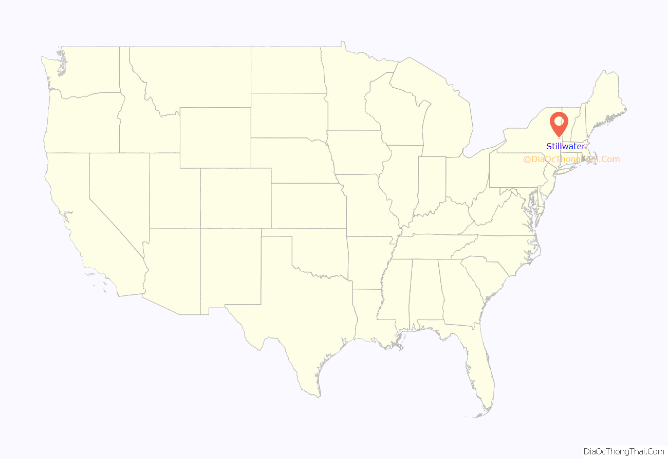
Stillwater location map. Where is Stillwater village?
History
Fort Ingoldsby was constructed in 1709, on the orders of Peter Schuyler, to protect the site of the future village. The village was incorporated in 1816. Stillwater is the current historical site of “The Blockhouse”, since it has been moved from Saratoga battle field. Stillwater has other sites, such as the Octagon house and the twin houses built in the late 19th century. Stillwater plays an important role in Caleb Carr’s period murder mystery The Angel of Darkness, published in 1997.
Stillwater Road Map
Stillwater city Satellite Map
Geography
Stillwater is located at 42°56′24″N 73°39′1″W / 42.94000°N 73.65028°W / 42.94000; -73.65028 (42.940172, -73.650437).
According to United States Census Bureau, the village has a total area of 1.4 square miles (3.7 km), of which 1.2 square miles (3.2 km) of it is land and 0.2 square mile (0.5 km) (13.29%) is water.
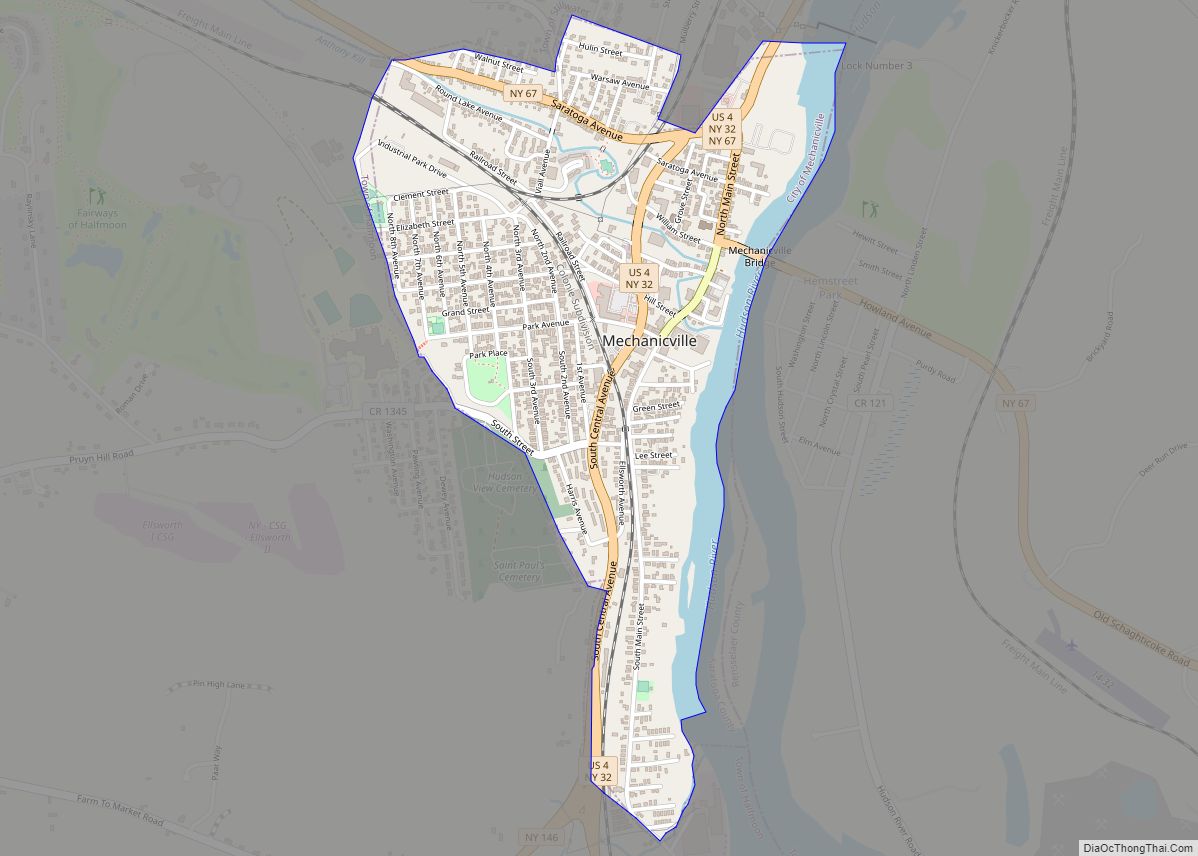
Stillwater is on the west side of the Hudson River. The Hudson River also serves as the county line of Rensselaer County. Schuyler Creek enters the Hudson River at the village. U.S. Route 4 passes through the village, conjoined with New York State Route 32 as Hudson Avenue. County Road 76, Lake Road, ends its county designation at the village line where it becomes Lake Street. Rensselaer County Road 125, Stillwater Bridge Road, terminates from the east at the county border.
See also
Map of New York State and its subdivision:- Albany
- Allegany
- Bronx
- Broome
- Cattaraugus
- Cayuga
- Chautauqua
- Chemung
- Chenango
- Clinton
- Columbia
- Cortland
- Delaware
- Dutchess
- Erie
- Essex
- Franklin
- Fulton
- Genesee
- Greene
- Hamilton
- Herkimer
- Jefferson
- Kings
- Lake Ontario
- Lewis
- Livingston
- Madison
- Monroe
- Montgomery
- Nassau
- New York
- Niagara
- Oneida
- Onondaga
- Ontario
- Orange
- Orleans
- Oswego
- Otsego
- Putnam
- Queens
- Rensselaer
- Richmond
- Rockland
- Saint Lawrence
- Saratoga
- Schenectady
- Schoharie
- Schuyler
- Seneca
- Steuben
- Suffolk
- Sullivan
- Tioga
- Tompkins
- Ulster
- Warren
- Washington
- Wayne
- Westchester
- Wyoming
- Yates
- Alabama
- Alaska
- Arizona
- Arkansas
- California
- Colorado
- Connecticut
- Delaware
- District of Columbia
- Florida
- Georgia
- Hawaii
- Idaho
- Illinois
- Indiana
- Iowa
- Kansas
- Kentucky
- Louisiana
- Maine
- Maryland
- Massachusetts
- Michigan
- Minnesota
- Mississippi
- Missouri
- Montana
- Nebraska
- Nevada
- New Hampshire
- New Jersey
- New Mexico
- New York
- North Carolina
- North Dakota
- Ohio
- Oklahoma
- Oregon
- Pennsylvania
- Rhode Island
- South Carolina
- South Dakota
- Tennessee
- Texas
- Utah
- Vermont
- Virginia
- Washington
- West Virginia
- Wisconsin
- Wyoming
