Sunset Bay is a hamlet and census-designated place (CDP) in the town of Hanover in Chautauqua County, New York, United States. The population was 660 at the 2010 census.
Sunset Bay is adjacent to the Cattaraugus Indian Reservation. On the reservation, adjacent to Sunset Bay, was previously home to a community of approximately 80 non-native residents who leased vacation homes. The Seneca Nation in 2012 declared the longstanding presence of the non-native residents an “illegal occupation” and drove them out of Sunset Bay.
| Name: | Sunset Bay CDP |
|---|---|
| LSAD Code: | 57 |
| LSAD Description: | CDP (suffix) |
| State: | New York |
| County: | Chautauqua County |
| Elevation: | 580 ft (180 m) |
| Total Area: | 0.71 sq mi (1.83 km²) |
| Land Area: | 0.66 sq mi (1.72 km²) |
| Water Area: | 0.04 sq mi (0.11 km²) |
| Total Population: | 470 |
| Population Density: | 708.90/sq mi (273.60/km²) |
| Area code: | 716 |
| FIPS code: | 3672246 |
| GNISfeature ID: | 0966831 |
Online Interactive Map
Click on ![]() to view map in "full screen" mode.
to view map in "full screen" mode.
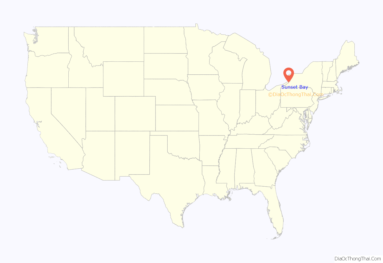
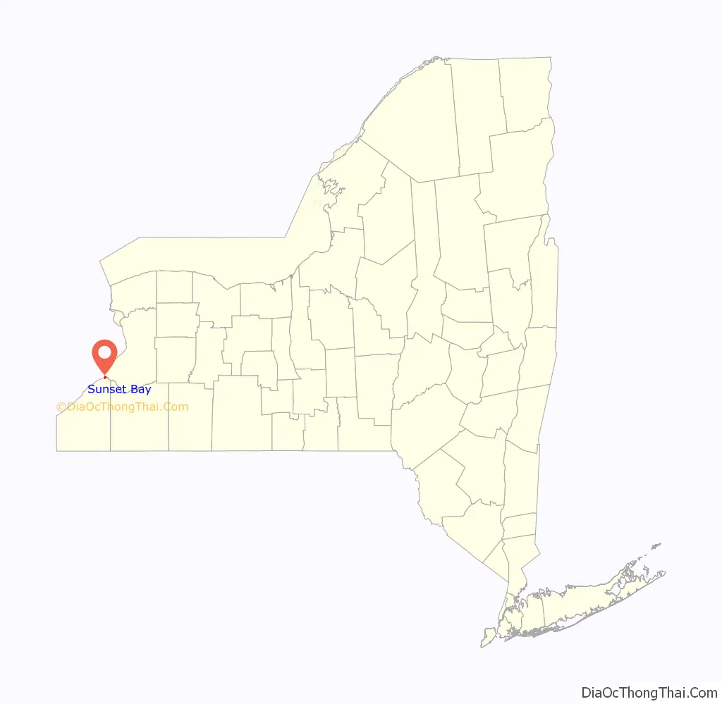
Sunset Bay location map. Where is Sunset Bay CDP?
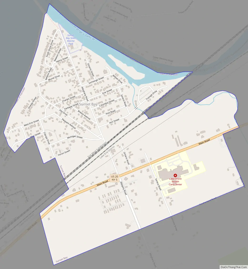
Sunset Bay Road Map
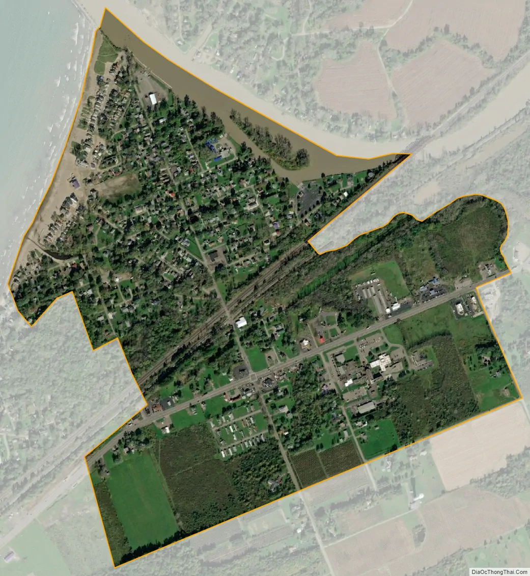
Sunset Bay city Satellite Map
Geography
Sunset Bay is located on the shore of Lake Erie in the northernmost point of the town of Hanover and of Chautauqua County. It is bordered on the northeast by Cattaraugus Creek, which enters Lake Erie just north of an embayment called Sunset Bay. U.S. Route 20 and New York State Route 5 pass through the community as Main Road. Just east of the community is a short connector road from US 20/NY 5 to Exit 58 on the New York State Thruway (Interstate 90). The city of Dunkirk is 12 miles (19 km) to the southwest of Sunset Bay, and Buffalo is 29 miles (47 km) to the northeast.
The nature of Cattaraugus Creek and its volatility leaves the hamlet prone to frequent flooding, especially in the spring.
According to the United States Census Bureau, Sunset Bay has a total area of 0.69 square miles (1.8 km), of which 0.66 square miles (1.7 km) is land and 0.04 square miles (0.1 km), or 6.27%, is water.
See also
Map of New York State and its subdivision:- Albany
- Allegany
- Bronx
- Broome
- Cattaraugus
- Cayuga
- Chautauqua
- Chemung
- Chenango
- Clinton
- Columbia
- Cortland
- Delaware
- Dutchess
- Erie
- Essex
- Franklin
- Fulton
- Genesee
- Greene
- Hamilton
- Herkimer
- Jefferson
- Kings
- Lake Ontario
- Lewis
- Livingston
- Madison
- Monroe
- Montgomery
- Nassau
- New York
- Niagara
- Oneida
- Onondaga
- Ontario
- Orange
- Orleans
- Oswego
- Otsego
- Putnam
- Queens
- Rensselaer
- Richmond
- Rockland
- Saint Lawrence
- Saratoga
- Schenectady
- Schoharie
- Schuyler
- Seneca
- Steuben
- Suffolk
- Sullivan
- Tioga
- Tompkins
- Ulster
- Warren
- Washington
- Wayne
- Westchester
- Wyoming
- Yates
- Alabama
- Alaska
- Arizona
- Arkansas
- California
- Colorado
- Connecticut
- Delaware
- District of Columbia
- Florida
- Georgia
- Hawaii
- Idaho
- Illinois
- Indiana
- Iowa
- Kansas
- Kentucky
- Louisiana
- Maine
- Maryland
- Massachusetts
- Michigan
- Minnesota
- Mississippi
- Missouri
- Montana
- Nebraska
- Nevada
- New Hampshire
- New Jersey
- New Mexico
- New York
- North Carolina
- North Dakota
- Ohio
- Oklahoma
- Oregon
- Pennsylvania
- Rhode Island
- South Carolina
- South Dakota
- Tennessee
- Texas
- Utah
- Vermont
- Virginia
- Washington
- West Virginia
- Wisconsin
- Wyoming