Three Mile Bay is a hamlet and census-designated place (CDP) in the town of Lyme in Jefferson County, New York, United States. The elevation is 259 feet (79 m). As of the 2010 census it had a population of 227.
The hamlet has its own post office, a volunteer fire company, and boat launches for fishing and recreation in the various outlying bays that draw from Lake Ontario and the St. Lawrence seaway.
| Name: | Three Mile Bay CDP |
|---|---|
| LSAD Code: | 57 |
| LSAD Description: | CDP (suffix) |
| State: | New York |
| County: | Jefferson County |
| Elevation: | 259 ft (79 m) |
| Total Area: | 0.30 sq mi (0.77 km²) |
| Land Area: | 0.28 sq mi (0.73 km²) |
| Water Area: | 0.01 sq mi (0.03 km²) |
| Total Population: | 187 |
| Population Density: | 660.78/sq mi (255.23/km²) |
| ZIP code: | 13693 |
| Area code: | 315 |
| FIPS code: | 3673737 |
| GNISfeature ID: | 967455 |
Online Interactive Map
Click on ![]() to view map in "full screen" mode.
to view map in "full screen" mode.
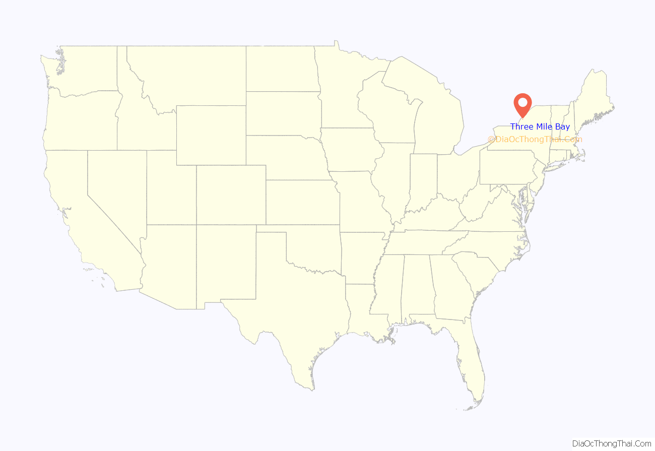
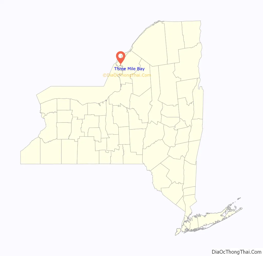
Three Mile Bay location map. Where is Three Mile Bay CDP?
History
The community was settled between 1810 and 1820. Early resident Asa Wilcox built 48 brigs, propellers, schooners, and other seafaring vessels from 1835 to 1853. Some of these vessels, like the A.E. Vickery, ultimately joined the more than 500 shipwrecked vessels now resting at the bottom of the St. Lawrence River and Lake Ontario.
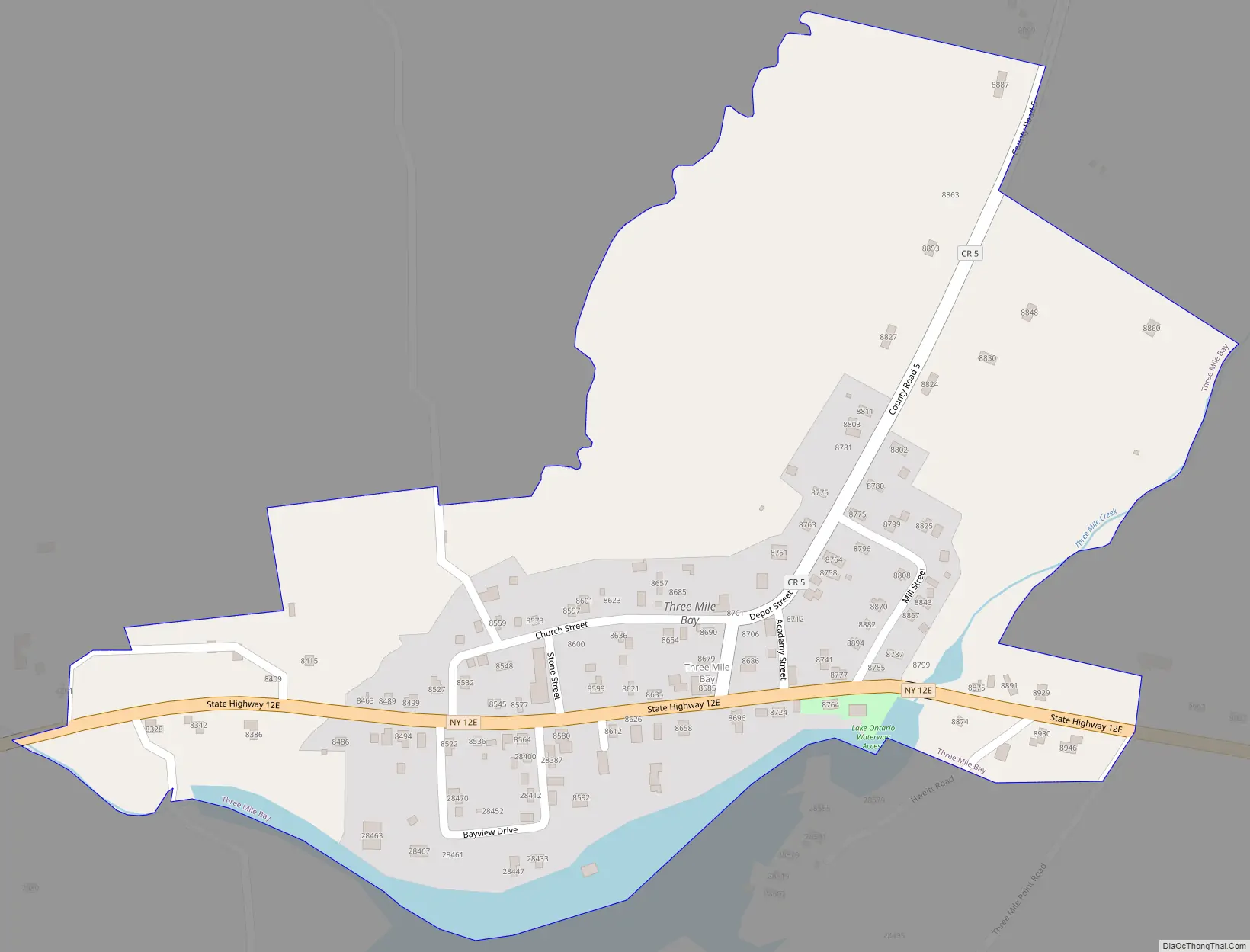
Three Mile Bay Road Map
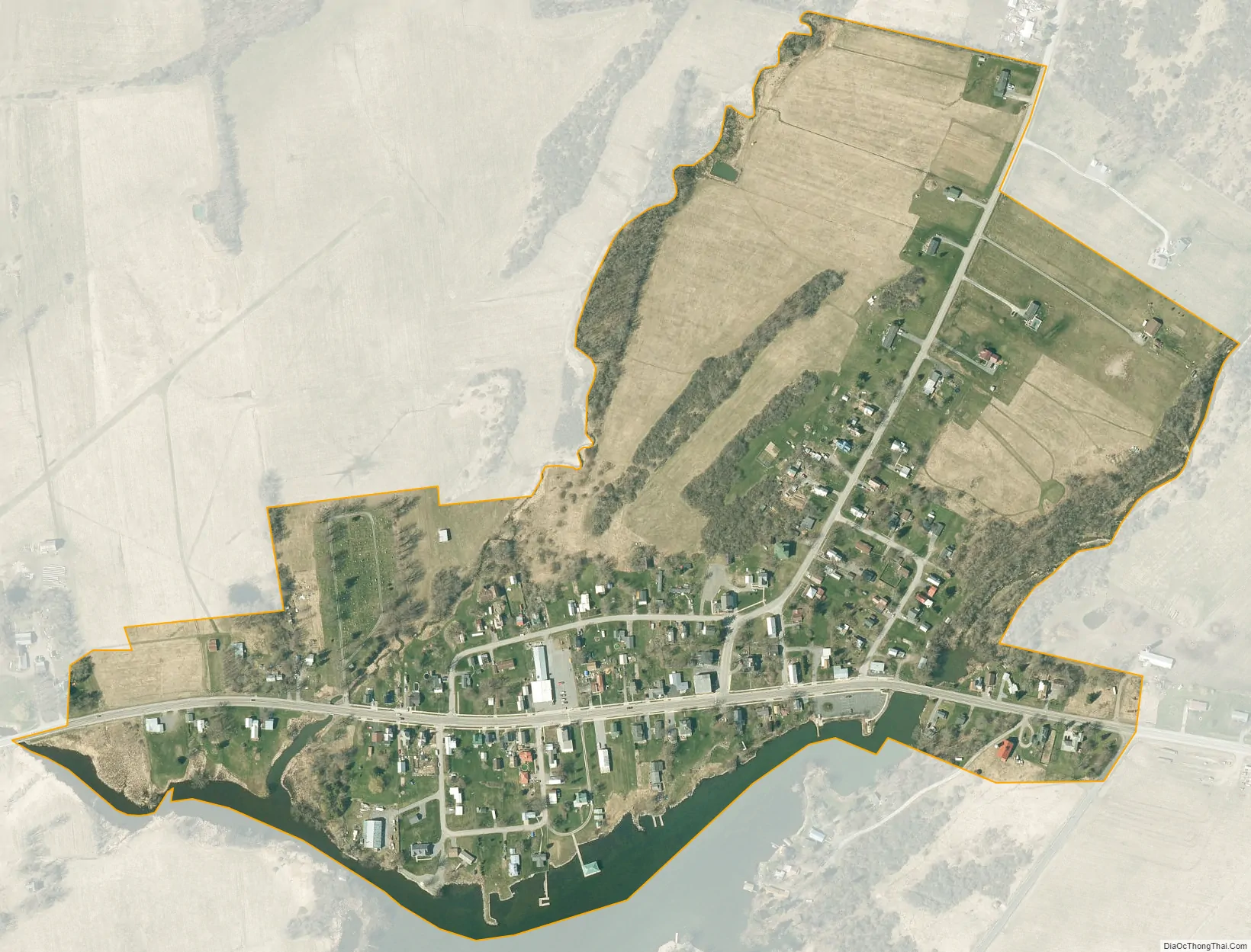
Three Mile Bay city Satellite Map
Geography
Three Mile Bay is in western Jefferson County, at the head of a bay of the same name, an inlet to Chaumont Bay of Lake Ontario. The community is in the western part of the town of Lyme along New York State Route 12E, which leads northwest 8 miles (13 km) to Cape Vincent on the St. Lawrence River and southeast 17 miles (27 km) to Watertown, the Jefferson county seat.
According to the U.S. Census Bureau, the Three Mile Bay CDP has an area of 0.26 square miles (0.67 km), all land.
See also
Map of New York State and its subdivision:- Albany
- Allegany
- Bronx
- Broome
- Cattaraugus
- Cayuga
- Chautauqua
- Chemung
- Chenango
- Clinton
- Columbia
- Cortland
- Delaware
- Dutchess
- Erie
- Essex
- Franklin
- Fulton
- Genesee
- Greene
- Hamilton
- Herkimer
- Jefferson
- Kings
- Lake Ontario
- Lewis
- Livingston
- Madison
- Monroe
- Montgomery
- Nassau
- New York
- Niagara
- Oneida
- Onondaga
- Ontario
- Orange
- Orleans
- Oswego
- Otsego
- Putnam
- Queens
- Rensselaer
- Richmond
- Rockland
- Saint Lawrence
- Saratoga
- Schenectady
- Schoharie
- Schuyler
- Seneca
- Steuben
- Suffolk
- Sullivan
- Tioga
- Tompkins
- Ulster
- Warren
- Washington
- Wayne
- Westchester
- Wyoming
- Yates
- Alabama
- Alaska
- Arizona
- Arkansas
- California
- Colorado
- Connecticut
- Delaware
- District of Columbia
- Florida
- Georgia
- Hawaii
- Idaho
- Illinois
- Indiana
- Iowa
- Kansas
- Kentucky
- Louisiana
- Maine
- Maryland
- Massachusetts
- Michigan
- Minnesota
- Mississippi
- Missouri
- Montana
- Nebraska
- Nevada
- New Hampshire
- New Jersey
- New Mexico
- New York
- North Carolina
- North Dakota
- Ohio
- Oklahoma
- Oregon
- Pennsylvania
- Rhode Island
- South Carolina
- South Dakota
- Tennessee
- Texas
- Utah
- Vermont
- Virginia
- Washington
- West Virginia
- Wisconsin
- Wyoming


