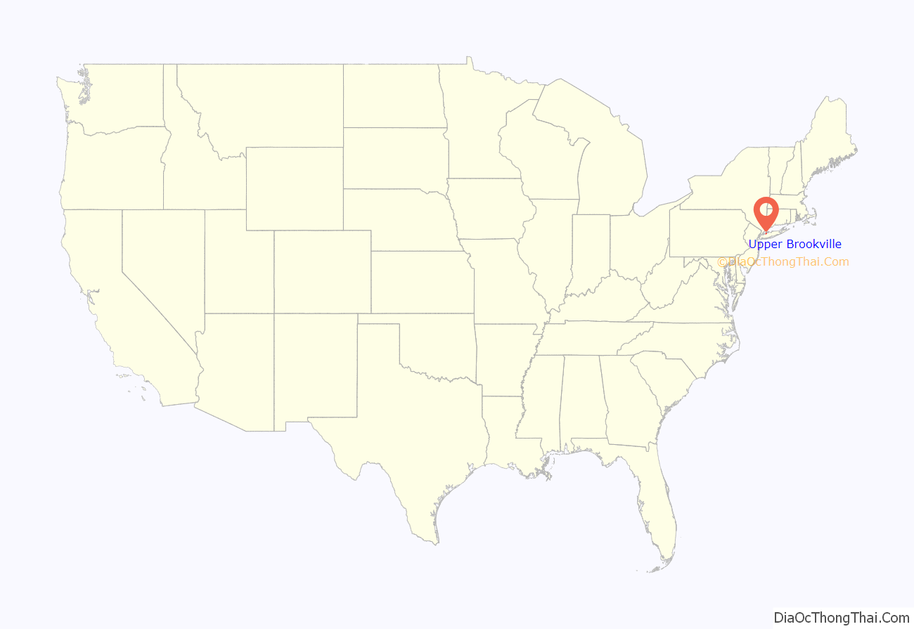
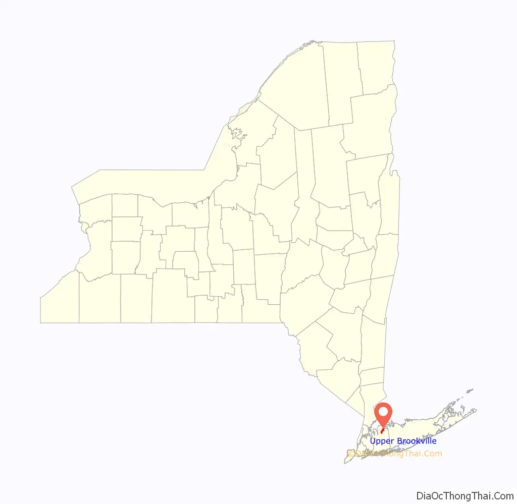
Upper Brookville is a village located within the Town of Oyster Bay in Nassau County, on the North Shore of Long Island, in New York, United States. The population was 1,698 at the 2010 census. It is considered part of the greater Glen Cove area, which is anchored by the City of Glen Cove.
| Name: | Upper Brookville village |
|---|---|
| LSAD Code: | 47 |
| LSAD Description: | village (suffix) |
| State: | New York |
| County: | Nassau County |
| Incorporated: | 1932 |
| Elevation: | 157 ft (48 m) |
| Total Area: | 4.30 sq mi (11.13 km²) |
| Land Area: | 4.30 sq mi (11.13 km²) |
| Water Area: | 0.00 sq mi (0.00 km²) |
| Total Population: | 1,786 |
| Population Density: | 415.45/sq mi (160.42/km²) |
| ZIP code: | 11545, 11732, 11771 |
| Area code: | 516 |
| FIPS code: | 3676331 |
| GNISfeature ID: | 0968262 |
| Website: | www.upperbrookville.org |
Online Interactive Map
Click on ![]() to view map in "full screen" mode.
to view map in "full screen" mode.
Upper Brookville location map. Where is Upper Brookville village?
History
The village is named for the brook which once ran along its main road, Wolver Hollow. Although the village is physically lower than the surrounding areas, resident Hope Goddard Iselin opposed the name of Lower Brookville, stating “I refuse to live in lower anything. If you must call it something, and I suppose you must, call it Upper Brookville.” Subsequently, Upper Brookville became its name.
Upper Brookville incorporated as a village in 1932.
Upper Brookville Road Map

Upper Brookville city Satellite Map

Geography
According to the United States Census Bureau, the village has a total area of 4.3 square miles (11 km), all land.
See also
Map of New York State and its subdivision:- Albany
- Allegany
- Bronx
- Broome
- Cattaraugus
- Cayuga
- Chautauqua
- Chemung
- Chenango
- Clinton
- Columbia
- Cortland
- Delaware
- Dutchess
- Erie
- Essex
- Franklin
- Fulton
- Genesee
- Greene
- Hamilton
- Herkimer
- Jefferson
- Kings
- Lake Ontario
- Lewis
- Livingston
- Madison
- Monroe
- Montgomery
- Nassau
- New York
- Niagara
- Oneida
- Onondaga
- Ontario
- Orange
- Orleans
- Oswego
- Otsego
- Putnam
- Queens
- Rensselaer
- Richmond
- Rockland
- Saint Lawrence
- Saratoga
- Schenectady
- Schoharie
- Schuyler
- Seneca
- Steuben
- Suffolk
- Sullivan
- Tioga
- Tompkins
- Ulster
- Warren
- Washington
- Wayne
- Westchester
- Wyoming
- Yates
- Alabama
- Alaska
- Arizona
- Arkansas
- California
- Colorado
- Connecticut
- Delaware
- District of Columbia
- Florida
- Georgia
- Hawaii
- Idaho
- Illinois
- Indiana
- Iowa
- Kansas
- Kentucky
- Louisiana
- Maine
- Maryland
- Massachusetts
- Michigan
- Minnesota
- Mississippi
- Missouri
- Montana
- Nebraska
- Nevada
- New Hampshire
- New Jersey
- New Mexico
- New York
- North Carolina
- North Dakota
- Ohio
- Oklahoma
- Oregon
- Pennsylvania
- Rhode Island
- South Carolina
- South Dakota
- Tennessee
- Texas
- Utah
- Vermont
- Virginia
- Washington
- West Virginia
- Wisconsin
- Wyoming


