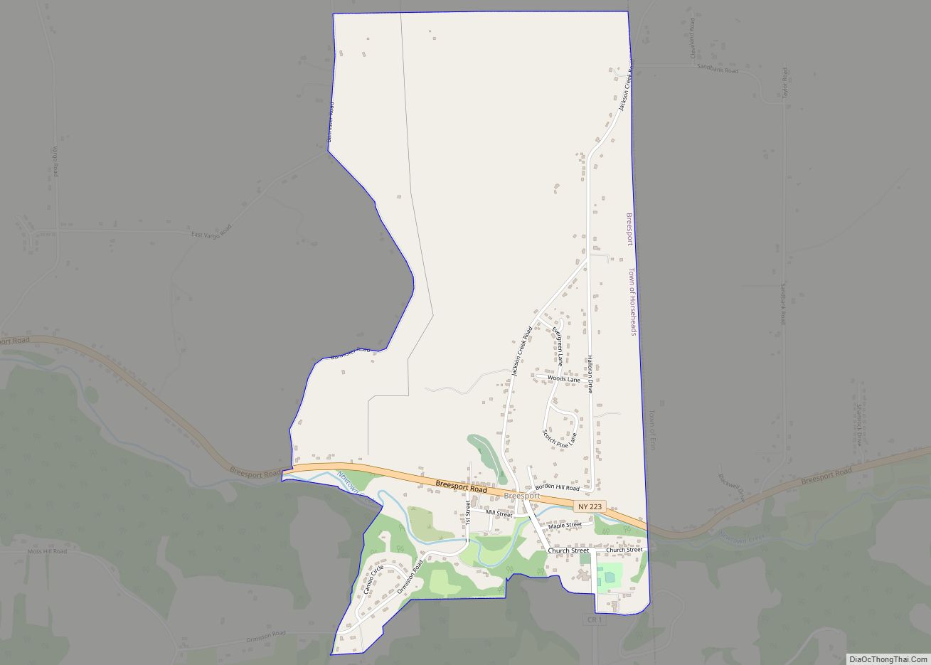
Van Etten is a hamlet and census-designated place in Chemung County, New York, United States. It was a village that was absorbed by the Town of Van Etten on December 31, 2018. The population was 537 at the 2010 census. The name came from the two brothers who founded the village.
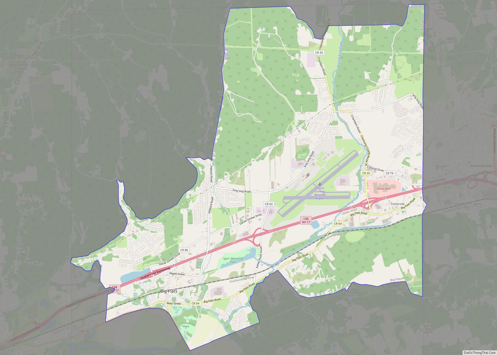
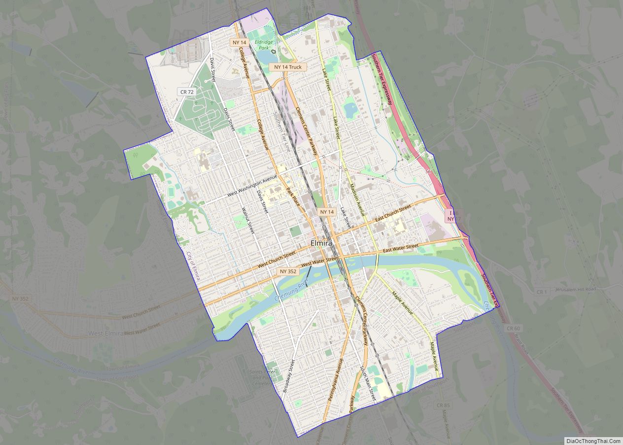
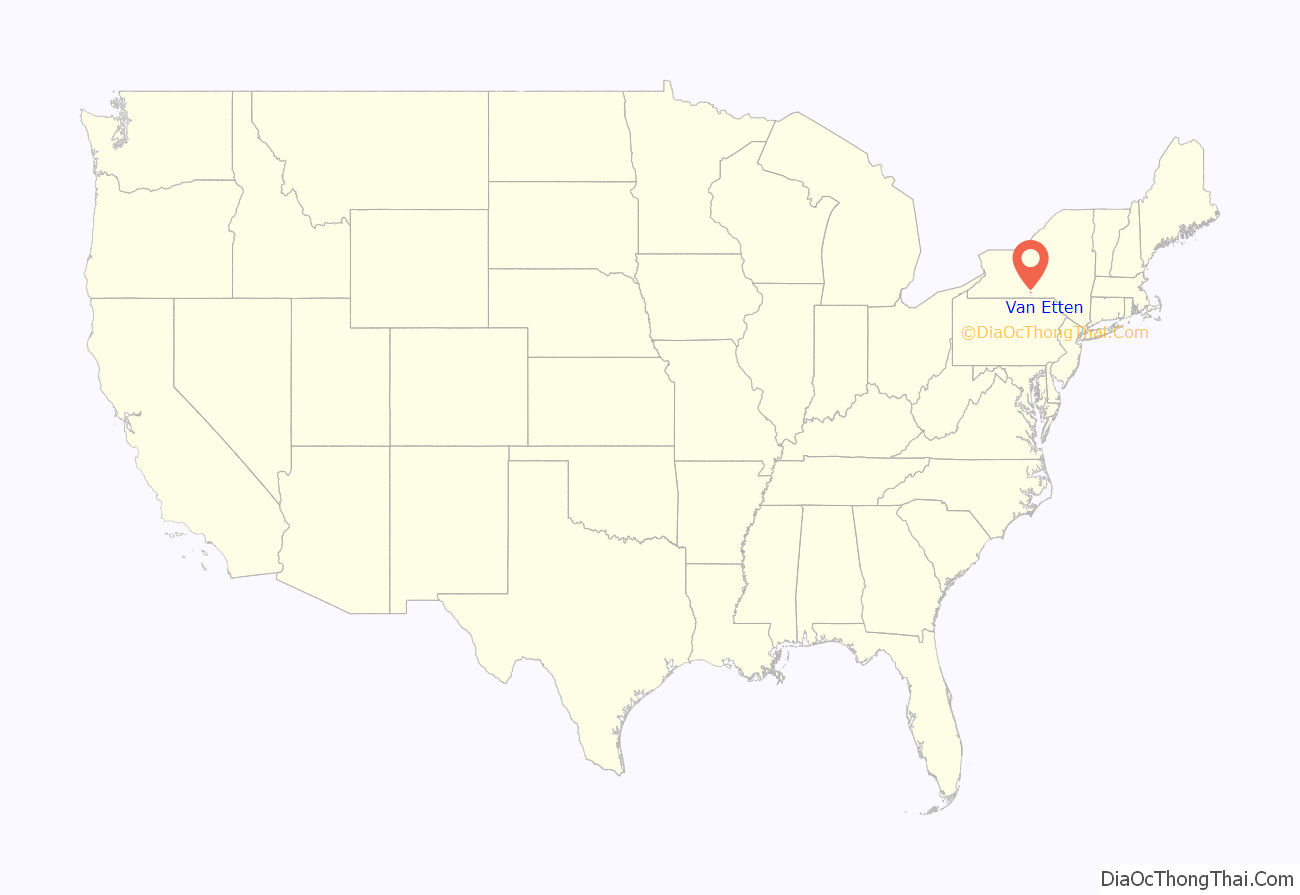
The village of Van Etten was in the town of Van Etten near its eastern town line. The village was northeast of Elmira and was part of the Elmira Metropolitan Statistical Area.
| Name: | Van Etten village |
|---|---|
| LSAD Code: | 47 |
| LSAD Description: | village (suffix) |
| State: | New York |
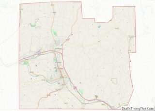
| County: | Chemung County |
| Elevation: | 1,017 ft (310 m) |
| Total Area: | 1.28 sq mi (3.32 km²) |
| Land Area: | 1.28 sq mi (3.31 km²) |
| Water Area: | 0.00 sq mi (0.00 km²) |
| Total Population: | 601 |
| Population Density: | 469.90/sq mi (181.39/km²) |
| ZIP code: | 14889 |
| Area code: | 607 |
| FIPS code: | 3676881 |
| GNISfeature ID: | 0968412 |
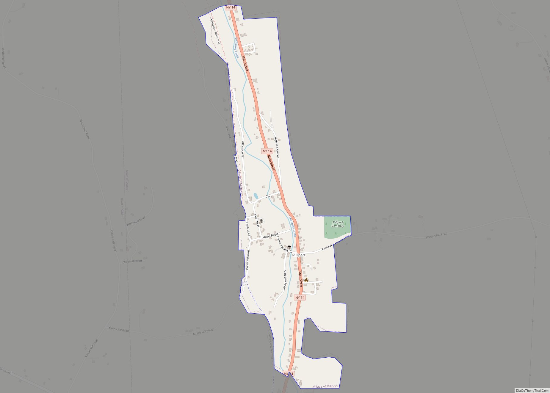
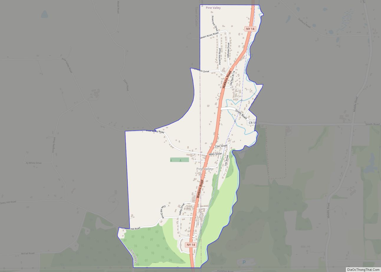
Online Interactive Map
Click on ![]() to view map in "full screen" mode.
to view map in "full screen" mode.
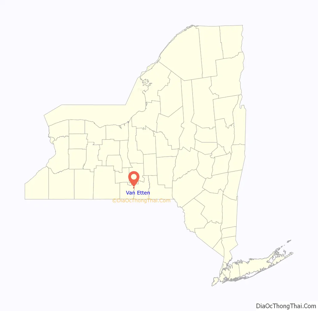
Van Etten location map. Where is Van Etten village?
History
The village was founded around 1798 by James and Joshua Van Etten. Previously called “Halls Corners”, at first the community was called “Van Ettenville”, but was incorporated in 1876 as “Van Etten”. The first railroad line arrived in 1871.
In 2017, the village of Van Etten voted to dissolve and rejoin the Town of Van Etten. As of the 2019 American Community Survey, the U.S. Census Bureau still lists Van Etten as a village.
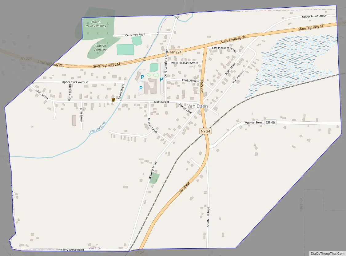
Van Etten Road Map
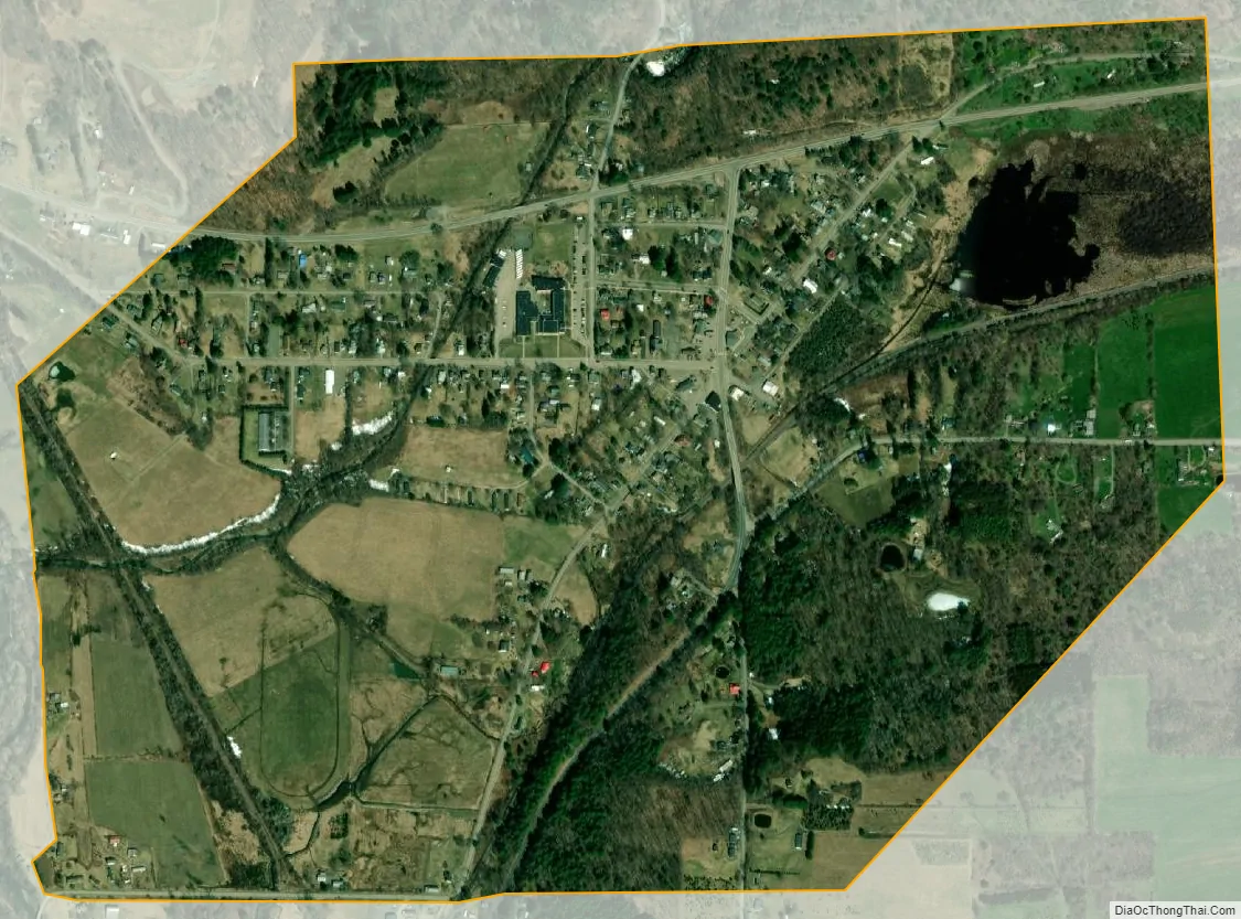
Van Etten city Satellite Map
Geography
Van Etten was located in northeastern Chemung County at 42°11′53″N 76°33′15″W / 42.19806°N 76.55417°W / 42.19806; -76.55417 (42.19831, -76.554336).
According to the United States Census Bureau, the former village had a total area of 0.87 square miles (2.25 km), all land.
New York State Route 34 intersects New York State Route 224 in the former village.
See also
Map of New York State and its subdivision:- Albany
- Allegany
- Bronx
- Broome
- Cattaraugus
- Cayuga
- Chautauqua
- Chemung
- Chenango
- Clinton
- Columbia
- Cortland
- Delaware
- Dutchess
- Erie
- Essex
- Franklin
- Fulton
- Genesee
- Greene
- Hamilton
- Herkimer
- Jefferson
- Kings
- Lake Ontario
- Lewis
- Livingston
- Madison
- Monroe
- Montgomery
- Nassau
- New York
- Niagara
- Oneida
- Onondaga
- Ontario
- Orange
- Orleans
- Oswego
- Otsego
- Putnam
- Queens
- Rensselaer
- Richmond
- Rockland
- Saint Lawrence
- Saratoga
- Schenectady
- Schoharie
- Schuyler
- Seneca
- Steuben
- Suffolk
- Sullivan
- Tioga
- Tompkins
- Ulster
- Warren
- Washington
- Wayne
- Westchester
- Wyoming
- Yates
- Alabama
- Alaska
- Arizona
- Arkansas
- California
- Colorado
- Connecticut
- Delaware
- District of Columbia
- Florida
- Georgia
- Hawaii
- Idaho
- Illinois
- Indiana
- Iowa
- Kansas
- Kentucky
- Louisiana
- Maine
- Maryland
- Massachusetts
- Michigan
- Minnesota
- Mississippi
- Missouri
- Montana
- Nebraska
- Nevada
- New Hampshire
- New Jersey
- New Mexico
- New York
- North Carolina
- North Dakota
- Ohio
- Oklahoma
- Oregon
- Pennsylvania
- Rhode Island
- South Carolina
- South Dakota
- Tennessee
- Texas
- Utah
- Vermont
- Virginia
- Washington
- West Virginia
- Wisconsin
- Wyoming