Walker Valley is a hamlet (and census-designated place) located in the western part of the Town of Shawangunk in Ulster County, New York, United States, generally thought of as coterminous with the 12588 ZIP code. The population was 1,269 at the 2020 census.
Walker Valley is one of the three geographic sections of the town that local residents use (The other two are Wallkill and Pine Bush). It is centered on NY 52 in the western part of town, where it begins to slope up to the Shawangunk Ridge.
| Name: | Walker Valley CDP |
|---|---|
| LSAD Code: | 57 |
| LSAD Description: | CDP (suffix) |
| State: | New York |
| County: | Ulster County |
| Elevation: | 663 ft (202 m) |
| Total Area: | 3.25 sq mi (8.41 km²) |
| Land Area: | 3.24 sq mi (8.39 km²) |
| Water Area: | 0.01 sq mi (0.03 km²) |
| Total Population: | 1,269 |
| Population Density: | 391.91/sq mi (151.33/km²) |
| ZIP code: | 12588 |
| Area code: | 845 |
| FIPS code: | 3677948 |
| GNISfeature ID: | 0973199 |
Online Interactive Map
Click on ![]() to view map in "full screen" mode.
to view map in "full screen" mode.
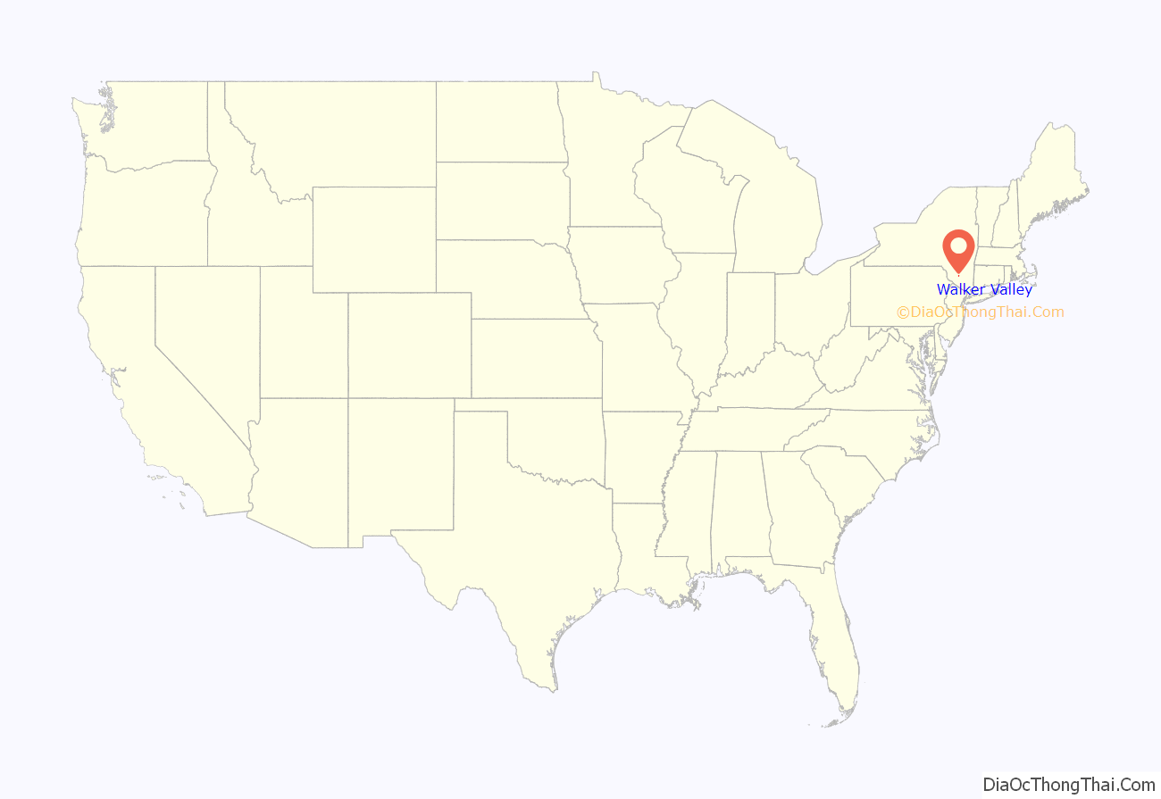
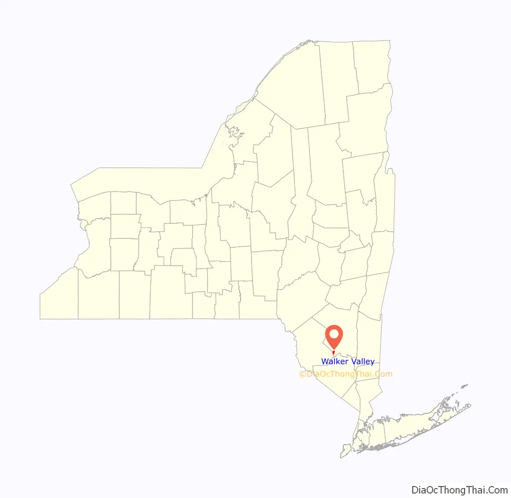
Walker Valley location map. Where is Walker Valley CDP?
History
The community was known as “Jamesburgh” until 1862. Since, it was renamed to as it is known now, Walker Valley.
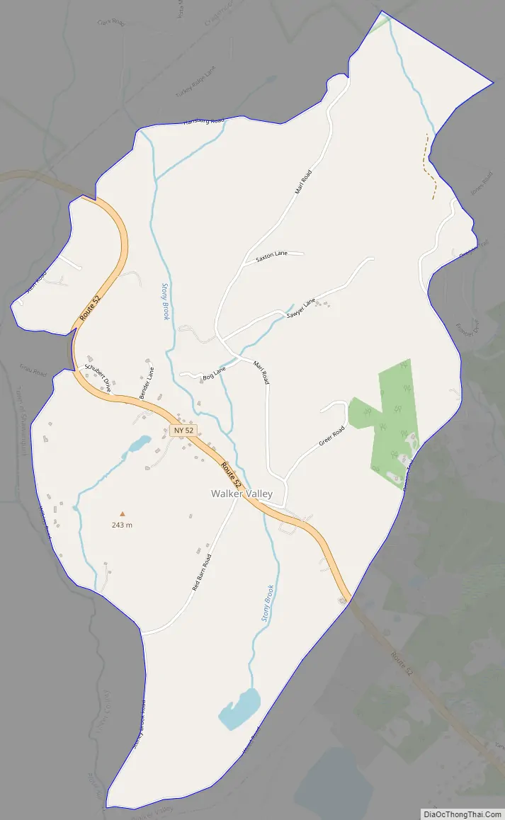
Walker Valley Road Map
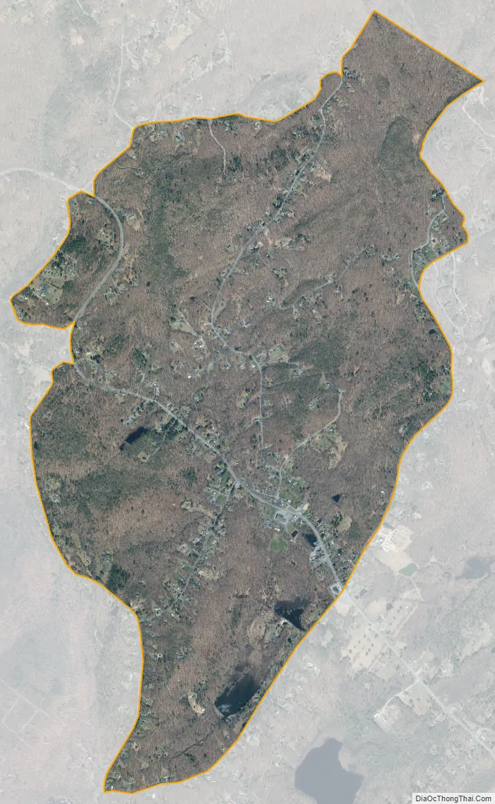
Walker Valley city Satellite Map
Geography
Walker Valley is located at 41°38′32″N 74°22′21″W / 41.64222°N 74.37250°W / 41.64222; -74.37250 (41.642235, -74.372619).
According to the United States Census Bureau, the CDP has a total area of 2.1 square miles (5.4 km), of which 2.1 square miles (5.4 km) is land and 0.48% is water.
Walker Valley is roughly where NY Route 52 begins to ascend the eastern slope of the Shawangunk Ridge. It is near the border of Sullivan County.
See also
Map of New York State and its subdivision:- Albany
- Allegany
- Bronx
- Broome
- Cattaraugus
- Cayuga
- Chautauqua
- Chemung
- Chenango
- Clinton
- Columbia
- Cortland
- Delaware
- Dutchess
- Erie
- Essex
- Franklin
- Fulton
- Genesee
- Greene
- Hamilton
- Herkimer
- Jefferson
- Kings
- Lake Ontario
- Lewis
- Livingston
- Madison
- Monroe
- Montgomery
- Nassau
- New York
- Niagara
- Oneida
- Onondaga
- Ontario
- Orange
- Orleans
- Oswego
- Otsego
- Putnam
- Queens
- Rensselaer
- Richmond
- Rockland
- Saint Lawrence
- Saratoga
- Schenectady
- Schoharie
- Schuyler
- Seneca
- Steuben
- Suffolk
- Sullivan
- Tioga
- Tompkins
- Ulster
- Warren
- Washington
- Wayne
- Westchester
- Wyoming
- Yates
- Alabama
- Alaska
- Arizona
- Arkansas
- California
- Colorado
- Connecticut
- Delaware
- District of Columbia
- Florida
- Georgia
- Hawaii
- Idaho
- Illinois
- Indiana
- Iowa
- Kansas
- Kentucky
- Louisiana
- Maine
- Maryland
- Massachusetts
- Michigan
- Minnesota
- Mississippi
- Missouri
- Montana
- Nebraska
- Nevada
- New Hampshire
- New Jersey
- New Mexico
- New York
- North Carolina
- North Dakota
- Ohio
- Oklahoma
- Oregon
- Pennsylvania
- Rhode Island
- South Carolina
- South Dakota
- Tennessee
- Texas
- Utah
- Vermont
- Virginia
- Washington
- West Virginia
- Wisconsin
- Wyoming


