Wellsburg is a village in Chemung County, New York, United States. The population was 580 at the 2010 census. The village is named after the pioneer family of Abner Wells (1737–1797) who came from Southold on Long Island.
Wellsburg is located in the southeast part of the town of Ashland. It is southeast of the city of Elmira and is part of the Elmira Metropolitan Statistical Area.
| Name: | Wellsburg village |
|---|---|
| LSAD Code: | 47 |
| LSAD Description: | village (suffix) |
| State: | New York |
| County: | Chemung County |
| Elevation: | 827 ft (252 m) |
| Total Area: | 0.58 sq mi (1.49 km²) |
| Land Area: | 0.57 sq mi (1.47 km²) |
| Water Area: | 0.01 sq mi (0.02 km²) |
| Total Population: | 490 |
| Population Density: | 862.68/sq mi (333.02/km²) |
| ZIP code: | 14894 |
| Area code: | 607 |
| FIPS code: | 3679081 |
| GNISfeature ID: | 0969051 |
| Website: | villageofwellsburg.com |
Online Interactive Map
Click on ![]() to view map in "full screen" mode.
to view map in "full screen" mode.
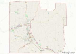
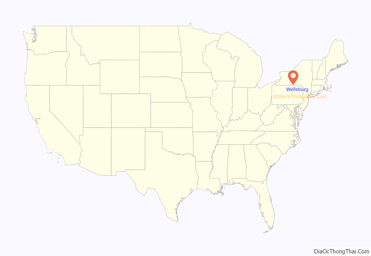
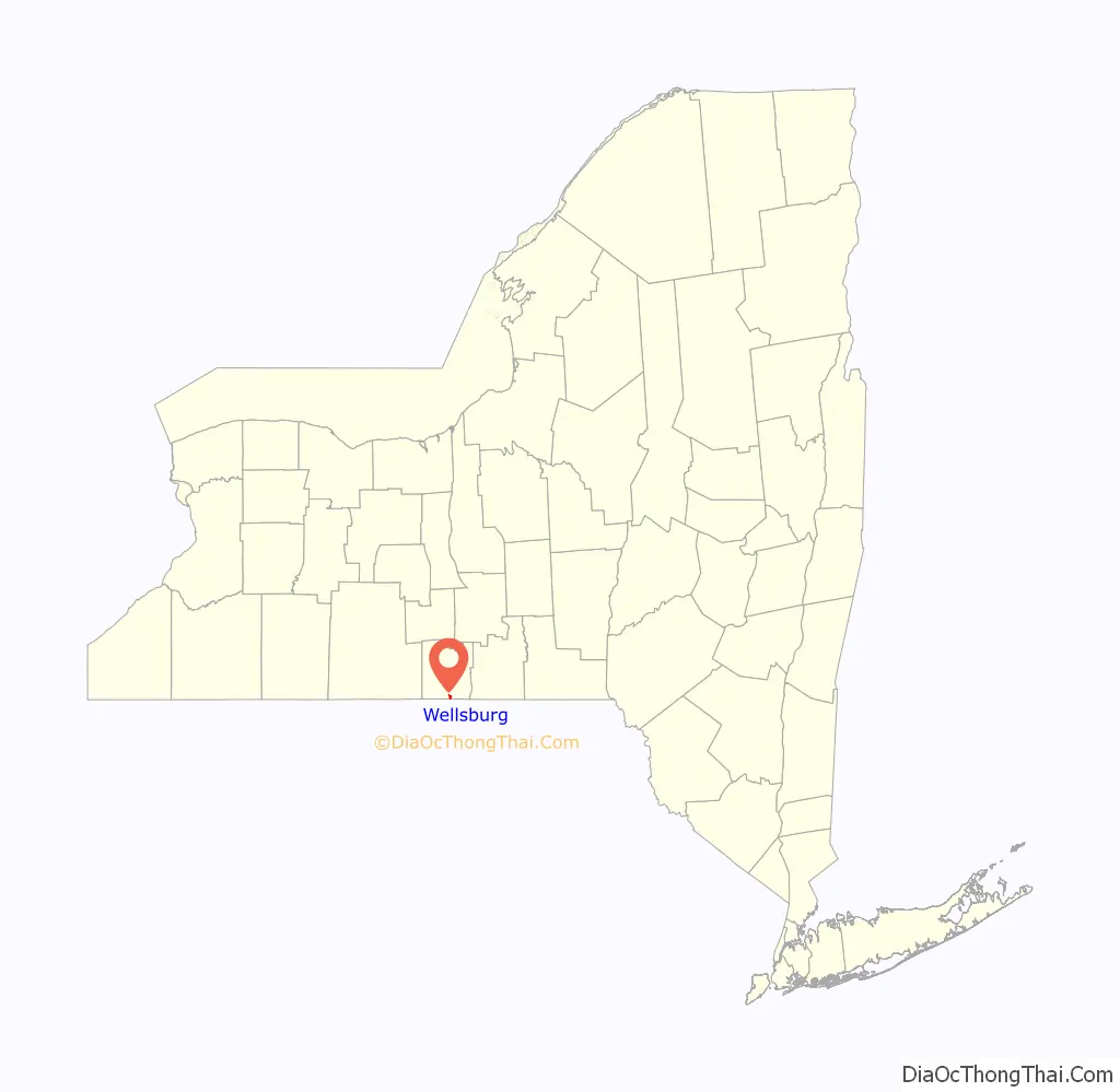
Wellsburg location map. Where is Wellsburg village?
History
The area was settled around 1788. The village was incorporated in 1872.
Christ Episcopal Church was listed on the National Register of Historic Places in 2000.
In the 1930s, there were also a Methodist and a Baptist church. Catholics attended services in a church about 18 miles (29 km) across the Pennsylvania border (Centerville or Bentley Creek). The village contained two bars, two grocery stores (Aber and Stanton), Dalton’s meat market, two gas stations, a “creamery”, an Erie Railroad depot, Dalton’s coal yard, a deteriorated Hotel Alcazar, a post office, and Schuyler’s Feed, Grain & Lumber Yard. A four-story school served grades 1–12, with a small playground and a ballfield. Some students were bussed in from surrounding areas. One day in 1939, an “autogyro” landed on that ballfield and remained a short time. Wellsburg had a mayor and a constable; the latter being rather “adept” at catching those who overturned outhouses during Halloween.
Occasionally the Chemung River would overflow, usually flooding the short road between Wellsburg and Lowman, but it once flooded Wellsburg to the extent that rowboats could enter the Methodist church. Local farmers hired kids to do farm chores, usually at $0.50 per-day. Youngsters driving tractors into town (for gas) were a familiar sight. During the WWII years, students aged 14 and up were allowed days off from school to help local farmers harvest their crops. There was also an “airplane spotter’s shack” on the side of a hill, during the war; teens often served as “spotters”.
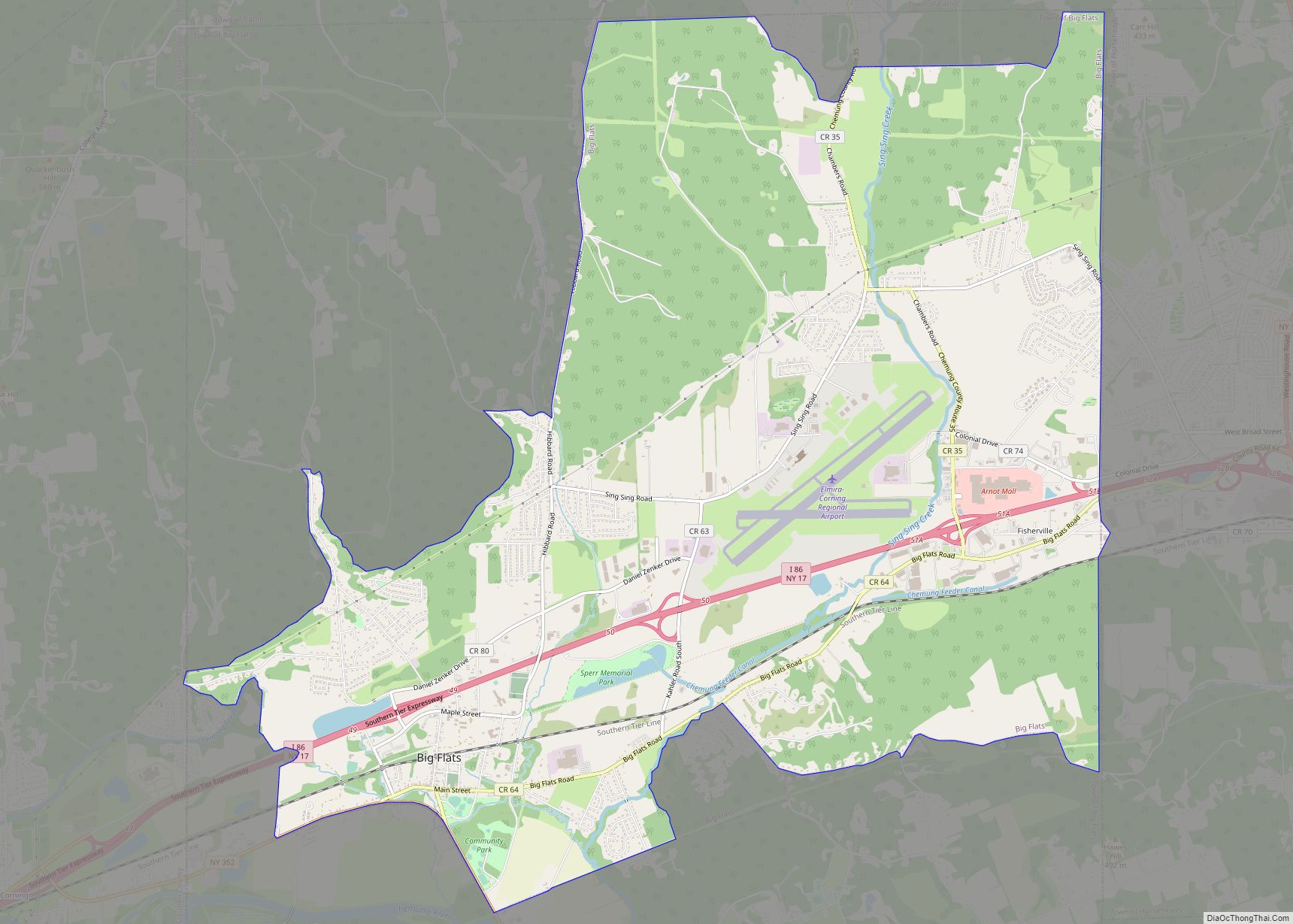
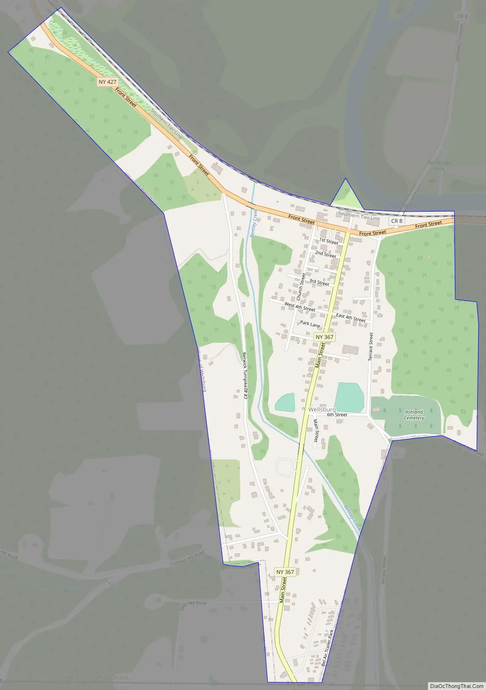
Wellsburg Road Map
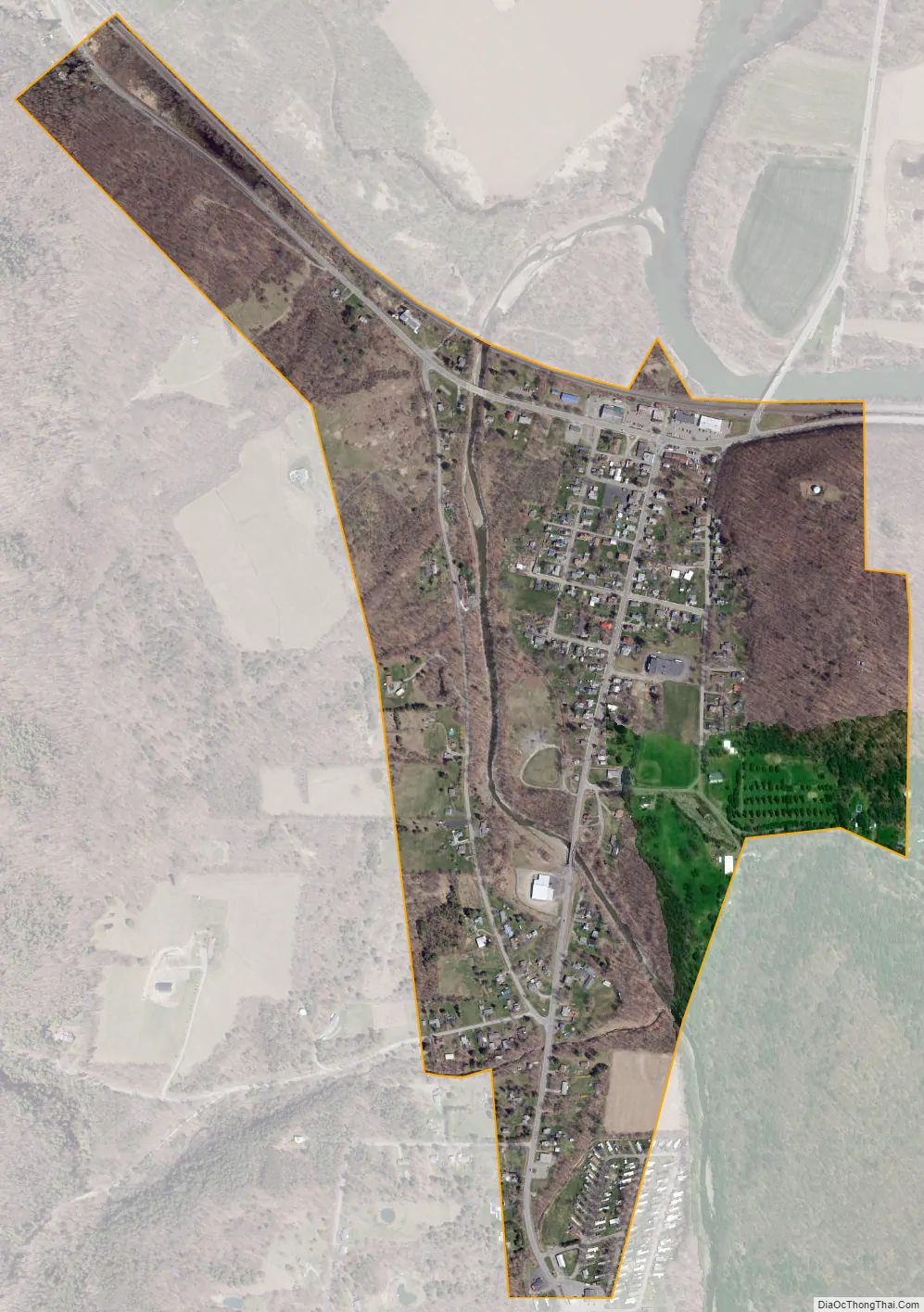
Wellsburg city Satellite Map
Geography
Wellsburg is located in southern Chemung County at 42°0′40″N 76°43′40″W / 42.01111°N 76.72778°W / 42.01111; -76.72778 (42.011211, -76.727753).
According to the United States Census Bureau, the village has a total area of 0.58 square miles (1.5 km), of which 0.008 square miles (0.02 km), or 1.52%, is water.
Wellsburg is on the south bank of the Chemung River, a tributary of the Susquehanna River, and is adjacent to the Pennsylvania border. Bentley Creek flows northward through the village to the Chemung River and was a power source to early pioneers.
NY-367 (Main Street) intersects NY-427 in the village. County Road 8 enters the village from the north.
See also
Map of New York State and its subdivision:- Albany
- Allegany
- Bronx
- Broome
- Cattaraugus
- Cayuga
- Chautauqua
- Chemung
- Chenango
- Clinton
- Columbia
- Cortland
- Delaware
- Dutchess
- Erie
- Essex
- Franklin
- Fulton
- Genesee
- Greene
- Hamilton
- Herkimer
- Jefferson
- Kings
- Lake Ontario
- Lewis
- Livingston
- Madison
- Monroe
- Montgomery
- Nassau
- New York
- Niagara
- Oneida
- Onondaga
- Ontario
- Orange
- Orleans
- Oswego
- Otsego
- Putnam
- Queens
- Rensselaer
- Richmond
- Rockland
- Saint Lawrence
- Saratoga
- Schenectady
- Schoharie
- Schuyler
- Seneca
- Steuben
- Suffolk
- Sullivan
- Tioga
- Tompkins
- Ulster
- Warren
- Washington
- Wayne
- Westchester
- Wyoming
- Yates
- Alabama
- Alaska
- Arizona
- Arkansas
- California
- Colorado
- Connecticut
- Delaware
- District of Columbia
- Florida
- Georgia
- Hawaii
- Idaho
- Illinois
- Indiana
- Iowa
- Kansas
- Kentucky
- Louisiana
- Maine
- Maryland
- Massachusetts
- Michigan
- Minnesota
- Mississippi
- Missouri
- Montana
- Nebraska
- Nevada
- New Hampshire
- New Jersey
- New Mexico
- New York
- North Carolina
- North Dakota
- Ohio
- Oklahoma
- Oregon
- Pennsylvania
- Rhode Island
- South Carolina
- South Dakota
- Tennessee
- Texas
- Utah
- Vermont
- Virginia
- Washington
- West Virginia
- Wisconsin
- Wyoming