West Hills is a hamlet and census-designated place (CDP) in the Town of Huntington, Suffolk County, New York. The population was 5,592 at the 2010 census. Residents share a post office with the hamlet of Huntington but much earlier in its history, West Hills had its own post office, located on Jericho Turnpike (formerly Middle Post Road). Also, it is adjacent to the hamlet of Woodbury.
| Name: | West Hills CDP |
|---|---|
| LSAD Code: | 57 |
| LSAD Description: | CDP (suffix) |
| State: | New York |
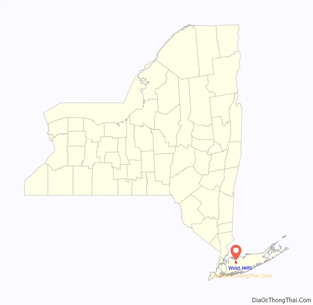
| County: | Suffolk County |
| Elevation: | 348 ft (106 m) |
| Total Area: | 4.91 sq mi (12.71 km²) |
| Land Area: | 4.91 sq mi (12.71 km²) |
| Water Area: | 0.00 sq mi (0.00 km²) |
| Total Population: | 5,385 |
| Population Density: | 1,097.41/sq mi (423.72/km²) |
| ZIP code: | 11746 |
| Area code: | 631 |
| FIPS code: | 3680258 |
| GNISfeature ID: | 1802955 |
Online Interactive Map
Click on ![]() to view map in "full screen" mode.
to view map in "full screen" mode.
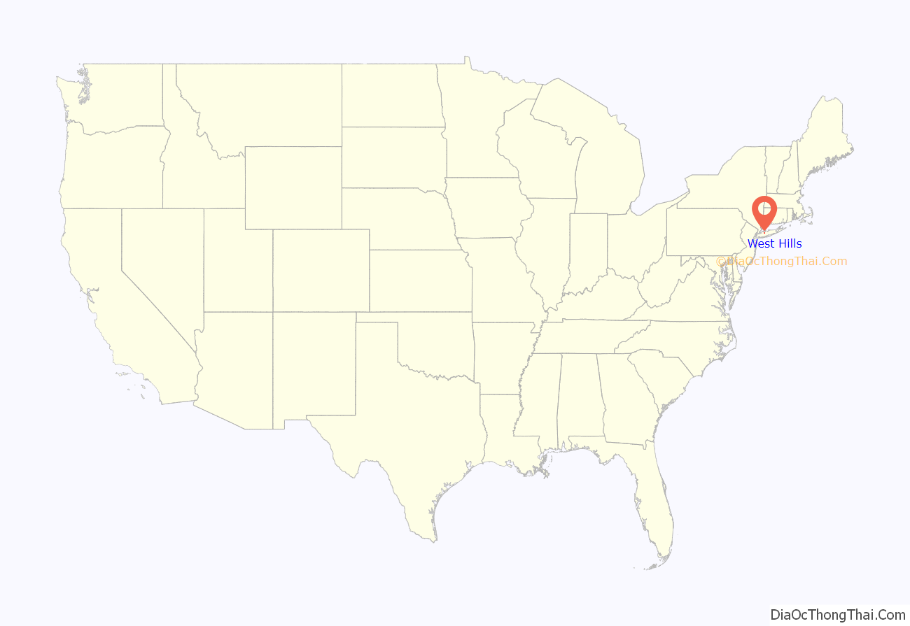
West Hills location map. Where is West Hills CDP?
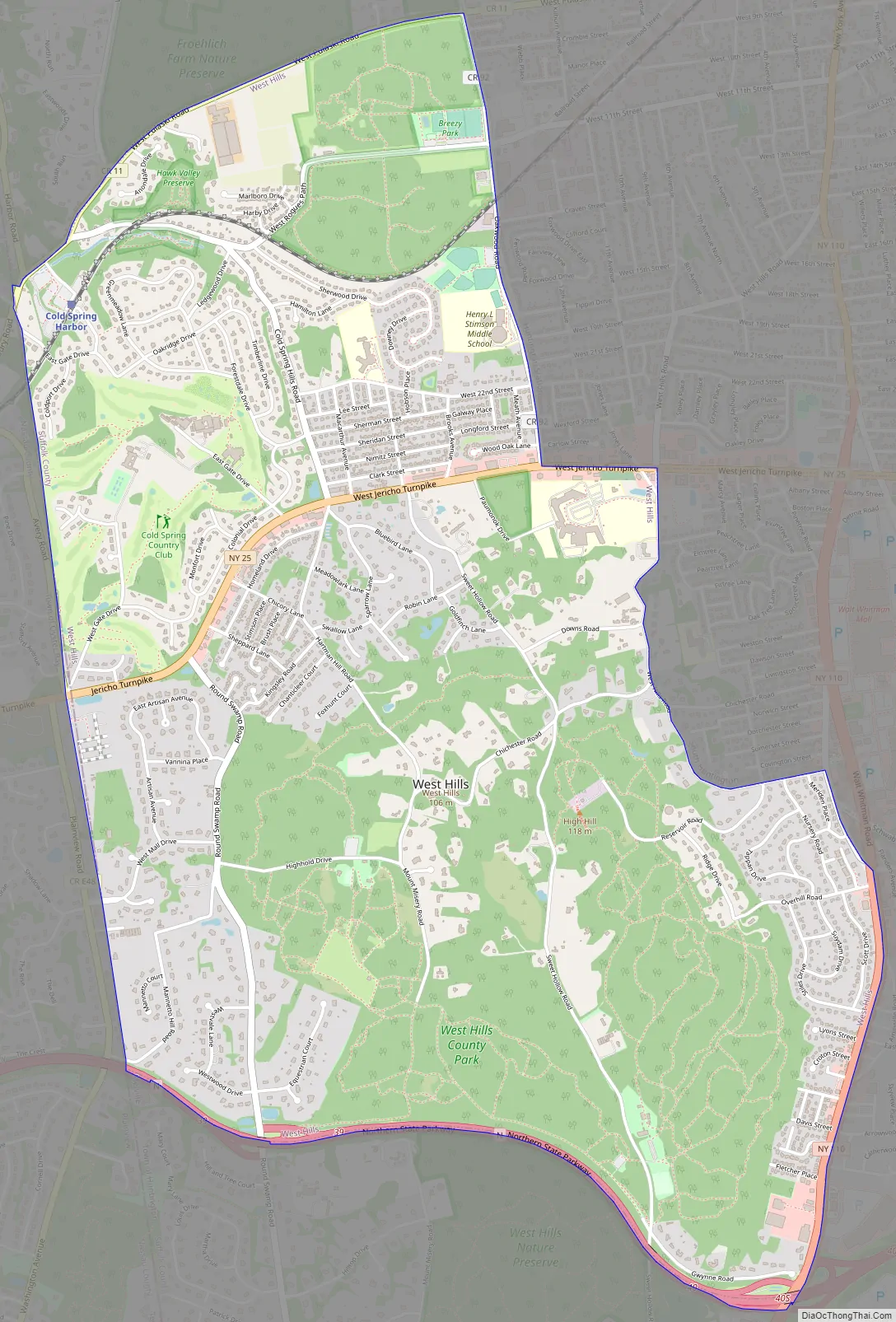
West Hills Road Map
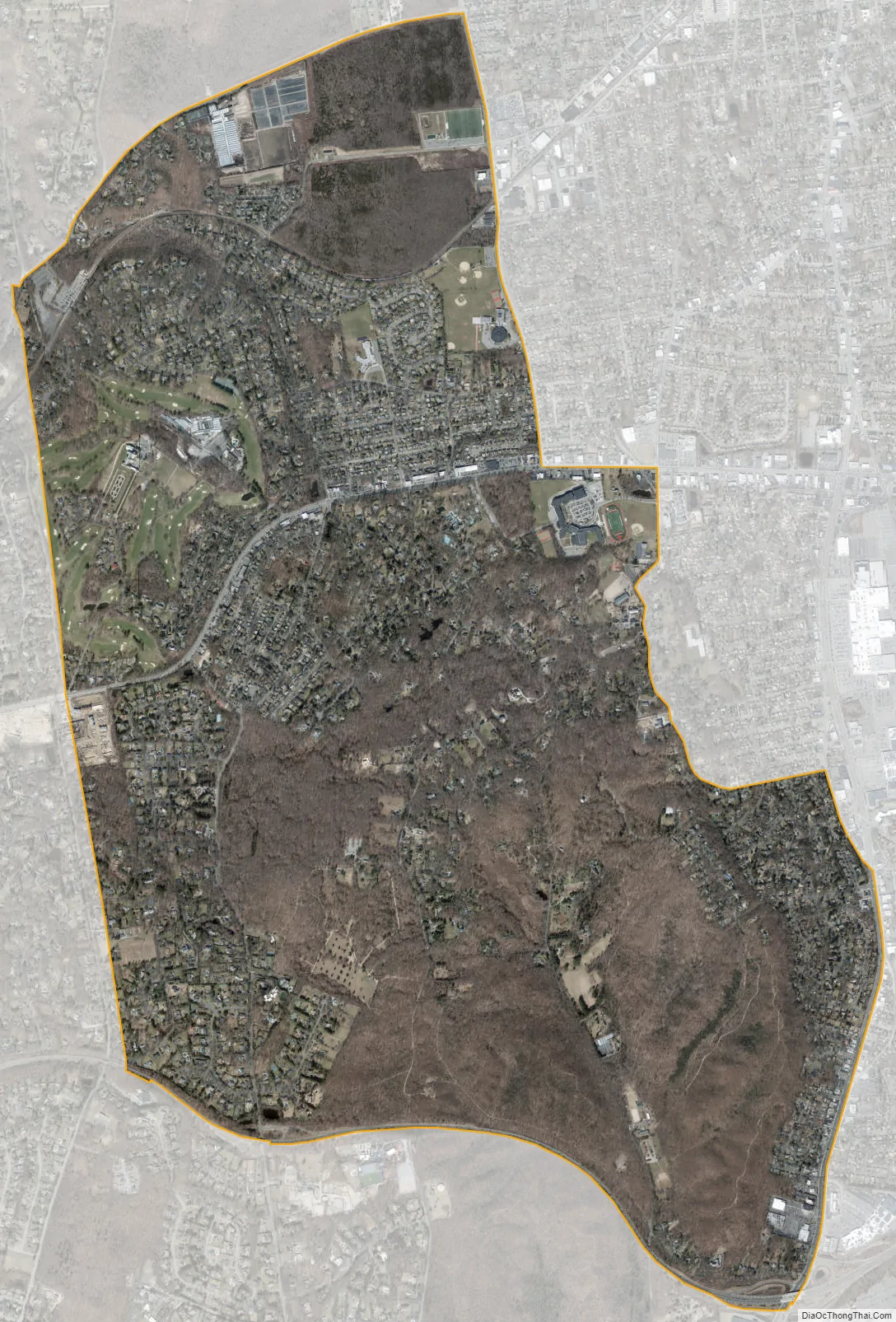
West Hills city Satellite Map
Geography
West Hills is located at 40°49′27″N 73°26′4″W / 40.82417°N 73.43444°W / 40.82417; -73.43444 (40.824098, −73.434381). According to the U.S. Census Bureau, the CDP has a total area of 4.9 square miles (13 km), all land.
West Hills County Park is the location of Jayne’s Hill, the natural highest point on Long Island (400 feet; 120 m).
See also
Map of New York State and its subdivision:- Albany
- Allegany
- Bronx
- Broome
- Cattaraugus
- Cayuga
- Chautauqua
- Chemung
- Chenango
- Clinton
- Columbia
- Cortland
- Delaware
- Dutchess
- Erie
- Essex
- Franklin
- Fulton
- Genesee
- Greene
- Hamilton
- Herkimer
- Jefferson
- Kings
- Lake Ontario
- Lewis
- Livingston
- Madison
- Monroe
- Montgomery
- Nassau
- New York
- Niagara
- Oneida
- Onondaga
- Ontario
- Orange
- Orleans
- Oswego
- Otsego
- Putnam
- Queens
- Rensselaer
- Richmond
- Rockland
- Saint Lawrence
- Saratoga
- Schenectady
- Schoharie
- Schuyler
- Seneca
- Steuben
- Suffolk
- Sullivan
- Tioga
- Tompkins
- Ulster
- Warren
- Washington
- Wayne
- Westchester
- Wyoming
- Yates
- Alabama
- Alaska
- Arizona
- Arkansas
- California
- Colorado
- Connecticut
- Delaware
- District of Columbia
- Florida
- Georgia
- Hawaii
- Idaho
- Illinois
- Indiana
- Iowa
- Kansas
- Kentucky
- Louisiana
- Maine
- Maryland
- Massachusetts
- Michigan
- Minnesota
- Mississippi
- Missouri
- Montana
- Nebraska
- Nevada
- New Hampshire
- New Jersey
- New Mexico
- New York
- North Carolina
- North Dakota
- Ohio
- Oklahoma
- Oregon
- Pennsylvania
- Rhode Island
- South Carolina
- South Dakota
- Tennessee
- Texas
- Utah
- Vermont
- Virginia
- Washington
- West Virginia
- Wisconsin
- Wyoming


