West Islip is a hamlet and CDP founded in 1683, located in the Town of Islip, in Suffolk County, New York, United States. Situated on the South Shore of Long Island, the population of the CDP was 27,048 at the time of the 2020 census.
| Name: | West Islip CDP |
|---|---|
| LSAD Code: | 57 |
| LSAD Description: | CDP (suffix) |
| State: | New York |
| County: | Suffolk County |
| Elevation: | 20 ft (6 m) |
| Total Area: | 7.81 sq mi (20.22 km²) |
| Land Area: | 6.09 sq mi (15.78 km²) |
| Water Area: | 1.71 sq mi (4.44 km²) |
| Total Population: | 27,048 |
| Population Density: | 4,438.46/sq mi (1,713.80/km²) |
| ZIP code: | 11795 |
| Area code: | 516/631 |
| FIPS code: | 3680302 |
| GNISfeature ID: | 0969276 |
Online Interactive Map
Click on ![]() to view map in "full screen" mode.
to view map in "full screen" mode.
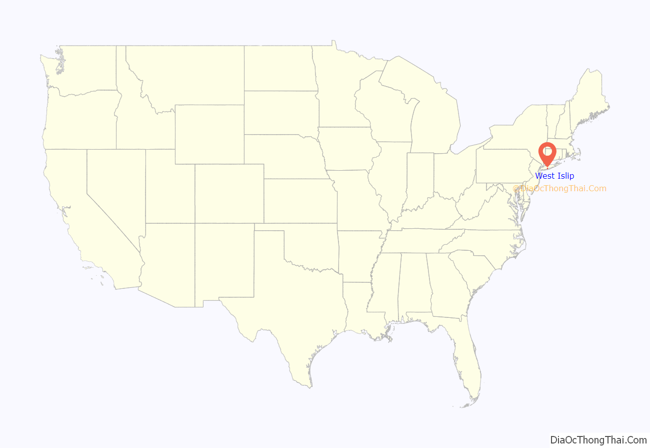
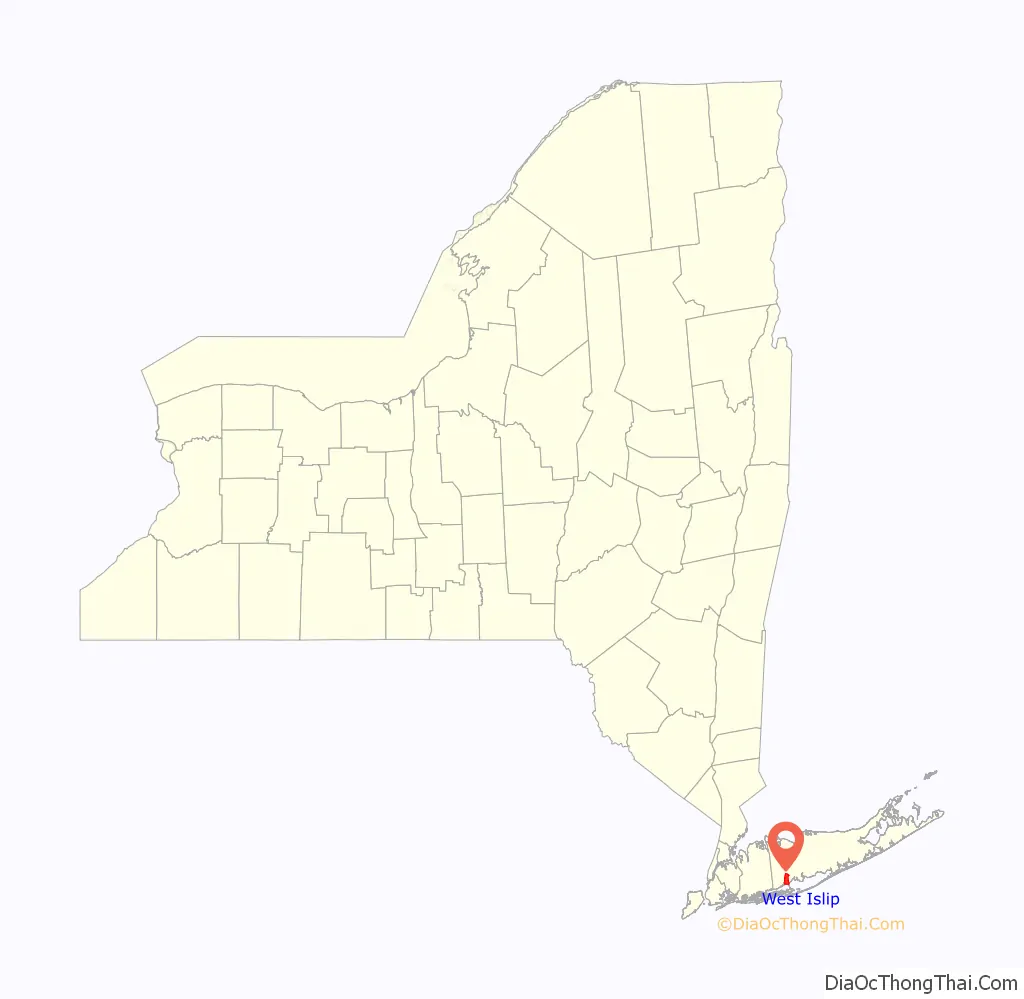
West Islip location map. Where is West Islip CDP?
History
The first people to settle in the area were the Secatogue Native Americans. The unearthing of a Native American burial ground north of West Islip beach enabled historians to reconstruct a village of these Native Americans who lived along the edges of the Great South Bay, Sampawams Creek, Trues Creek and Willetts Creek. [Citation needed.]
Farming and fishing were the main occupations. In the mid-19th century, the completion of the Long Island Rail Road brought travelers to West Islip.
Today West Islip has its own fire department, post office, public library and Good Samaritan Hospital. A short drive affords access to good fishing and swimming.
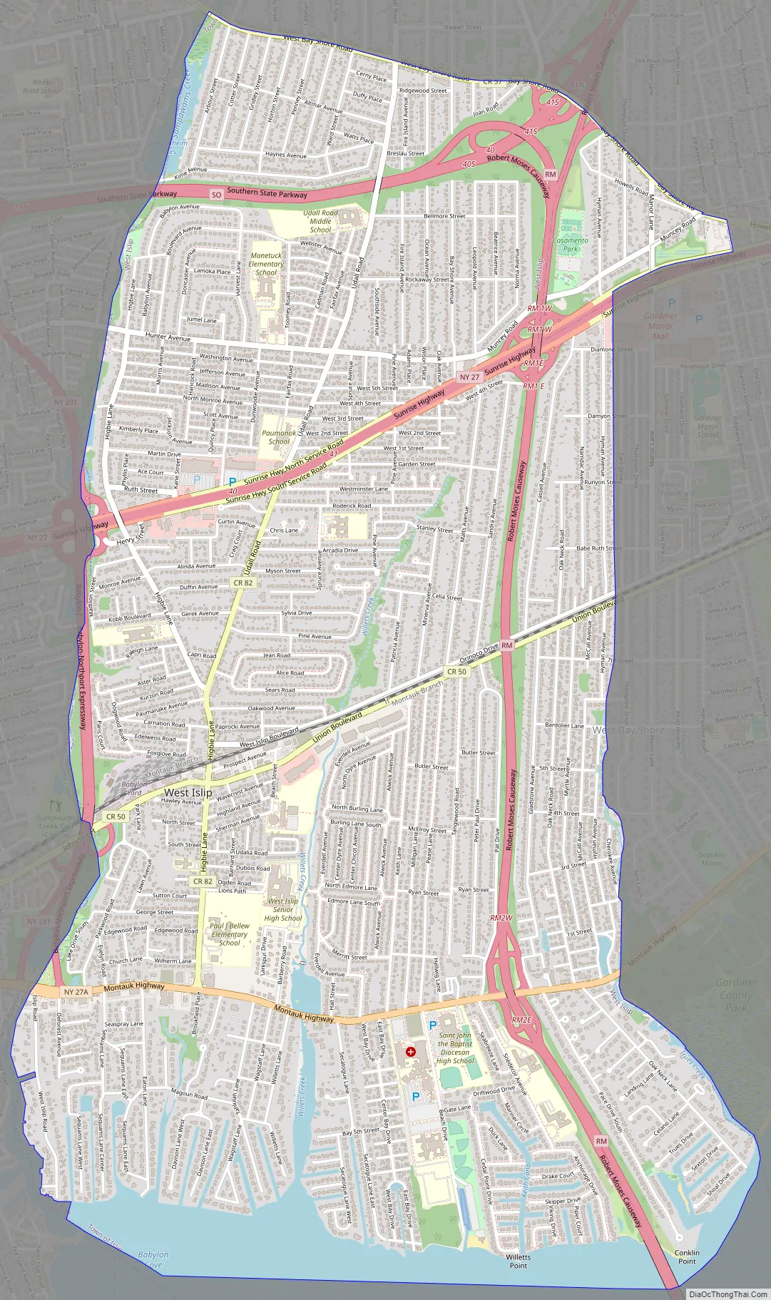
West Islip Road Map
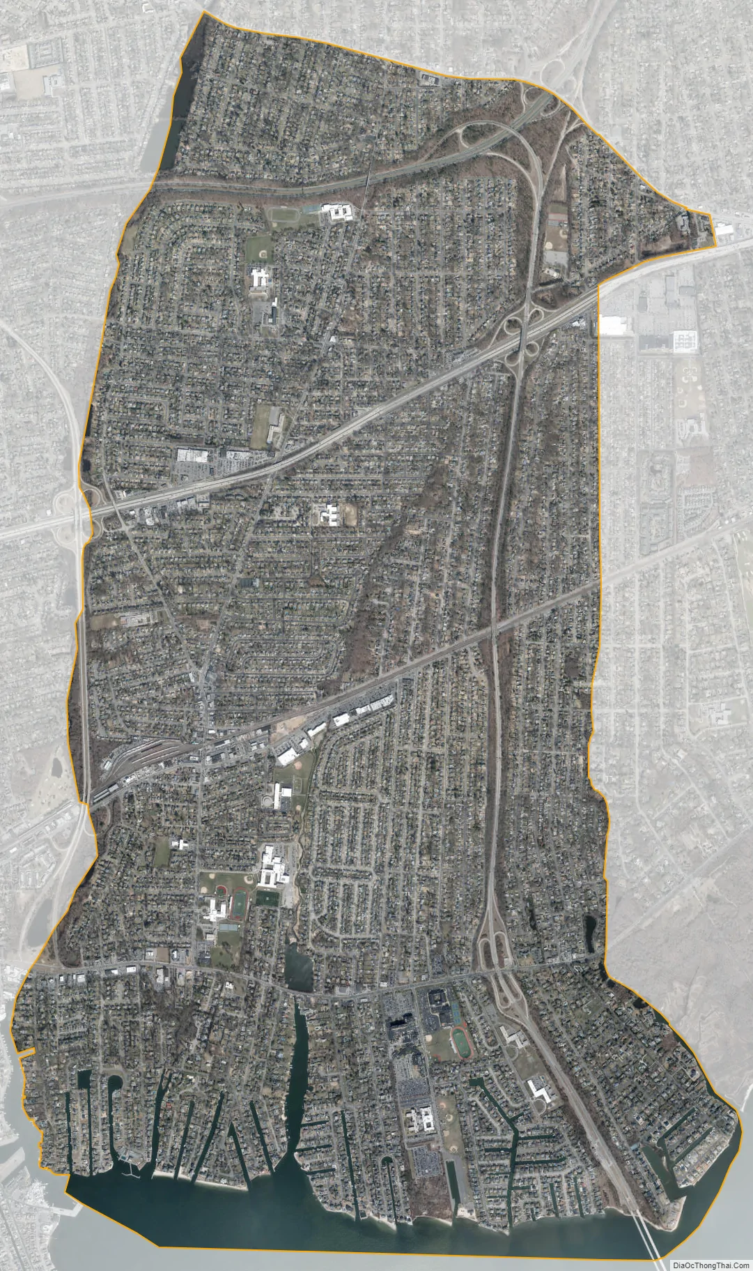
West Islip city Satellite Map
Geography
West Islip is located at 40°42′54″N 73°17′52″W / 40.71500°N 73.29778°W / 40.71500; -73.29778 (40.715008, -73.297746).
According to the United States Census Bureau, the CDP has a total area of 6.8 square miles (17.5 km), of which 6.3 square miles (16.4 km) is land and 0.42 square miles (1.1 km), or 6.46%, is water.
Great South Bay, Jones Beach Island and Fire Island lie to the south. Babylon and North Babylon form the western border. Bay Shore lies to the east, and in the north West Islip borders on Deer Park and Brentwood. West Islip is 45 miles (72 km) east of Manhattan and 45 miles (72 km) west of Southampton, New York. West Islip’s western boundary is a natural one formed by Sampawams Creek, Hawley’s Lake, and the Guggenheim Lakes.
See also
Map of New York State and its subdivision:- Albany
- Allegany
- Bronx
- Broome
- Cattaraugus
- Cayuga
- Chautauqua
- Chemung
- Chenango
- Clinton
- Columbia
- Cortland
- Delaware
- Dutchess
- Erie
- Essex
- Franklin
- Fulton
- Genesee
- Greene
- Hamilton
- Herkimer
- Jefferson
- Kings
- Lake Ontario
- Lewis
- Livingston
- Madison
- Monroe
- Montgomery
- Nassau
- New York
- Niagara
- Oneida
- Onondaga
- Ontario
- Orange
- Orleans
- Oswego
- Otsego
- Putnam
- Queens
- Rensselaer
- Richmond
- Rockland
- Saint Lawrence
- Saratoga
- Schenectady
- Schoharie
- Schuyler
- Seneca
- Steuben
- Suffolk
- Sullivan
- Tioga
- Tompkins
- Ulster
- Warren
- Washington
- Wayne
- Westchester
- Wyoming
- Yates
- Alabama
- Alaska
- Arizona
- Arkansas
- California
- Colorado
- Connecticut
- Delaware
- District of Columbia
- Florida
- Georgia
- Hawaii
- Idaho
- Illinois
- Indiana
- Iowa
- Kansas
- Kentucky
- Louisiana
- Maine
- Maryland
- Massachusetts
- Michigan
- Minnesota
- Mississippi
- Missouri
- Montana
- Nebraska
- Nevada
- New Hampshire
- New Jersey
- New Mexico
- New York
- North Carolina
- North Dakota
- Ohio
- Oklahoma
- Oregon
- Pennsylvania
- Rhode Island
- South Carolina
- South Dakota
- Tennessee
- Texas
- Utah
- Vermont
- Virginia
- Washington
- West Virginia
- Wisconsin
- Wyoming


