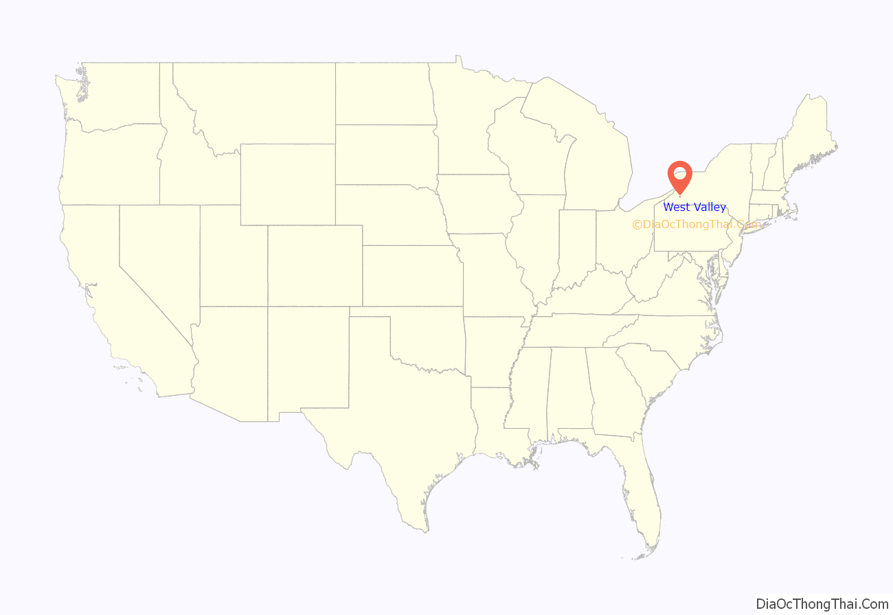
West Valley is a hamlet in the Town of Ashford in Cattaraugus County, New York, United States. The population was 518 at the 2010 census, which lists the community as a census-designated place.
Located at the intersection of Cattaraugus County Route 53 and State Route 240/County Route 32, the hamlet is home to West Valley Central School and the West Valley Demonstration Project, a nuclear cleanup facility. Because of the presence of a school district, a telephone exchange (716–942), and a post office located in (and named after) the hamlet, many people mistake West Valley to be the name of an actual town or village. However, it does not have any autonomous government separate from the town of Ashford.
| Name: | West Valley CDP |
|---|---|
| LSAD Code: | 57 |
| LSAD Description: | CDP (suffix) |
| State: | New York |
| County: | Cattaraugus County |
| Elevation: | 1,522 ft (464 m) |
| Total Area: | 1.53 sq mi (3.97 km²) |
| Land Area: | 1.53 sq mi (3.97 km²) |
| Water Area: | 0.00 sq mi (0.01 km²) |
| Total Population: | 452 |
| Population Density: | 295.04/sq mi (113.91/km²) |
| ZIP code: | 14171 |
| Area code: | 716 |
| FIPS code: | 3681138 |
| GNISfeature ID: | 970885 |
| Website: | www.ashfordny.org |
Online Interactive Map
Click on ![]() to view map in "full screen" mode.
to view map in "full screen" mode.
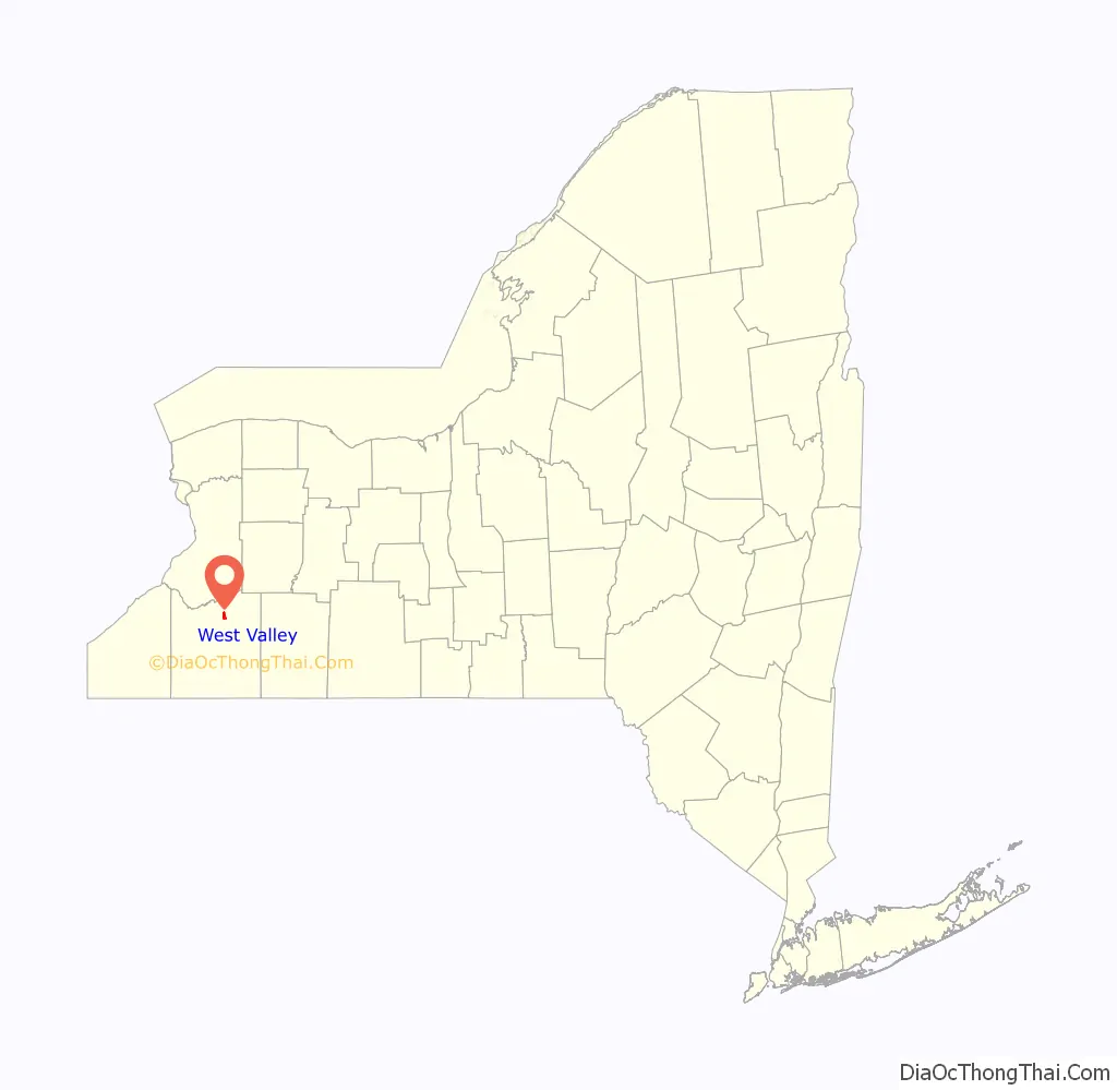
West Valley location map. Where is West Valley CDP?
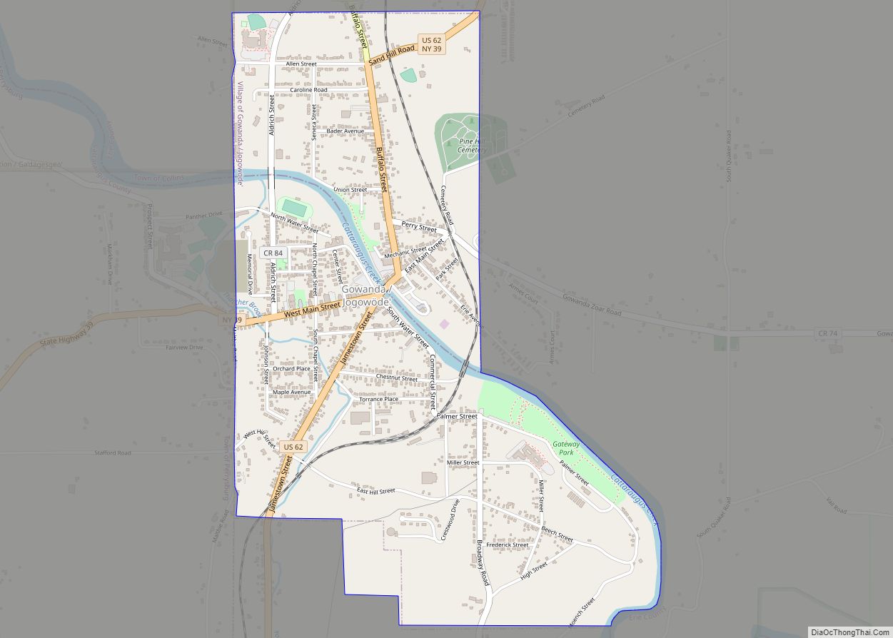
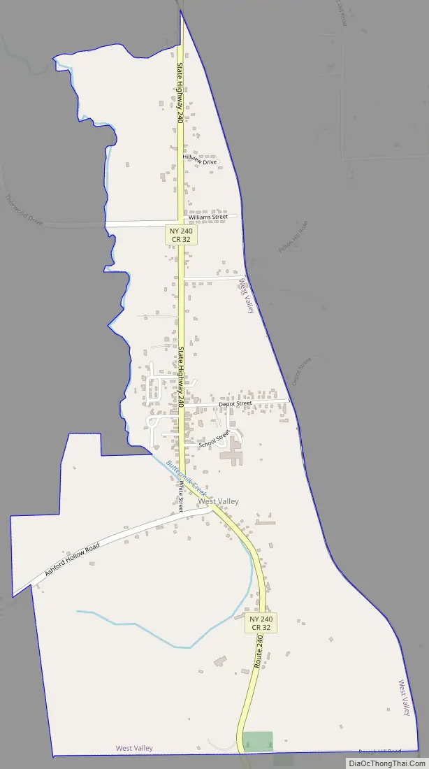
West Valley Road Map
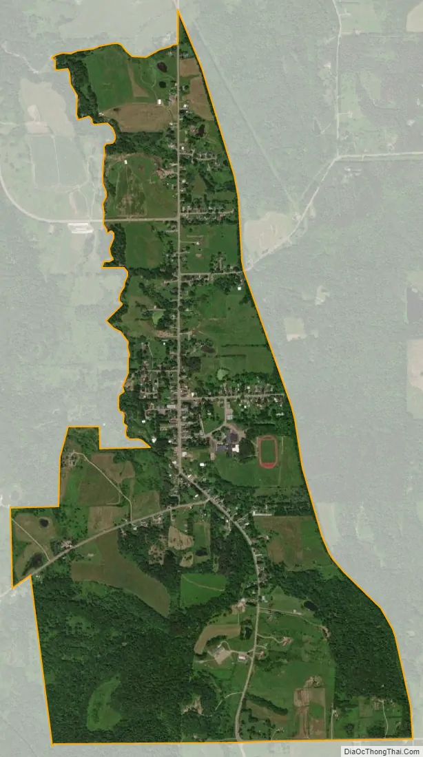
West Valley city Satellite Map
Geography
West Valley is located at 42°24′10″N 078°36′36″W / 42.40278°N 78.61000°W / 42.40278; -78.61000 (42.4028410, −78.6100253) and its elevation is 1,522 feet (464 m).
According to the 2010 United States Census, the CDP has a total area of 1.535 square miles (3.98 km), of which 1.532 square miles (3.97 km) is land and 0.003 square miles (0.01 km) is water.
See also
Map of New York State and its subdivision:- Albany
- Allegany
- Bronx
- Broome
- Cattaraugus
- Cayuga
- Chautauqua
- Chemung
- Chenango
- Clinton
- Columbia
- Cortland
- Delaware
- Dutchess
- Erie
- Essex
- Franklin
- Fulton
- Genesee
- Greene
- Hamilton
- Herkimer
- Jefferson
- Kings
- Lake Ontario
- Lewis
- Livingston
- Madison
- Monroe
- Montgomery
- Nassau
- New York
- Niagara
- Oneida
- Onondaga
- Ontario
- Orange
- Orleans
- Oswego
- Otsego
- Putnam
- Queens
- Rensselaer
- Richmond
- Rockland
- Saint Lawrence
- Saratoga
- Schenectady
- Schoharie
- Schuyler
- Seneca
- Steuben
- Suffolk
- Sullivan
- Tioga
- Tompkins
- Ulster
- Warren
- Washington
- Wayne
- Westchester
- Wyoming
- Yates
- Alabama
- Alaska
- Arizona
- Arkansas
- California
- Colorado
- Connecticut
- Delaware
- District of Columbia
- Florida
- Georgia
- Hawaii
- Idaho
- Illinois
- Indiana
- Iowa
- Kansas
- Kentucky
- Louisiana
- Maine
- Maryland
- Massachusetts
- Michigan
- Minnesota
- Mississippi
- Missouri
- Montana
- Nebraska
- Nevada
- New Hampshire
- New Jersey
- New Mexico
- New York
- North Carolina
- North Dakota
- Ohio
- Oklahoma
- Oregon
- Pennsylvania
- Rhode Island
- South Carolina
- South Dakota
- Tennessee
- Texas
- Utah
- Vermont
- Virginia
- Washington
- West Virginia
- Wisconsin
- Wyoming