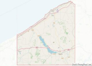
Westfield is a village in Chautauqua County, New York, United States. The population was 2993 at the 2020 census. The village lies within the town of Westfield in the northern part of the county.
The village is known as the “Grape Juice Capital of the World” because it lies roughly in the geographical center of 30,000 acres (120 km) of vineyards, most of which are the Concord grapes from which grape juice is produced, for years was corporate headquarters for the Welch’s Grape Juice company, and is still home to a Welch’s processing plant and other grape-related manufacturers.
Significant institutions in the village include the McClurg Mansion, Westfield Memorial Hospital, Westfield Academy, and the Patterson Library.
| Name: | Westfield village |
|---|---|
| LSAD Code: | 47 |
| LSAD Description: | village (suffix) |
| State: | New York |
| County: | Chautauqua County |
| Elevation: | 745 ft (227 m) |
| Total Area: | 3.78 sq mi (9.80 km²) |
| Land Area: | 3.78 sq mi (9.80 km²) |
| Water Area: | 0.00 sq mi (0.00 km²) |
| Total Population: | 2,910 |
| Population Density: | 769.03/sq mi (296.93/km²) |
| ZIP code: | 14787 |
| Area code: | 716 |
| FIPS code: | 3679939 |
| GNISfeature ID: | 0970918 |
| Website: | www.villageofwestfield.org |
Online Interactive Map
Click on ![]() to view map in "full screen" mode.
to view map in "full screen" mode.
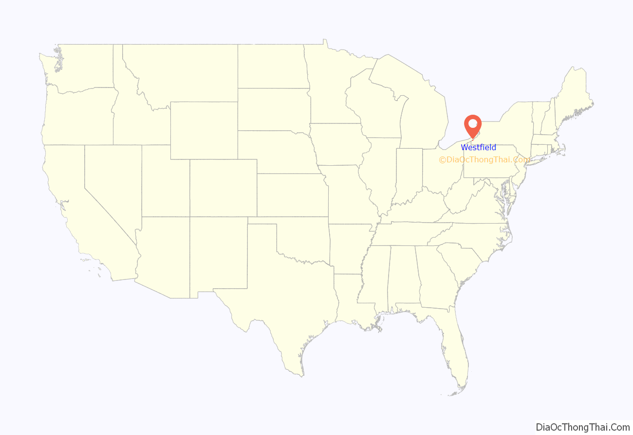
Westfield location map. Where is Westfield village?
History
The community was settled in 1802 and was formerly known as “Crossroads”. The village of Westfield was incorporated in 1833. The discovery of a pasteurization method for grape juice made by the Welch family promoted the production of grapes for this purpose in this region.
It was here in 1861 that Abraham Lincoln met a little girl named Grace Bedell, who, during the preceding year’s Presidential campaign, urged Lincoln by letter to grow his beard out fully as an attempt to improve his chances at being elected. Lincoln responded by brief letter thanking Grace for the suggestion. He made no promises but shortly afterwards allowed his beard to grow, and by the time he began his inaugural journey by train from Illinois to Washington, D.C., he had a full beard. The trip took him through New York State, and included a stop in Westfield, where thousands gathered to meet the President-Elect. Lincoln asked by name to meet Grace Bedell.
The February 19, 1861, edition of the New York World recounted the meeting as follows:
Today there is a small park in Westfield commemorating this meeting, on the site of the previous “Grand Theatre” movie house.
The celebrated author of juvenile adventure novels, Charles Austin Fosdick, better known by his pen name, Harry Castlemon, lived in Westfield for most of his adult life and is buried in the Westfield Cemetery. He was the most-read author for boys in the post-Civil War era.
Westfield Road Map
Westfield city Satellite Map
Geography
Westfield is at the second westernmost exit on Interstate 90 (the New York State Thruway) before it reaches the Pennsylvania border. It is a short distance north of Chautauqua Lake and the tourist attractions there including Chautauqua Institution.
According to the United States Census Bureau, the village has a total area of 3.8 square miles (9.9 km), all land. The center of Westfield is approximately 1 mile (1.6 km) south of the shore of Lake Erie.
The most significant geographical feature in the village is the gorge of Chautauqua Creek, which flows roughly north-south, on the way to Lake Erie, just west of the main intersection in the village (that of Portage Street, NY 394, and Main Street, US 20).
See also
Map of New York State and its subdivision:- Albany
- Allegany
- Bronx
- Broome
- Cattaraugus
- Cayuga
- Chautauqua
- Chemung
- Chenango
- Clinton
- Columbia
- Cortland
- Delaware
- Dutchess
- Erie
- Essex
- Franklin
- Fulton
- Genesee
- Greene
- Hamilton
- Herkimer
- Jefferson
- Kings
- Lake Ontario
- Lewis
- Livingston
- Madison
- Monroe
- Montgomery
- Nassau
- New York
- Niagara
- Oneida
- Onondaga
- Ontario
- Orange
- Orleans
- Oswego
- Otsego
- Putnam
- Queens
- Rensselaer
- Richmond
- Rockland
- Saint Lawrence
- Saratoga
- Schenectady
- Schoharie
- Schuyler
- Seneca
- Steuben
- Suffolk
- Sullivan
- Tioga
- Tompkins
- Ulster
- Warren
- Washington
- Wayne
- Westchester
- Wyoming
- Yates
- Alabama
- Alaska
- Arizona
- Arkansas
- California
- Colorado
- Connecticut
- Delaware
- District of Columbia
- Florida
- Georgia
- Hawaii
- Idaho
- Illinois
- Indiana
- Iowa
- Kansas
- Kentucky
- Louisiana
- Maine
- Maryland
- Massachusetts
- Michigan
- Minnesota
- Mississippi
- Missouri
- Montana
- Nebraska
- Nevada
- New Hampshire
- New Jersey
- New Mexico
- New York
- North Carolina
- North Dakota
- Ohio
- Oklahoma
- Oregon
- Pennsylvania
- Rhode Island
- South Carolina
- South Dakota
- Tennessee
- Texas
- Utah
- Vermont
- Virginia
- Washington
- West Virginia
- Wisconsin
- Wyoming
