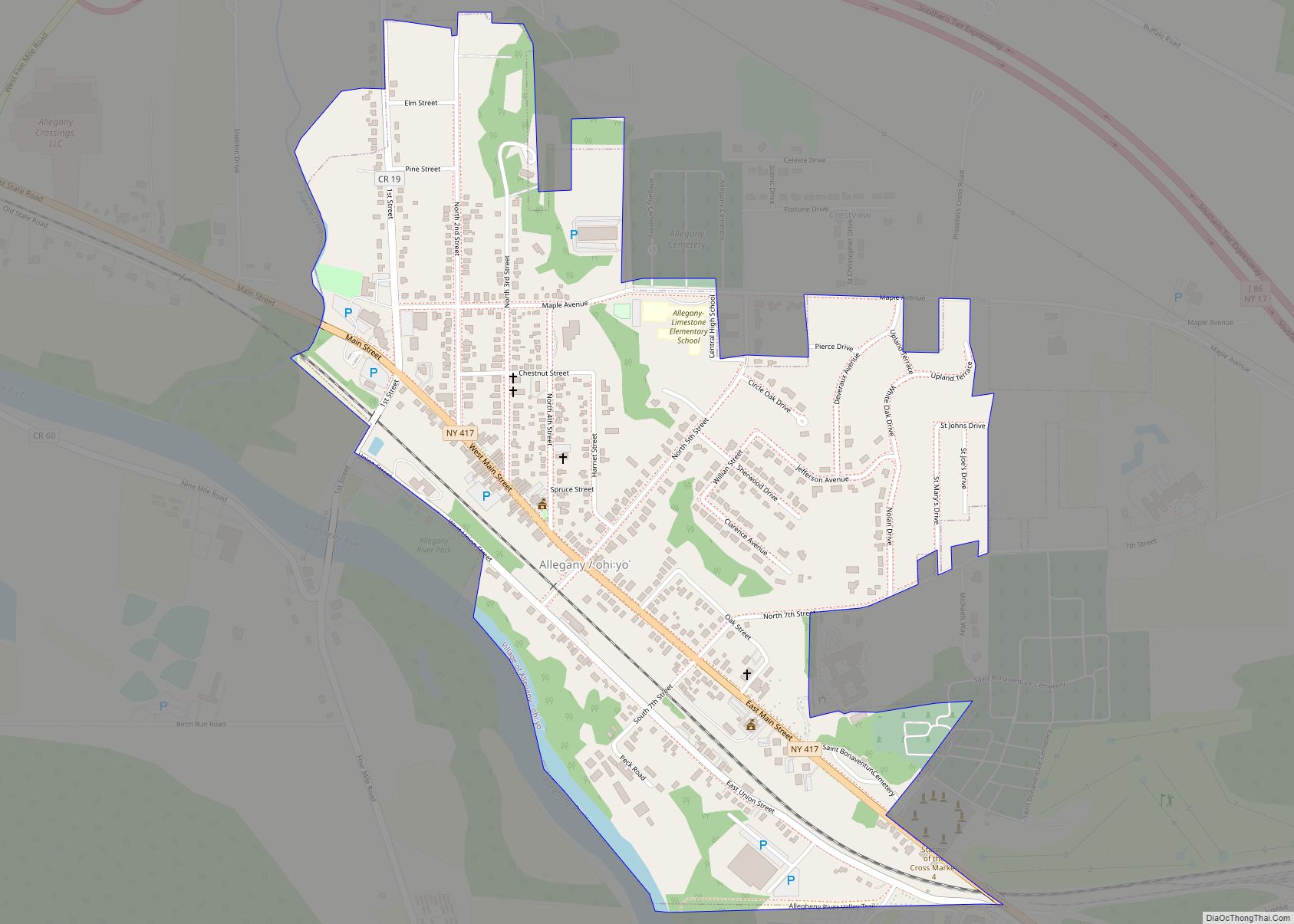
Weston Mills (variant names Westons Mills and Weston’s Mills) is a hamlet in the towns of Portville and Olean in Cattaraugus County, New York, United States. It is counted as a census-designated place by the U.S. Census Bureau, which recorded a population of 1,472 at the 2010 census.
| Name: | Weston Mills CDP |
|---|---|
| LSAD Code: | 57 |
| LSAD Description: | CDP (suffix) |
| State: | New York |
| County: | Cattaraugus County |
| Elevation: | 1,463 ft (446 m) |
| Total Area: | 7.12 sq mi (18.45 km²) |
| Land Area: | 7.05 sq mi (18.26 km²) |
| Water Area: | 0.07 sq mi (0.19 km²) |
| Total Population: | 1,525 |
| Population Density: | 216.34/sq mi (83.54/km²) |
| ZIP code: | 14788 |
| Area code: | 716 |
| FIPS code: | 3680632 |
| GNISfeature ID: | 970939 |
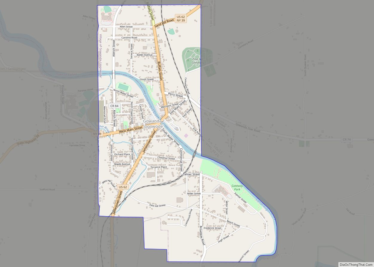
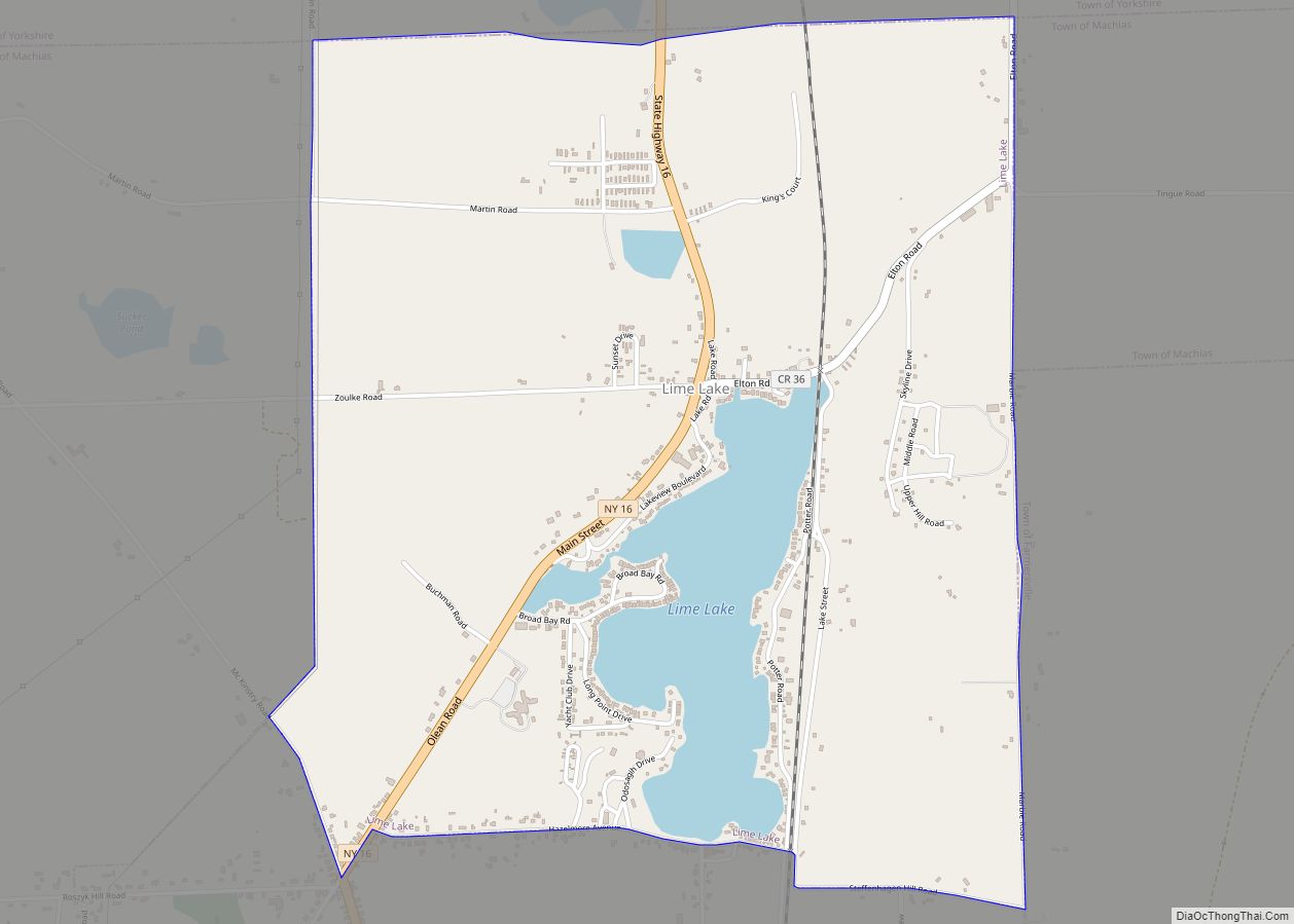
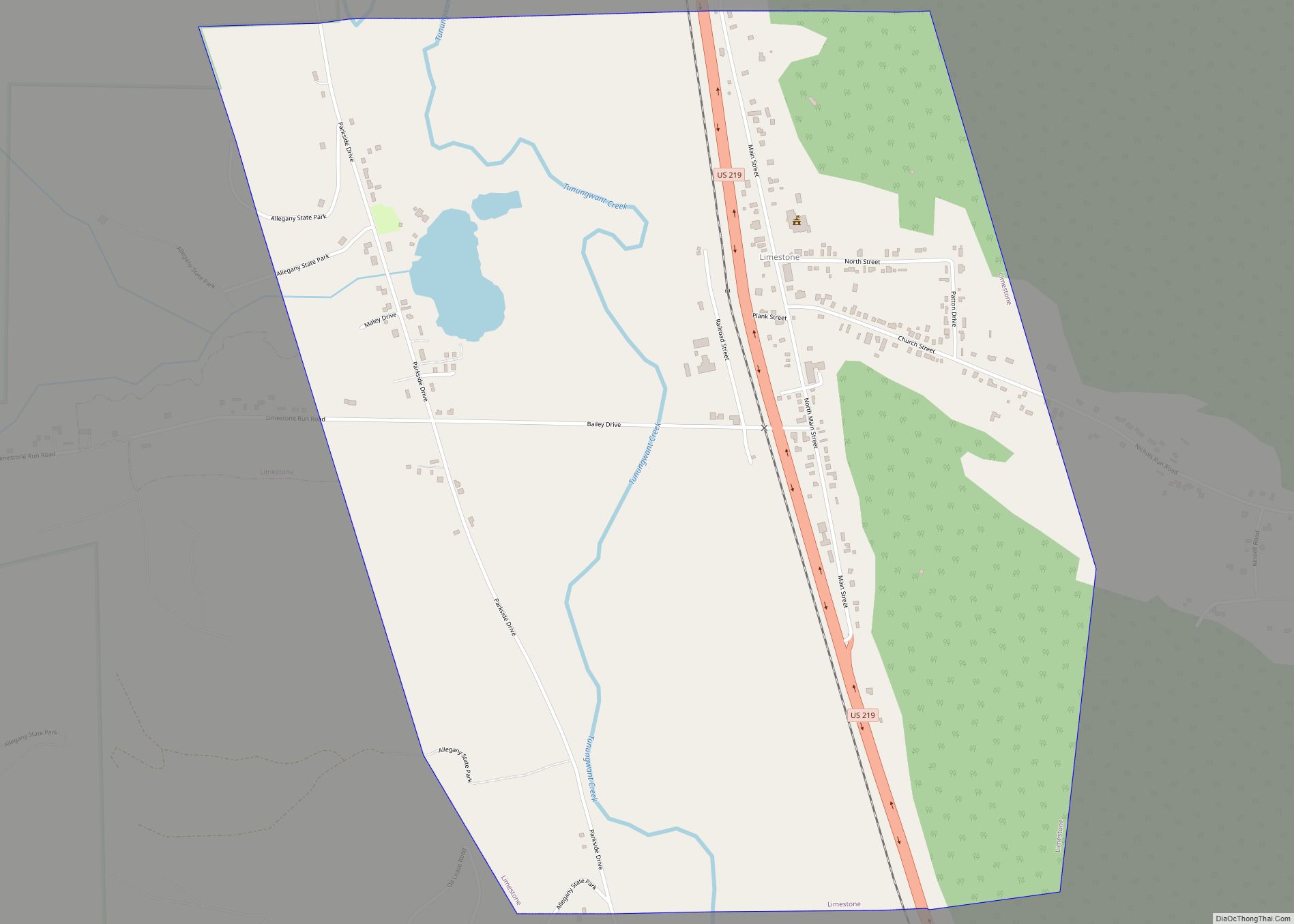
Online Interactive Map
Click on ![]() to view map in "full screen" mode.
to view map in "full screen" mode.
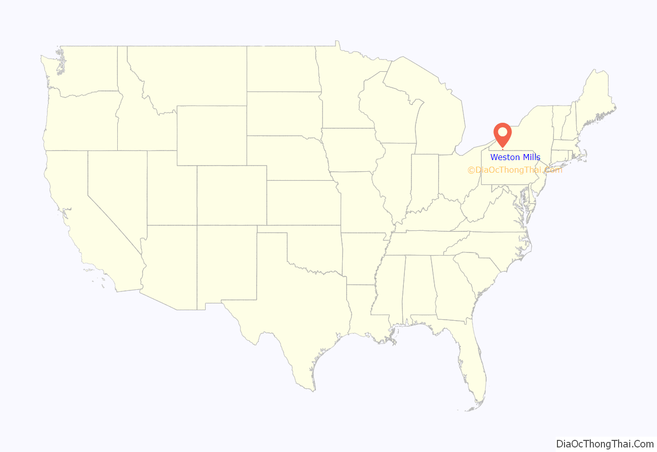
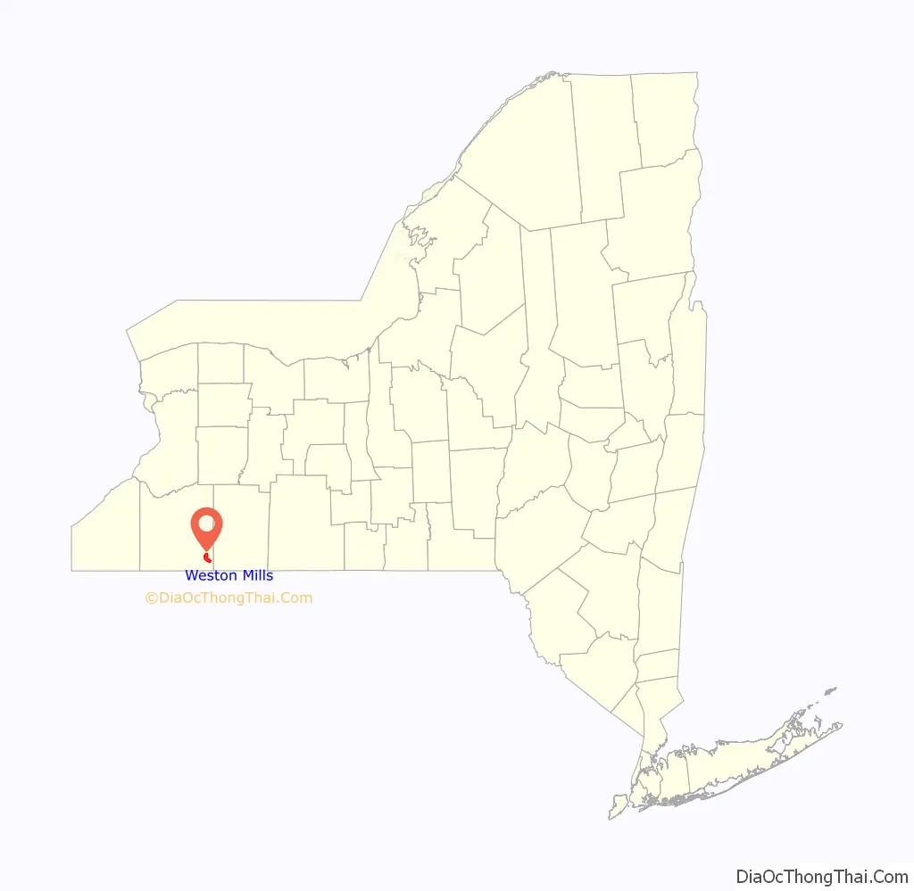
Weston Mills location map. Where is Weston Mills CDP?
History
Weston Mills was founded by the Weston family, three brothers who set up the titular mill in the community. According to county administrator Jack Searles, the name was likely either Weston’s Mills or Westons Mills at first (the 1869 Beers Atlas uses the name “Westonville” for the location), then changed to Weston Mills at the behest of President Benjamin Harrison, who sought to standardize post-office names by removing unnecessary possessive forms (see United States Board on Geographic Names). The “s” was slowly, and colloquially, restored over the course of the 1960s, after a store (now Carpet Town Carpet One / Ashley Furniture HomeStores) opened using the “Weston’s” name. The original Weston family homestead is now owned by the government, which operates it as a group home.
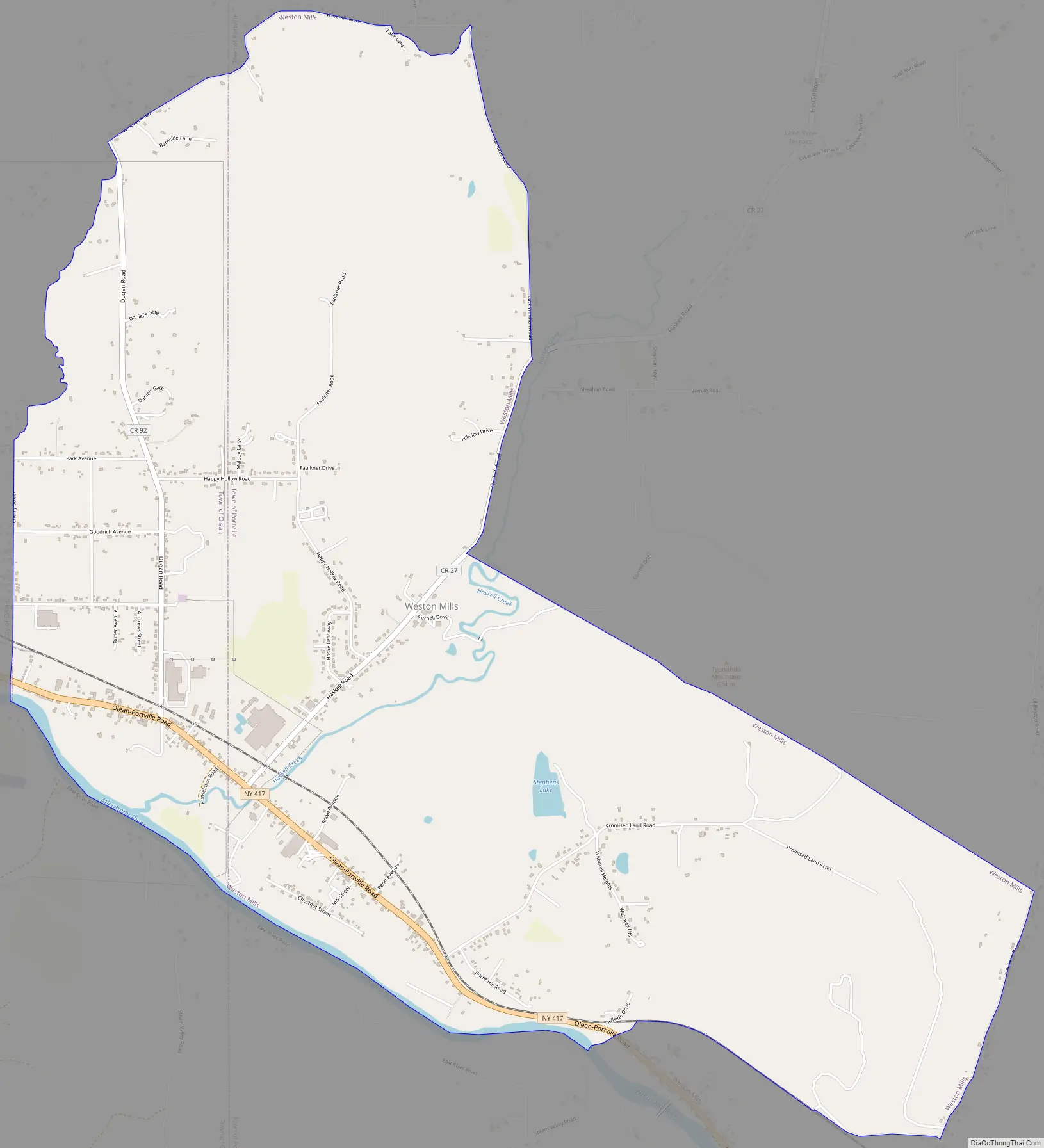
Weston Mills Road Map
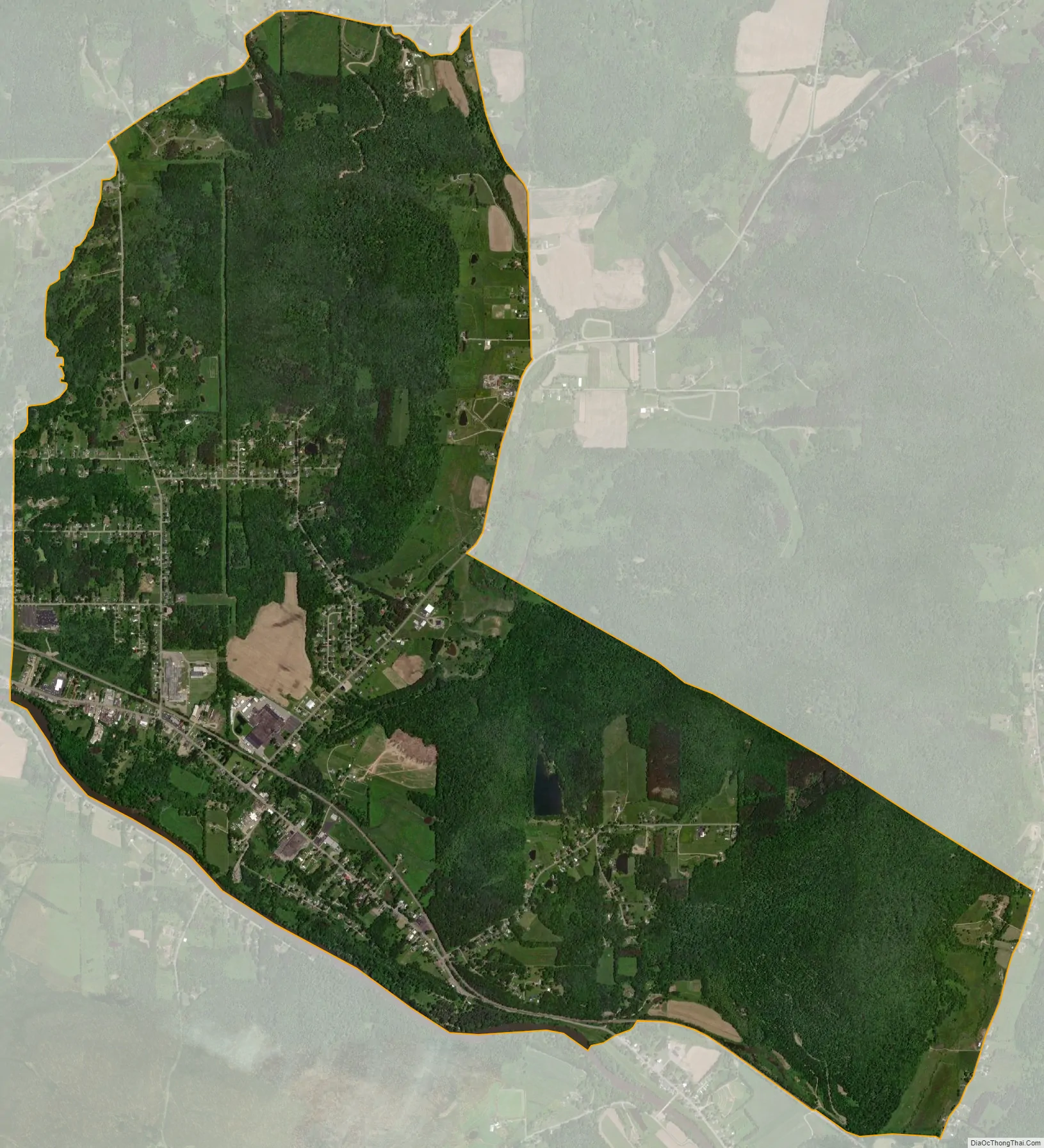
Weston Mills city Satellite Map
Geography
Westons Mills is located at 42°4′13″N 78°22′44″W / 42.07028°N 78.37889°W / 42.07028; -78.37889 (42.070296, -78.379012). It is primarily in the town of Portville, but extends west into the town of Olean as far as the limits of the city of Olean. New York State Route 417 passes through the community, leading west 2 miles (3 km) into the center of Olean and southeast 3 miles (5 km) to the village of Portville.
According to the United States Census Bureau, the CDP has a total area of 6.8 square miles (17.5 km), of which 6.7 square miles (17.3 km) is land and 0.08 square miles (0.2 km), or 1.09%, is water.
The community is on the north side of the Allegheny River.
See also
Map of New York State and its subdivision:- Albany
- Allegany
- Bronx
- Broome
- Cattaraugus
- Cayuga
- Chautauqua
- Chemung
- Chenango
- Clinton
- Columbia
- Cortland
- Delaware
- Dutchess
- Erie
- Essex
- Franklin
- Fulton
- Genesee
- Greene
- Hamilton
- Herkimer
- Jefferson
- Kings
- Lake Ontario
- Lewis
- Livingston
- Madison
- Monroe
- Montgomery
- Nassau
- New York
- Niagara
- Oneida
- Onondaga
- Ontario
- Orange
- Orleans
- Oswego
- Otsego
- Putnam
- Queens
- Rensselaer
- Richmond
- Rockland
- Saint Lawrence
- Saratoga
- Schenectady
- Schoharie
- Schuyler
- Seneca
- Steuben
- Suffolk
- Sullivan
- Tioga
- Tompkins
- Ulster
- Warren
- Washington
- Wayne
- Westchester
- Wyoming
- Yates
- Alabama
- Alaska
- Arizona
- Arkansas
- California
- Colorado
- Connecticut
- Delaware
- District of Columbia
- Florida
- Georgia
- Hawaii
- Idaho
- Illinois
- Indiana
- Iowa
- Kansas
- Kentucky
- Louisiana
- Maine
- Maryland
- Massachusetts
- Michigan
- Minnesota
- Mississippi
- Missouri
- Montana
- Nebraska
- Nevada
- New Hampshire
- New Jersey
- New Mexico
- New York
- North Carolina
- North Dakota
- Ohio
- Oklahoma
- Oregon
- Pennsylvania
- Rhode Island
- South Carolina
- South Dakota
- Tennessee
- Texas
- Utah
- Vermont
- Virginia
- Washington
- West Virginia
- Wisconsin
- Wyoming