Wheatley Heights is a census-designated place (CDP) in Suffolk County, New York. The population was 5,130 at the 2010 census. The CDP, located in the Town of Babylon, is named after the hamlet in the same general vicinity.
In the past, some or all Wheatley Heights was proposed to become part of the never-realized Incorporated Village of Half Hollow Hills.
| Name: | Wheatley Heights CDP |
|---|---|
| LSAD Code: | 57 |
| LSAD Description: | CDP (suffix) |
| State: | New York |
| County: | Suffolk County |
| Elevation: | 102 ft (31 m) |
| Total Area: | 1.32 sq mi (3.41 km²) |
| Land Area: | 1.32 sq mi (3.41 km²) |
| Water Area: | 0.00 sq mi (0.00 km²) |
| Total Population: | 5,140 |
| Population Density: | 3,899.85/sq mi (1,505.92/km²) |
| ZIP code: | 11798 |
| Area code: | 631 |
| FIPS code: | 3681419 |
| GNISfeature ID: | 1867425 |
Online Interactive Map
Click on ![]() to view map in "full screen" mode.
to view map in "full screen" mode.
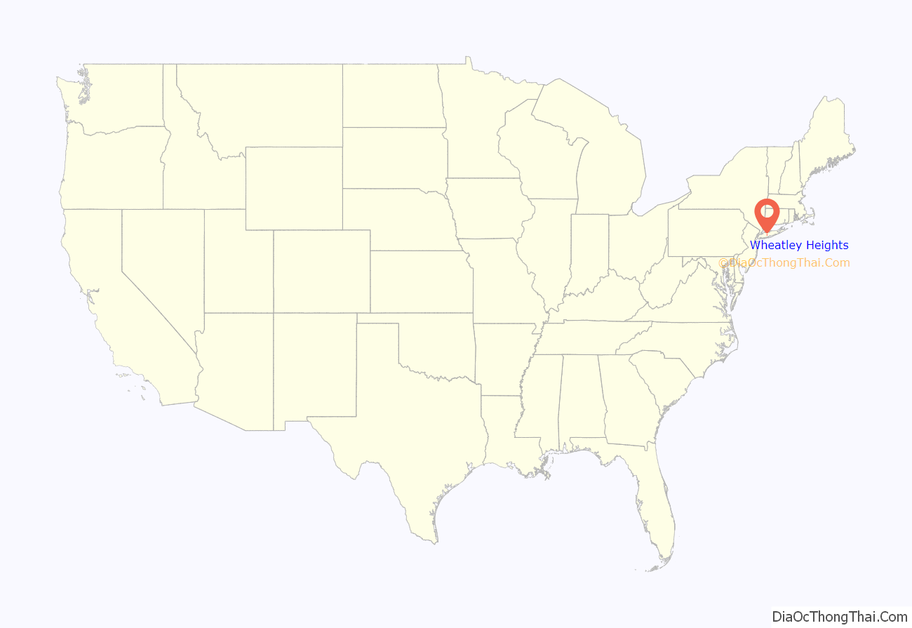
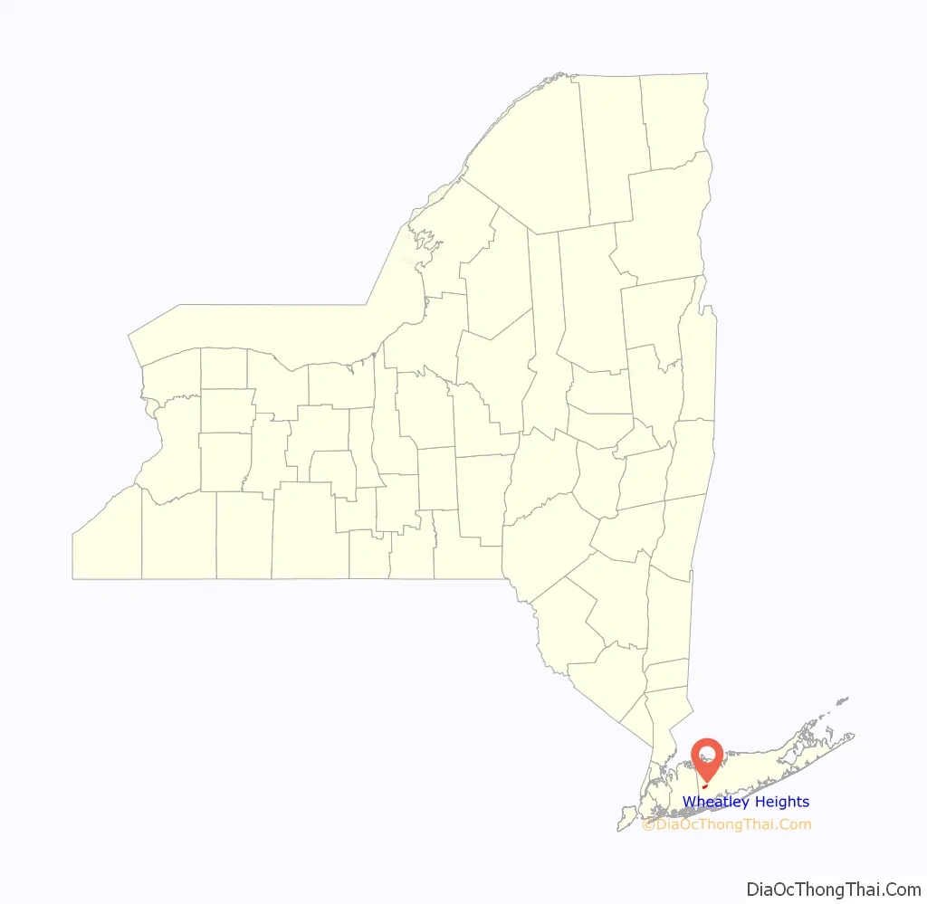
Wheatley Heights location map. Where is Wheatley Heights CDP?
History
Wheatley Heights historically was part of the hamlet of Wyandanch, and shares a ZIP code and fire brigade with it. The name Wyandanch was changed to Wheatley Heights by the Postmaster of Wyandanch Thomas A. Brown.
Circa 2001, Wheatley Heights and its neighbors Dix Hills, East Farmingdale, and Melville (all partially or wholly within the Half Hollow Hills Central School District) proposed incorporating as a single village called the Incorporated Village of Half Hollow Hills. These plans failed and each remain unincorporated hamlets to this day.
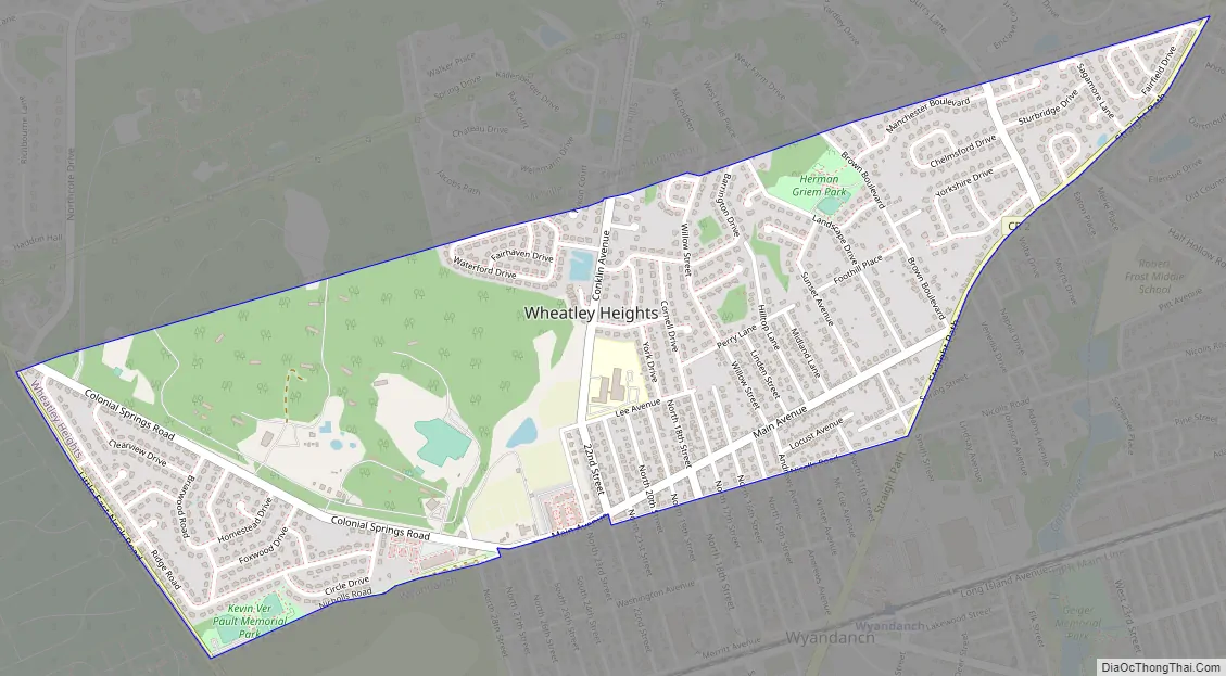
Wheatley Heights Road Map
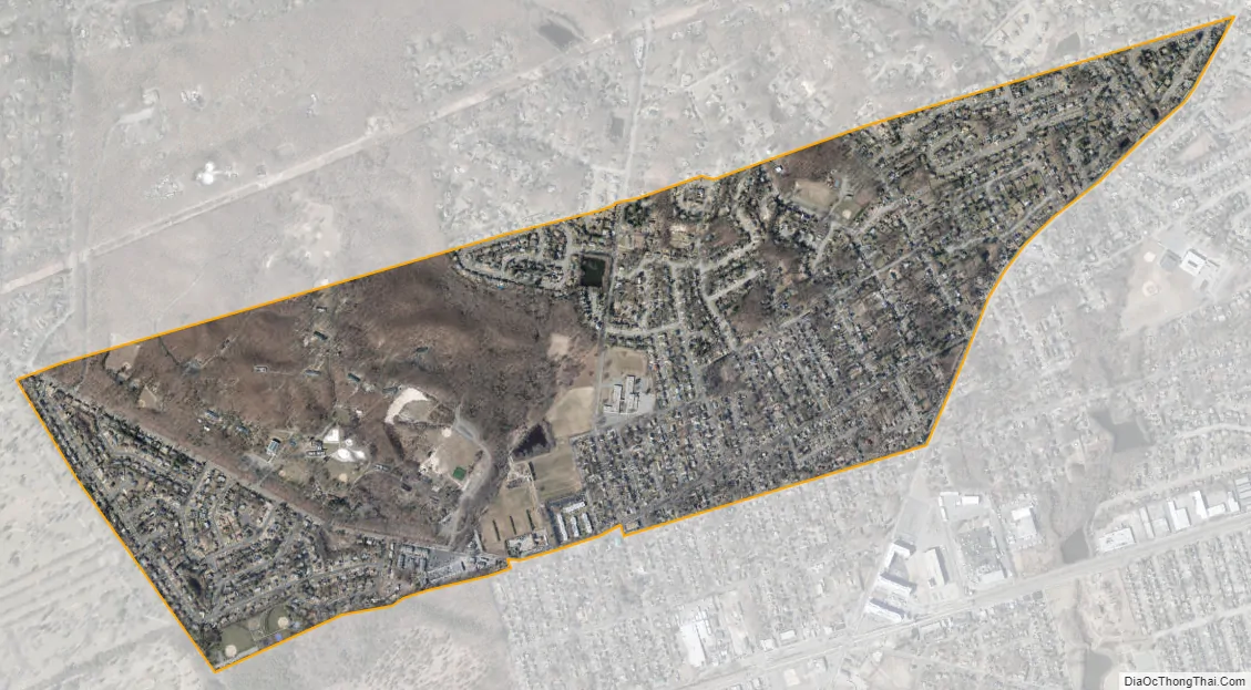
Wheatley Heights city Satellite Map
Geography
According to the United States Census Bureau, the CDP has a total area of 1.4 square miles (3.6 km), all land.
Wheatley Heights is bordered by Dix Hills to the northeast, East Farmingdale to the west, Deer Park to the east, Wyandanch to the south, and Melville to the northwest.
See also
Map of New York State and its subdivision:- Albany
- Allegany
- Bronx
- Broome
- Cattaraugus
- Cayuga
- Chautauqua
- Chemung
- Chenango
- Clinton
- Columbia
- Cortland
- Delaware
- Dutchess
- Erie
- Essex
- Franklin
- Fulton
- Genesee
- Greene
- Hamilton
- Herkimer
- Jefferson
- Kings
- Lake Ontario
- Lewis
- Livingston
- Madison
- Monroe
- Montgomery
- Nassau
- New York
- Niagara
- Oneida
- Onondaga
- Ontario
- Orange
- Orleans
- Oswego
- Otsego
- Putnam
- Queens
- Rensselaer
- Richmond
- Rockland
- Saint Lawrence
- Saratoga
- Schenectady
- Schoharie
- Schuyler
- Seneca
- Steuben
- Suffolk
- Sullivan
- Tioga
- Tompkins
- Ulster
- Warren
- Washington
- Wayne
- Westchester
- Wyoming
- Yates
- Alabama
- Alaska
- Arizona
- Arkansas
- California
- Colorado
- Connecticut
- Delaware
- District of Columbia
- Florida
- Georgia
- Hawaii
- Idaho
- Illinois
- Indiana
- Iowa
- Kansas
- Kentucky
- Louisiana
- Maine
- Maryland
- Massachusetts
- Michigan
- Minnesota
- Mississippi
- Missouri
- Montana
- Nebraska
- Nevada
- New Hampshire
- New Jersey
- New Mexico
- New York
- North Carolina
- North Dakota
- Ohio
- Oklahoma
- Oregon
- Pennsylvania
- Rhode Island
- South Carolina
- South Dakota
- Tennessee
- Texas
- Utah
- Vermont
- Virginia
- Washington
- West Virginia
- Wisconsin
- Wyoming


