Windham is a hamlet and census-designated place (CDP) in the town of Windham, Greene County, New York, United States. The population of the CDP was 367 at the 2010 census, out of a total of 1,703 people in the town.
The community of Windham is in the western part of the town, on Route 23. It was formerly known by several other names, including “Batavia”, “Osbornville”, and “Windham Center”.
| Name: | Windham CDP |
|---|---|
| LSAD Code: | 57 |
| LSAD Description: | CDP (suffix) |
| State: | New York |
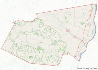
| County: | Greene County |
| Elevation: | 1,516 ft (462 m) |
| Total Area: | 2.30 sq mi (5.96 km²) |
| Land Area: | 2.30 sq mi (5.96 km²) |
| Water Area: | 0.00 sq mi (0.00 km²) |
| Total Population: | 371 |
| Population Density: | 161.23/sq mi (62.25/km²) |
| ZIP code: | 12496 |
| Area code: | 518 |
| FIPS code: | 3682469 |
| GNISfeature ID: | 0971463 |
| Website: | www.townofwindhamny.com |
Online Interactive Map
Click on ![]() to view map in "full screen" mode.
to view map in "full screen" mode.
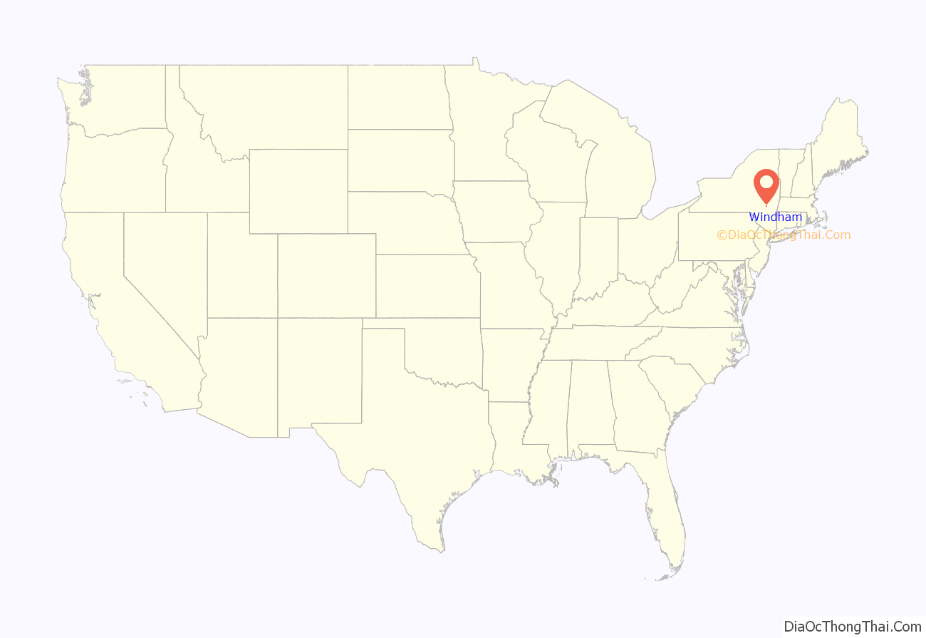
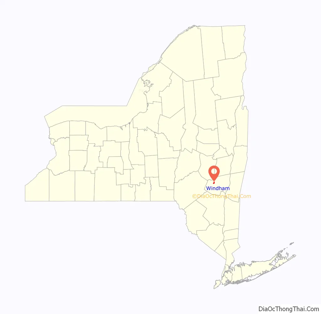
Windham location map. Where is Windham CDP?
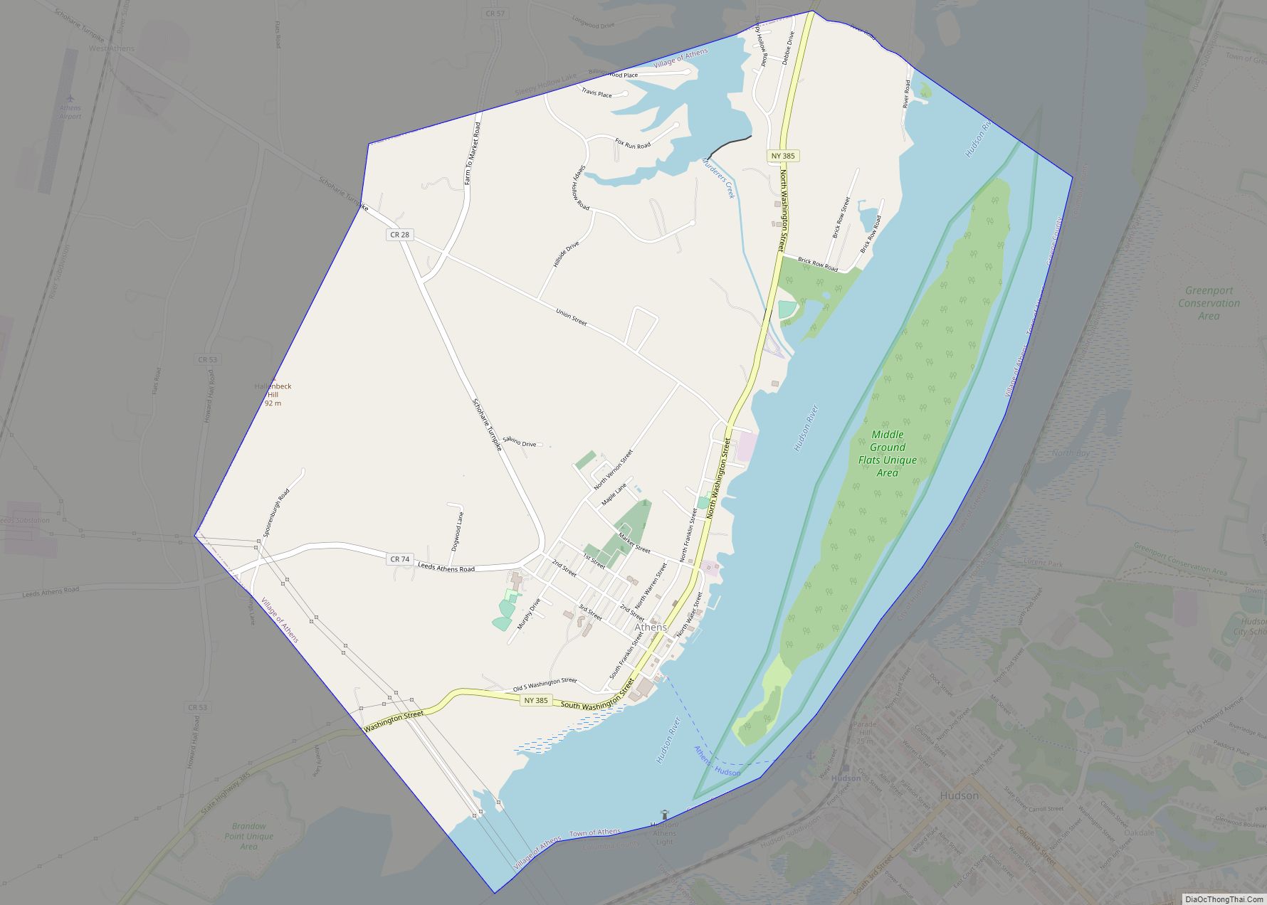
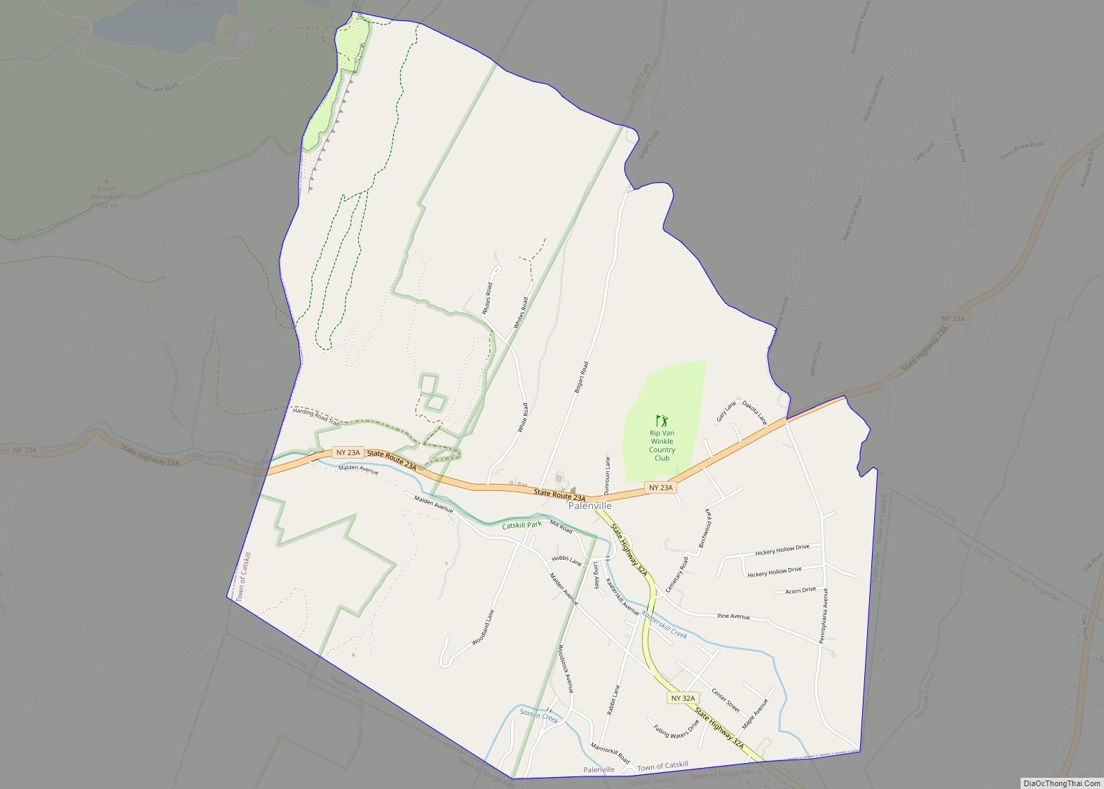
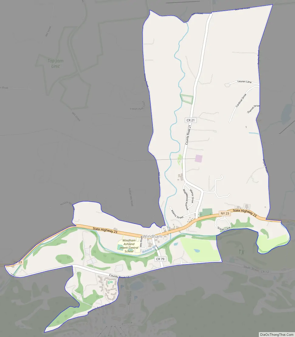
Windham Road Map
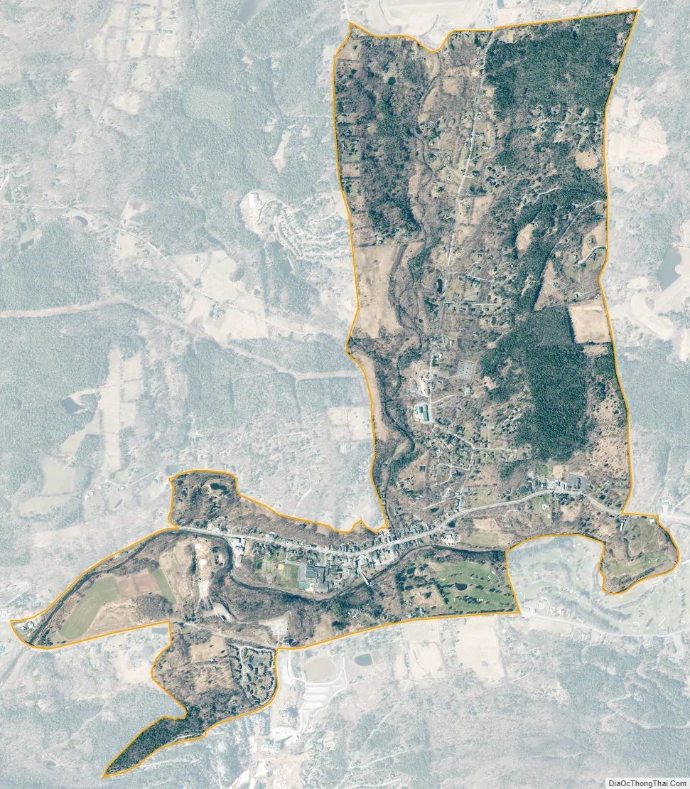
Windham city Satellite Map
Geography
Windham is located at 42°18′41″N 74°14′49″W / 42.31139°N 74.24694°W / 42.31139; -74.24694 (42.311591, -74.247116), in the valley of the Batavia Kill, a westward-flowing tributary of Schoharie Creek and part of the Mohawk River watershed. The hamlet is at the northern boundary of the Catskill Park.
According to the United States Census Bureau, the Windham CDP has a total area of 1.9 square miles (4.9 km), all land.
See also
Map of New York State and its subdivision:- Albany
- Allegany
- Bronx
- Broome
- Cattaraugus
- Cayuga
- Chautauqua
- Chemung
- Chenango
- Clinton
- Columbia
- Cortland
- Delaware
- Dutchess
- Erie
- Essex
- Franklin
- Fulton
- Genesee
- Greene
- Hamilton
- Herkimer
- Jefferson
- Kings
- Lake Ontario
- Lewis
- Livingston
- Madison
- Monroe
- Montgomery
- Nassau
- New York
- Niagara
- Oneida
- Onondaga
- Ontario
- Orange
- Orleans
- Oswego
- Otsego
- Putnam
- Queens
- Rensselaer
- Richmond
- Rockland
- Saint Lawrence
- Saratoga
- Schenectady
- Schoharie
- Schuyler
- Seneca
- Steuben
- Suffolk
- Sullivan
- Tioga
- Tompkins
- Ulster
- Warren
- Washington
- Wayne
- Westchester
- Wyoming
- Yates
- Alabama
- Alaska
- Arizona
- Arkansas
- California
- Colorado
- Connecticut
- Delaware
- District of Columbia
- Florida
- Georgia
- Hawaii
- Idaho
- Illinois
- Indiana
- Iowa
- Kansas
- Kentucky
- Louisiana
- Maine
- Maryland
- Massachusetts
- Michigan
- Minnesota
- Mississippi
- Missouri
- Montana
- Nebraska
- Nevada
- New Hampshire
- New Jersey
- New Mexico
- New York
- North Carolina
- North Dakota
- Ohio
- Oklahoma
- Oregon
- Pennsylvania
- Rhode Island
- South Carolina
- South Dakota
- Tennessee
- Texas
- Utah
- Vermont
- Virginia
- Washington
- West Virginia
- Wisconsin
- Wyoming