Wolcott is a village in Wayne County, New York, United States. The population was 1,701 at the 2010 census. The name is from Oliver Wolcott, a former governor of Connecticut.
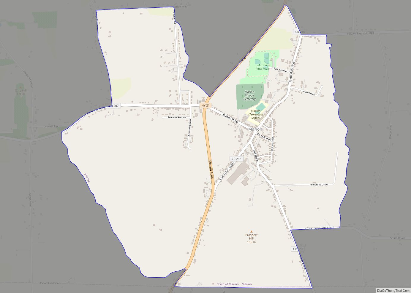
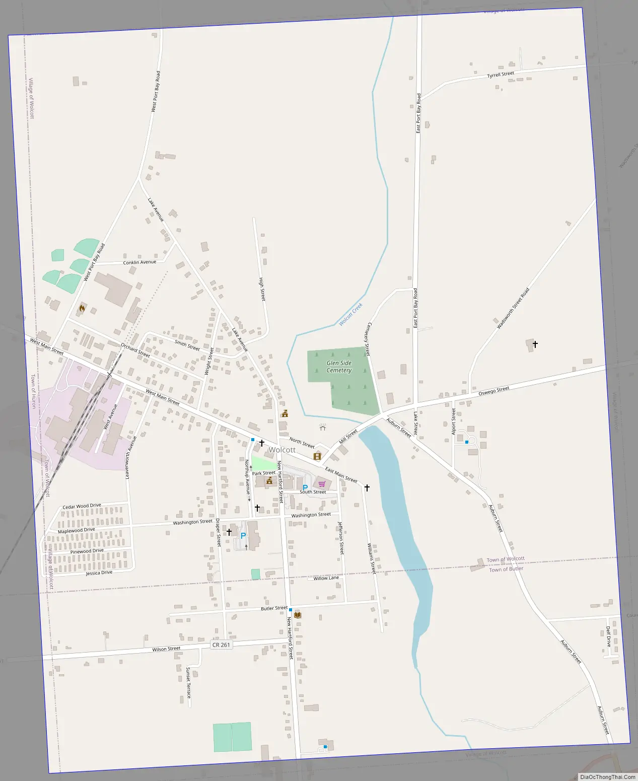
The Village of Wolcott is in the southwest part of the Town of Wolcott and is west of Syracuse, New York. Part of the southward spread of the village is in the Town of Butler.
| Name: | Wolcott village |
|---|---|
| LSAD Code: | 47 |
| LSAD Description: | village (suffix) |
| State: | New York |
| County: | Wayne County |
| Incorporated: | February 24, 1852 (1852-02-24) |
| Elevation: | 378 ft (113 m) |
| Total Area: | 1.97 sq mi (5.09 km²) |
| Land Area: | 1.95 sq mi (5.04 km²) |
| Water Area: | 0.02 sq mi (0.05 km²) |
| Total Population: | 1,556 |
| Population Density: | 798.77/sq mi (308.47/km²) |
| Area code: | 315 and 680 |
| FIPS code: | 3682678 |
| GNISfeature ID: | 0971538 |
| Website: | http://www.wolcottny.org/ |
Online Interactive Map
Click on ![]() to view map in "full screen" mode.
to view map in "full screen" mode.
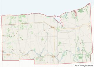
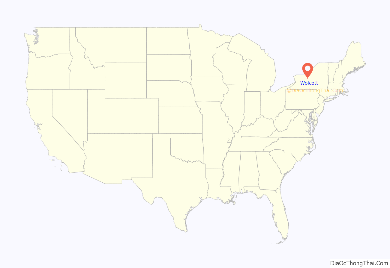
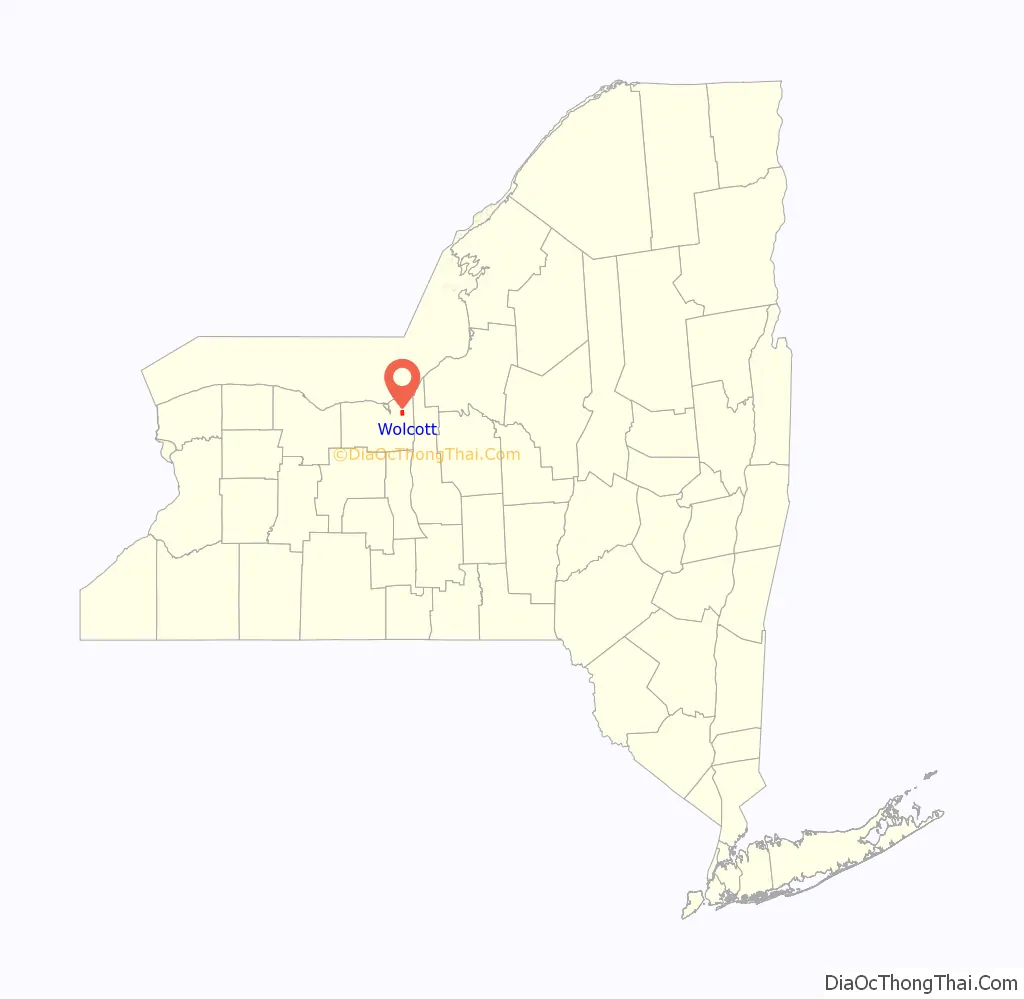
Wolcott location map. Where is Wolcott village?
History
The land where the village is now located was purchased in 1805 by Jonathan Melvin.
The area was settled by people from New England.
The village was first incorporated in 1852 and re-incorporated in 1873.
In the years 1874, 1876, 1879, and 1884 the village experienced major destructive fires.
A statue of “Venus arising from the sea” was purchased for $875 in 1913 to mark a public drinking fountain at a natural spring. This statue was one of six and still stands proudly in the center of the village.
Wolcott means “wolf’s denn or cottage”
The Wolcott Square Historic District was listed on the National Register of Historic Places in 2001.
Wolcott Road Map
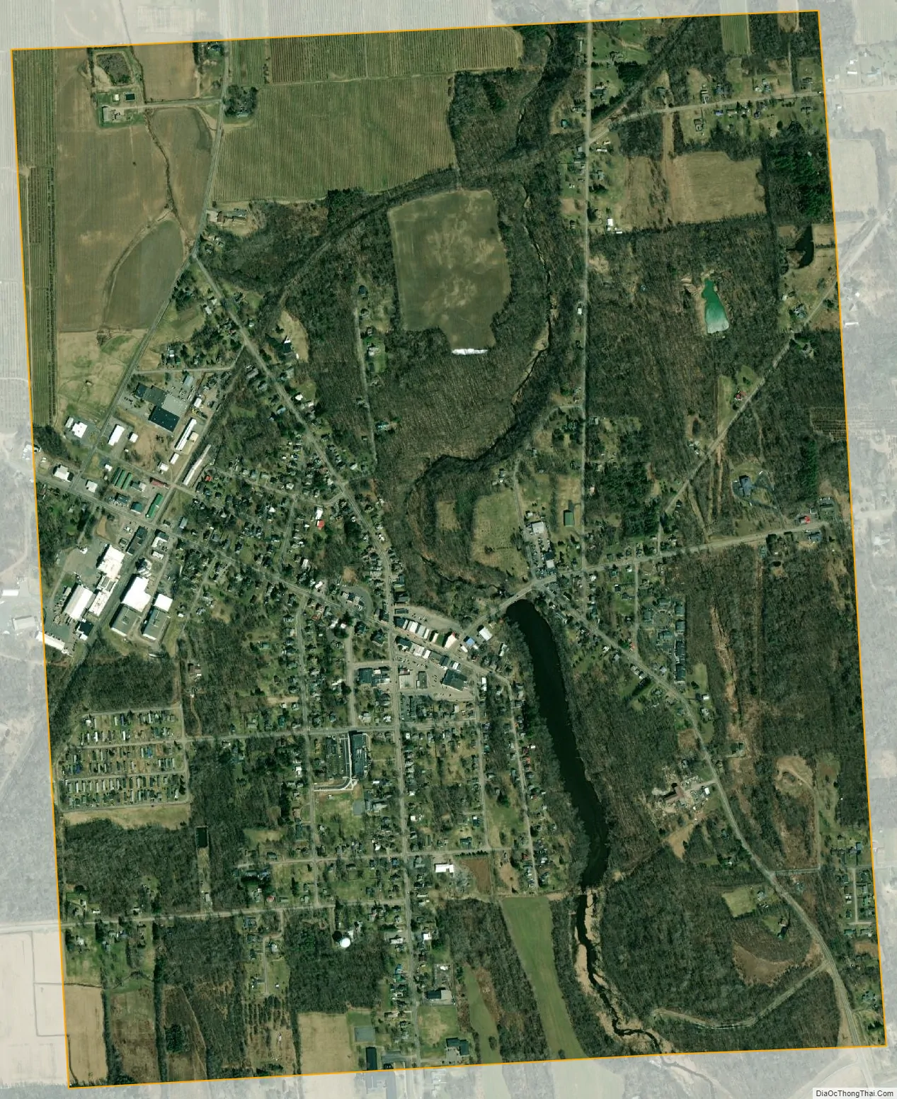
Wolcott city Satellite Map
Geography
According to the United States Census Bureau, the village has a total area of 2.0 square miles (5.1 km), of which 2.0 square miles (5.1 km) is land and 0.04 square mile (0.1 km) (1.02%) is water.
Wolcott Creek flows northward through the village and empties into Port Bay, an arm of Lake Ontario.
County Roads 155, 160, 163 (Ridge Road, Old Route 104), and 261 converge on the village. New York State Route 104 and New York State Route 89 pass immediately south of the village.
See also
Map of New York State and its subdivision:- Albany
- Allegany
- Bronx
- Broome
- Cattaraugus
- Cayuga
- Chautauqua
- Chemung
- Chenango
- Clinton
- Columbia
- Cortland
- Delaware
- Dutchess
- Erie
- Essex
- Franklin
- Fulton
- Genesee
- Greene
- Hamilton
- Herkimer
- Jefferson
- Kings
- Lake Ontario
- Lewis
- Livingston
- Madison
- Monroe
- Montgomery
- Nassau
- New York
- Niagara
- Oneida
- Onondaga
- Ontario
- Orange
- Orleans
- Oswego
- Otsego
- Putnam
- Queens
- Rensselaer
- Richmond
- Rockland
- Saint Lawrence
- Saratoga
- Schenectady
- Schoharie
- Schuyler
- Seneca
- Steuben
- Suffolk
- Sullivan
- Tioga
- Tompkins
- Ulster
- Warren
- Washington
- Wayne
- Westchester
- Wyoming
- Yates
- Alabama
- Alaska
- Arizona
- Arkansas
- California
- Colorado
- Connecticut
- Delaware
- District of Columbia
- Florida
- Georgia
- Hawaii
- Idaho
- Illinois
- Indiana
- Iowa
- Kansas
- Kentucky
- Louisiana
- Maine
- Maryland
- Massachusetts
- Michigan
- Minnesota
- Mississippi
- Missouri
- Montana
- Nebraska
- Nevada
- New Hampshire
- New Jersey
- New Mexico
- New York
- North Carolina
- North Dakota
- Ohio
- Oklahoma
- Oregon
- Pennsylvania
- Rhode Island
- South Carolina
- South Dakota
- Tennessee
- Texas
- Utah
- Vermont
- Virginia
- Washington
- West Virginia
- Wisconsin
- Wyoming