Woodridge is a village in Sullivan County, New York, United States. The population was 847 at the 2010 census. The village is in the town of Fallsburg at the junction of county routes 53, 54, 58, and 158. The Woodridge ZIP Code is 12789.
| Name: | Woodridge village |
|---|---|
| LSAD Code: | 47 |
| LSAD Description: | village (suffix) |
| State: | New York |
| County: | Sullivan County |
| Founded: | 1911, as Centerville |
| Elevation: | 1,120 ft (340 m) |
| Total Area: | 1.78 sq mi (4.60 km²) |
| Land Area: | 1.67 sq mi (4.34 km²) |
| Water Area: | 0.10 sq mi (0.26 km²) |
| Total Population: | 747 |
| Population Density: | 446.24/sq mi (172.31/km²) |
| ZIP code: | 12789 |
| Area code: | 845 |
| FIPS code: | 3682953 |
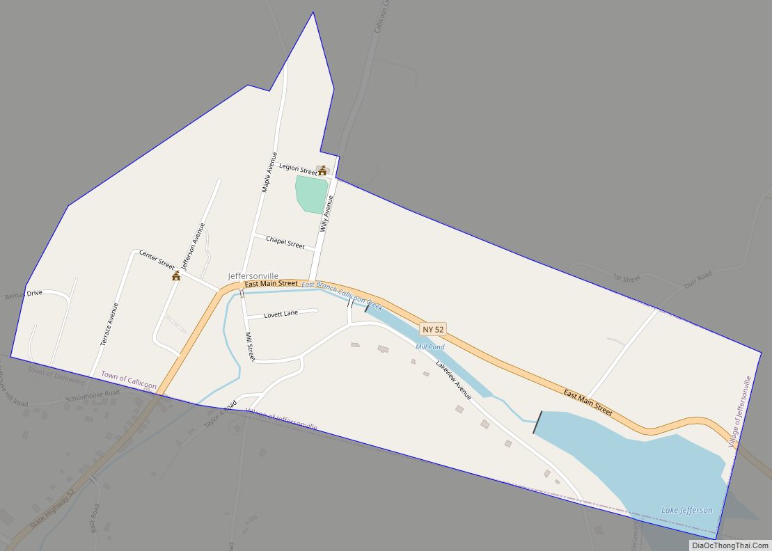
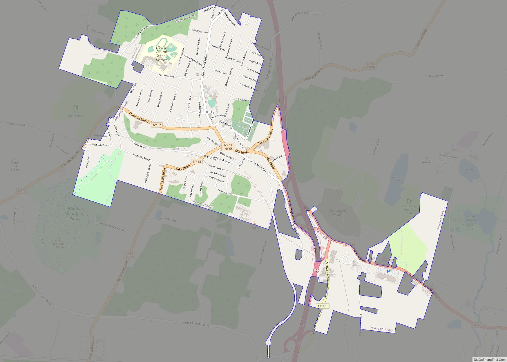
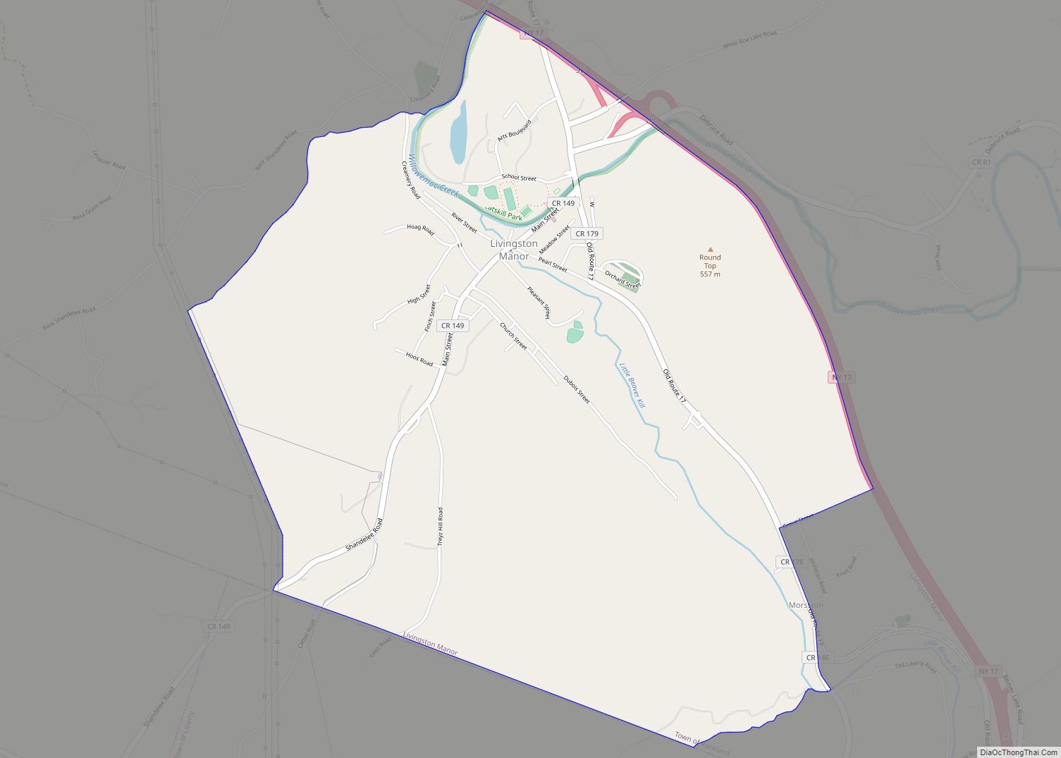
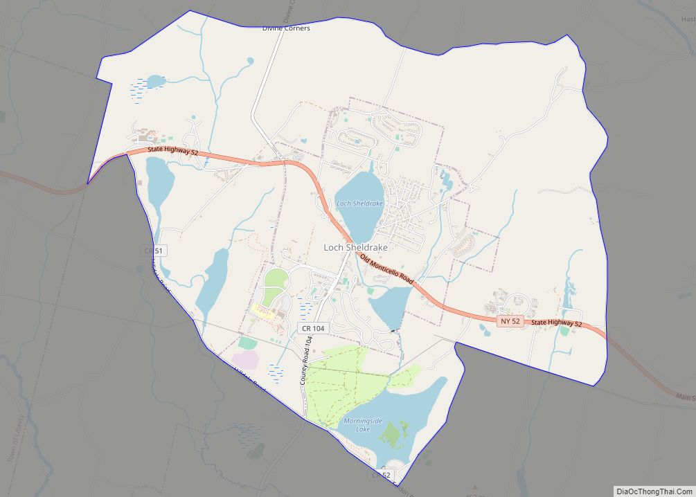
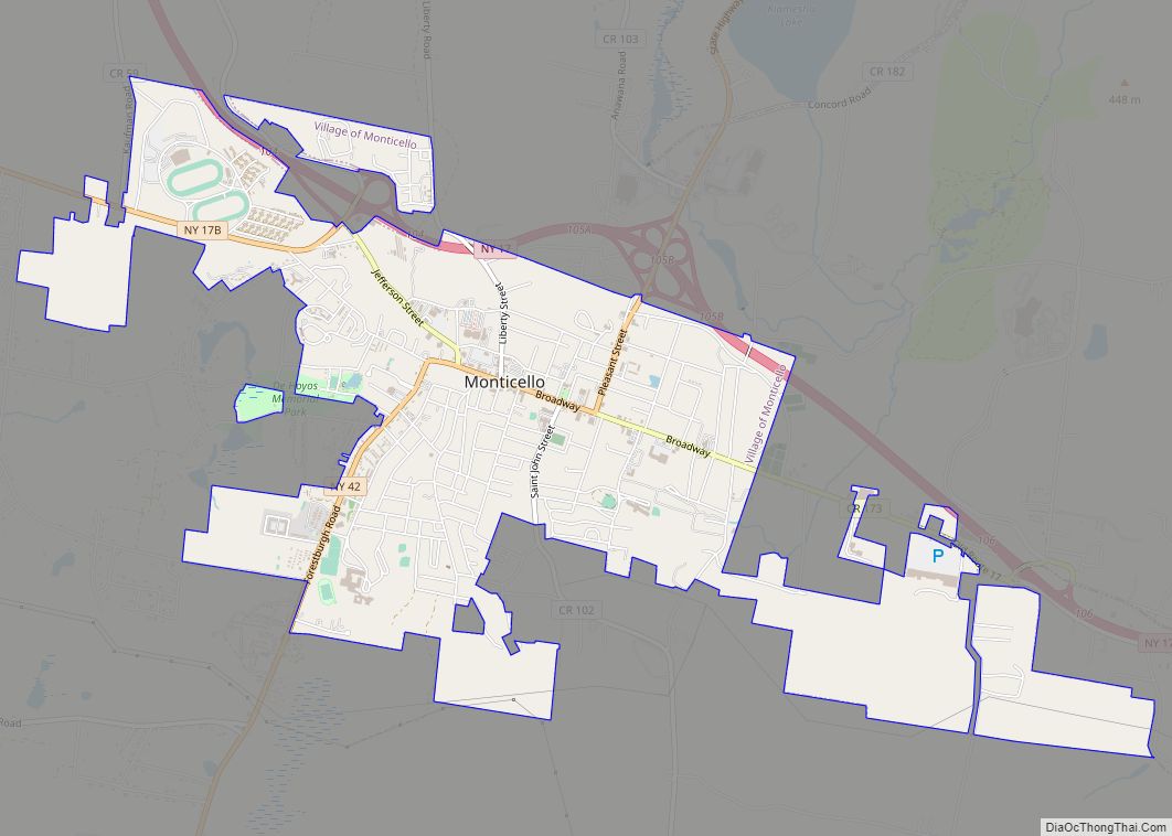
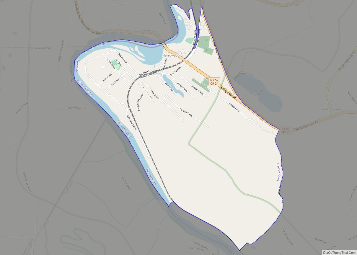
Online Interactive Map
Click on ![]() to view map in "full screen" mode.
to view map in "full screen" mode.
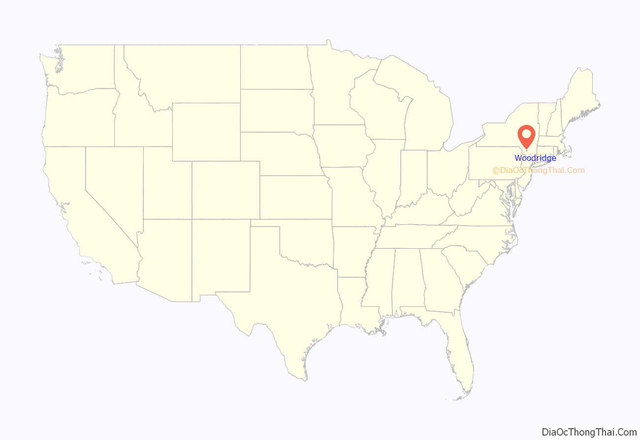
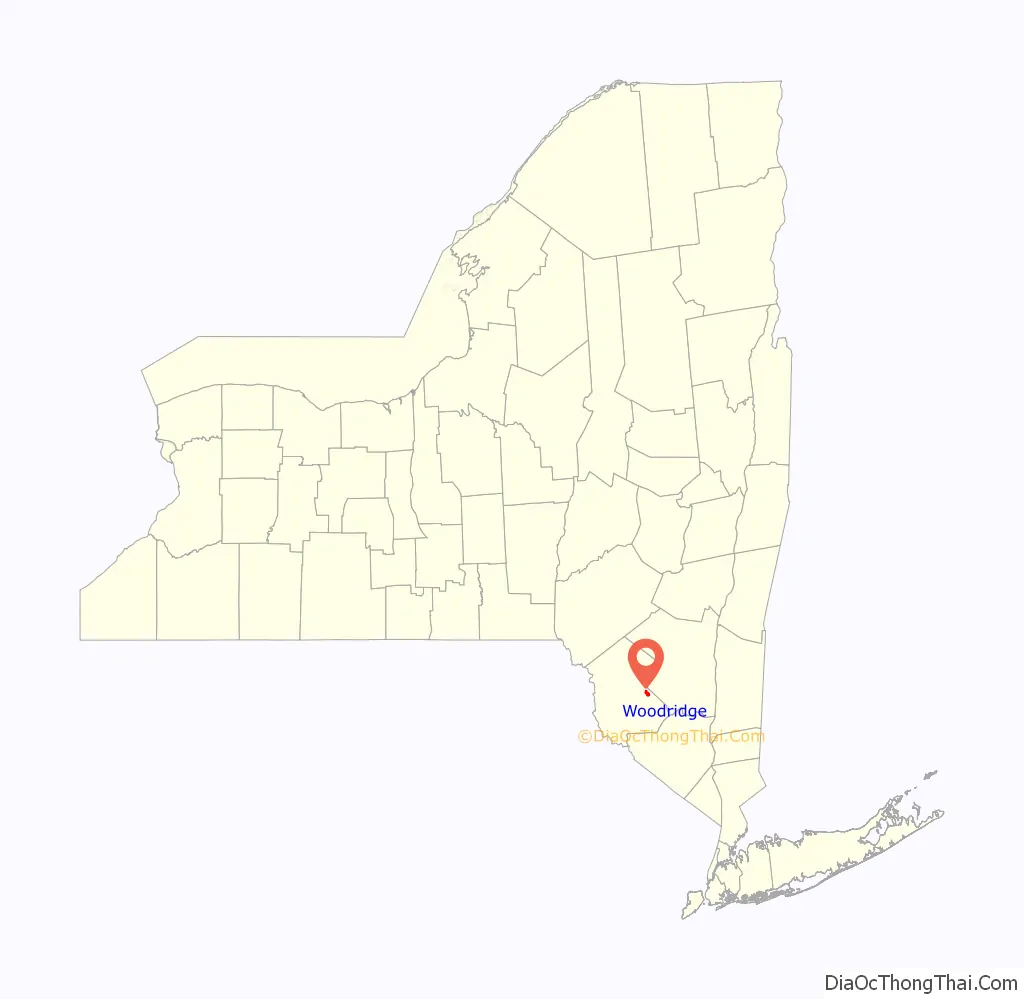
Woodridge location map. Where is Woodridge village?
History
The village was formerly called “Centreville”. A history of the village, Centreville to Woodridge by Erna W. Elliott, was published by Exposition Press in 1976. Centreville was a station stop along the old New York, Ontario and Western Railway.
Woodridge is located in the Catskills Borscht Belt resort area. In its heyday it was home to numerous summer hotels, bungalow colonies, and boarding houses. Fallsburgh Central School’s high school was in Woodridge. The last graduating class was in 1958. The new high school was built in Fallsburg.
During the 1950s, Woodridge had:
- 4 bars
- 3 hardware stores
- 2 dental offices
- 1 amusement business
- 6 gasoline stations
- 3 produce markets
- 2 bus lines
- 5 automobile repair shops
- 5 groceries
- 1 fish market
- 2 taxi services
- 2 dry cleaners
- 4 luncheonettes
- 2 drug stores
- 1 bank
- 1 movie theatre
- 3 clothing stores
- 1 liquor store
- 1 shoe store
- 1 steam laundry
- 2 barber shops
- 3 automobile dealerships
- 1 mattress manufacturer
- 3 butcher shops
- 2 medical doctor’s offices
- 3 lumber yards
1- bakery- Mortmans
In addition, there were numerous trades and professionals, including painters, a plumber, electricians, masons, carpenters, auto body repair, CPAs, architects, lawyers, flooring contractors, sign painters and chicken dealers.
A small percentage of the permanent population is still Orthodox Jewish. There are two active synagogues in Woodridge:
- Ohave Shalom Synagogue was listed on the National Register of Historic Places in 2000.
- K’hal Yerim of Woodridge on 25 Highland Avenue was founded in 1985 by the Grand Rabbi Yitzchok Lebovits.
On July 16, 2010, an eruv was erected in Woodridge under the supervision of Rabbi Yechiel Steinmetz of Monsey, New York. Rabbi Yechiel Steinmetz’s eruv was functional only for that summer.
Silver Lake Dam was listed on the National Register of Historic Places in 2000.
Notable former hotels in Woodridge
- Palms Hotel
- Olympic Hotel
- Avon Lodge
- Glory Hotel
- Hotel Israel (Fischel Kleinberg’s)
- Vegetarian Hotel (Konviser family)
- The Biltmore
- Sunny Oaks
- The Claremore Country Club
- Sunny Acres Dude Ranch
- The Rosemond
- The Alamac Country Club
- Rubinstein’s Hotel
- Saperstein’s Bungalow’s
- Hotel Weingerson
- Shein’s Hotel
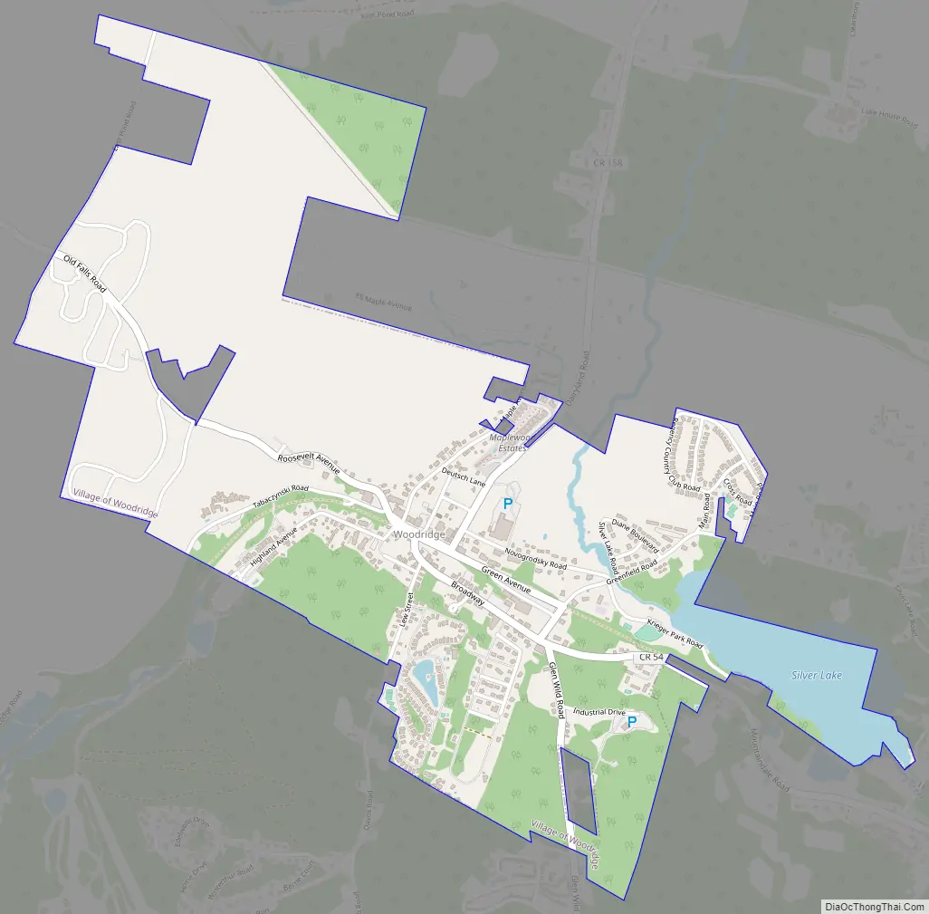
Woodridge Road Map
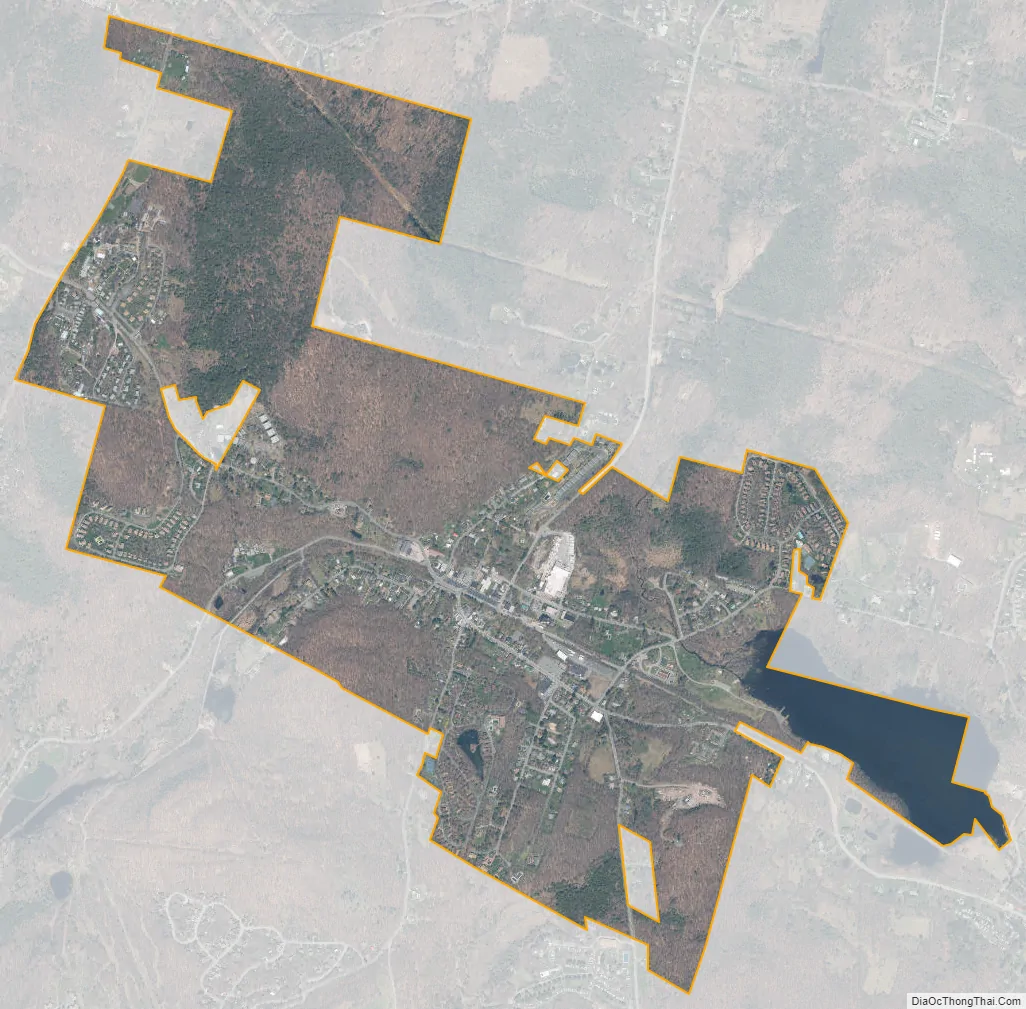
Woodridge city Satellite Map
Geography
Woodridge is located at 41°42′29″N 74°34′11″W / 41.70806°N 74.56972°W / 41.70806; -74.56972 (41.708062, -74.569809). Woodridge is bordered by the Hamlet of Fallsburg or Old Falls, the Hamlet of Mountaindale, and the Hamlet of Glen Wild.
According to the United States Census Bureau, the village has a total area of 1.6 square miles (4.1 km), of which 1.5 square miles (3.9 km) is land and 0.1 square miles (0.26 km) (6.10%) is water.
See also
Map of New York State and its subdivision:- Albany
- Allegany
- Bronx
- Broome
- Cattaraugus
- Cayuga
- Chautauqua
- Chemung
- Chenango
- Clinton
- Columbia
- Cortland
- Delaware
- Dutchess
- Erie
- Essex
- Franklin
- Fulton
- Genesee
- Greene
- Hamilton
- Herkimer
- Jefferson
- Kings
- Lake Ontario
- Lewis
- Livingston
- Madison
- Monroe
- Montgomery
- Nassau
- New York
- Niagara
- Oneida
- Onondaga
- Ontario
- Orange
- Orleans
- Oswego
- Otsego
- Putnam
- Queens
- Rensselaer
- Richmond
- Rockland
- Saint Lawrence
- Saratoga
- Schenectady
- Schoharie
- Schuyler
- Seneca
- Steuben
- Suffolk
- Sullivan
- Tioga
- Tompkins
- Ulster
- Warren
- Washington
- Wayne
- Westchester
- Wyoming
- Yates
- Alabama
- Alaska
- Arizona
- Arkansas
- California
- Colorado
- Connecticut
- Delaware
- District of Columbia
- Florida
- Georgia
- Hawaii
- Idaho
- Illinois
- Indiana
- Iowa
- Kansas
- Kentucky
- Louisiana
- Maine
- Maryland
- Massachusetts
- Michigan
- Minnesota
- Mississippi
- Missouri
- Montana
- Nebraska
- Nevada
- New Hampshire
- New Jersey
- New Mexico
- New York
- North Carolina
- North Dakota
- Ohio
- Oklahoma
- Oregon
- Pennsylvania
- Rhode Island
- South Carolina
- South Dakota
- Tennessee
- Texas
- Utah
- Vermont
- Virginia
- Washington
- West Virginia
- Wisconsin
- Wyoming