Wyoming is a village in Wyoming County, New York, United States. As of the 2010 census, the village has a total population of 434.
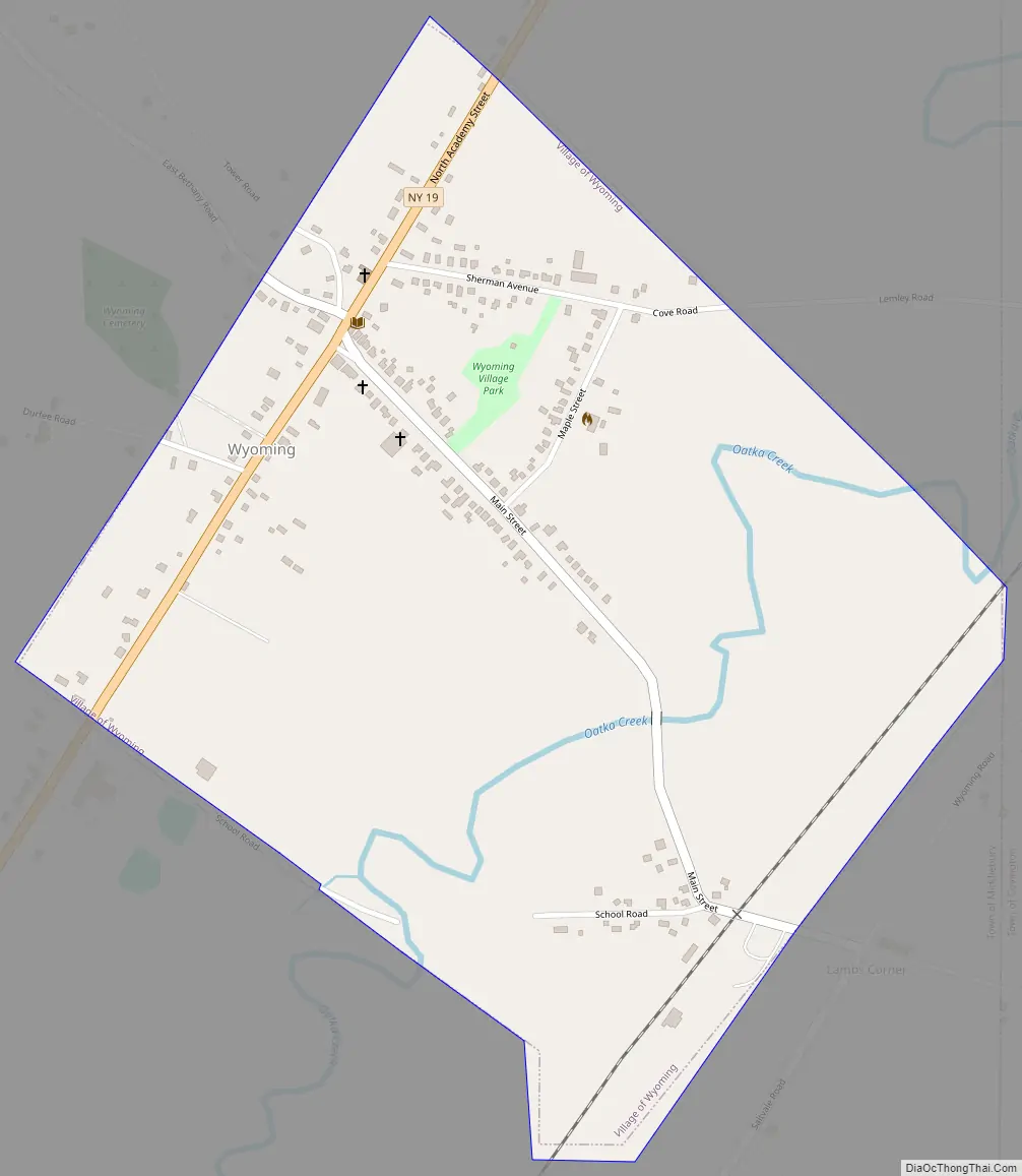
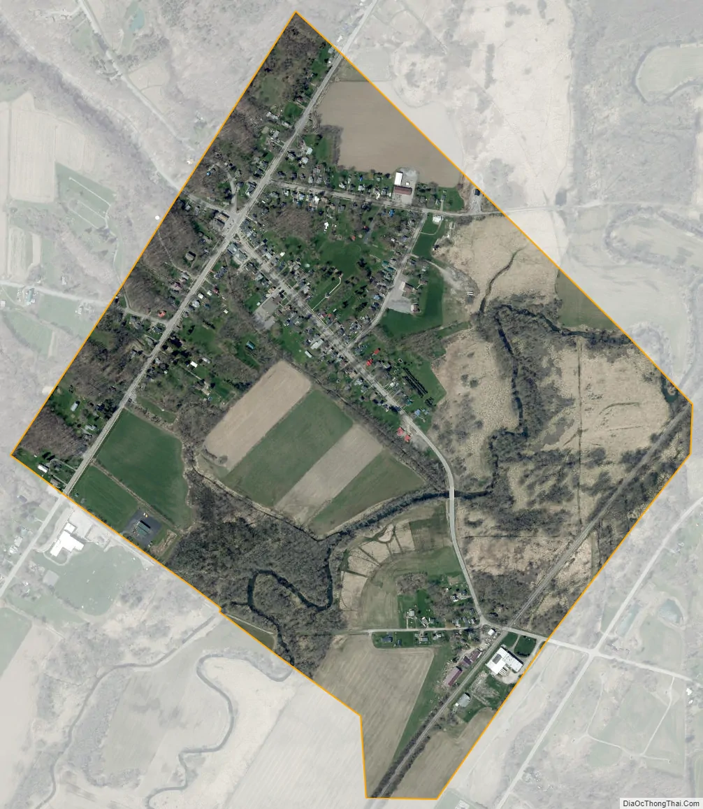
The Village of Wyoming lies within the Town of Middlebury by the eastern town line. Wyoming is located on New York State Route 19.
| Name: | Wyoming village |
|---|---|
| LSAD Code: | 47 |
| LSAD Description: | village (suffix) |
| State: | New York |
| County: | Wyoming County |
| Incorporated: | July 31, 1875 (1875-07-31) |
| Elevation: | 988 ft (301 m) |
| Total Area: | 0.70 sq mi (1.80 km²) |
| Land Area: | 0.70 sq mi (1.80 km²) |
| Water Area: | 0.00 sq mi (0.00 km²) |
| Total Population: | 377 |
| Population Density: | 540.89/sq mi (208.91/km²) |
| ZIP code: | 14591 |
| Area code: | 585 |
| FIPS code: | 3683371 |
| GNISfeature ID: | 0971788 |
| Website: | www.middleburyny.com |
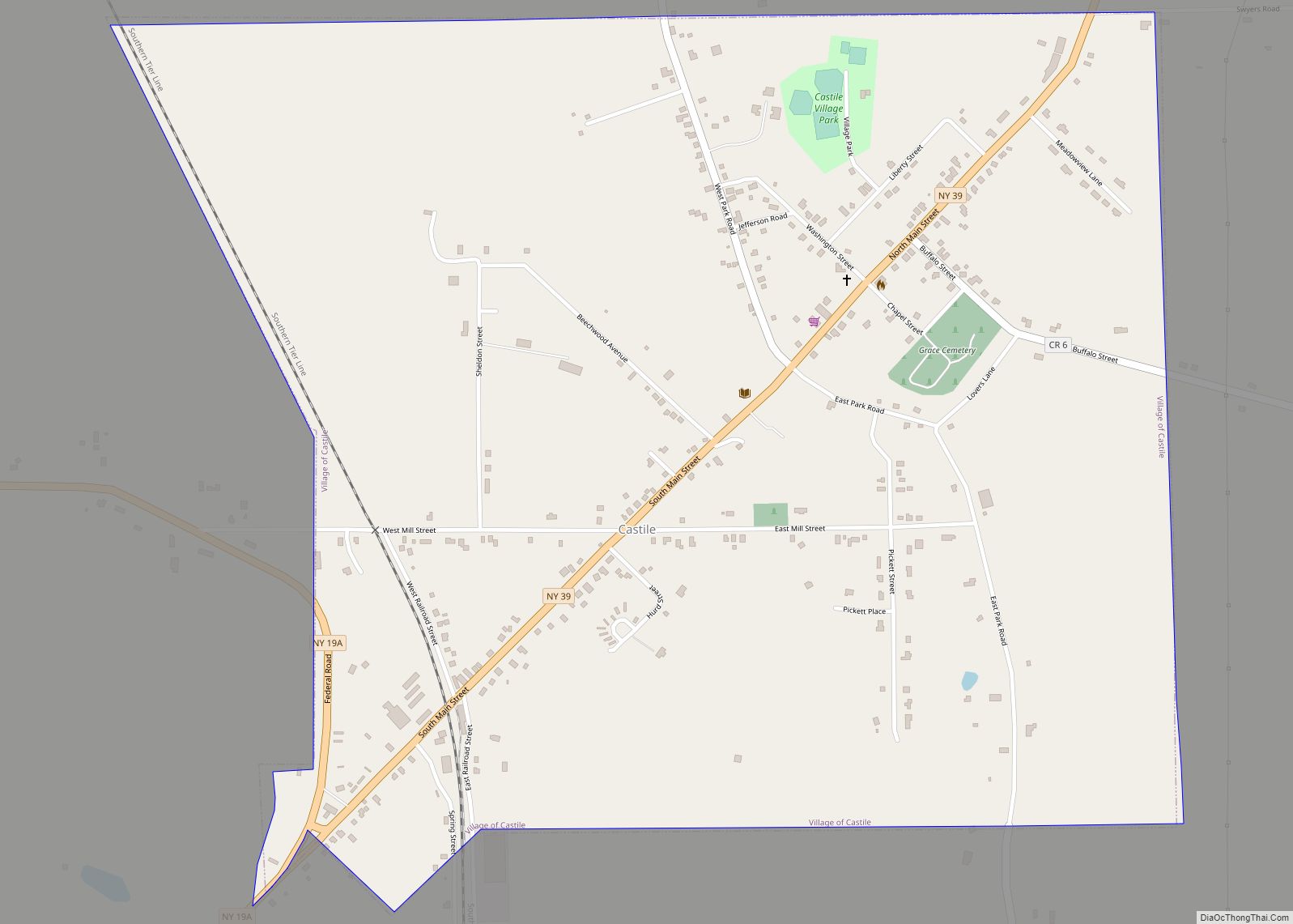
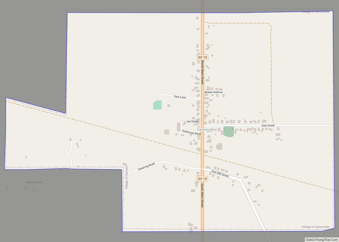
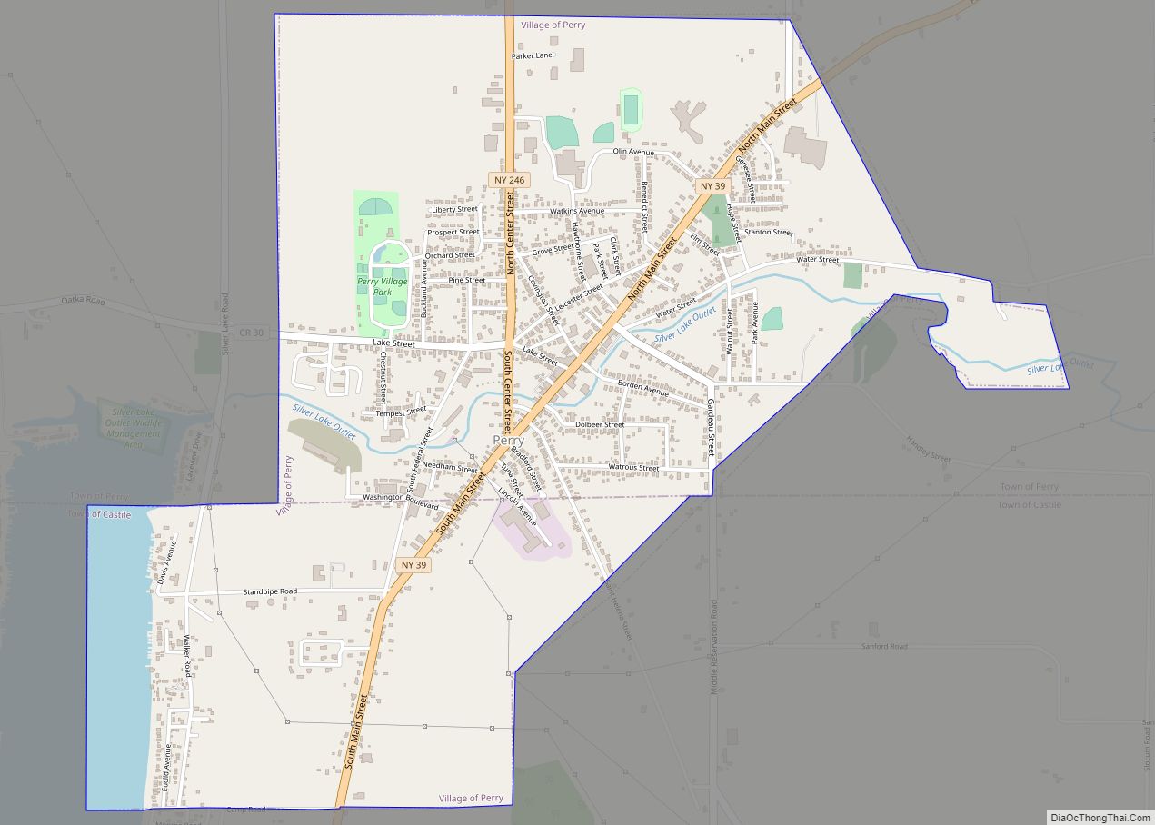
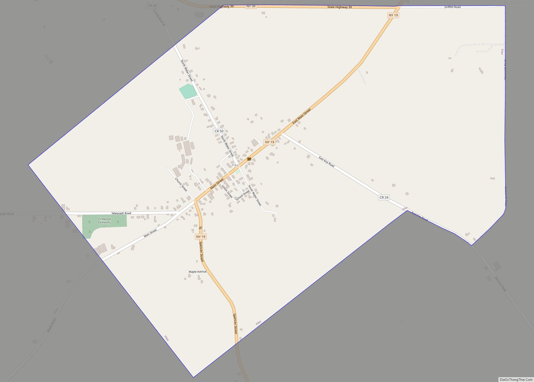
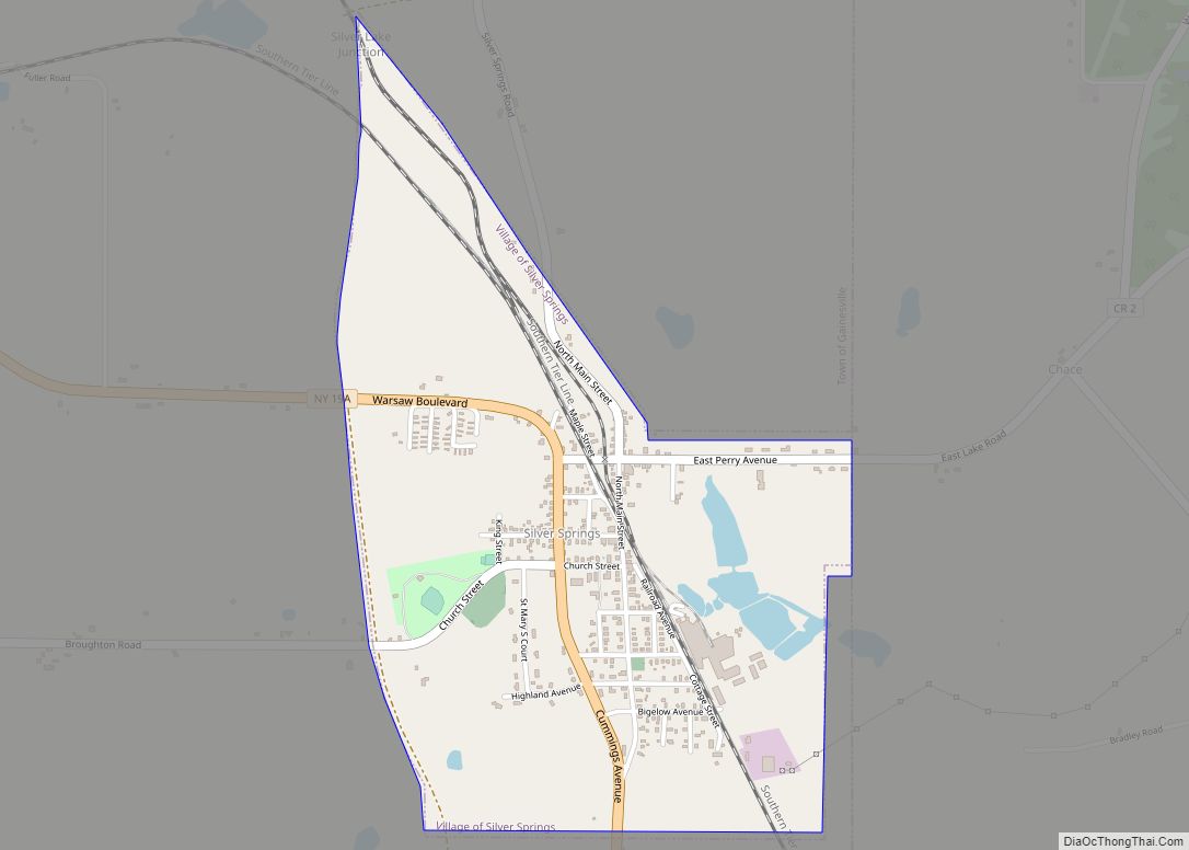
Online Interactive Map
Click on ![]() to view map in "full screen" mode.
to view map in "full screen" mode.
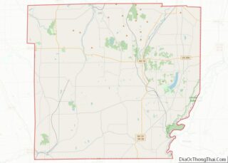
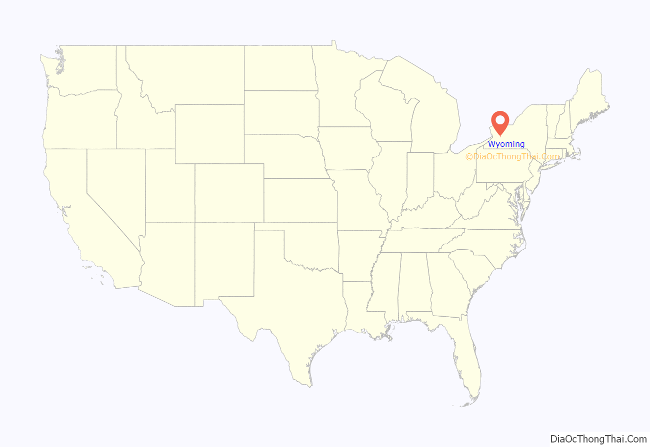
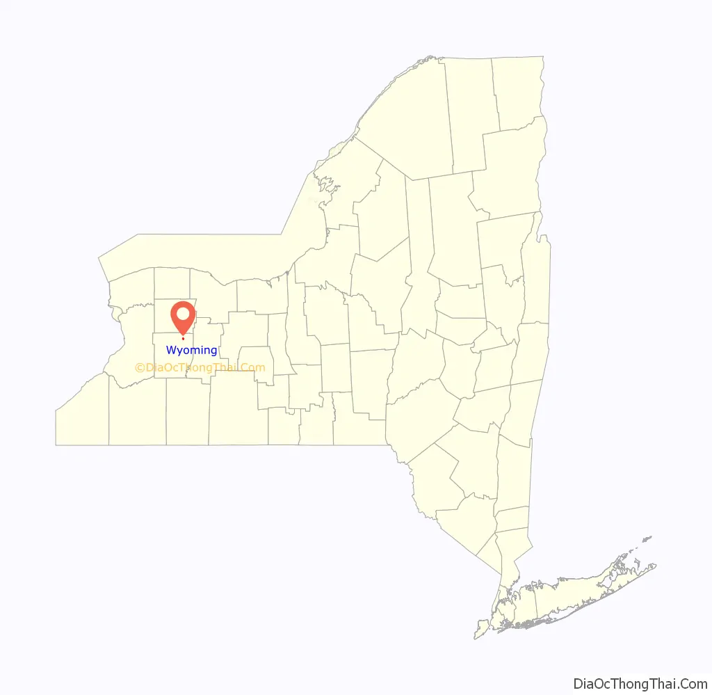
Wyoming location map. Where is Wyoming village?
History
The Village of Newell’s Settlement was founded in 1809 by Silas Newell. It was later renamed to Wyoming in 1829, to be incorporated in 1875. However, on Revolutionary War muster roll taken for March, April, May, and June 1779, of Lieutenant Colonel William Smith’s company, a regiment of foot it states the regiment was mustered in Wyoming. Signed and dated by Nehemiah Wade, D.C.M. on June 30, 1779. It was one of the earliest locations where natural gas was developed. While the field was never a large producer, it still provides gas for the village streetlights and some homes to this day. The downtown historic district is known as the “Gaslight Village.”
Middlebury Academy was built in 1817 and was chartered by the NY Regents in 1819, and is believed to be the first institution of higher education west of the Genesee in New York. It still stands in downtown Wyoming, maintained as a museum by the Middlebury Historical Society. It is listed on the National Register of Historic Places as of 1980. Also on the National Register of Historic Places are the Bryant Fleming House and Wyoming Village Historic District.
Another historic place is Hillside Inn, a classic Greek revival mansion built by Dr. Pliny Hayes as a Water Cure establishment in 1851. It overlooks the Village of Wyoming, and until 2012, was a bed and breakfast inn. The Hillside Inn was auctioned on August 17, 2012, at 3:00 p.m. by Bontrager Auctioneers. It also has been a spa (with mineral springs) and has hosted many famous people including Susan B. Anthony, John Muir, and Presidents Theodore and Franklin D. Roosevelt.
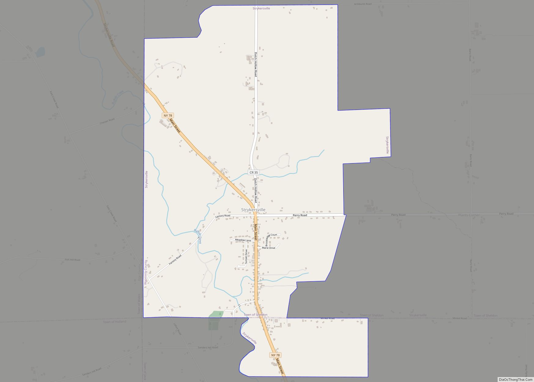
Wyoming Road Map
Wyoming city Satellite Map
Geography
Wyoming is located at 42°49′31″N 78°5′7″W / 42.82528°N 78.08528°W / 42.82528; -78.08528 (42.825204, -78.085227).
Oatka Creek flows northward past the east side of the village.
According to the United States Census Bureau, the village has a total area of 0.7 square miles (1.8 km), all land.
Climate
See also
Map of New York State and its subdivision:- Albany
- Allegany
- Bronx
- Broome
- Cattaraugus
- Cayuga
- Chautauqua
- Chemung
- Chenango
- Clinton
- Columbia
- Cortland
- Delaware
- Dutchess
- Erie
- Essex
- Franklin
- Fulton
- Genesee
- Greene
- Hamilton
- Herkimer
- Jefferson
- Kings
- Lake Ontario
- Lewis
- Livingston
- Madison
- Monroe
- Montgomery
- Nassau
- New York
- Niagara
- Oneida
- Onondaga
- Ontario
- Orange
- Orleans
- Oswego
- Otsego
- Putnam
- Queens
- Rensselaer
- Richmond
- Rockland
- Saint Lawrence
- Saratoga
- Schenectady
- Schoharie
- Schuyler
- Seneca
- Steuben
- Suffolk
- Sullivan
- Tioga
- Tompkins
- Ulster
- Warren
- Washington
- Wayne
- Westchester
- Wyoming
- Yates
- Alabama
- Alaska
- Arizona
- Arkansas
- California
- Colorado
- Connecticut
- Delaware
- District of Columbia
- Florida
- Georgia
- Hawaii
- Idaho
- Illinois
- Indiana
- Iowa
- Kansas
- Kentucky
- Louisiana
- Maine
- Maryland
- Massachusetts
- Michigan
- Minnesota
- Mississippi
- Missouri
- Montana
- Nebraska
- Nevada
- New Hampshire
- New Jersey
- New Mexico
- New York
- North Carolina
- North Dakota
- Ohio
- Oklahoma
- Oregon
- Pennsylvania
- Rhode Island
- South Carolina
- South Dakota
- Tennessee
- Texas
- Utah
- Vermont
- Virginia
- Washington
- West Virginia
- Wisconsin
- Wyoming