Yorkshire is a census-designated place (CDP) in the northeastern corner of the town of Yorkshire in Cattaraugus County, New York, United States. The population of the CDP was 1,180 at the 2010 census, out of 3,913 in the town of Yorkshire as a whole.
| Name: | Yorkshire CDP |
|---|---|
| LSAD Code: | 57 |
| LSAD Description: | CDP (suffix) |
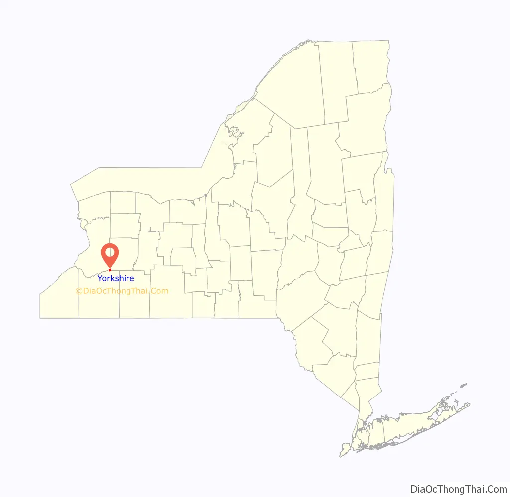
| State: | New York |
| County: | Cattaraugus County |
| Elevation: | 1,434 ft (437 m) |
| Total Area: | 1.85 sq mi (4.80 km²) |
| Land Area: | 1.84 sq mi (4.78 km²) |
| Water Area: | 0.01 sq mi (0.03 km²) |
| Total Population: | 1,176 |
| Population Density: | 637.40/sq mi (246.12/km²) |
| ZIP code: | 14173 |
| Area code: | 716 |
| FIPS code: | 3684044 |
| GNISfeature ID: | 0971837 |
Online Interactive Map
Click on ![]() to view map in "full screen" mode.
to view map in "full screen" mode.
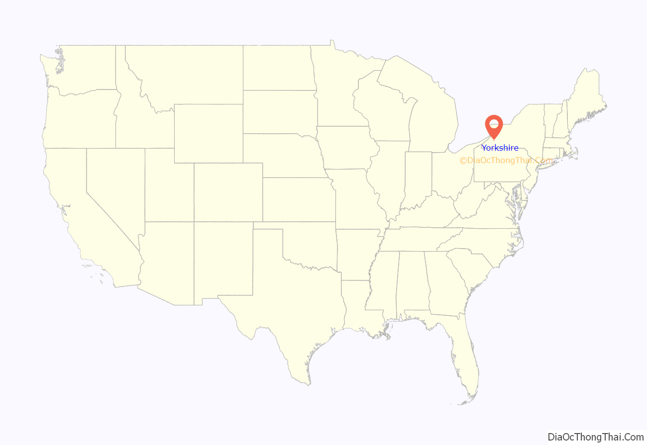
Yorkshire location map. Where is Yorkshire CDP?
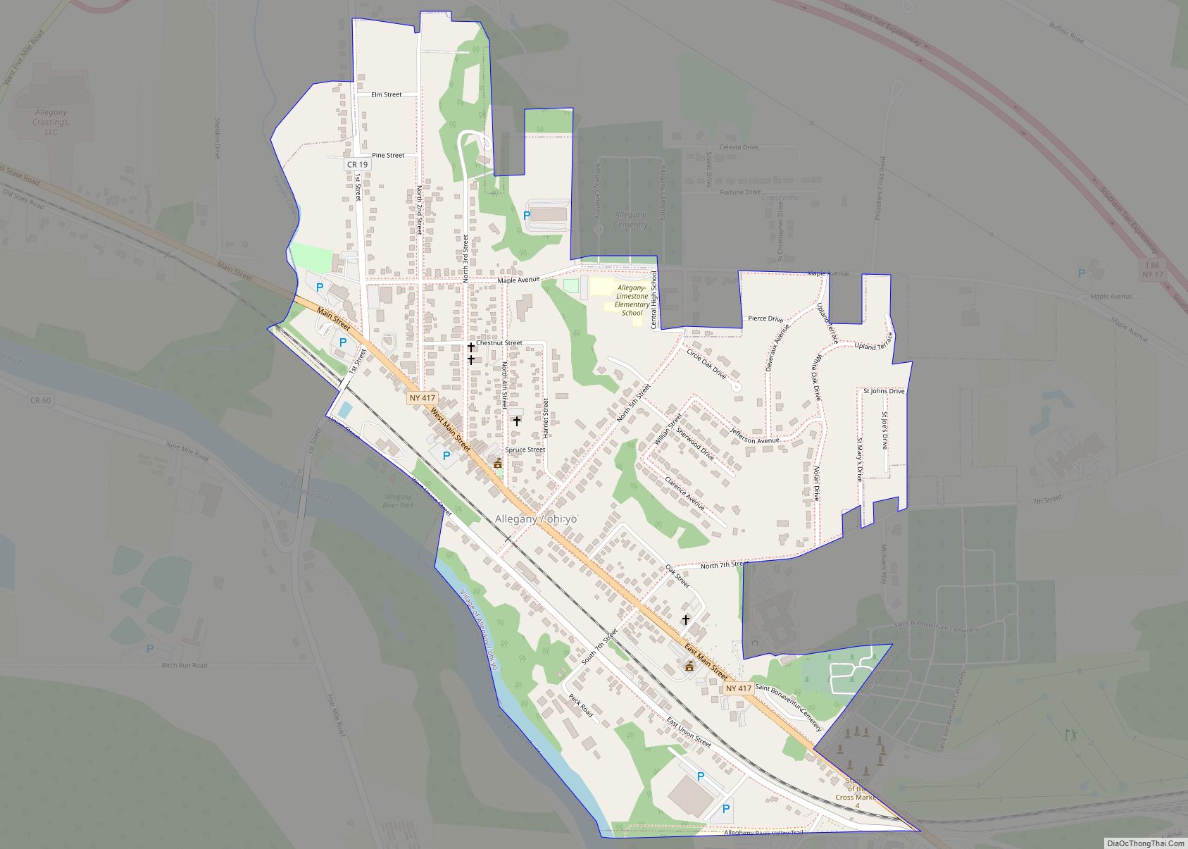
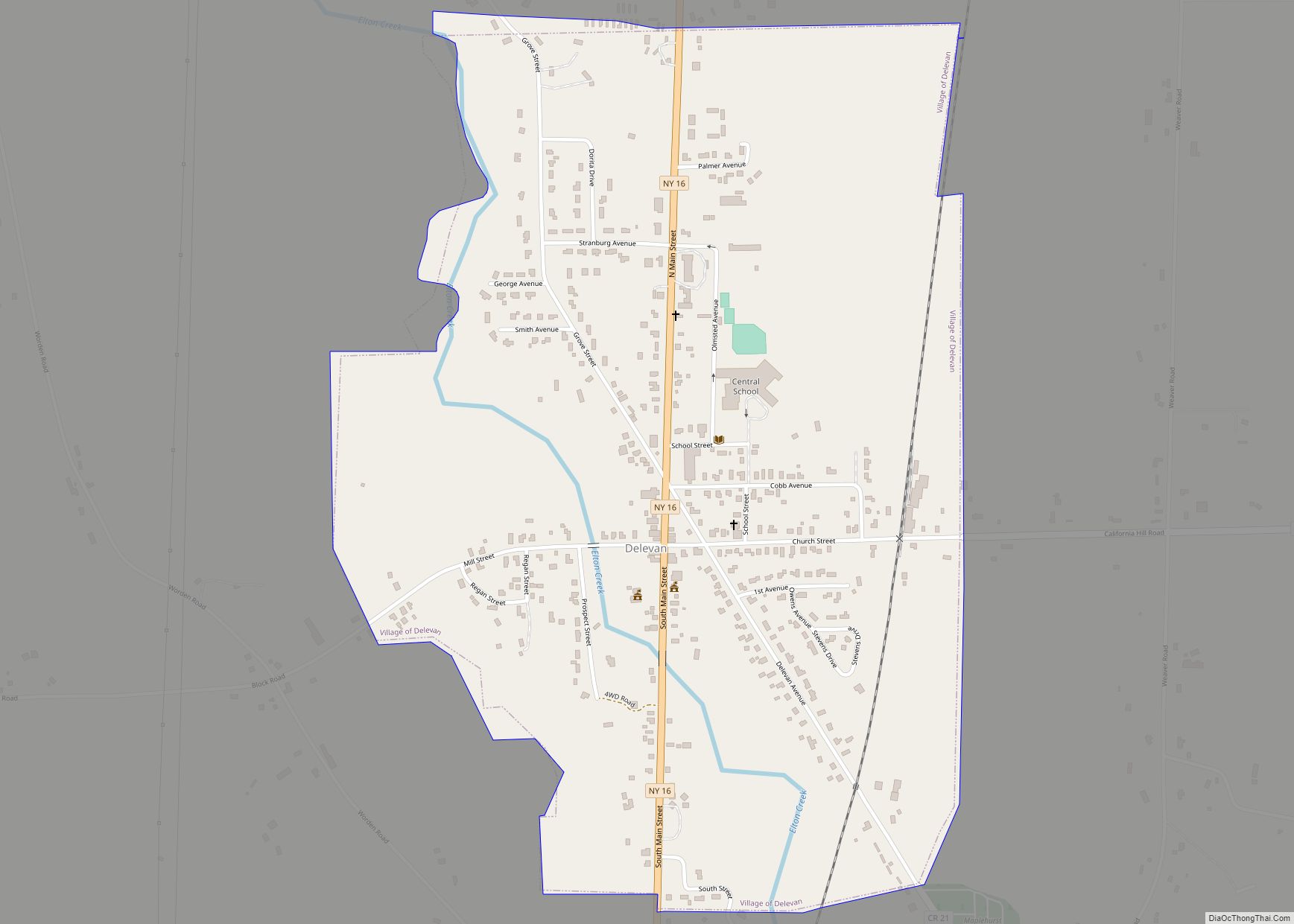
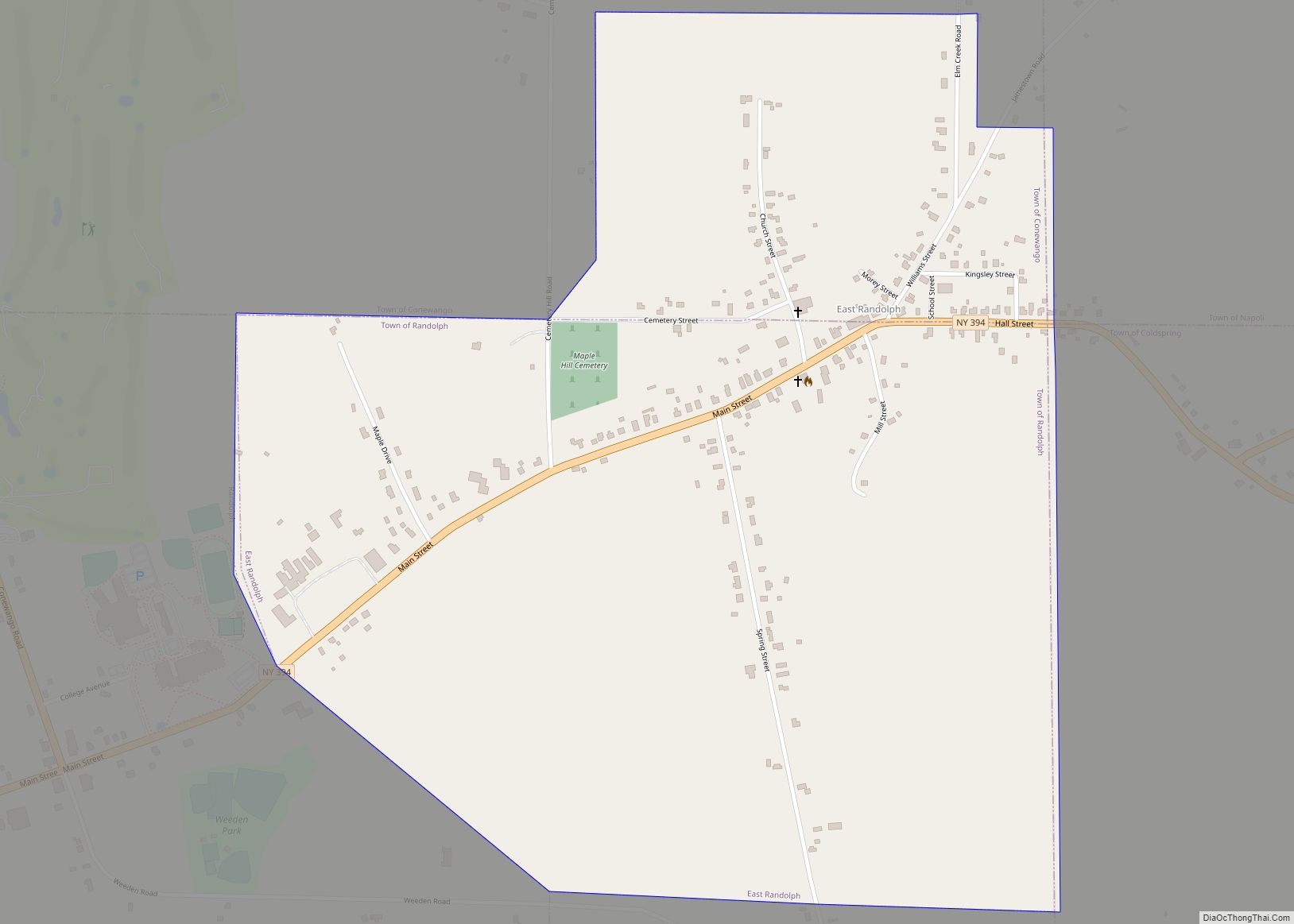
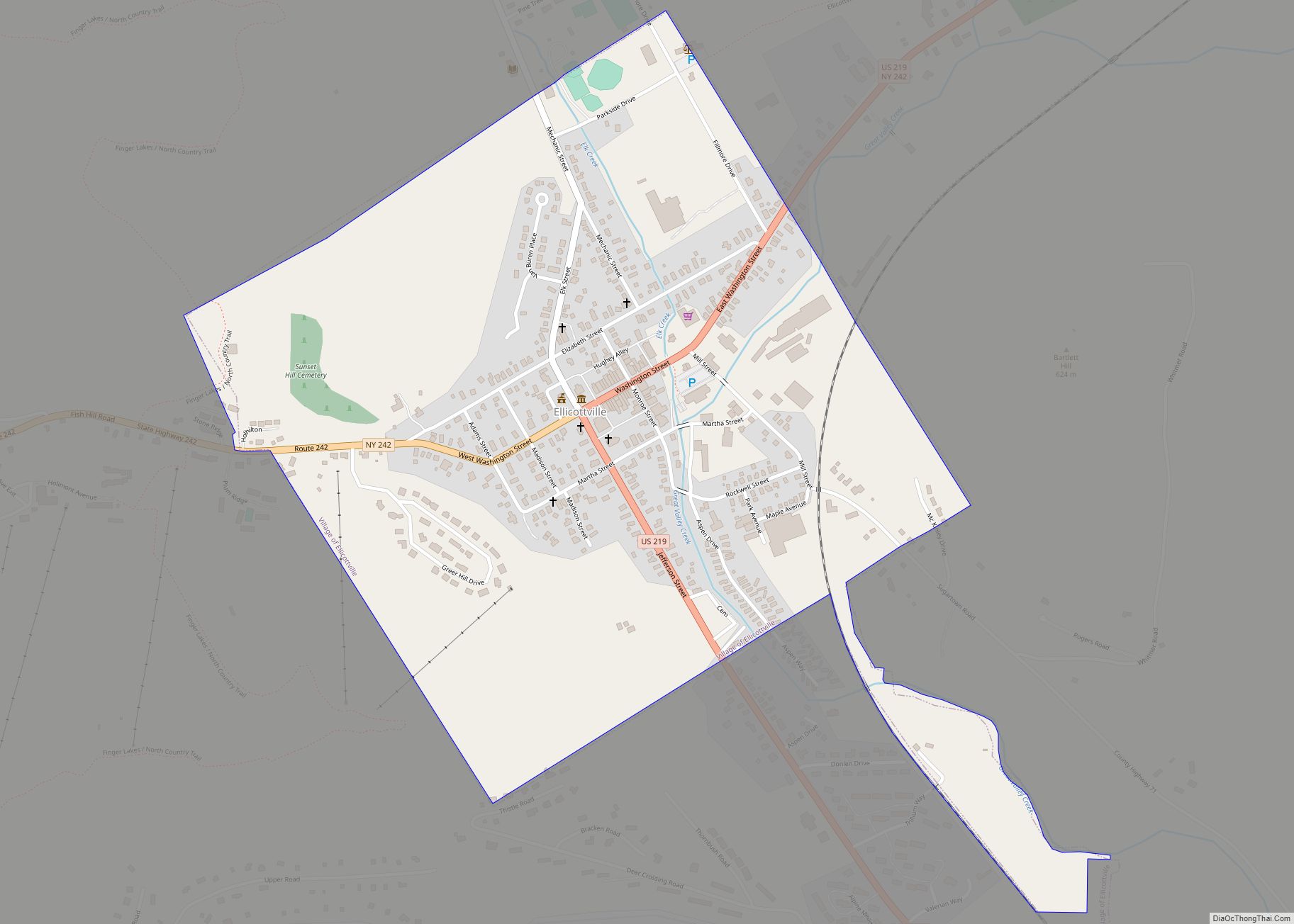
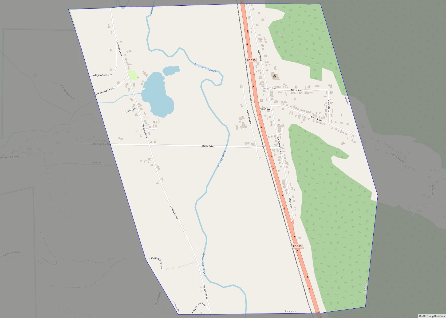
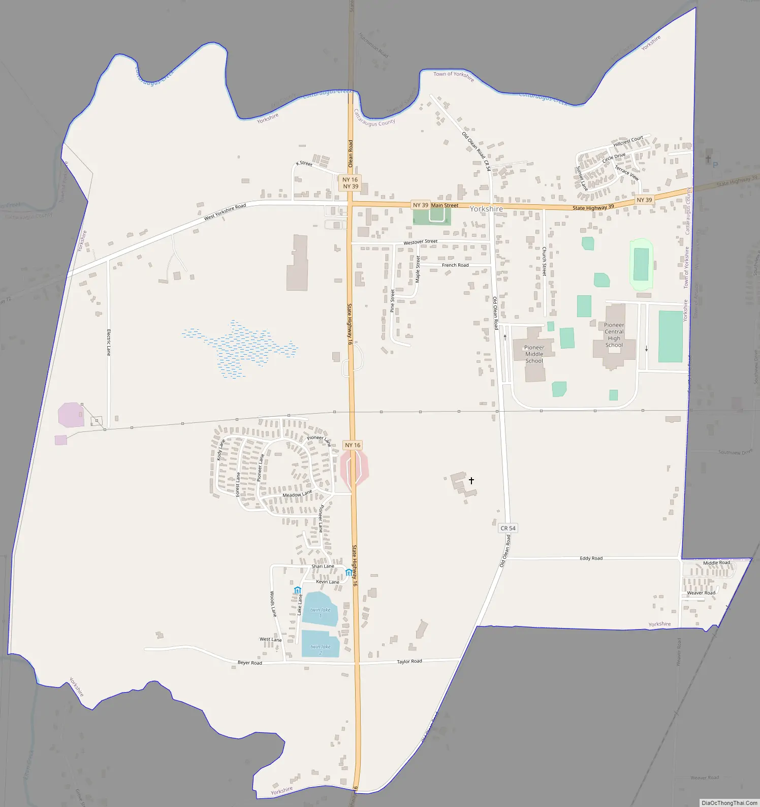
Yorkshire Road Map
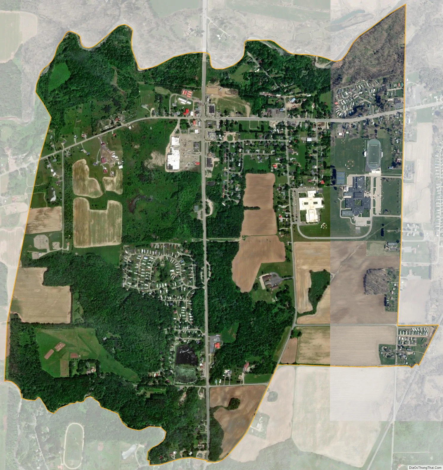
Yorkshire city Satellite Map
Geography
Yorkshire CDP is located at 42°31′20″N 78°28′31″W / 42.52222°N 78.47528°W / 42.52222; -78.47528 (42.522493, -78.475295).
According to the United States Census Bureau, the CDP has a total area of 1.9 square miles (4.8 km), of which 0.01 square miles (0.03 km), or 0.56%, is water.
Yorkshire is on the south bank of Cattaraugus Creek and at the intersection of State Routes 16 and 39. The village of Arcade in Wyoming County is 2 miles (3 km) to the east on NY 39. County Roads 54 and 72 also lead into Yorkshire.
See also
Map of New York State and its subdivision:- Albany
- Allegany
- Bronx
- Broome
- Cattaraugus
- Cayuga
- Chautauqua
- Chemung
- Chenango
- Clinton
- Columbia
- Cortland
- Delaware
- Dutchess
- Erie
- Essex
- Franklin
- Fulton
- Genesee
- Greene
- Hamilton
- Herkimer
- Jefferson
- Kings
- Lake Ontario
- Lewis
- Livingston
- Madison
- Monroe
- Montgomery
- Nassau
- New York
- Niagara
- Oneida
- Onondaga
- Ontario
- Orange
- Orleans
- Oswego
- Otsego
- Putnam
- Queens
- Rensselaer
- Richmond
- Rockland
- Saint Lawrence
- Saratoga
- Schenectady
- Schoharie
- Schuyler
- Seneca
- Steuben
- Suffolk
- Sullivan
- Tioga
- Tompkins
- Ulster
- Warren
- Washington
- Wayne
- Westchester
- Wyoming
- Yates
- Alabama
- Alaska
- Arizona
- Arkansas
- California
- Colorado
- Connecticut
- Delaware
- District of Columbia
- Florida
- Georgia
- Hawaii
- Idaho
- Illinois
- Indiana
- Iowa
- Kansas
- Kentucky
- Louisiana
- Maine
- Maryland
- Massachusetts
- Michigan
- Minnesota
- Mississippi
- Missouri
- Montana
- Nebraska
- Nevada
- New Hampshire
- New Jersey
- New Mexico
- New York
- North Carolina
- North Dakota
- Ohio
- Oklahoma
- Oregon
- Pennsylvania
- Rhode Island
- South Carolina
- South Dakota
- Tennessee
- Texas
- Utah
- Vermont
- Virginia
- Washington
- West Virginia
- Wisconsin
- Wyoming