Alliance is a city in eastern Stark County, Ohio, United States. With a small district lying in adjacent Mahoning County, the city is approximately 16 miles (26 km) northeast of Canton, 27 miles (43 km) southwest of Youngstown and 51 miles (82 km) southeast of Cleveland. The population was 21,672 as of the 2020 census.
Alliance was established in 1854 by the merger of three smaller communities. The city was a manufacturing and railroad hub for much of the 20th century and is also associated with the state flower of Ohio, the scarlet carnation, and is known as “The Carnation City.” The University of Mount Union, a private liberal arts college established in 1846, is located in Alliance. Most of the city is part of the Canton–Massillon metropolitan area.
| Name: | Alliance city |
|---|---|
| LSAD Code: | 25 |
| LSAD Description: | city (suffix) |
| State: | Ohio |
| County: | Mahoning County, Stark County |
| Elevation: | 1,158 ft (353 m) |
| Total Area: | 9.06 sq mi (23.46 km²) |
| Land Area: | 9.01 sq mi (23.34 km²) |
| Water Area: | 0.04 sq mi (0.12 km²) |
| Total Population: | 21,672 |
| Population Density: | 2,404.79/sq mi (928.52/km²) |
| ZIP code: | 44601 |
| Area code: | 330, 234 |
| FIPS code: | 3901420 |
| GNISfeature ID: | 1064313 |
| Website: | www.cityofalliance.com |
Online Interactive Map
Click on ![]() to view map in "full screen" mode.
to view map in "full screen" mode.
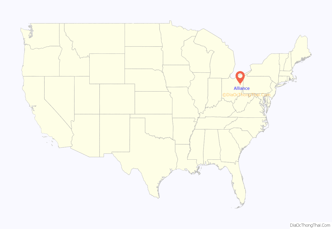
Alliance location map. Where is Alliance city?
History
Alliance was founded in 1854 by the merger of three smaller communities called Williamsport, formed in 1827, Freedom, formed in 1838, and Liberty, formed in 1850 to act as a station and support hub for the Cleveland and Pittsburgh Railroad. A fourth community, Mount Union, was added in 1888. Alliance was incorporated as a city in 1889.
There are two popular theories regarding the origin of the city’s name. One holds that it was chosen because of the “alliance” of three small settlements into a larger entity. The other theory says the name reflects the fact that two major railroad lines, the Cleveland and Pittsburgh Railroad and the Ohio and Pennsylvania Railroad, intersected at Alliance, once known as “The Crossing”.
On April 12, 1856, Alliance was directly struck by a tornado, causing extensive damage. A roof of a church was removed, and another church was moved off its foundation. A train that stopped at the Alliance Station was pushed off its rails. The destruction was estimated to be $15,000 to $20,000 (in 1856 dollars, equivalent to $603,185 in 2021). A few injuries and one fatality were confirmed.
In 1923, Alliance Rubber Company was founded in Alliance. It was the manufacturer of rubber bands after the founder cut discarded rubber rings into small strips.
Alliance’s Main Street was originally laid out to bring traffic to the train station, the heart of the city’s transportation hub. The railroads were central to industry and personal transportation, bringing in raw materials for factories and sending out finished goods. Due to this, Alliance is sometimes referred to as “the town where Main Street is a dead end.”
Alliance became a qualified Tree City USA as recognized by the National Arbor Day Foundation in 1982.
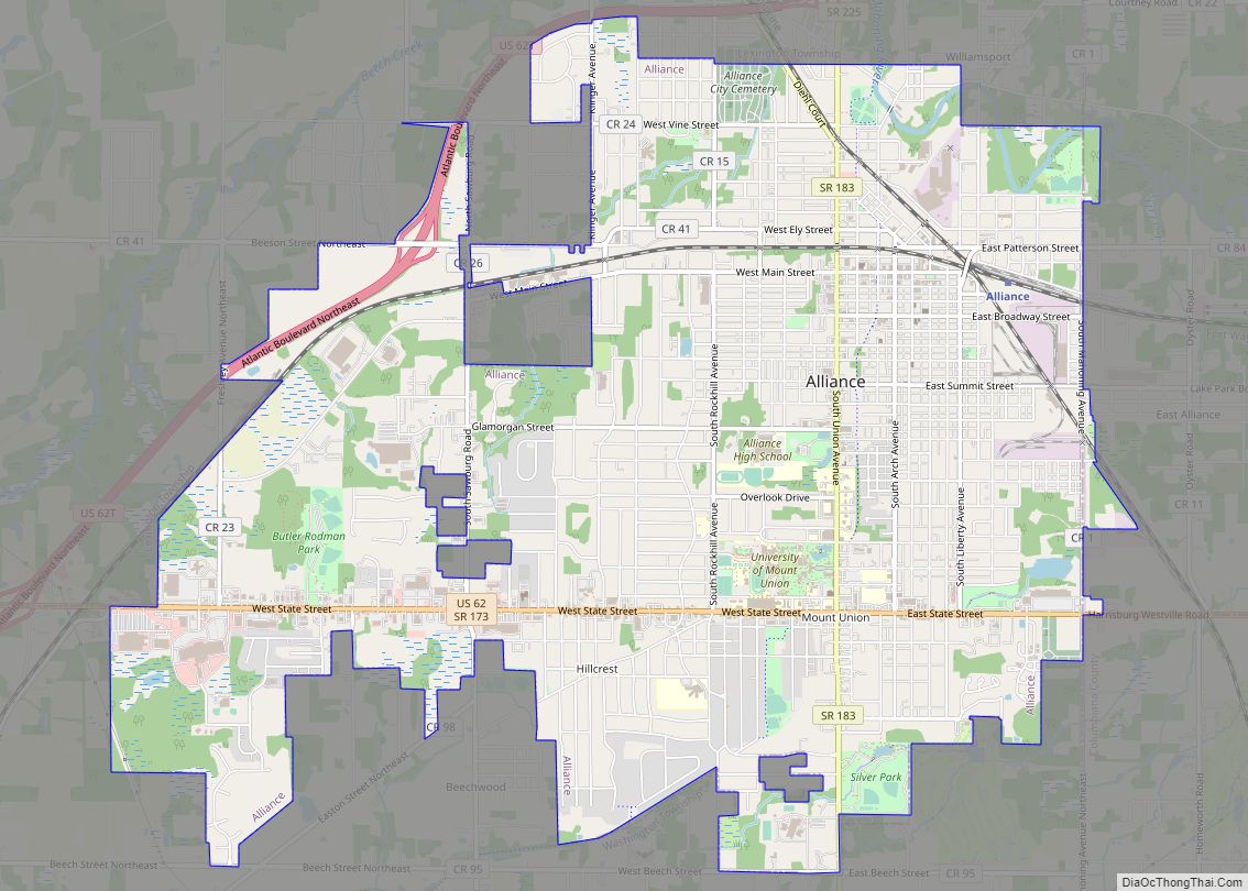
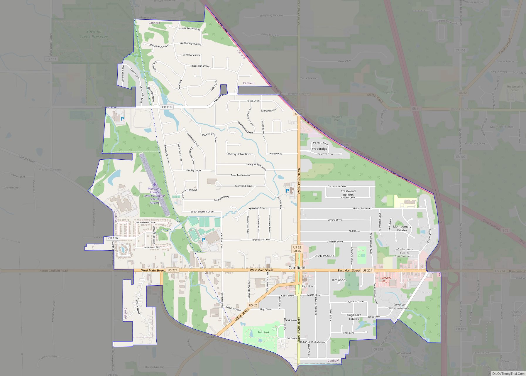
Alliance Road Map
Alliance city Satellite Map
Geography
According to the United States Census Bureau, the city has a total area of 8.96 square miles (23.21 km), of which 8.92 square miles (23.10 km) is land and 0.04 square miles (0.10 km) is water. There are no lakes within city limits, although the Mahoning River flows through the northeastern part of the city.
See also
Map of Ohio State and its subdivision:- Adams
- Allen
- Ashland
- Ashtabula
- Athens
- Auglaize
- Belmont
- Brown
- Butler
- Carroll
- Champaign
- Clark
- Clermont
- Clinton
- Columbiana
- Coshocton
- Crawford
- Cuyahoga
- Darke
- Defiance
- Delaware
- Erie
- Fairfield
- Fayette
- Franklin
- Fulton
- Gallia
- Geauga
- Greene
- Guernsey
- Hamilton
- Hancock
- Hardin
- Harrison
- Henry
- Highland
- Hocking
- Holmes
- Huron
- Jackson
- Jefferson
- Knox
- Lake
- Lake Erie
- Lawrence
- Licking
- Logan
- Lorain
- Lucas
- Madison
- Mahoning
- Marion
- Medina
- Meigs
- Mercer
- Miami
- Monroe
- Montgomery
- Morgan
- Morrow
- Muskingum
- Noble
- Ottawa
- Paulding
- Perry
- Pickaway
- Pike
- Portage
- Preble
- Putnam
- Richland
- Ross
- Sandusky
- Scioto
- Seneca
- Shelby
- Stark
- Summit
- Trumbull
- Tuscarawas
- Union
- Van Wert
- Vinton
- Warren
- Washington
- Wayne
- Williams
- Wood
- Wyandot
- Alabama
- Alaska
- Arizona
- Arkansas
- California
- Colorado
- Connecticut
- Delaware
- District of Columbia
- Florida
- Georgia
- Hawaii
- Idaho
- Illinois
- Indiana
- Iowa
- Kansas
- Kentucky
- Louisiana
- Maine
- Maryland
- Massachusetts
- Michigan
- Minnesota
- Mississippi
- Missouri
- Montana
- Nebraska
- Nevada
- New Hampshire
- New Jersey
- New Mexico
- New York
- North Carolina
- North Dakota
- Ohio
- Oklahoma
- Oregon
- Pennsylvania
- Rhode Island
- South Carolina
- South Dakota
- Tennessee
- Texas
- Utah
- Vermont
- Virginia
- Washington
- West Virginia
- Wisconsin
- Wyoming
