Baltic is a village in Coshocton, Holmes, and Tuscarawas counties in the U.S. state of Ohio. The population was 795 at the 2010 census. The Raber’s Almanac for the Amish community is published here. Baltic is also home to the garage door opener factory of The Genie Company, one of the few companies to manufacture them in the USA.
Baltic was originally called Rowville, and under the latter name was platted in 1848. Baltic became a qualified Tree City USA as recognized by the National Arbor Day Foundation in 1982.
| Name: | Baltic village |
|---|---|
| LSAD Code: | 47 |
| LSAD Description: | village (suffix) |
| State: | Ohio |
| County: | Coshocton County, Holmes County, Tuscarawas County |
| Elevation: | 1,066 ft (325 m) |
| Total Area: | 0.81 sq mi (2.10 km²) |
| Land Area: | 0.81 sq mi (2.10 km²) |
| Water Area: | 0.00 sq mi (0.00 km²) |
| Total Population: | 851 |
| Population Density: | 1,051.92/sq mi (405.93/km²) |
| ZIP code: | 43804 |
| Area code: | 330 |
| FIPS code: | 3903744 |
| GNISfeature ID: | 1064377 |
| Website: | https://www.villageofbaltic.org/ |
Online Interactive Map
Click on ![]() to view map in "full screen" mode.
to view map in "full screen" mode.
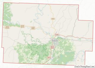
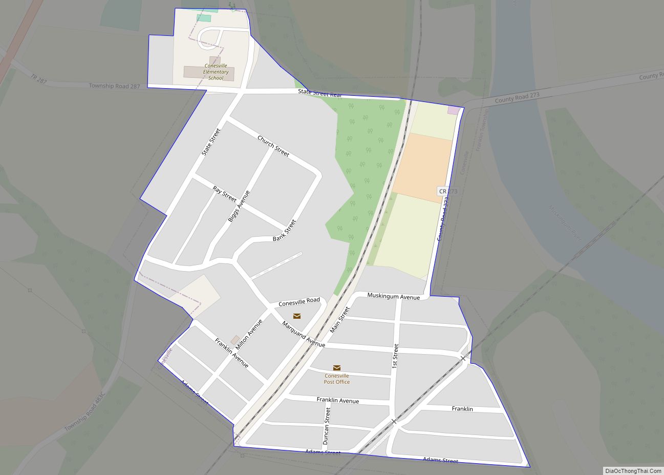
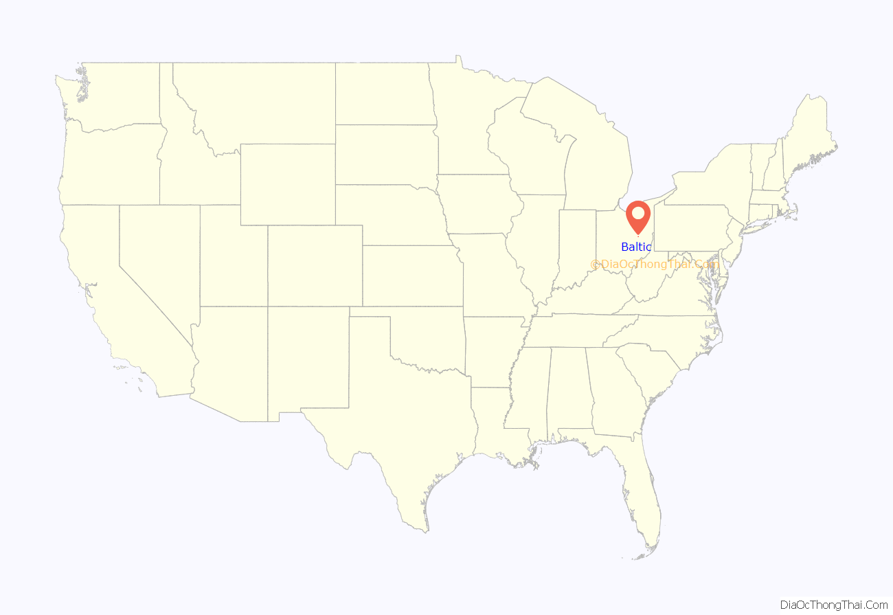
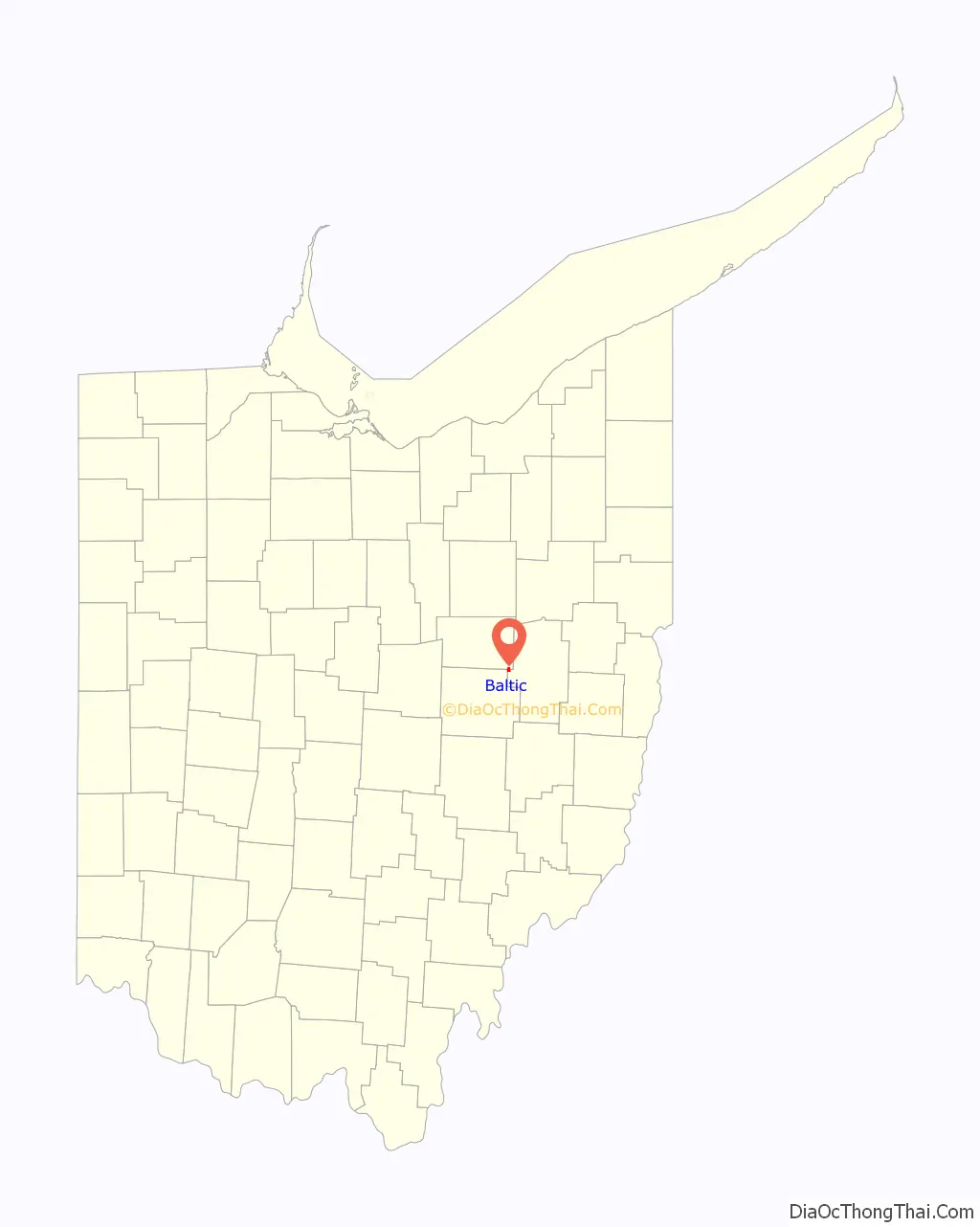
Baltic location map. Where is Baltic village?
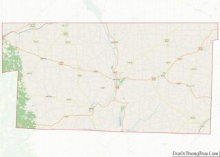
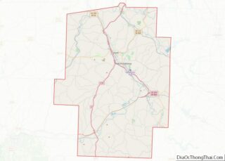
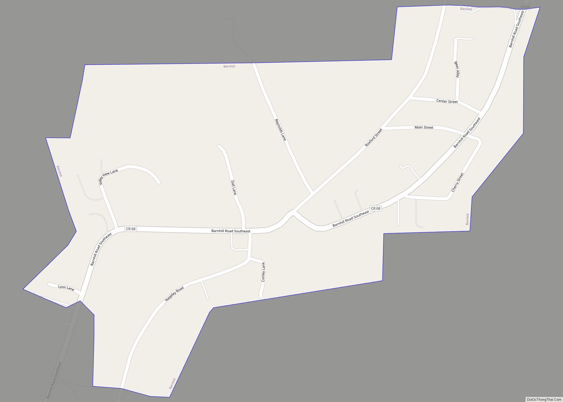
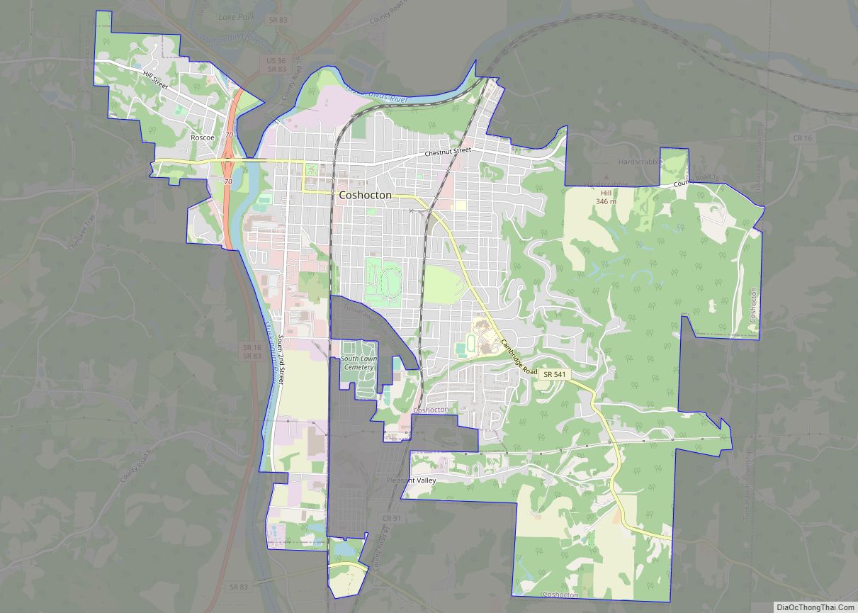
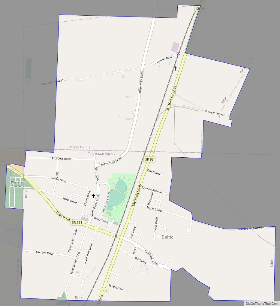
Baltic Road Map
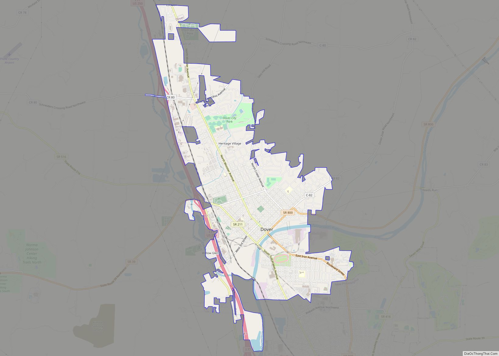
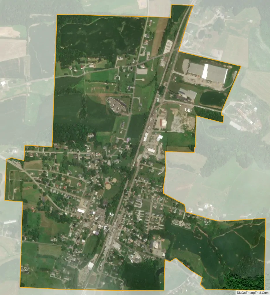
Baltic city Satellite Map
Geography
Baltic is located at 40°26′36″N 81°42′10″W / 40.44333°N 81.70278°W / 40.44333; -81.70278 (40.443367, -81.702656). According to the U.S. Census Bureau, the village has a total area of 0.80 square miles (2.07 km), all land. Baltic is one hour and forty five minutes south of Cleveland.
See also
Map of Ohio State and its subdivision:- Adams
- Allen
- Ashland
- Ashtabula
- Athens
- Auglaize
- Belmont
- Brown
- Butler
- Carroll
- Champaign
- Clark
- Clermont
- Clinton
- Columbiana
- Coshocton
- Crawford
- Cuyahoga
- Darke
- Defiance
- Delaware
- Erie
- Fairfield
- Fayette
- Franklin
- Fulton
- Gallia
- Geauga
- Greene
- Guernsey
- Hamilton
- Hancock
- Hardin
- Harrison
- Henry
- Highland
- Hocking
- Holmes
- Huron
- Jackson
- Jefferson
- Knox
- Lake
- Lake Erie
- Lawrence
- Licking
- Logan
- Lorain
- Lucas
- Madison
- Mahoning
- Marion
- Medina
- Meigs
- Mercer
- Miami
- Monroe
- Montgomery
- Morgan
- Morrow
- Muskingum
- Noble
- Ottawa
- Paulding
- Perry
- Pickaway
- Pike
- Portage
- Preble
- Putnam
- Richland
- Ross
- Sandusky
- Scioto
- Seneca
- Shelby
- Stark
- Summit
- Trumbull
- Tuscarawas
- Union
- Van Wert
- Vinton
- Warren
- Washington
- Wayne
- Williams
- Wood
- Wyandot
- Alabama
- Alaska
- Arizona
- Arkansas
- California
- Colorado
- Connecticut
- Delaware
- District of Columbia
- Florida
- Georgia
- Hawaii
- Idaho
- Illinois
- Indiana
- Iowa
- Kansas
- Kentucky
- Louisiana
- Maine
- Maryland
- Massachusetts
- Michigan
- Minnesota
- Mississippi
- Missouri
- Montana
- Nebraska
- Nevada
- New Hampshire
- New Jersey
- New Mexico
- New York
- North Carolina
- North Dakota
- Ohio
- Oklahoma
- Oregon
- Pennsylvania
- Rhode Island
- South Carolina
- South Dakota
- Tennessee
- Texas
- Utah
- Vermont
- Virginia
- Washington
- West Virginia
- Wisconsin
- Wyoming