Bolivar (/ˈbɒlɪvər/, rhymes with Oliver) is a village in Tuscarawas County, Ohio, United States. The population was 994 at the 2010 census. Bolivar is also home to Fort Laurens, the only American Revolutionary War-era fort in what is now Ohio.
| Name: | Bolivar village |
|---|---|
| LSAD Code: | 47 |
| LSAD Description: | village (suffix) |
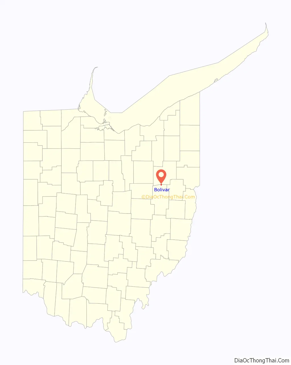
| State: | Ohio |
| County: | Tuscarawas County |
| Elevation: | 925 ft (282 m) |
| Total Area: | 0.96 sq mi (2.48 km²) |
| Land Area: | 0.95 sq mi (2.46 km²) |
| Water Area: | 0.01 sq mi (0.02 km²) |
| Total Population: | 1,000 |
| Population Density: | 1,053.74/sq mi (406.66/km²) |
| ZIP code: | 44612 |
| Area code: | 330 |
| FIPS code: | 3907594 |
| GNISfeature ID: | 1064463 |
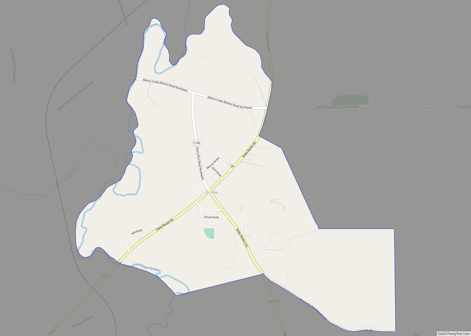
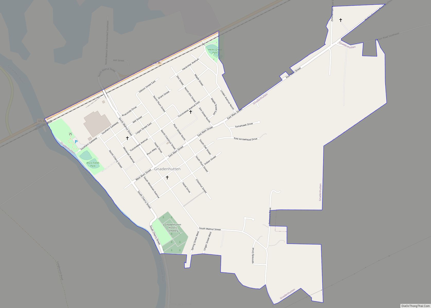
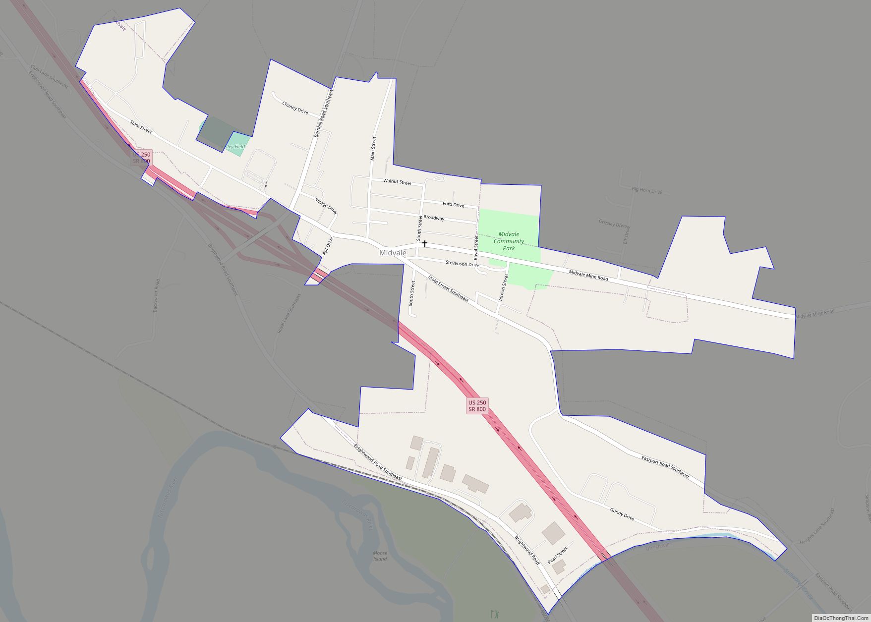
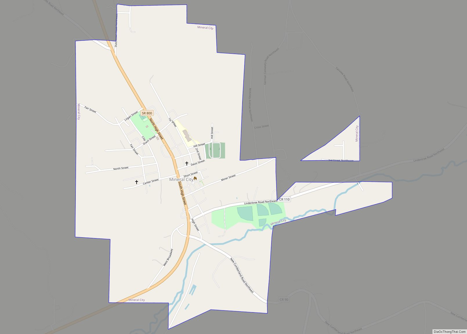
Online Interactive Map
Click on ![]() to view map in "full screen" mode.
to view map in "full screen" mode.
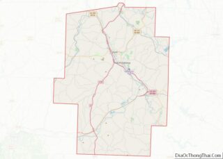
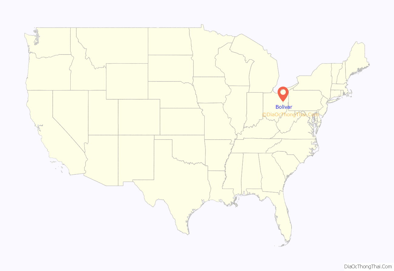
Bolivar location map. Where is Bolivar village?
History
Shingas, a Delaware Indian leader, established a village known as Shingas Town in the general vicinity of present Bolivar in 1752. In 1778, Fort Laurens was built in this same area.
Bolivar itself was platted in 1830 as part of the growth occasioned by the development of the Ohio and Erie Canal. The community was named after Simón Bolívar.
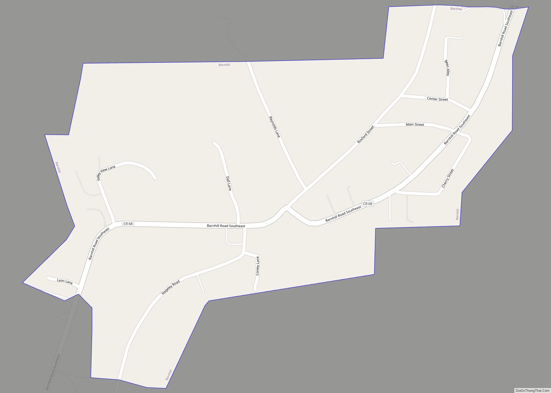
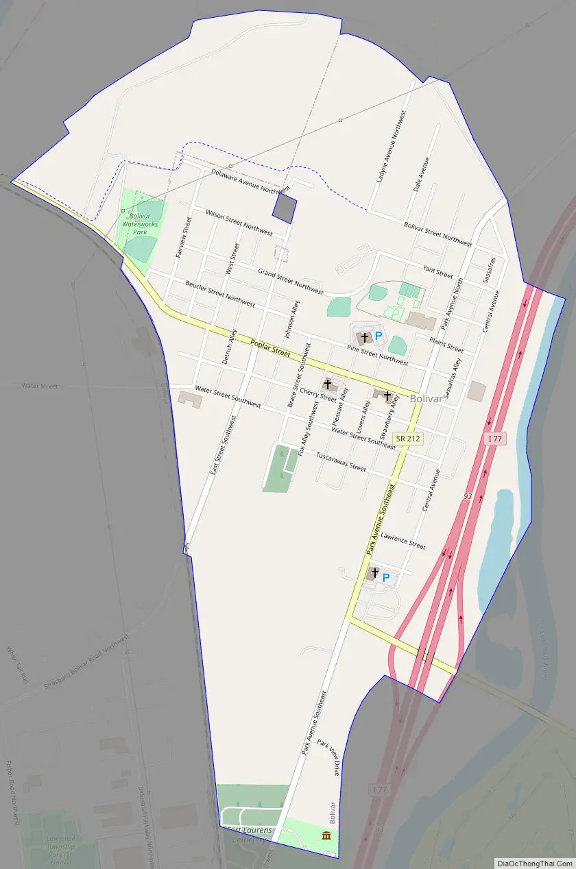
Bolivar Road Map
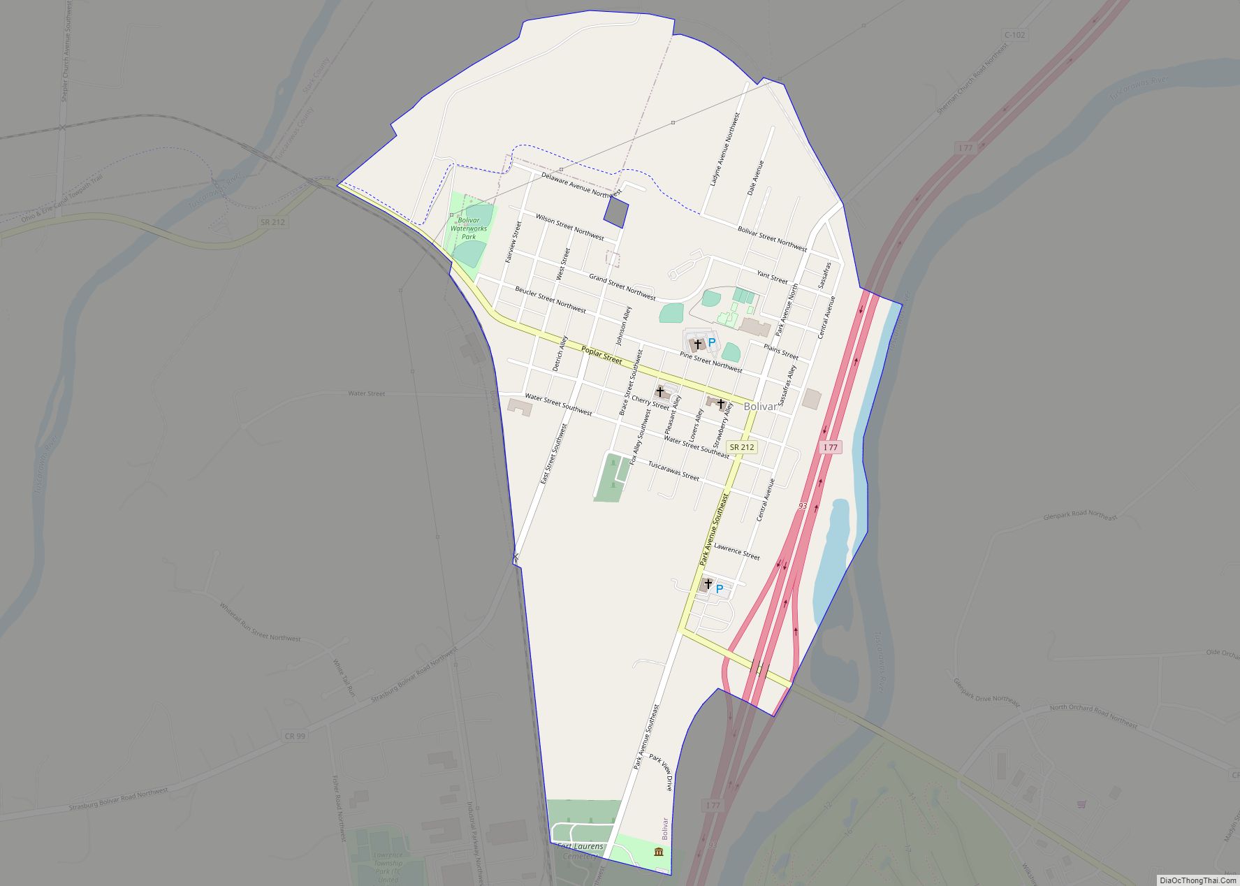
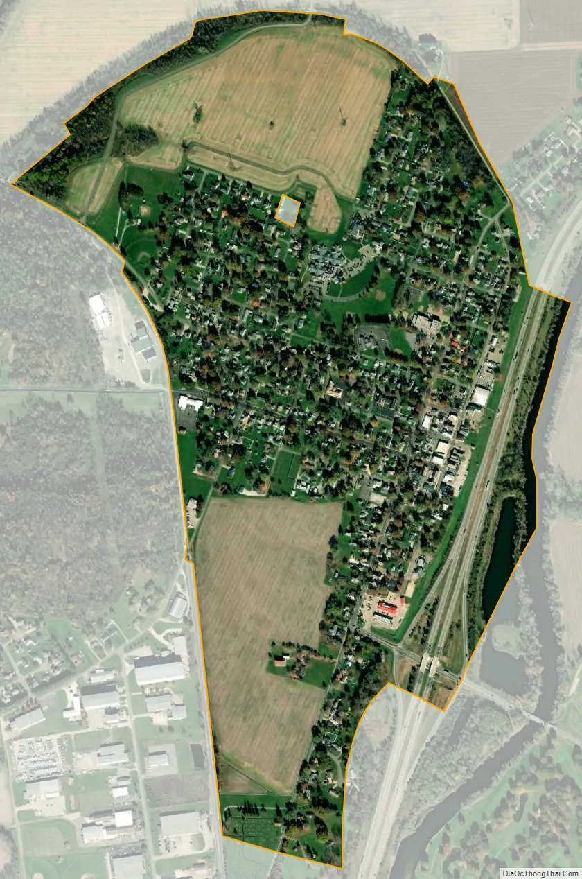
Bolivar city Satellite Map
Geography
Bolivar is located at 40°39.0′N 81°27.3′W / 40.6500°N 81.4550°W / 40.6500; -81.4550 (40.6500, -81.4546), along the Tuscarawas River.
According to the United States Census Bureau, the village has a total area of 0.70 square miles (1.81 km), of which 0.69 square miles (1.79 km) is land and 0.01 square miles (0.03 km) is water.
Bolivar is the northernmost municipality in Tuscarawas County, and is the only municipality in Tuscarawas County that has areas of Stark County that are farther south than it.
See also
Map of Ohio State and its subdivision:- Adams
- Allen
- Ashland
- Ashtabula
- Athens
- Auglaize
- Belmont
- Brown
- Butler
- Carroll
- Champaign
- Clark
- Clermont
- Clinton
- Columbiana
- Coshocton
- Crawford
- Cuyahoga
- Darke
- Defiance
- Delaware
- Erie
- Fairfield
- Fayette
- Franklin
- Fulton
- Gallia
- Geauga
- Greene
- Guernsey
- Hamilton
- Hancock
- Hardin
- Harrison
- Henry
- Highland
- Hocking
- Holmes
- Huron
- Jackson
- Jefferson
- Knox
- Lake
- Lake Erie
- Lawrence
- Licking
- Logan
- Lorain
- Lucas
- Madison
- Mahoning
- Marion
- Medina
- Meigs
- Mercer
- Miami
- Monroe
- Montgomery
- Morgan
- Morrow
- Muskingum
- Noble
- Ottawa
- Paulding
- Perry
- Pickaway
- Pike
- Portage
- Preble
- Putnam
- Richland
- Ross
- Sandusky
- Scioto
- Seneca
- Shelby
- Stark
- Summit
- Trumbull
- Tuscarawas
- Union
- Van Wert
- Vinton
- Warren
- Washington
- Wayne
- Williams
- Wood
- Wyandot
- Alabama
- Alaska
- Arizona
- Arkansas
- California
- Colorado
- Connecticut
- Delaware
- District of Columbia
- Florida
- Georgia
- Hawaii
- Idaho
- Illinois
- Indiana
- Iowa
- Kansas
- Kentucky
- Louisiana
- Maine
- Maryland
- Massachusetts
- Michigan
- Minnesota
- Mississippi
- Missouri
- Montana
- Nebraska
- Nevada
- New Hampshire
- New Jersey
- New Mexico
- New York
- North Carolina
- North Dakota
- Ohio
- Oklahoma
- Oregon
- Pennsylvania
- Rhode Island
- South Carolina
- South Dakota
- Tennessee
- Texas
- Utah
- Vermont
- Virginia
- Washington
- West Virginia
- Wisconsin
- Wyoming