Bellbrook is a city in Greene County, Ohio, United States. The population was 7,317 at the 2020 census. It is part of the Dayton Metropolitan Statistical Area. It sits about 20.5 miles (33.0 km) southeast of Dayton.
| Name: | Bellbrook city |
|---|---|
| LSAD Code: | 25 |
| LSAD Description: | city (suffix) |
| State: | Ohio |
| County: | Greene County |
| Elevation: | 778 ft (237 m) |
| Total Area: | 3.14 sq mi (8.12 km²) |
| Land Area: | 3.13 sq mi (8.12 km²) |
| Water Area: | 0.00 sq mi (0.00 km²) |
| Total Population: | 7,317 |
| Population Density: | 2,333.97/sq mi (901.10/km²) |
| ZIP code: | 45305 |
| FIPS code: | 3905102 |
| GNISfeature ID: | 1064403 |
| Website: | cityofbellbrook.org |
Online Interactive Map
Click on ![]() to view map in "full screen" mode.
to view map in "full screen" mode.
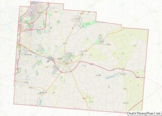
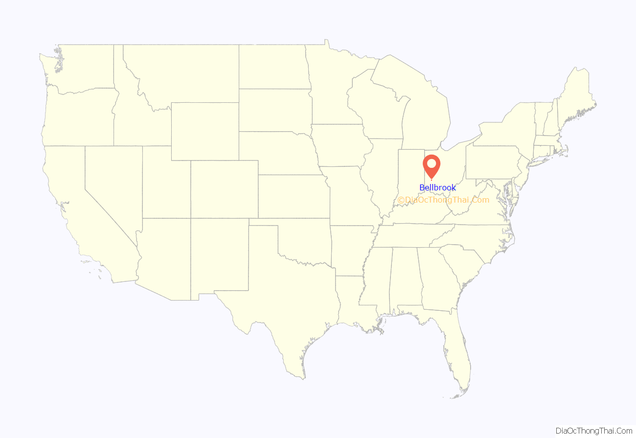
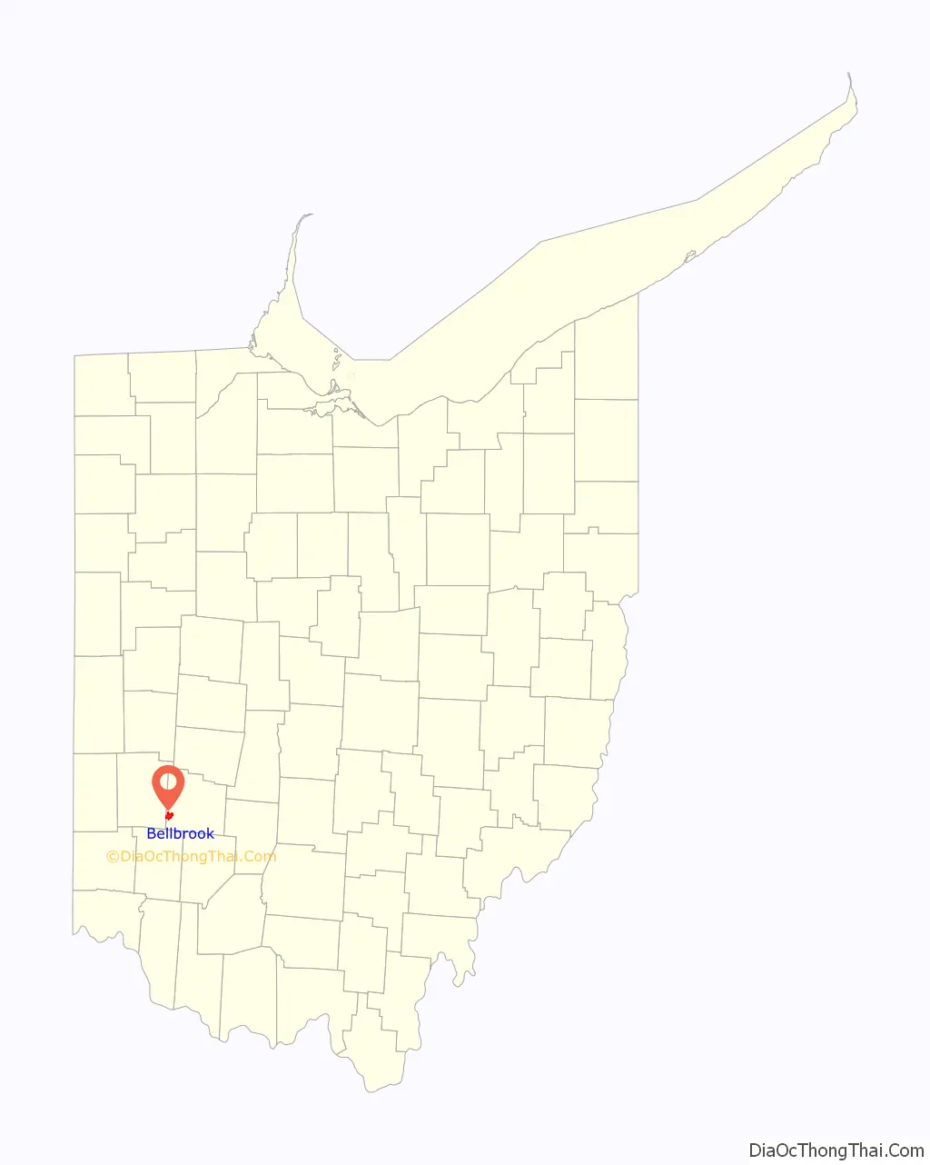
Bellbrook location map. Where is Bellbrook city?
History
Bellbrook was laid out in 1816. The name Bellbrook is an amalgamation of the name one of the city’s founders, Stephen Bell, and Little Sugar Creek. A post office called Bell Brook was established in 1817, and the name was changed to Bellbrook in 1895.
Initially a village, Bellbrook grew by way of annexation of territory from surrounding Sugarcreek Township. The first annexation, in 1970, helped push the population over 5,000 and led to Bellbrook achieving city status in 1974. With large amounts of build-able land, the area added over 1,000 housing units since the annexation. Today the city is largely developed with little land left for future development. Most of the development is taking place in neighboring Sugarcreek Twp.
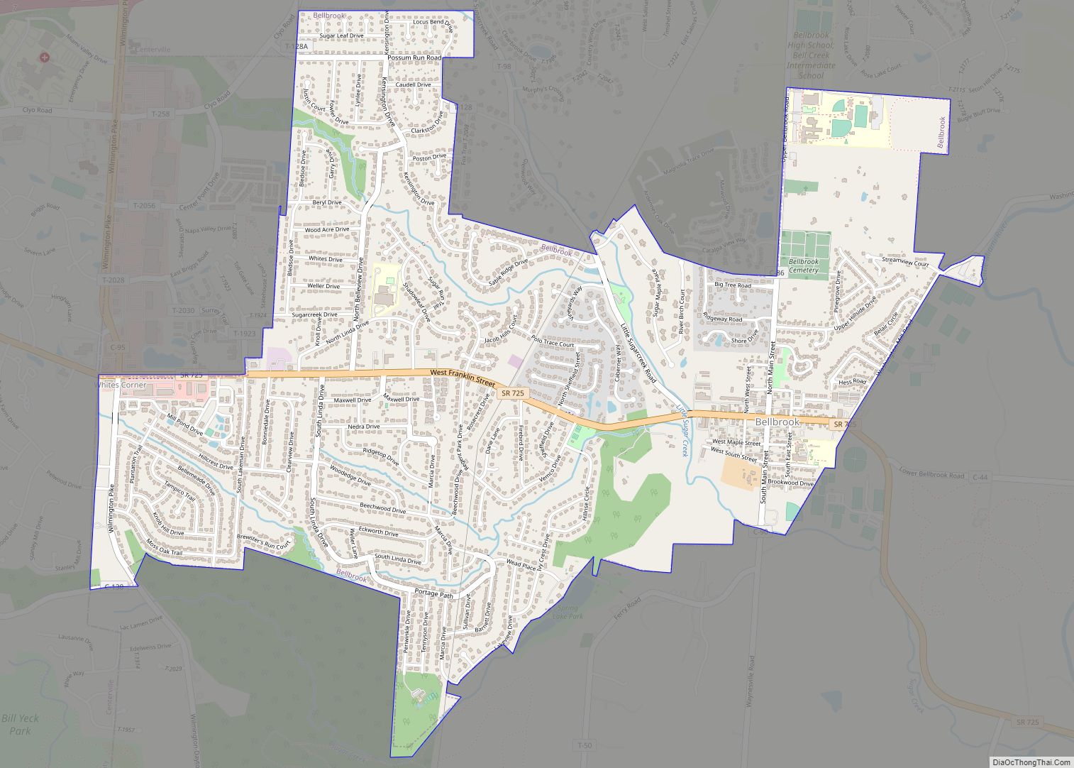
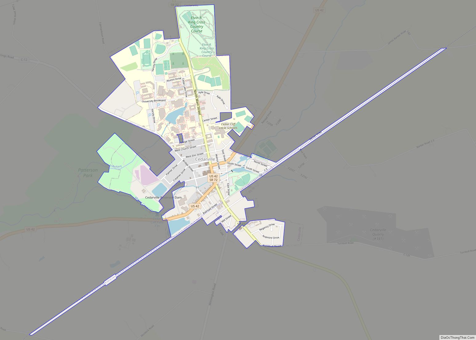
Bellbrook Road Map
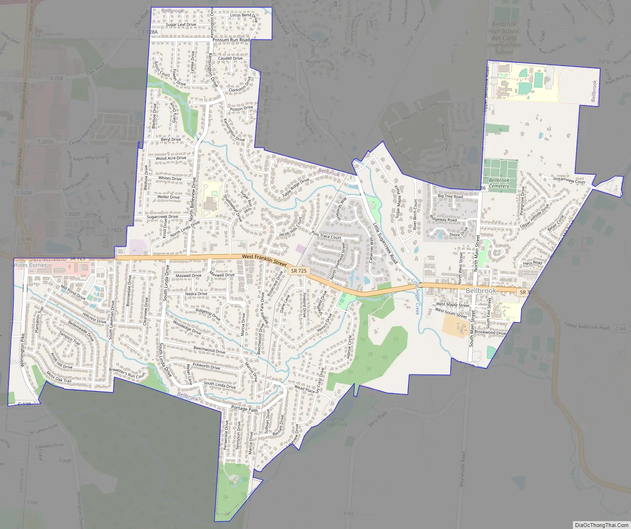
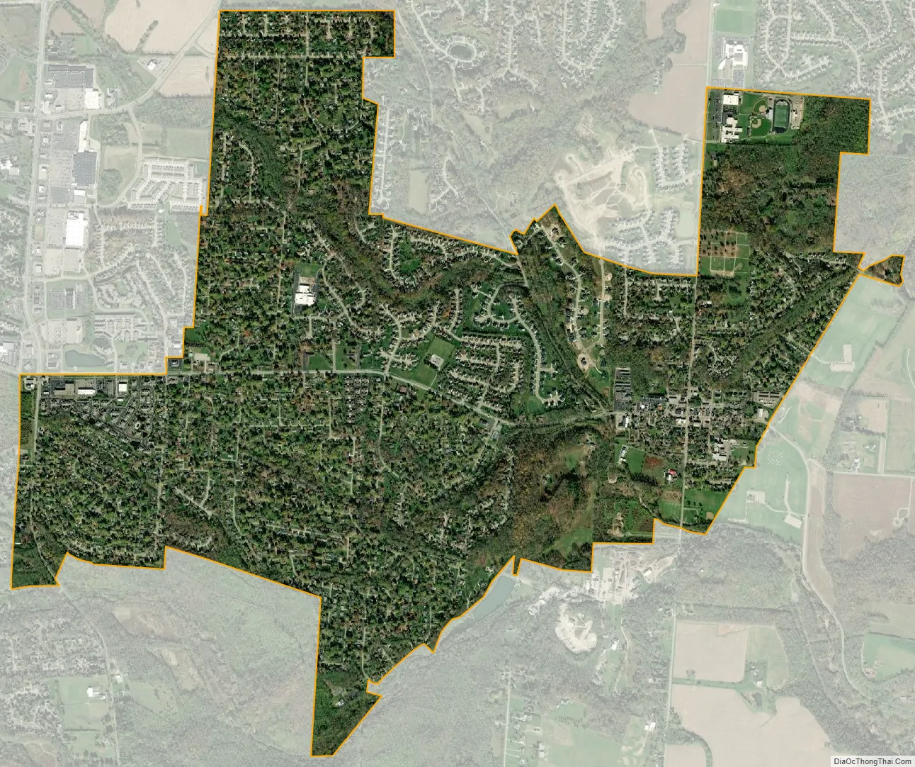
Bellbrook city Satellite Map
Geography
According to the 2010 census, the city has a total area of 3.13 square miles (8.1 km), all land.
See also
Map of Ohio State and its subdivision:- Adams
- Allen
- Ashland
- Ashtabula
- Athens
- Auglaize
- Belmont
- Brown
- Butler
- Carroll
- Champaign
- Clark
- Clermont
- Clinton
- Columbiana
- Coshocton
- Crawford
- Cuyahoga
- Darke
- Defiance
- Delaware
- Erie
- Fairfield
- Fayette
- Franklin
- Fulton
- Gallia
- Geauga
- Greene
- Guernsey
- Hamilton
- Hancock
- Hardin
- Harrison
- Henry
- Highland
- Hocking
- Holmes
- Huron
- Jackson
- Jefferson
- Knox
- Lake
- Lake Erie
- Lawrence
- Licking
- Logan
- Lorain
- Lucas
- Madison
- Mahoning
- Marion
- Medina
- Meigs
- Mercer
- Miami
- Monroe
- Montgomery
- Morgan
- Morrow
- Muskingum
- Noble
- Ottawa
- Paulding
- Perry
- Pickaway
- Pike
- Portage
- Preble
- Putnam
- Richland
- Ross
- Sandusky
- Scioto
- Seneca
- Shelby
- Stark
- Summit
- Trumbull
- Tuscarawas
- Union
- Van Wert
- Vinton
- Warren
- Washington
- Wayne
- Williams
- Wood
- Wyandot
- Alabama
- Alaska
- Arizona
- Arkansas
- California
- Colorado
- Connecticut
- Delaware
- District of Columbia
- Florida
- Georgia
- Hawaii
- Idaho
- Illinois
- Indiana
- Iowa
- Kansas
- Kentucky
- Louisiana
- Maine
- Maryland
- Massachusetts
- Michigan
- Minnesota
- Mississippi
- Missouri
- Montana
- Nebraska
- Nevada
- New Hampshire
- New Jersey
- New Mexico
- New York
- North Carolina
- North Dakota
- Ohio
- Oklahoma
- Oregon
- Pennsylvania
- Rhode Island
- South Carolina
- South Dakota
- Tennessee
- Texas
- Utah
- Vermont
- Virginia
- Washington
- West Virginia
- Wisconsin
- Wyoming