Belle Center is a village in Logan County, Ohio, United States. The population was 813 at the 2010 census. It is a Tree City USA, one of the smallest in the state.
| Name: | Belle Center village |
|---|---|
| LSAD Code: | 47 |
| LSAD Description: | village (suffix) |
| State: | Ohio |
| County: | Logan County |
| Elevation: | 1,043 ft (318 m) |
| Total Area: | 0.71 sq mi (1.84 km²) |
| Land Area: | 0.70 sq mi (1.81 km²) |
| Water Area: | 0.01 sq mi (0.03 km²) |
| Total Population: | 809 |
| Population Density: | 1,159.03/sq mi (447.54/km²) |
| ZIP code: | 43310 |
| FIPS code: | 3905116 |
| GNISfeature ID: | 1064404 |
| Website: | bellecenterohio.com |
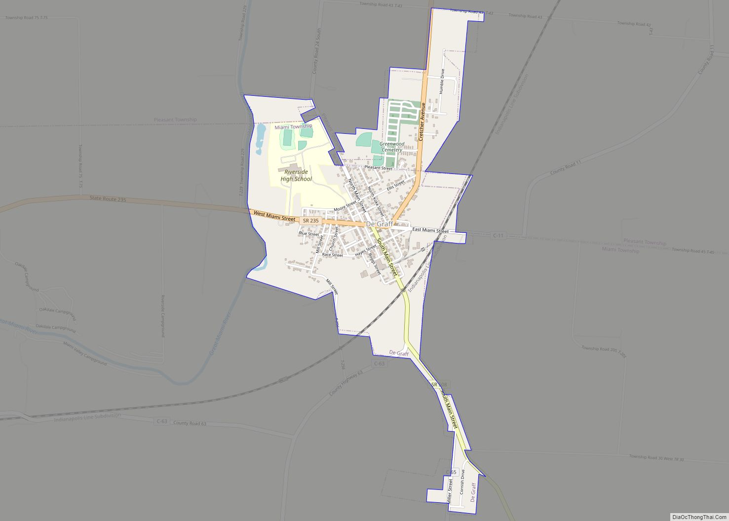
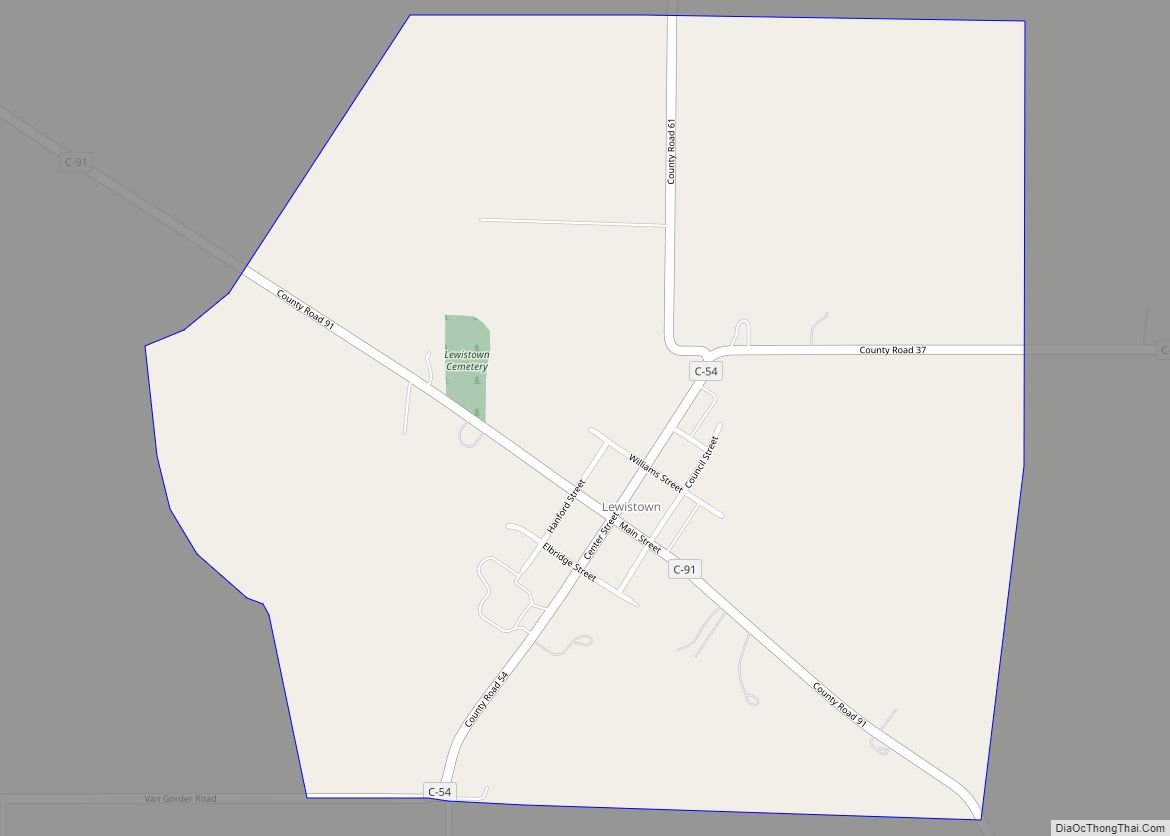
Online Interactive Map
Click on ![]() to view map in "full screen" mode.
to view map in "full screen" mode.
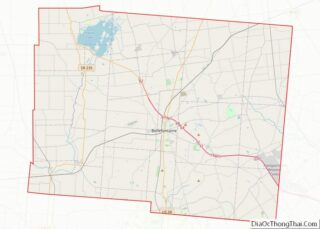
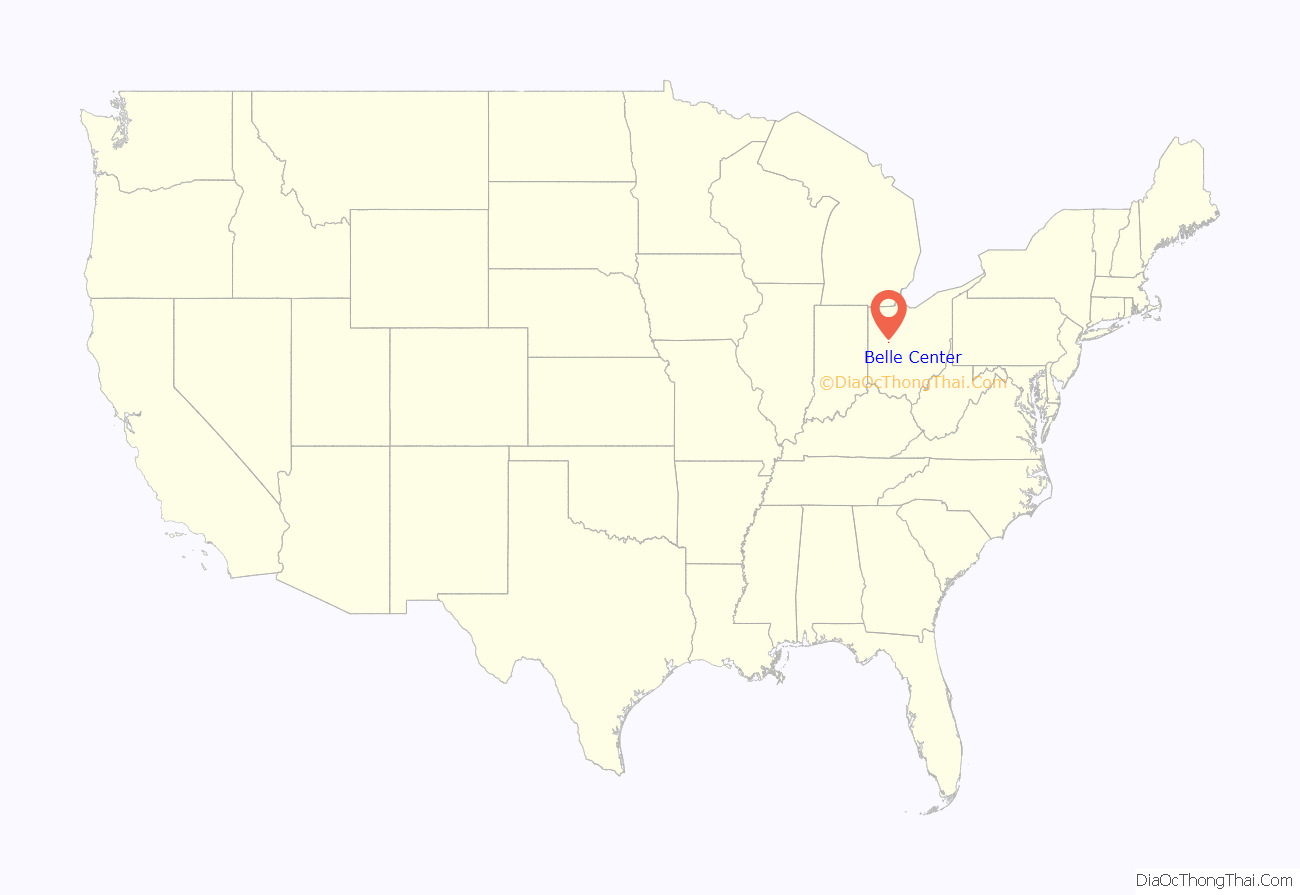
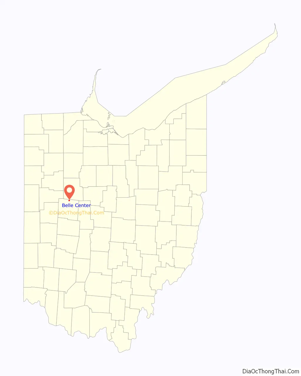
Belle Center location map. Where is Belle Center village?
History
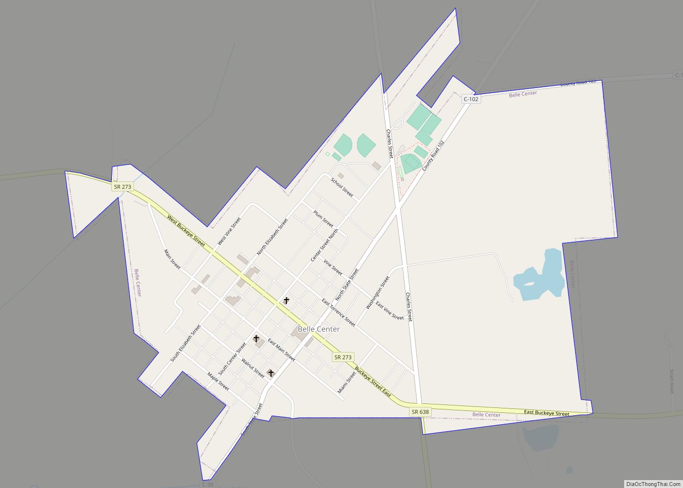
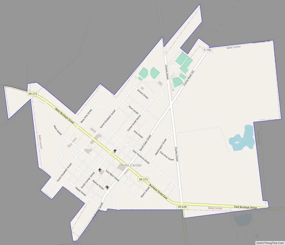
Historically, some areas in what is now northern Richland Township were covered by swampland. During the 1840s, however, settlers moved in, and a town was platted around 1846, by which time a small town named Richland had become well established in the southern part of what is now Richland Township. In this year, the Mad River and Lake Erie Railroad began to plan for a railroad line through the area. A competition developed between the two towns for the location of a water stop for the railroad (essentially requiring the basics of a station), which eventually was won by the upstart town. Five years later, the village of Belle Center was officially incorporated by the Ohio General Assembly. The presence of the railroad led to growth for Belle Center but decline for Richland (since renamed New Richland). This railroad origin is responsible for Belle Center’s “diagonal” street layout.
For many years, many businesses existed in Belle Center, including hotels, blacksmith’s shops, restaurants, markets, and even an “Opera House”. While many of Belle Center’s former businesses have closed, or relocated, the village still does boast many successful businesses. These include, The Little Red Mill, The Main Street Tavern, The Dairy Isle, House Pizza, The Village Diner, Multiple Manufacturing Companies, Quality Paving, ETO Insulation, The Village Detail Depot LLC, and Moran Bros.
On July 5, 1986, Belle Center policeman Murray Griffin was killed in the line of duty.
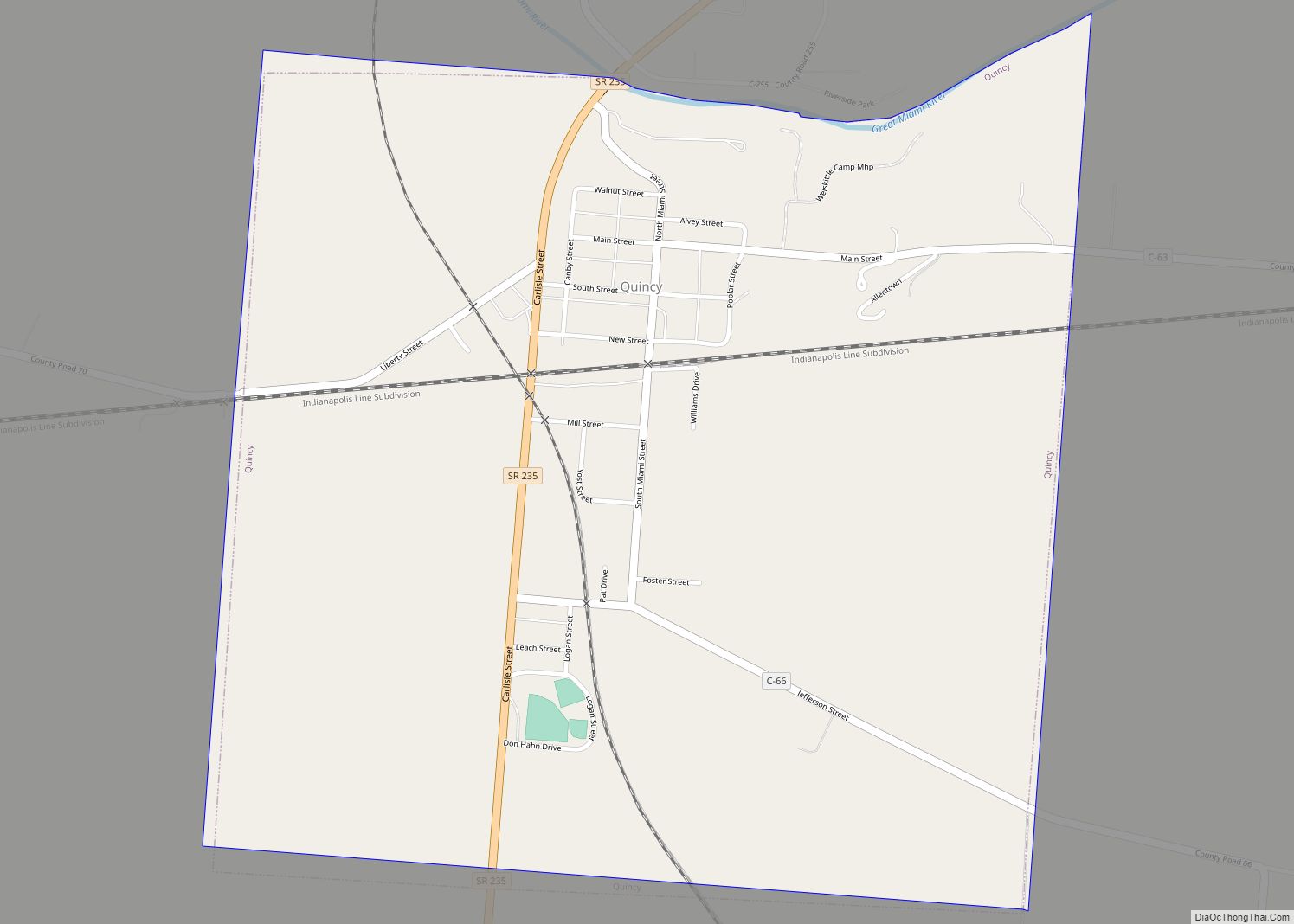
Belle Center Road Map
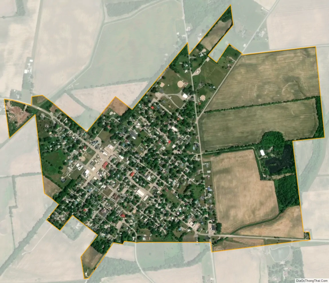
Belle Center city Satellite Map
Geography
Belle Center is located at 40°30′27″N 83°44′54″W / 40.50750°N 83.74833°W / 40.50750; -83.74833 (40.507530, -83.748287).
According to the United States Census Bureau, the village has a total area of 0.71 square miles (1.84 km), of which, 0.70 square miles (1.81 km) is land and 0.01 square miles (0.03 km) is water.
See also
Map of Ohio State and its subdivision:- Adams
- Allen
- Ashland
- Ashtabula
- Athens
- Auglaize
- Belmont
- Brown
- Butler
- Carroll
- Champaign
- Clark
- Clermont
- Clinton
- Columbiana
- Coshocton
- Crawford
- Cuyahoga
- Darke
- Defiance
- Delaware
- Erie
- Fairfield
- Fayette
- Franklin
- Fulton
- Gallia
- Geauga
- Greene
- Guernsey
- Hamilton
- Hancock
- Hardin
- Harrison
- Henry
- Highland
- Hocking
- Holmes
- Huron
- Jackson
- Jefferson
- Knox
- Lake
- Lake Erie
- Lawrence
- Licking
- Logan
- Lorain
- Lucas
- Madison
- Mahoning
- Marion
- Medina
- Meigs
- Mercer
- Miami
- Monroe
- Montgomery
- Morgan
- Morrow
- Muskingum
- Noble
- Ottawa
- Paulding
- Perry
- Pickaway
- Pike
- Portage
- Preble
- Putnam
- Richland
- Ross
- Sandusky
- Scioto
- Seneca
- Shelby
- Stark
- Summit
- Trumbull
- Tuscarawas
- Union
- Van Wert
- Vinton
- Warren
- Washington
- Wayne
- Williams
- Wood
- Wyandot
- Alabama
- Alaska
- Arizona
- Arkansas
- California
- Colorado
- Connecticut
- Delaware
- District of Columbia
- Florida
- Georgia
- Hawaii
- Idaho
- Illinois
- Indiana
- Iowa
- Kansas
- Kentucky
- Louisiana
- Maine
- Maryland
- Massachusetts
- Michigan
- Minnesota
- Mississippi
- Missouri
- Montana
- Nebraska
- Nevada
- New Hampshire
- New Jersey
- New Mexico
- New York
- North Carolina
- North Dakota
- Ohio
- Oklahoma
- Oregon
- Pennsylvania
- Rhode Island
- South Carolina
- South Dakota
- Tennessee
- Texas
- Utah
- Vermont
- Virginia
- Washington
- West Virginia
- Wisconsin
- Wyoming