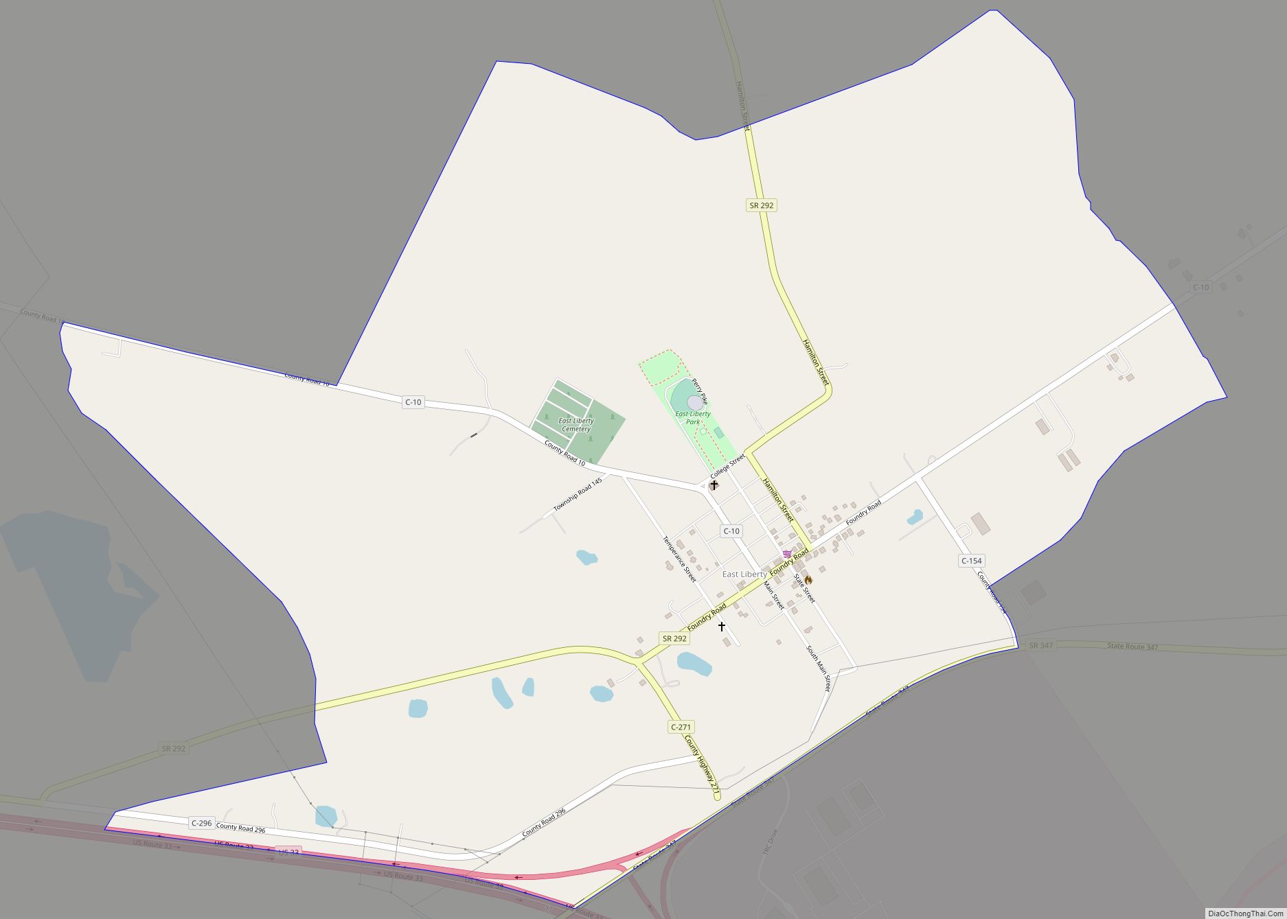
East Liberty is an unincorporated community and census-designated place (CDP) located in Perry Township, Logan County, Ohio, United States. As of the 2010 census, it had a population of 366. It is located just off U.S. Route 33, 10 miles (16 km) east of Bellefontaine and 46 miles (74 km) northwest of Columbus. It has a post office with the ZIP code 43319.
East Liberty was platted in 1834. A post office has been in operation at East Liberty since 1836. A Disciples of Christ minister, Alonzo Skidmore, organized the Central Ohio College at East Liberty in 1882. Formally established in the following year, it prospered before financial pressures forced its closure in the late 1890s.
The community is the location of a major Honda automotive production plant, East Liberty Auto Plant (opened in 1984), as well as the NHTSA’s Vehicle Research and Testing Center, located at the independent proving ground Transportation Research Center.
Perry Township serves as the local government for the community and has a fire department located here.
Besides U.S. Route 33, significant roads in East Liberty include State Routes 292 and 347.
| Name: | East Liberty CDP |
|---|---|
| LSAD Code: | 57 |
| LSAD Description: | CDP (suffix) |
| State: | Ohio |
| County: | Logan County |
| Elevation: | 1,127 ft (344 m) |
| Total Area: | 1.58 sq mi (4.09 km²) |
| Land Area: | 1.58 sq mi (4.09 km²) |
| Water Area: | 0.00 sq mi (0.00 km²) |
| Total Population: | 371 |
| Population Density: | 235.26/sq mi (90.80/km²) |
| ZIP code: | 43319 |
| FIPS code: | 3923702 |
| GNISfeature ID: | 1064582 |
Online Interactive Map
Click on ![]() to view map in "full screen" mode.
to view map in "full screen" mode.
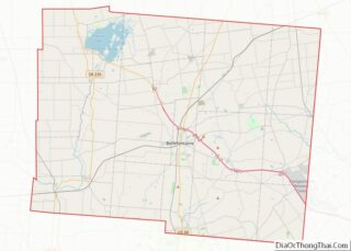
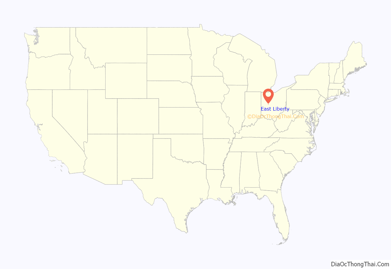
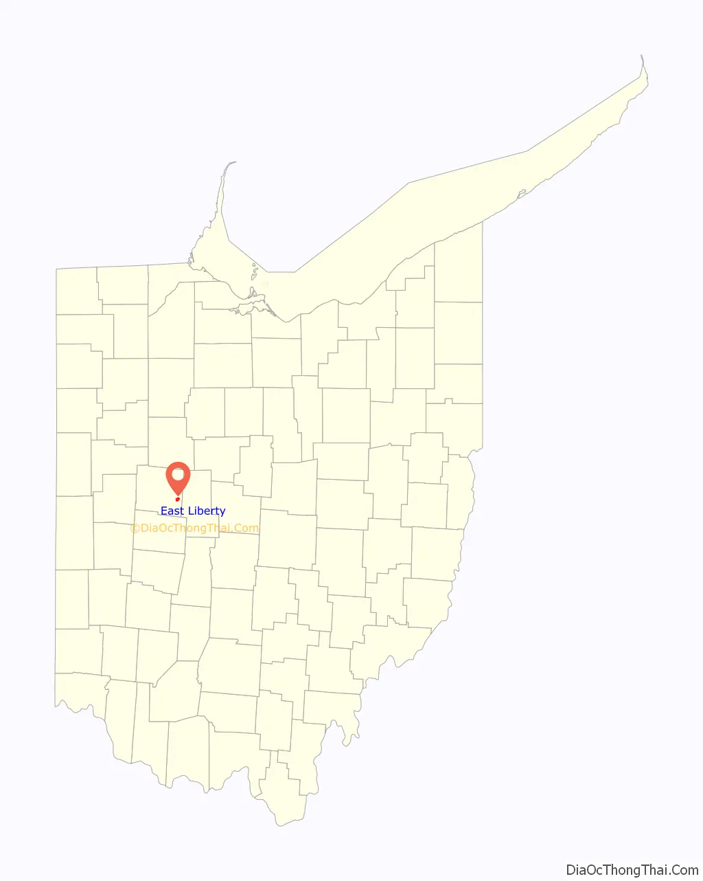
East Liberty location map. Where is East Liberty CDP?
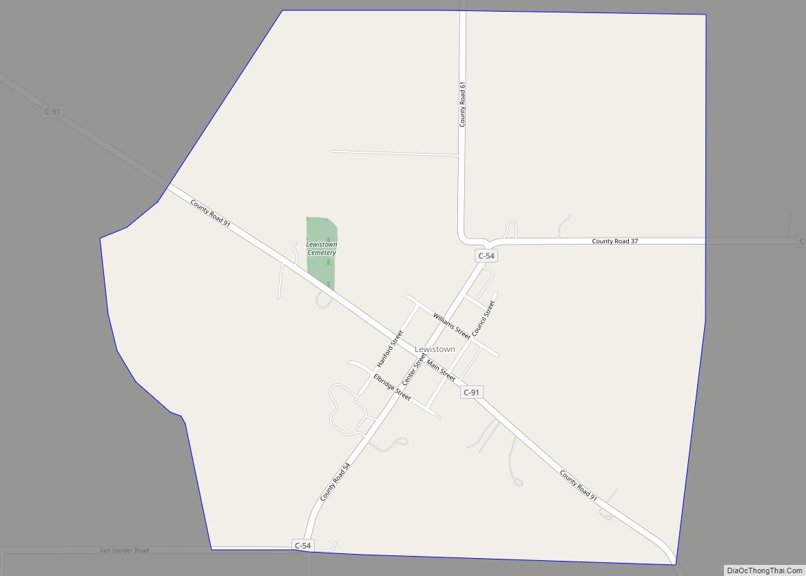
East Liberty Road Map

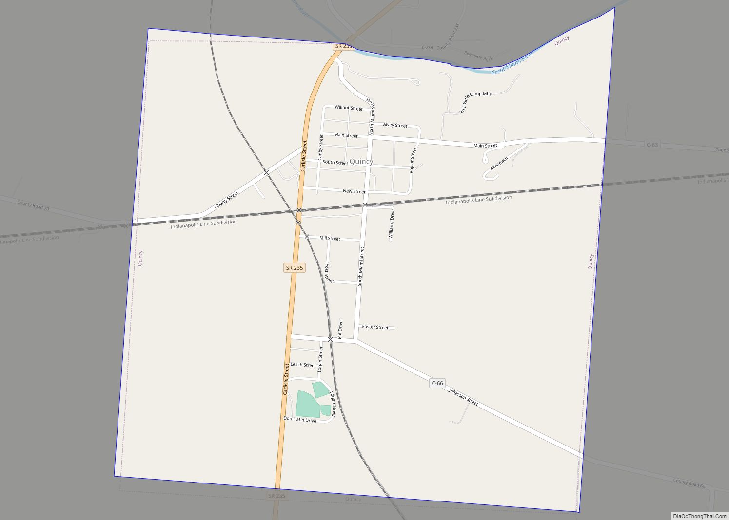
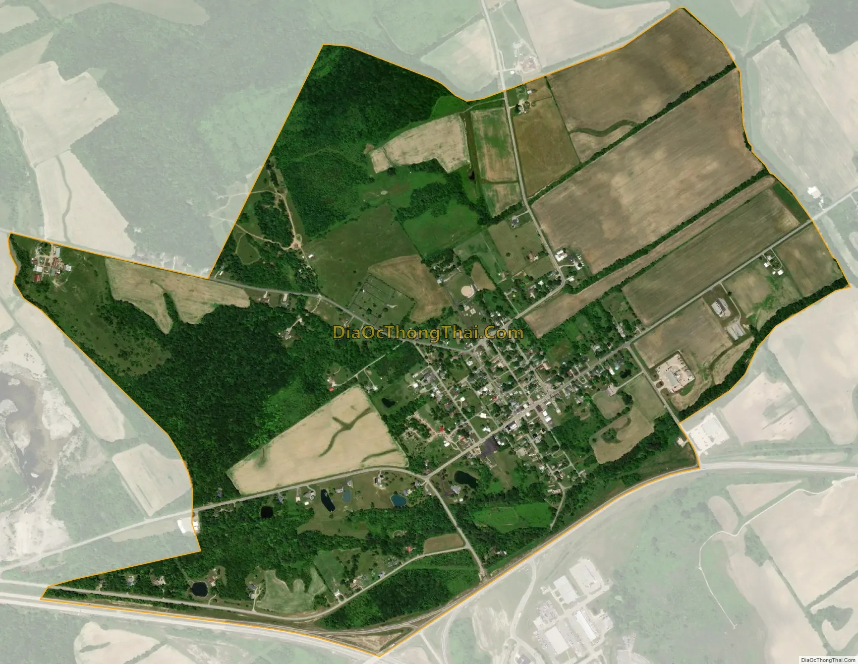
East Liberty city Satellite Map
Geography
East Liberty is located in southern Perry Township at 40°18’27.6″ North, 83°35’10.4″ West (40.307682, -83.586221). According to the U.S. Census Bureau, the CDP has an area of 1.6 square miles (4.1 km), all of it recorded as land. Otter Creek flows through the southern part of the community, leading northeast to Mill Creek, an east-flowing tributary of the Scioto River.
See also
Map of Ohio State and its subdivision:- Adams
- Allen
- Ashland
- Ashtabula
- Athens
- Auglaize
- Belmont
- Brown
- Butler
- Carroll
- Champaign
- Clark
- Clermont
- Clinton
- Columbiana
- Coshocton
- Crawford
- Cuyahoga
- Darke
- Defiance
- Delaware
- Erie
- Fairfield
- Fayette
- Franklin
- Fulton
- Gallia
- Geauga
- Greene
- Guernsey
- Hamilton
- Hancock
- Hardin
- Harrison
- Henry
- Highland
- Hocking
- Holmes
- Huron
- Jackson
- Jefferson
- Knox
- Lake
- Lake Erie
- Lawrence
- Licking
- Logan
- Lorain
- Lucas
- Madison
- Mahoning
- Marion
- Medina
- Meigs
- Mercer
- Miami
- Monroe
- Montgomery
- Morgan
- Morrow
- Muskingum
- Noble
- Ottawa
- Paulding
- Perry
- Pickaway
- Pike
- Portage
- Preble
- Putnam
- Richland
- Ross
- Sandusky
- Scioto
- Seneca
- Shelby
- Stark
- Summit
- Trumbull
- Tuscarawas
- Union
- Van Wert
- Vinton
- Warren
- Washington
- Wayne
- Williams
- Wood
- Wyandot
- Alabama
- Alaska
- Arizona
- Arkansas
- California
- Colorado
- Connecticut
- Delaware
- District of Columbia
- Florida
- Georgia
- Hawaii
- Idaho
- Illinois
- Indiana
- Iowa
- Kansas
- Kentucky
- Louisiana
- Maine
- Maryland
- Massachusetts
- Michigan
- Minnesota
- Mississippi
- Missouri
- Montana
- Nebraska
- Nevada
- New Hampshire
- New Jersey
- New Mexico
- New York
- North Carolina
- North Dakota
- Ohio
- Oklahoma
- Oregon
- Pennsylvania
- Rhode Island
- South Carolina
- South Dakota
- Tennessee
- Texas
- Utah
- Vermont
- Virginia
- Washington
- West Virginia
- Wisconsin
- Wyoming