Belle Valley is a village in Noble County, Ohio, United States. The population was 201 at the 2020 census.
| Name: | Belle Valley village |
|---|---|
| LSAD Code: | 47 |
| LSAD Description: | village (suffix) |
| State: | Ohio |
| County: | Noble County |
| Elevation: | 745 ft (227 m) |
| Total Area: | 0.41 sq mi (1.05 km²) |
| Land Area: | 0.41 sq mi (1.05 km²) |
| Water Area: | 0.00 sq mi (0.00 km²) |
| Total Population: | 201 |
| Population Density: | 493.86/sq mi (190.84/km²) |
| ZIP code: | 43717 |
| Area code: | 740 |
| FIPS code: | 3905158 |
| GNISfeature ID: | 1064405 |
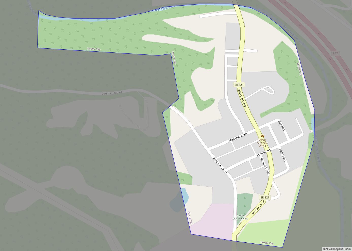
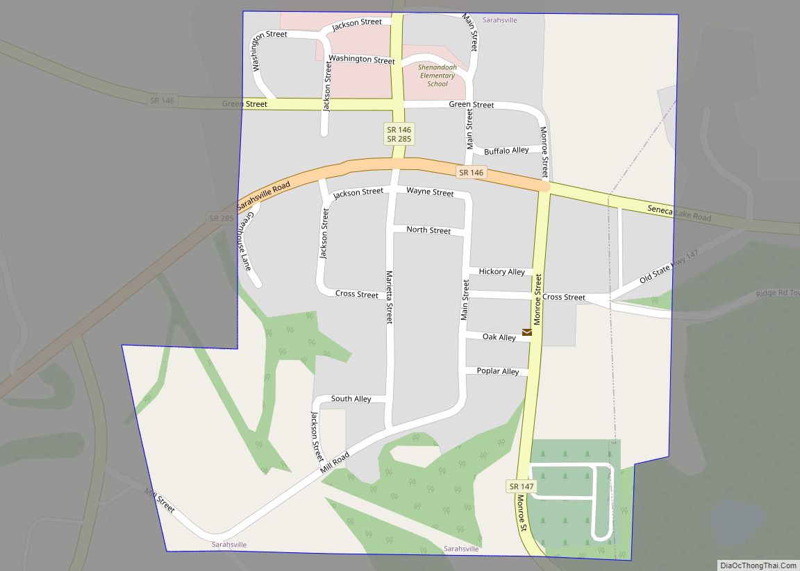
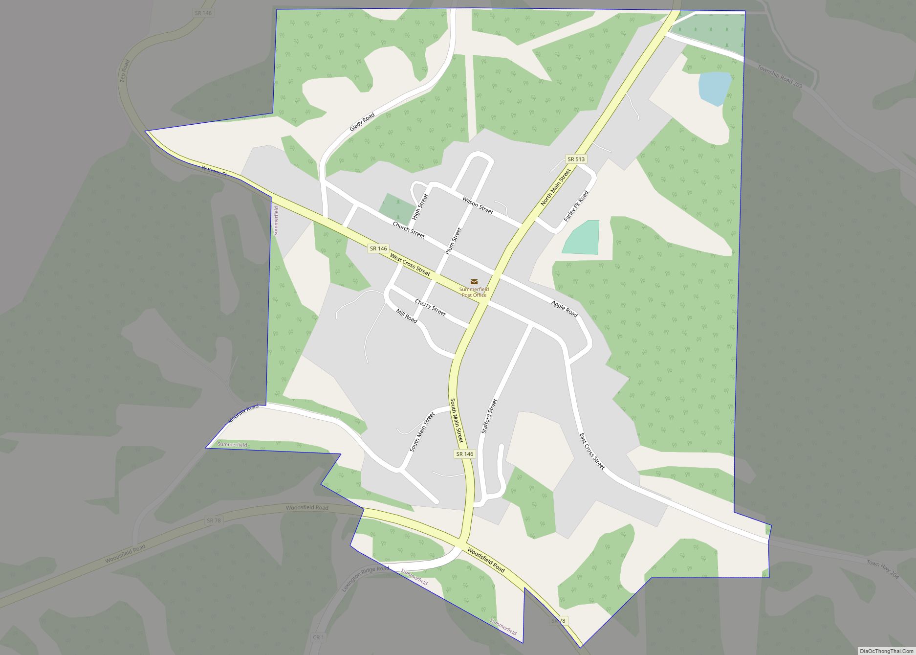
Online Interactive Map
Click on ![]() to view map in "full screen" mode.
to view map in "full screen" mode.
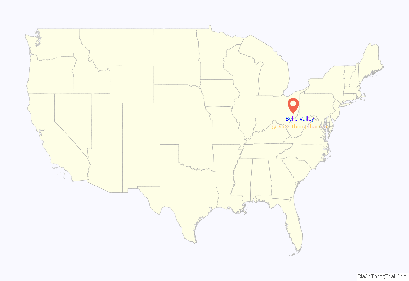
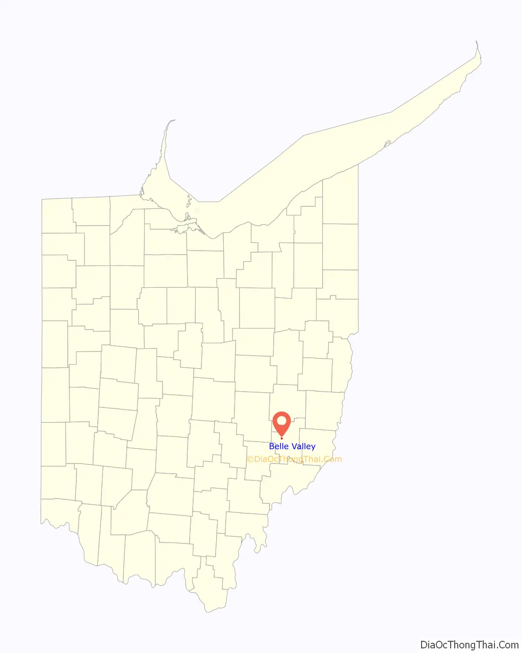
Belle Valley location map. Where is Belle Valley village?
History
Belle Valley had its start when the Cleveland and Marietta Railroad was extended to that point. The Village of Belle Valley was incorporated in 1905.
On May 18, 1913 fifteen coal miners were killed in a mine explosion. The population of Belle Valley was about 1000 at the time.
During World War II, Belle Valley soldier Harry Torhan, who was born to Russian emigre coal mining parents, received the Silver Star and Purple Heart for evacuating four wounded soldiers while under mortar and small arms fire during the Battle of the Bulge.
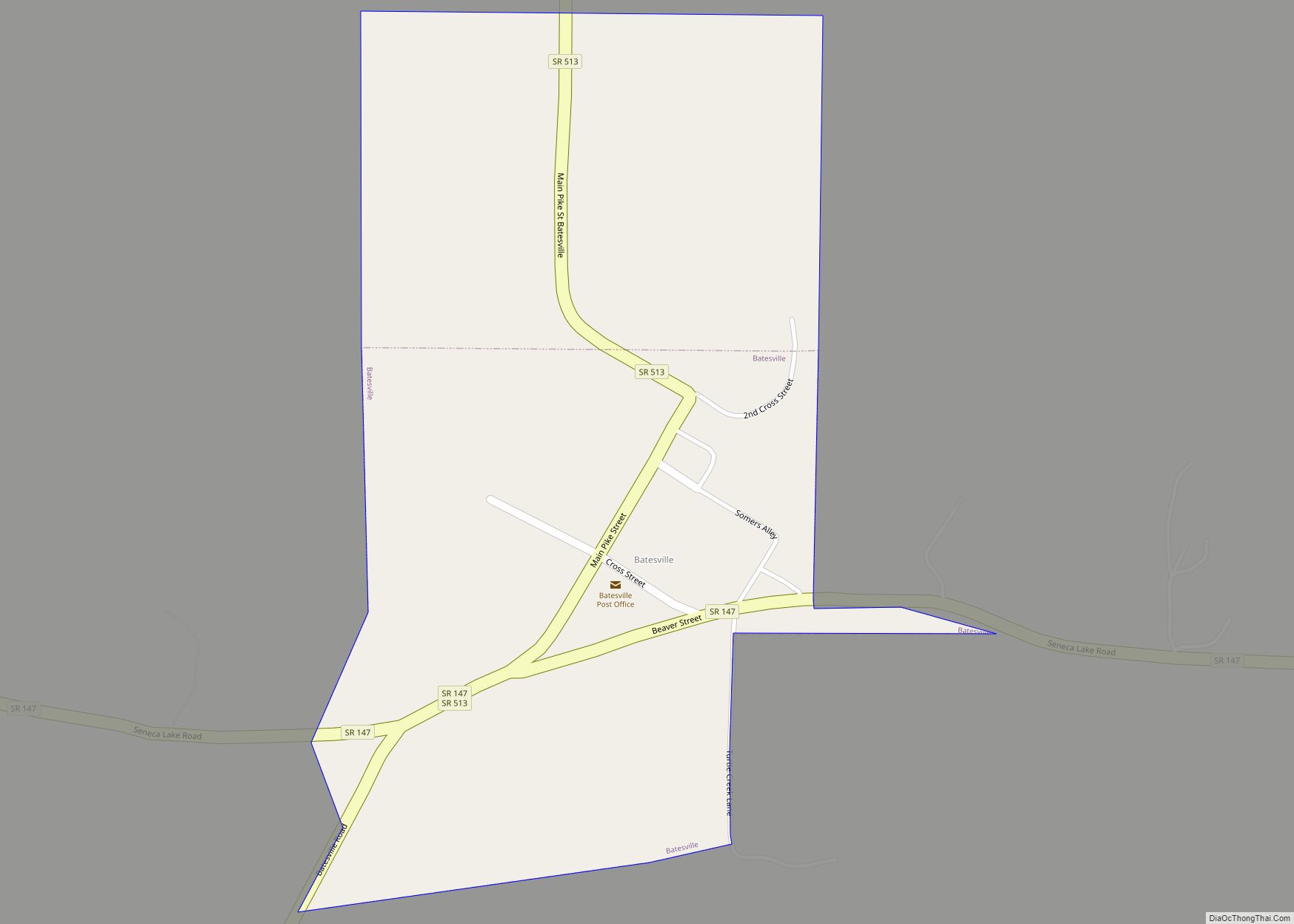
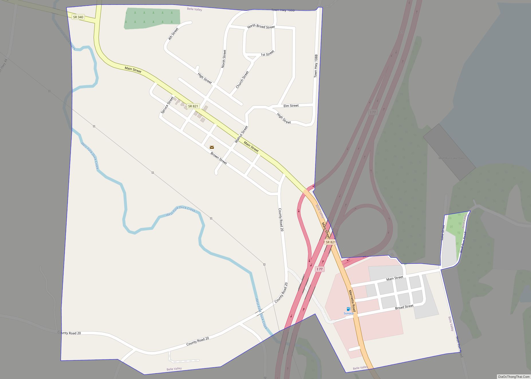
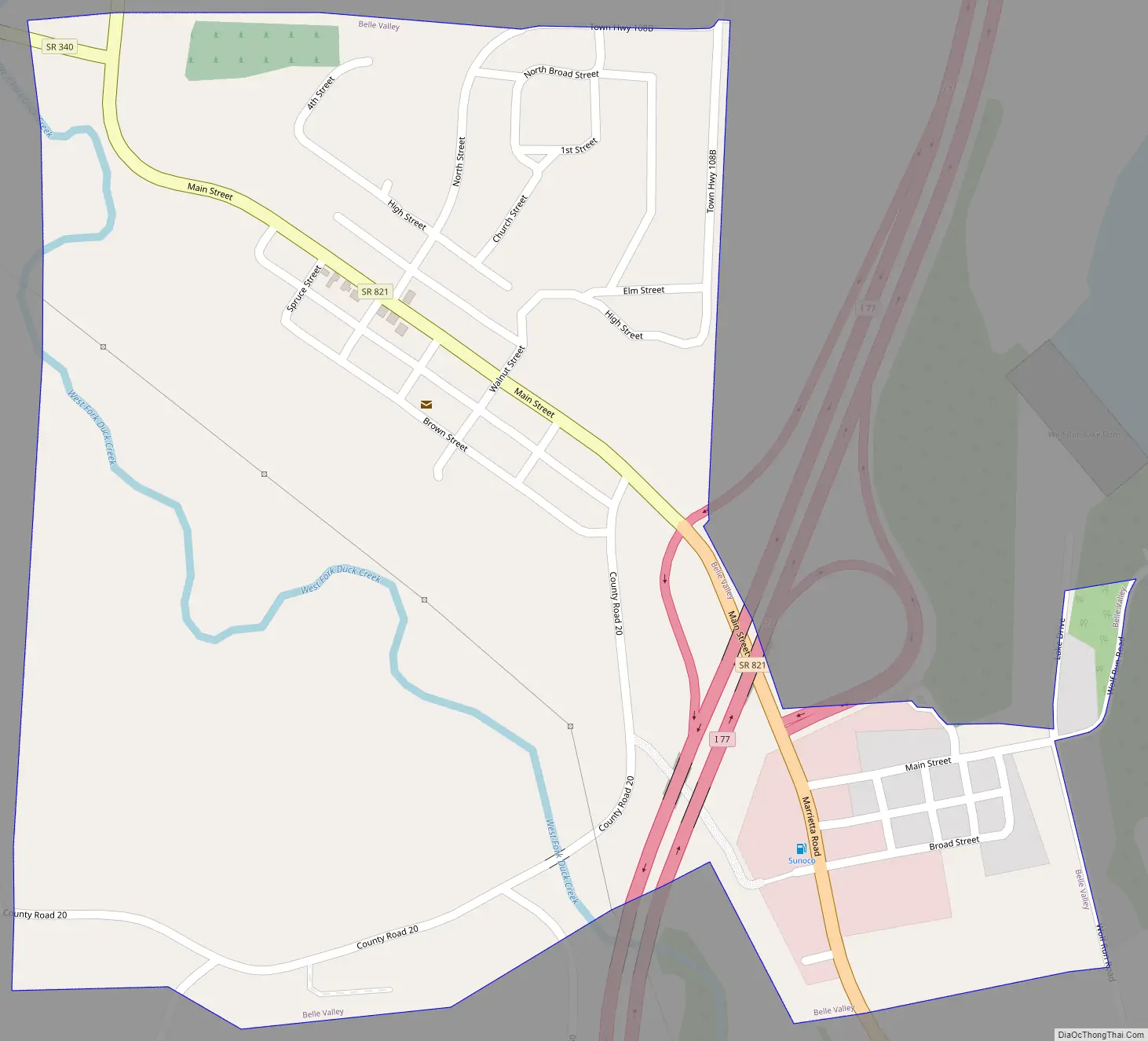
Belle Valley Road Map
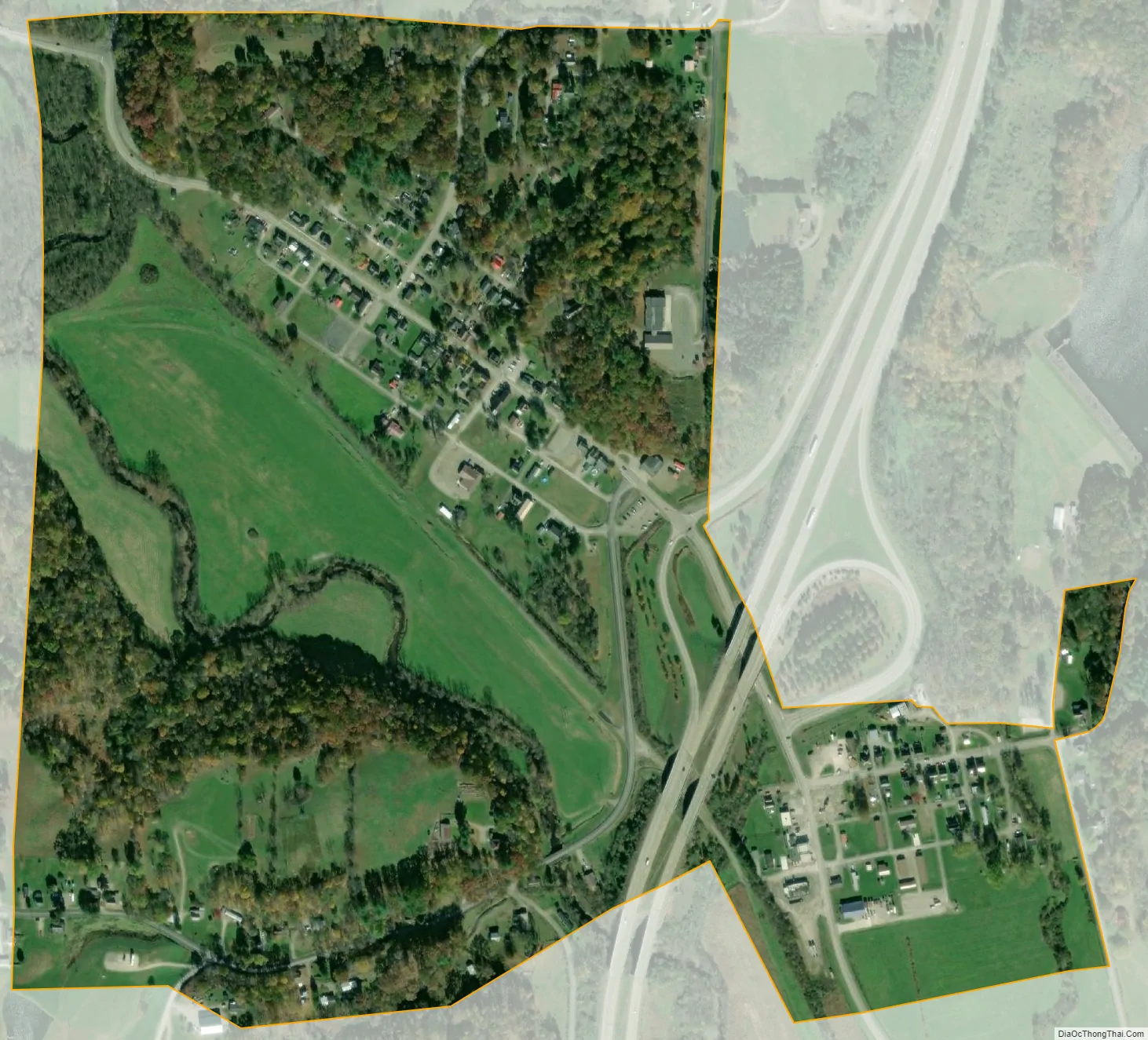
Belle Valley city Satellite Map
Geography
Belle Valley is located at 39°47′21″N 81°33′17″W / 39.78917°N 81.55472°W / 39.78917; -81.55472 (39.789241, -81.554833), along the West Fork of Duck Creek in Noble Township. Belle Valley is located within a short driving distance of Cambridge, Marietta, and Zanesville, near Interstate 77.
According to the United States Census Bureau, the village has a total area of 0.41 square miles (1.06 km), all land.
The Village of Belle Valley is also part of the Ohio Buckeye Trail, a hiking trail that circles the entire state of Ohio. The Belle Valley section is a mostly hilly, completely rural portion of the Buckeye Trail that runs through Guernsey and Noble Counties in southeast Ohio. The section runs from Winterset to the America Electric Power Recreation Lands. The trail here is mostly on rarely traveled dirt roads, with off-road portions located at Salt Fork Wildlife Area, Seneca Lake (the southernmost of the Muskingum Watershed Conservancy District Lakes), Wolf Run State Park and America Electric Power Recreation Lands. The trail passes through the villages of Old Washington, where the trail crosses I-70, and Belle Valley, where it crosses I-77, and Hoskinsville.
See also
Map of Ohio State and its subdivision:- Adams
- Allen
- Ashland
- Ashtabula
- Athens
- Auglaize
- Belmont
- Brown
- Butler
- Carroll
- Champaign
- Clark
- Clermont
- Clinton
- Columbiana
- Coshocton
- Crawford
- Cuyahoga
- Darke
- Defiance
- Delaware
- Erie
- Fairfield
- Fayette
- Franklin
- Fulton
- Gallia
- Geauga
- Greene
- Guernsey
- Hamilton
- Hancock
- Hardin
- Harrison
- Henry
- Highland
- Hocking
- Holmes
- Huron
- Jackson
- Jefferson
- Knox
- Lake
- Lake Erie
- Lawrence
- Licking
- Logan
- Lorain
- Lucas
- Madison
- Mahoning
- Marion
- Medina
- Meigs
- Mercer
- Miami
- Monroe
- Montgomery
- Morgan
- Morrow
- Muskingum
- Noble
- Ottawa
- Paulding
- Perry
- Pickaway
- Pike
- Portage
- Preble
- Putnam
- Richland
- Ross
- Sandusky
- Scioto
- Seneca
- Shelby
- Stark
- Summit
- Trumbull
- Tuscarawas
- Union
- Van Wert
- Vinton
- Warren
- Washington
- Wayne
- Williams
- Wood
- Wyandot
- Alabama
- Alaska
- Arizona
- Arkansas
- California
- Colorado
- Connecticut
- Delaware
- District of Columbia
- Florida
- Georgia
- Hawaii
- Idaho
- Illinois
- Indiana
- Iowa
- Kansas
- Kentucky
- Louisiana
- Maine
- Maryland
- Massachusetts
- Michigan
- Minnesota
- Mississippi
- Missouri
- Montana
- Nebraska
- Nevada
- New Hampshire
- New Jersey
- New Mexico
- New York
- North Carolina
- North Dakota
- Ohio
- Oklahoma
- Oregon
- Pennsylvania
- Rhode Island
- South Carolina
- South Dakota
- Tennessee
- Texas
- Utah
- Vermont
- Virginia
- Washington
- West Virginia
- Wisconsin
- Wyoming