Bellevue (/ˈbɛlvjuː/ BEL-vew) is a city in Erie, Huron, Seneca, and Sandusky counties in the U.S. state of Ohio, located 61 miles southwest of Cleveland and 45 miles southeast of Toledo. The population was 8,202 at the 2010 census. The National Arbor Day Foundation has designated Bellevue as a Tree City USA.
The Sandusky County portion of Bellevue is part of the Fremont Micropolitan Statistical Area, while the Huron County portion is part of the Norwalk Micropolitan Statistical Area. The small portion of the city that extends into Erie county is part of the Sandusky Micropolitan Statistical Area.
Bellevue was the home of Henry Morrison Flagler when he partnered up with John D. Rockefeller to start Standard Oil. Flagler later went on to build the Florida Overseas Railroad, to Key West, Florida. The property of his former Bellevue residence on Southwest Street is the current location of the Mad River & NKP Railroad Museum.
The city derives its name from James H. Bell, a railroad official.
It was also noted to be the most affordable place to live in Ohio.
| Name: | Bellevue city |
|---|---|
| LSAD Code: | 25 |
| LSAD Description: | city (suffix) |
| State: | Ohio |
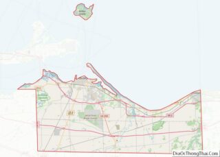
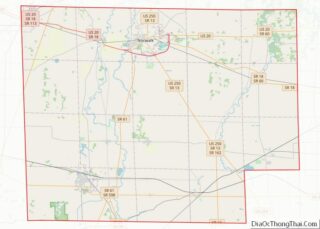
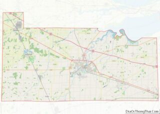
| County: | Erie County, Huron County, Sandusky County |
| Elevation: | 751 ft (229 m) |
| Total Area: | 6.25 sq mi (16.18 km²) |
| Land Area: | 6.13 sq mi (15.87 km²) |
| Water Area: | 0.12 sq mi (0.31 km²) |
| Total Population: | 8,249 |
| Population Density: | 1,346.34/sq mi (519.83/km²) |
| ZIP code: | 44811 |
| FIPS code: | 3905228 |
| GNISfeature ID: | 1064408 |
| Website: | thenewcityofbellevue.com |
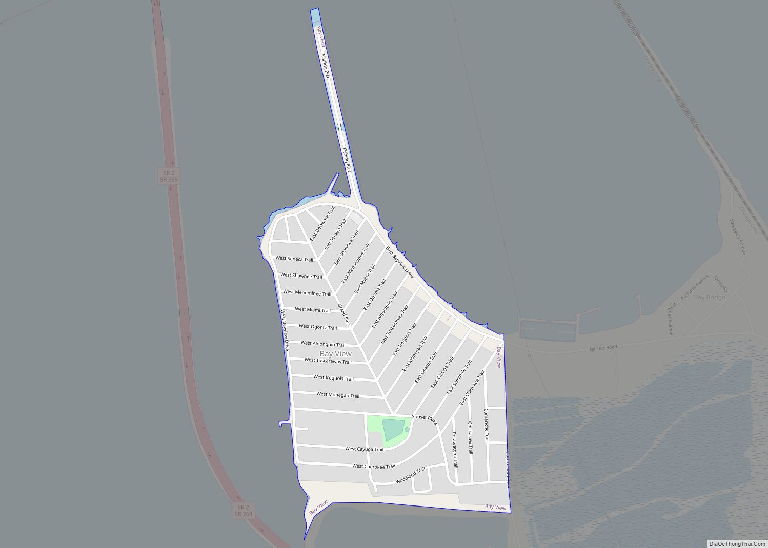
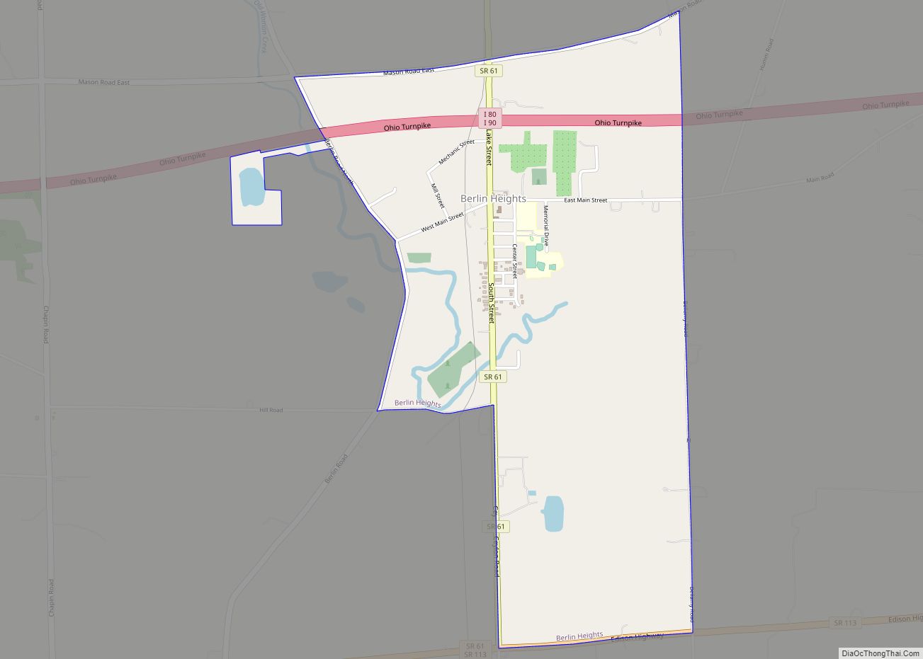
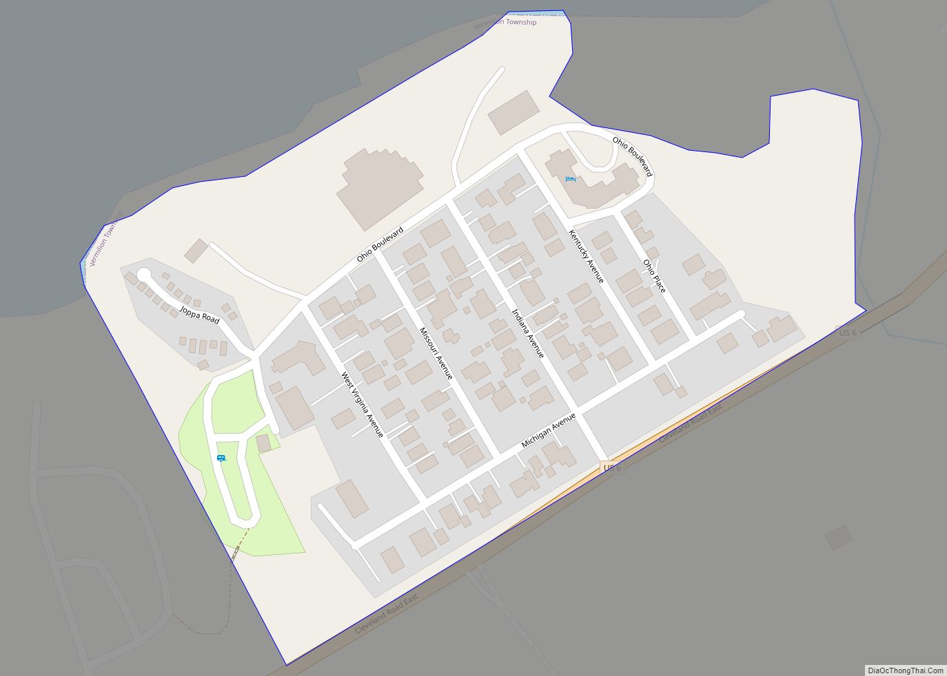
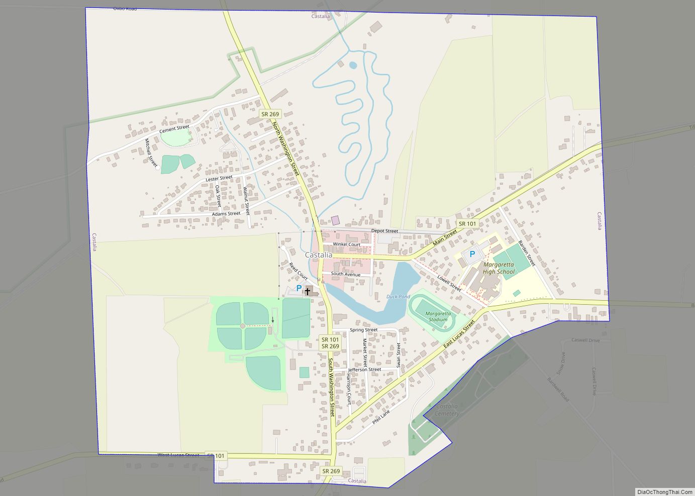
Online Interactive Map
Click on ![]() to view map in "full screen" mode.
to view map in "full screen" mode.
Bellevue location map. Where is Bellevue city?
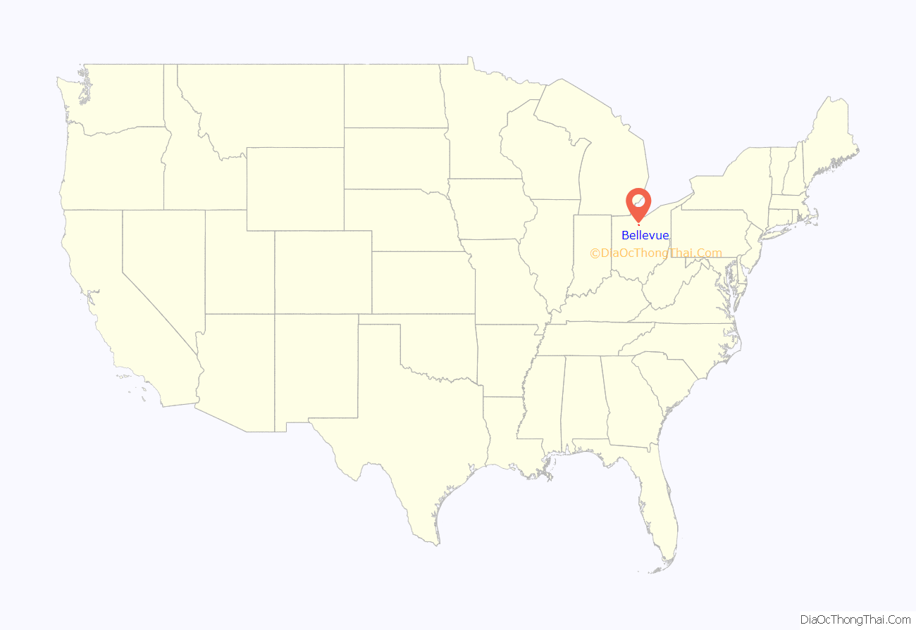
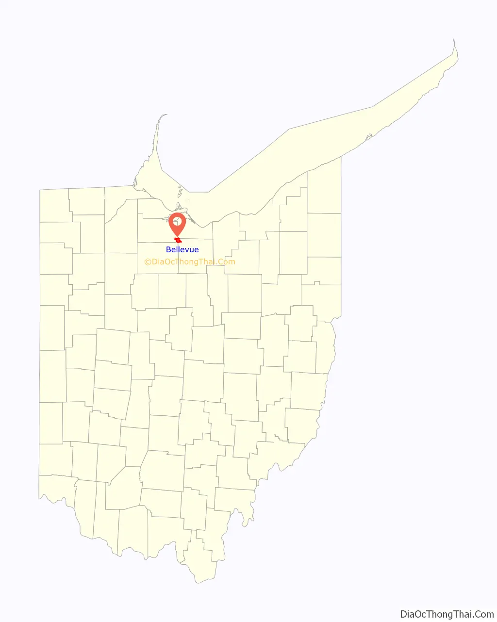
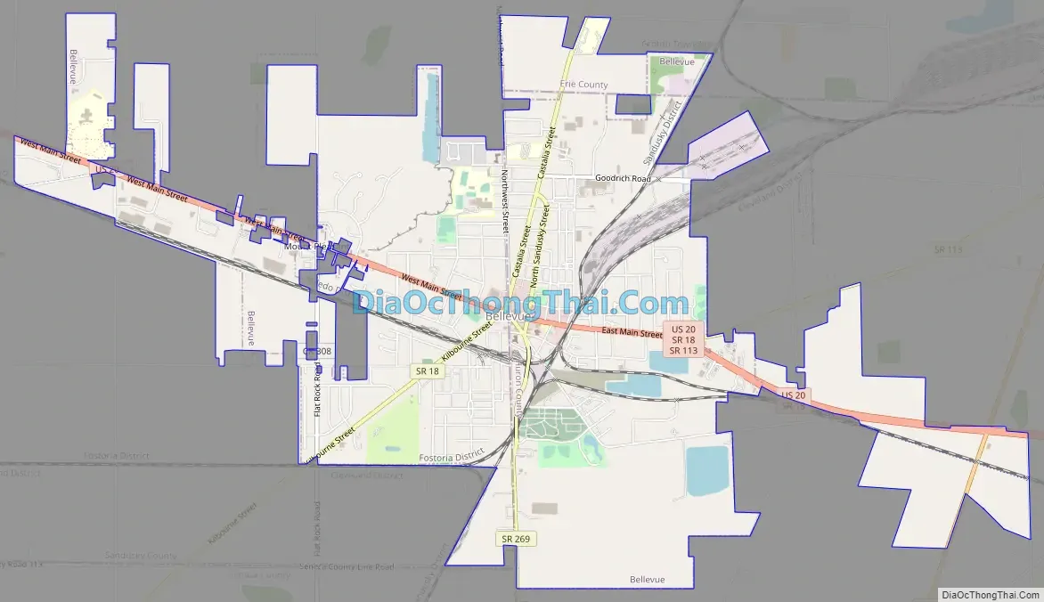
Bellevue Road Map
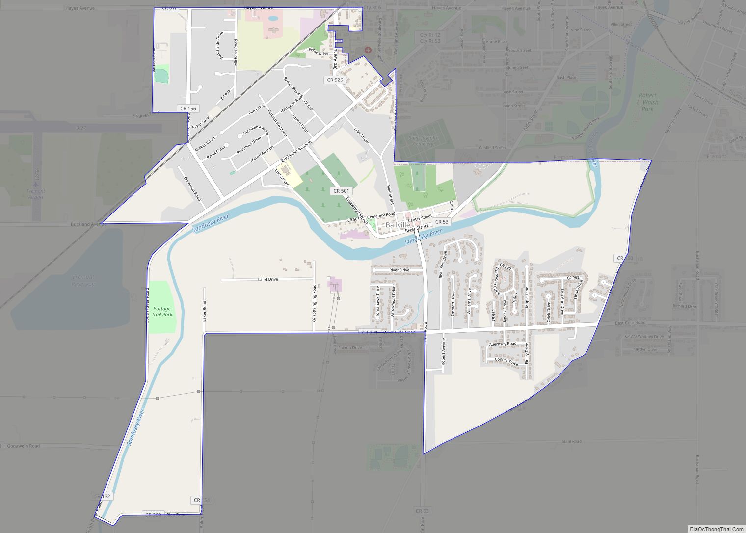
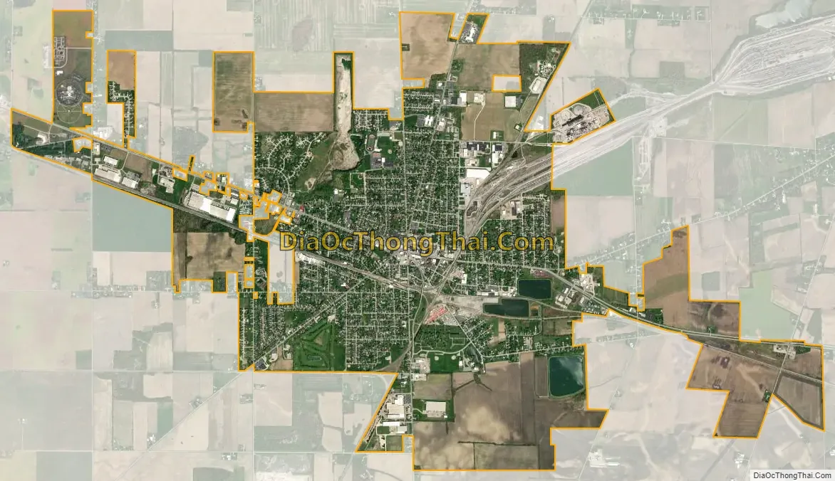
Bellevue city Satellite Map
Geography
Bellevue is located at 41°16′33″N 82°50′32″W / 41.27583°N 82.84222°W / 41.27583; -82.84222 (41.275808, -82.842099).
According to the 2010 census, the city has a total area of 6.25 square miles (16.2 km), of which 6.14 square miles (15.9 km) (or 98.24%) is land and 0.12 square miles (0.31 km) (or 1.92%) is water.
See also
Map of Ohio State and its subdivision:- Adams
- Allen
- Ashland
- Ashtabula
- Athens
- Auglaize
- Belmont
- Brown
- Butler
- Carroll
- Champaign
- Clark
- Clermont
- Clinton
- Columbiana
- Coshocton
- Crawford
- Cuyahoga
- Darke
- Defiance
- Delaware
- Erie
- Fairfield
- Fayette
- Franklin
- Fulton
- Gallia
- Geauga
- Greene
- Guernsey
- Hamilton
- Hancock
- Hardin
- Harrison
- Henry
- Highland
- Hocking
- Holmes
- Huron
- Jackson
- Jefferson
- Knox
- Lake
- Lake Erie
- Lawrence
- Licking
- Logan
- Lorain
- Lucas
- Madison
- Mahoning
- Marion
- Medina
- Meigs
- Mercer
- Miami
- Monroe
- Montgomery
- Morgan
- Morrow
- Muskingum
- Noble
- Ottawa
- Paulding
- Perry
- Pickaway
- Pike
- Portage
- Preble
- Putnam
- Richland
- Ross
- Sandusky
- Scioto
- Seneca
- Shelby
- Stark
- Summit
- Trumbull
- Tuscarawas
- Union
- Van Wert
- Vinton
- Warren
- Washington
- Wayne
- Williams
- Wood
- Wyandot
- Alabama
- Alaska
- Arizona
- Arkansas
- California
- Colorado
- Connecticut
- Delaware
- District of Columbia
- Florida
- Georgia
- Hawaii
- Idaho
- Illinois
- Indiana
- Iowa
- Kansas
- Kentucky
- Louisiana
- Maine
- Maryland
- Massachusetts
- Michigan
- Minnesota
- Mississippi
- Missouri
- Montana
- Nebraska
- Nevada
- New Hampshire
- New Jersey
- New Mexico
- New York
- North Carolina
- North Dakota
- Ohio
- Oklahoma
- Oregon
- Pennsylvania
- Rhode Island
- South Carolina
- South Dakota
- Tennessee
- Texas
- Utah
- Vermont
- Virginia
- Washington
- West Virginia
- Wisconsin
- Wyoming