Blanchester is a village in Clinton and Warren counties in the U.S. state of Ohio. The population was 4,224 at the 2020 census. Blanchester is part of the Wilmington, Ohio Micropolitan Statistical Area, which is also included in the Cincinnati-Wilmington-Maysville, OH-KY–IN Combined Statistical Area.
| Name: | Blanchester village |
|---|---|
| LSAD Code: | 47 |
| LSAD Description: | village (suffix) |
| State: | Ohio |
| County: | Clinton County, Warren County |
| Elevation: | 971 ft (296 m) |
| Total Area: | 4.18 sq mi (10.83 km²) |
| Land Area: | 4.09 sq mi (10.59 km²) |
| Water Area: | 0.09 sq mi (0.24 km²) |
| Total Population: | 4,224 |
| Population Density: | 1,033.27/sq mi (398.90/km²) |
| ZIP code: | 45107 |
| FIPS code: | 3906908 |
| GNISfeature ID: | 1038105 |
| Website: | www.blanvillage.com |
Online Interactive Map
Click on ![]() to view map in "full screen" mode.
to view map in "full screen" mode.
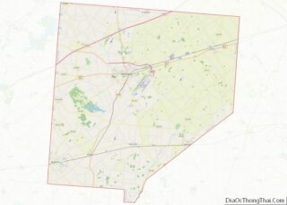
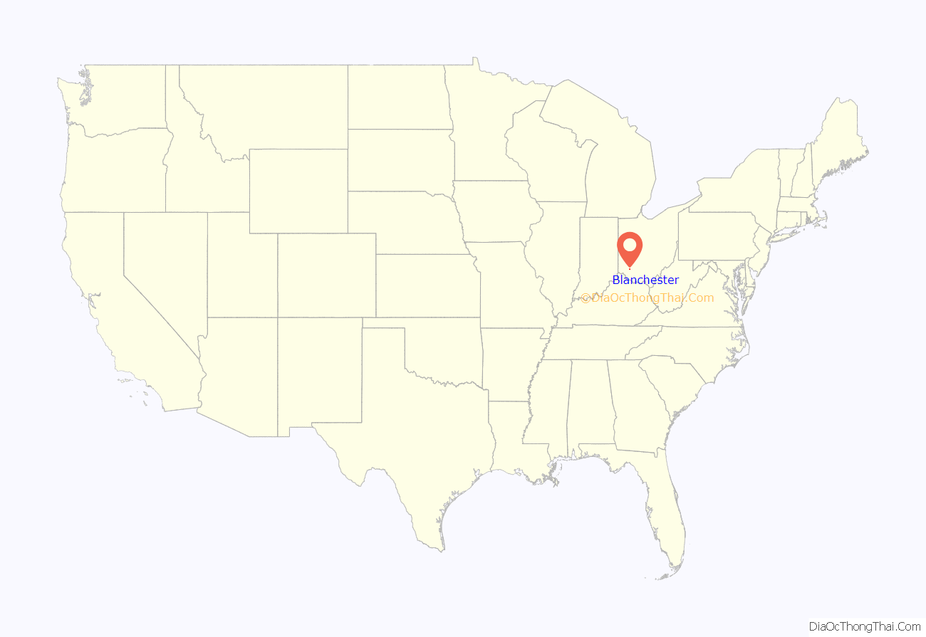
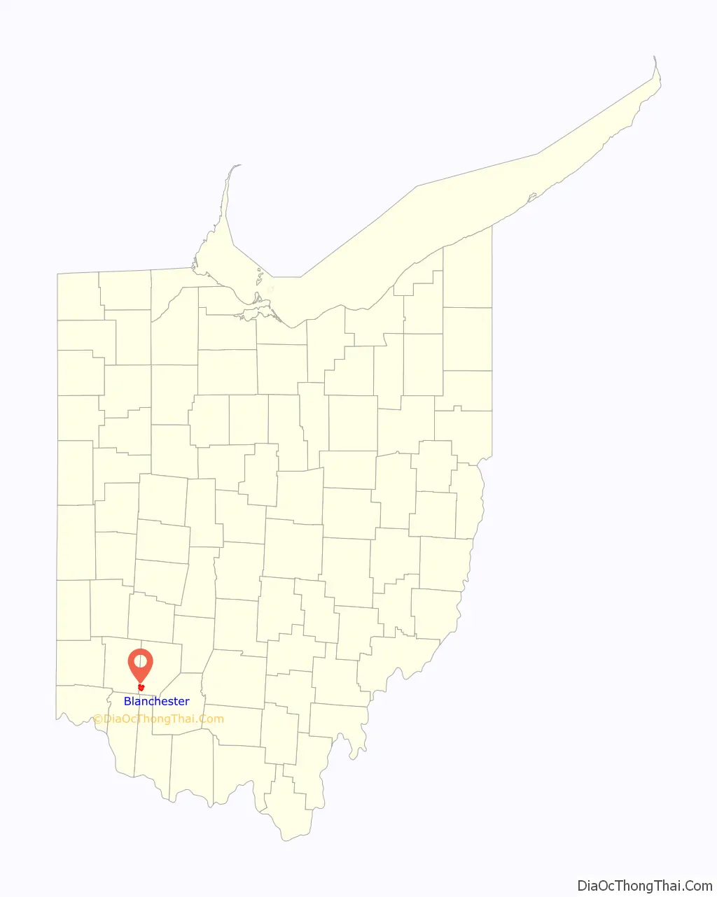
Blanchester location map. Where is Blanchester village?
History
Blanchester was laid out in 1832 by Joseph and John Blancett, and named for them.
In March of 2020, the historic Bindley Block building burnt down.
Blanchester Road Map
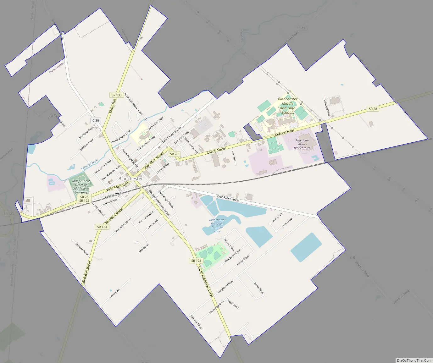
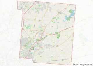
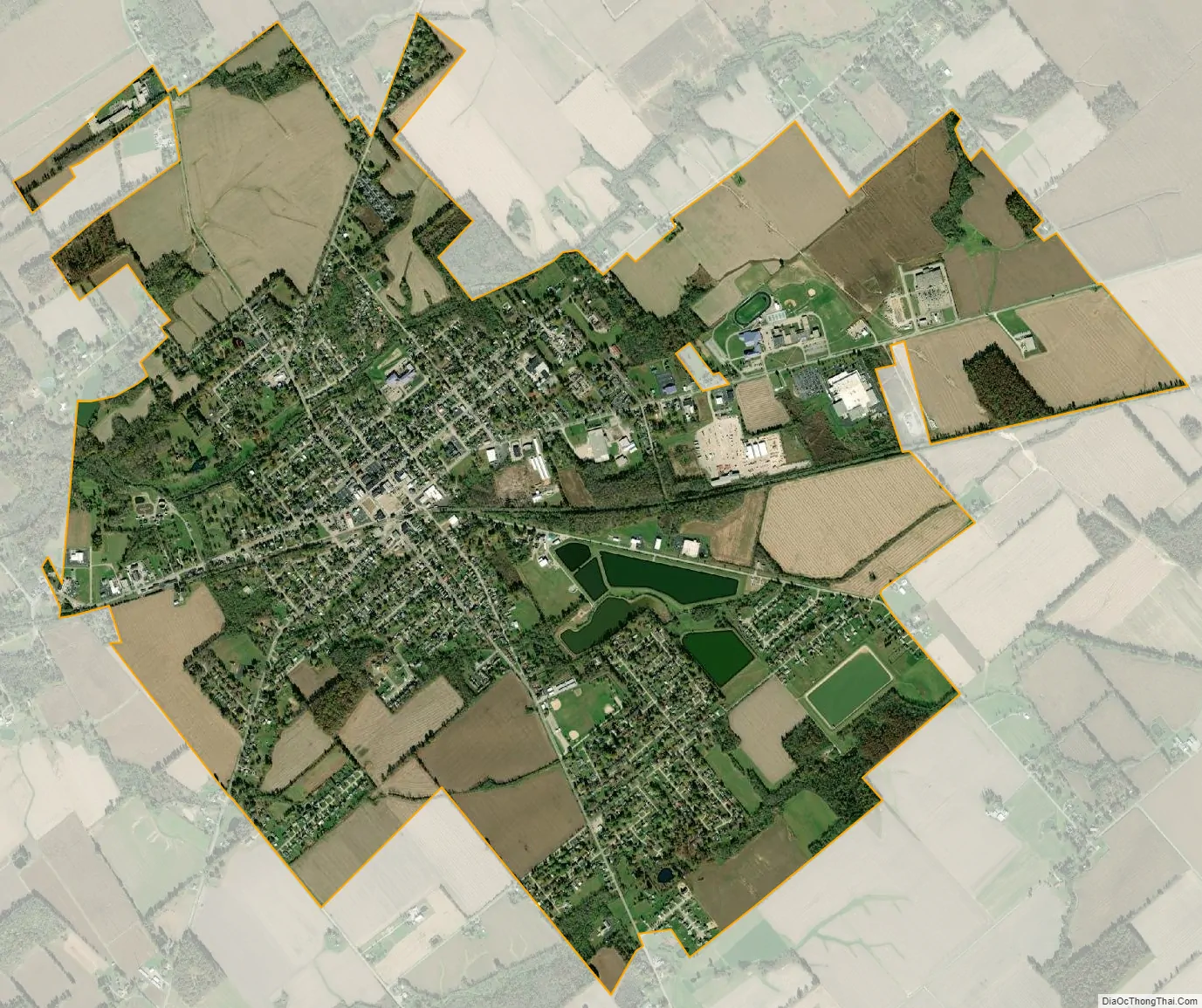
Blanchester city Satellite Map
Geography
Blanchester is located at 39°17′32″N 83°59′9″W / 39.29222°N 83.98583°W / 39.29222; -83.98583 (39.292314, -83.985769).
According to the United States Census Bureau, the village has a total area of 4.25 square miles (11.01 km), of which 4.15 square miles (10.75 km) is land and 0.10 square miles (0.26 km) is water. There is no other community named “Blanchester” in the world.
See also
Map of Ohio State and its subdivision:- Adams
- Allen
- Ashland
- Ashtabula
- Athens
- Auglaize
- Belmont
- Brown
- Butler
- Carroll
- Champaign
- Clark
- Clermont
- Clinton
- Columbiana
- Coshocton
- Crawford
- Cuyahoga
- Darke
- Defiance
- Delaware
- Erie
- Fairfield
- Fayette
- Franklin
- Fulton
- Gallia
- Geauga
- Greene
- Guernsey
- Hamilton
- Hancock
- Hardin
- Harrison
- Henry
- Highland
- Hocking
- Holmes
- Huron
- Jackson
- Jefferson
- Knox
- Lake
- Lake Erie
- Lawrence
- Licking
- Logan
- Lorain
- Lucas
- Madison
- Mahoning
- Marion
- Medina
- Meigs
- Mercer
- Miami
- Monroe
- Montgomery
- Morgan
- Morrow
- Muskingum
- Noble
- Ottawa
- Paulding
- Perry
- Pickaway
- Pike
- Portage
- Preble
- Putnam
- Richland
- Ross
- Sandusky
- Scioto
- Seneca
- Shelby
- Stark
- Summit
- Trumbull
- Tuscarawas
- Union
- Van Wert
- Vinton
- Warren
- Washington
- Wayne
- Williams
- Wood
- Wyandot
- Alabama
- Alaska
- Arizona
- Arkansas
- California
- Colorado
- Connecticut
- Delaware
- District of Columbia
- Florida
- Georgia
- Hawaii
- Idaho
- Illinois
- Indiana
- Iowa
- Kansas
- Kentucky
- Louisiana
- Maine
- Maryland
- Massachusetts
- Michigan
- Minnesota
- Mississippi
- Missouri
- Montana
- Nebraska
- Nevada
- New Hampshire
- New Jersey
- New Mexico
- New York
- North Carolina
- North Dakota
- Ohio
- Oklahoma
- Oregon
- Pennsylvania
- Rhode Island
- South Carolina
- South Dakota
- Tennessee
- Texas
- Utah
- Vermont
- Virginia
- Washington
- West Virginia
- Wisconsin
- Wyoming