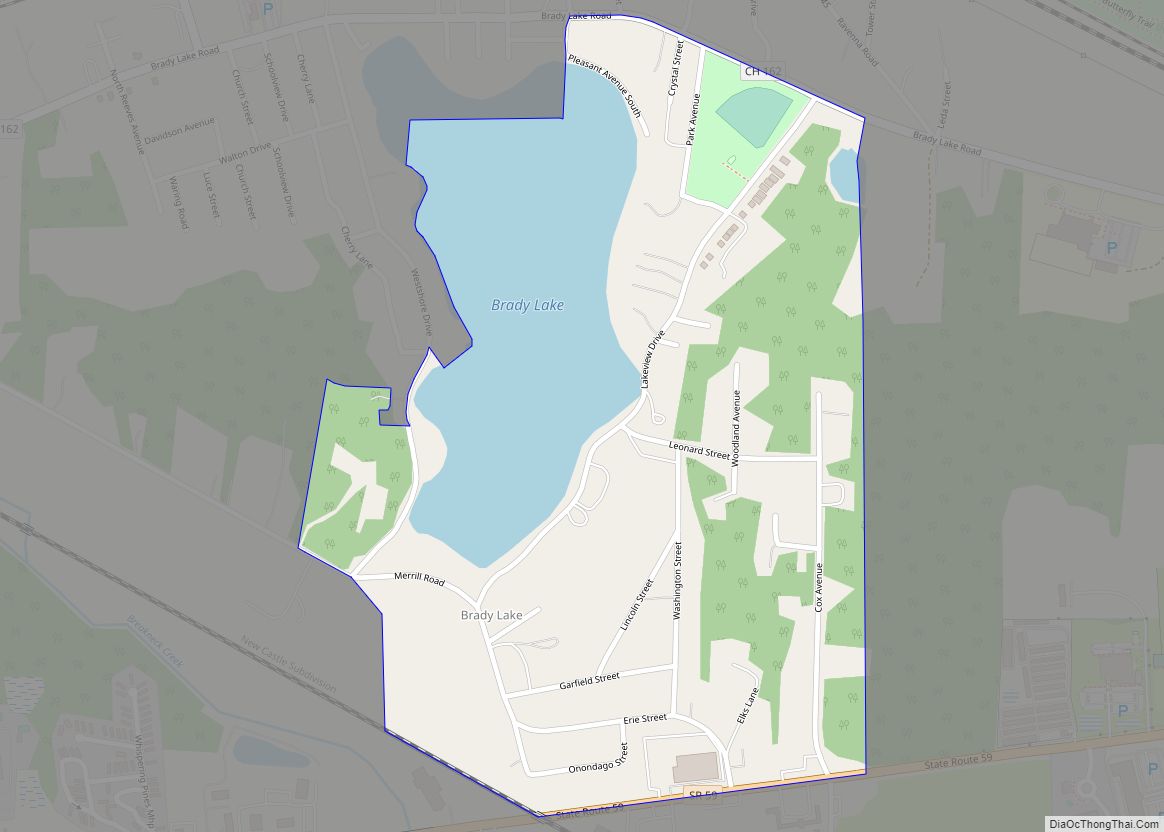
Brady Lake is an unincorporated census-designated place and former village in Portage County, Ohio, United States. The population was 1,222 at the 2020 census. Incorporated in 1927, it originally developed as an amusement park and summer resort that opened in 1891. It was formed from a small portion of Franklin Township and became fully independent of the township in 1993. The village was named after the lake it borders, Brady Lake, which in turn was named for Captain Samuel Brady, who hid in the lake around 1780 while being pursued by a band of local Native Americans.
Residents voted to dissolve the village on May 2, 2017, and the area was again made part of Franklin Township. In 2019, the United States Census Bureau created the Brady Lake census-designated place (CDP), an area that includes the entire former village as well as the immediate surrounding area. The CDP is part of the Akron metropolitan area.
| Name: | Brady Lake CDP |
|---|---|
| LSAD Code: | 57 |
| LSAD Description: | CDP (suffix) |
| State: | Ohio |
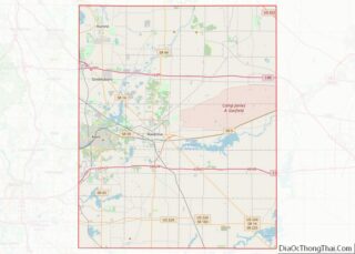
| County: | Portage County |
| Founded: | 1891 |
| Incorporated: | 1927 |
| Elevation: | 1,076 ft (328 m) |
| Total Area: | 1.44 sq mi (3.74 km²) |
| Land Area: | 1.32 sq mi (3.43 km²) |
| Water Area: | 0.12 sq mi (0.31 km²) |
| Total Population: | 1,222 |
| Population Density: | 922.26/sq mi (356.20/km²) |
| ZIP code: | 44240, 44266 |
| Area code: | 330, 234 |
| FIPS code: | 3908168 |
| GNISfeature ID: | 1064476 |
Online Interactive Map
Click on ![]() to view map in "full screen" mode.
to view map in "full screen" mode.
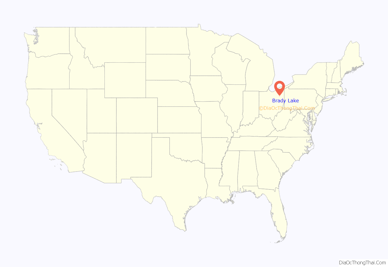
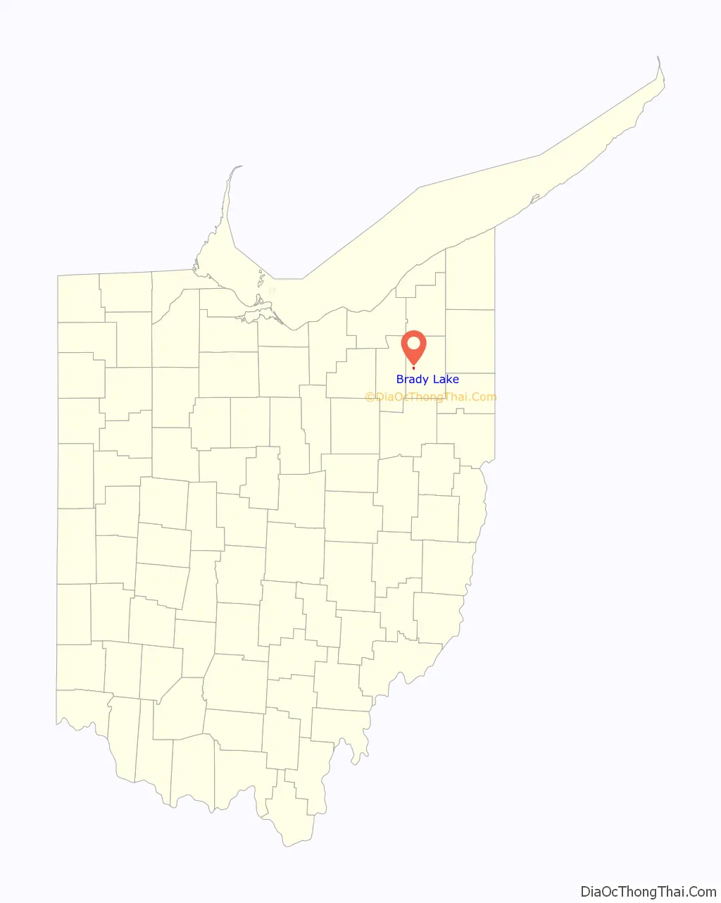
Brady Lake location map. Where is Brady Lake CDP?
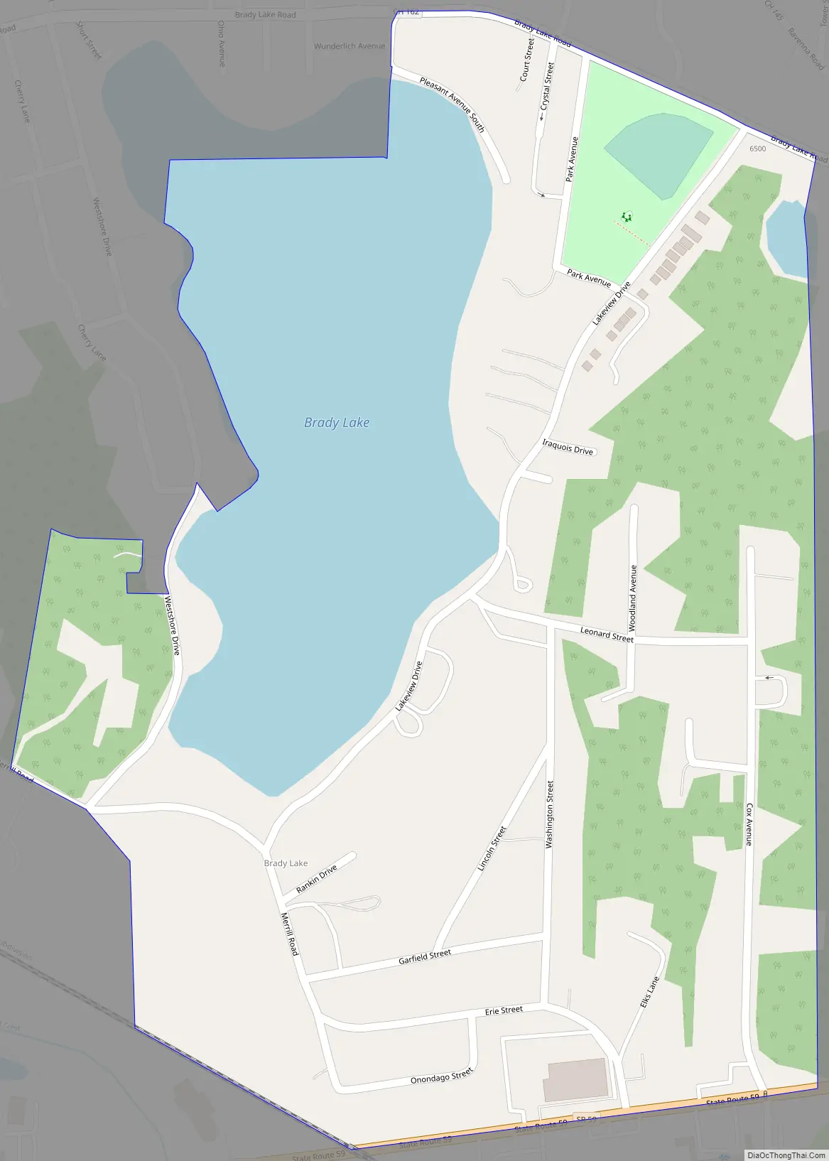
Brady Lake Road Map
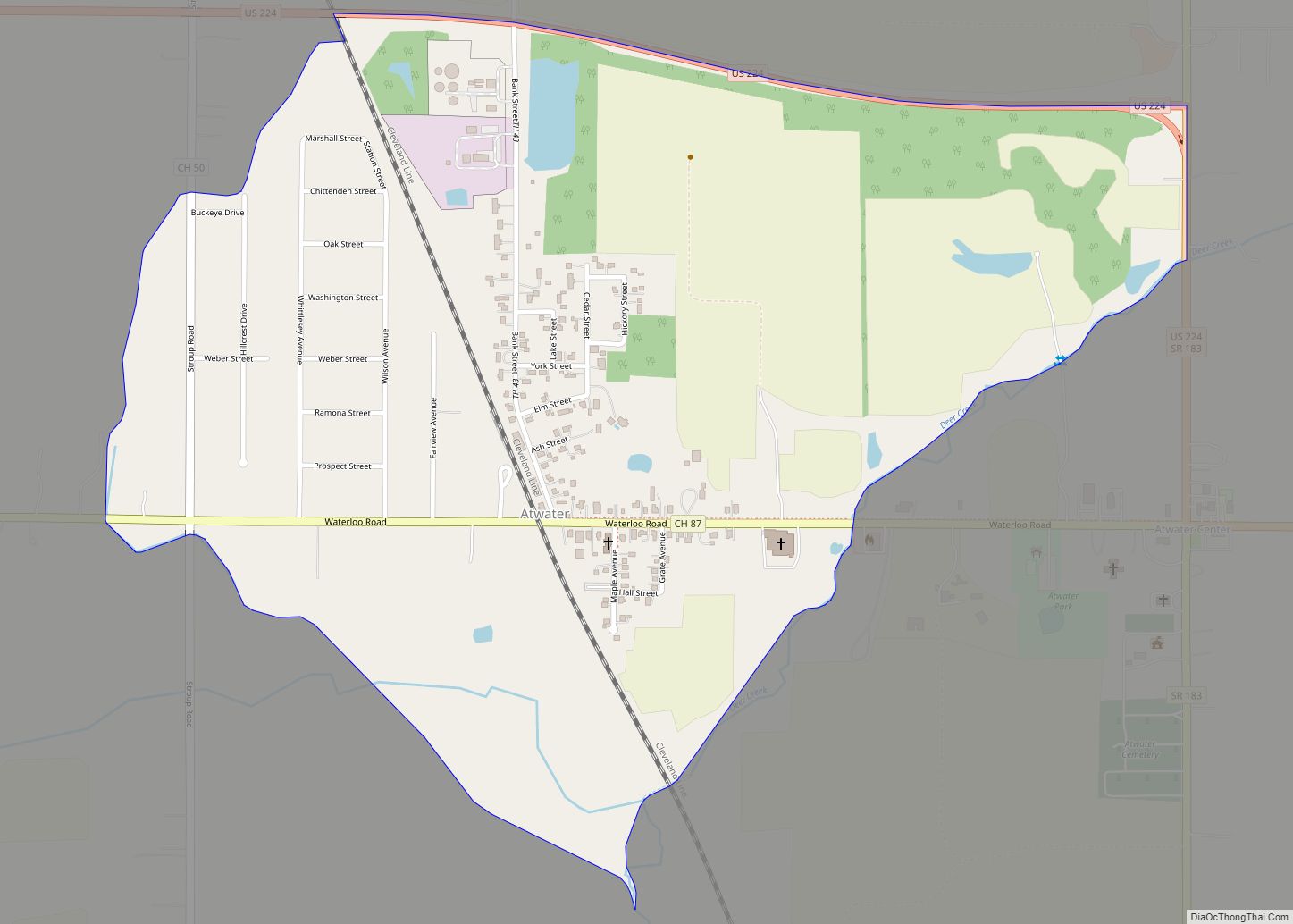
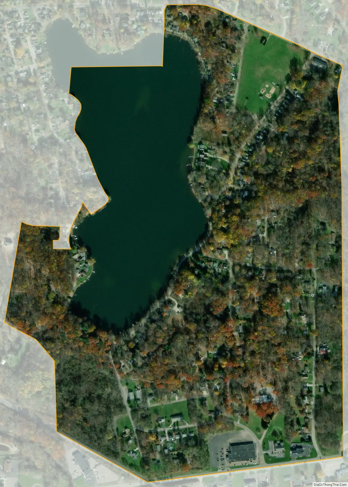
Brady Lake city Satellite Map
Geography
Brady Lake is located at 41°09′48″N 81°18′46″W / 41.163329°N 81.312803°W / 41.163329; -81.312803 (41.163329, −81.312803). According to the United States Census Bureau, in 2010 the village had a total area of 0.41 square miles (1.06 km), of which 0.31 square miles (0.80 km) was land and 0.10 square miles (0.26 km) was water.
The community is situated along the southern and eastern shores of Brady Lake.
Nearby communities
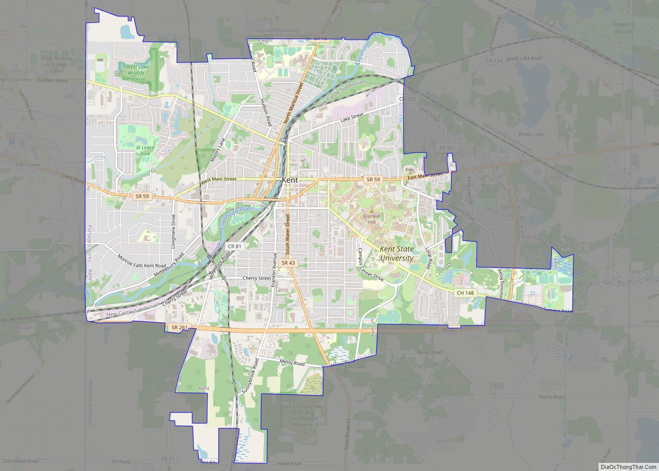
Located in west-central Portage County, the village of Brady Lake only physically bordered Franklin Township, which completely surrounded the village. The larger CDP borders Kent on the west and Ravenna Township on the east. Other nearby communities include:
- Ravenna to the east
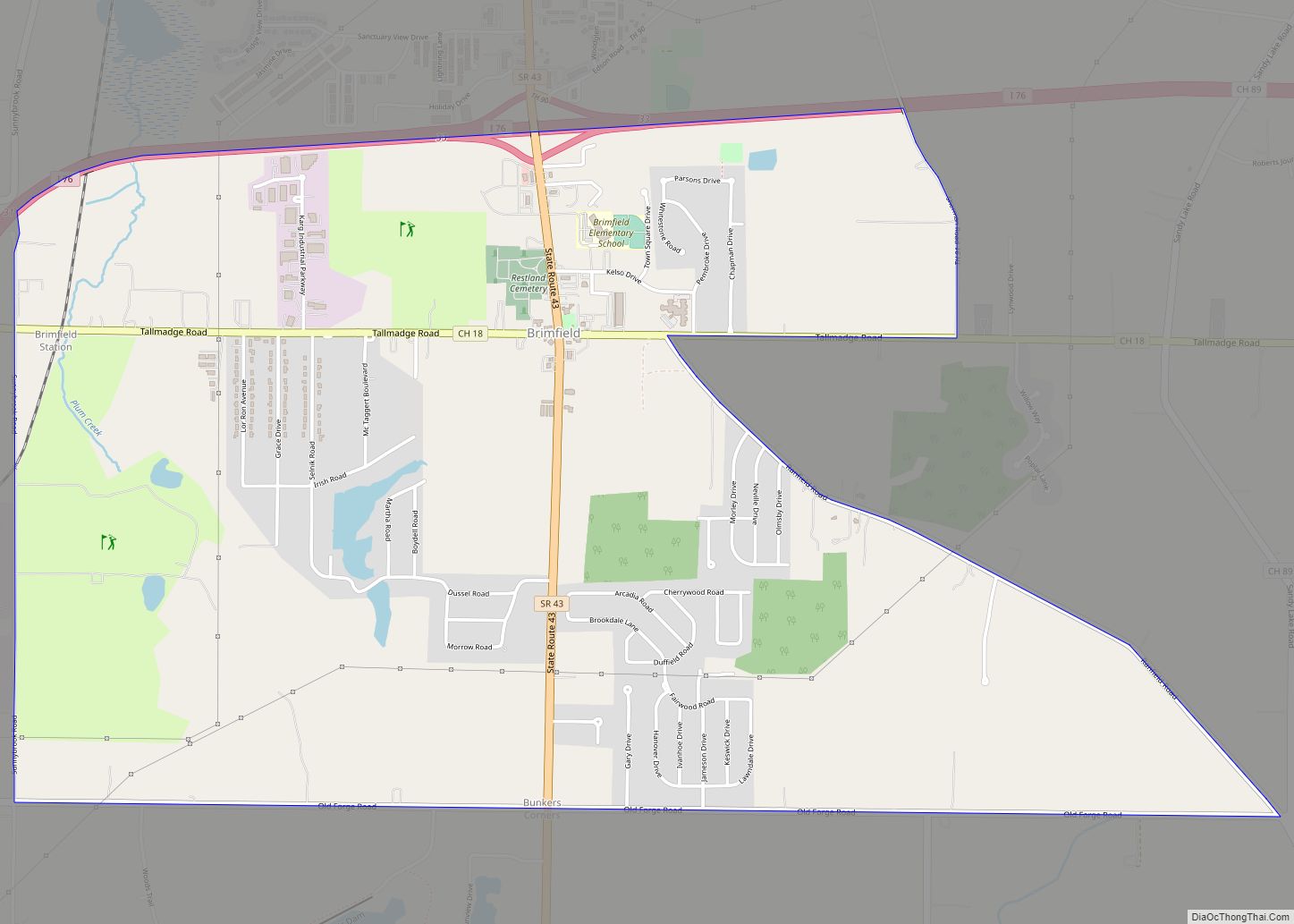
- Brimfield Township to the south
- Streetsboro and Sugar Bush Knolls to the north
Transportation
Ohio State Route 59 skirts the southern edge of Brady Lake for a short distance just east of the Kent city limits. It, along with Brady Lake Road along the north side of the community, are the main roads connecting the area with Kent and Ravenna. For public transportation, it is served by the Portage Area Regional Transportation Authority (PARTA).
ZIP and area codes
Until September 2019, Brady Lake had its own post office and ZIP code (Brady Lake, OH 44211), though it was a contracted post office and was only used for mailbox rentals with PO box addresses. The eastern part of the community is in the Ravenna, OH 44266 ZIP code while the western side uses the Kent, OH 44240 ZIP code for home-delivered mail.
For telephone use, Brady Lake is part of the 330 and 234 and area codes, which includes the Akron–Canton and Youngstown areas of Northeast Ohio.
See also
Map of Ohio State and its subdivision:- Adams
- Allen
- Ashland
- Ashtabula
- Athens
- Auglaize
- Belmont
- Brown
- Butler
- Carroll
- Champaign
- Clark
- Clermont
- Clinton
- Columbiana
- Coshocton
- Crawford
- Cuyahoga
- Darke
- Defiance
- Delaware
- Erie
- Fairfield
- Fayette
- Franklin
- Fulton
- Gallia
- Geauga
- Greene
- Guernsey
- Hamilton
- Hancock
- Hardin
- Harrison
- Henry
- Highland
- Hocking
- Holmes
- Huron
- Jackson
- Jefferson
- Knox
- Lake
- Lake Erie
- Lawrence
- Licking
- Logan
- Lorain
- Lucas
- Madison
- Mahoning
- Marion
- Medina
- Meigs
- Mercer
- Miami
- Monroe
- Montgomery
- Morgan
- Morrow
- Muskingum
- Noble
- Ottawa
- Paulding
- Perry
- Pickaway
- Pike
- Portage
- Preble
- Putnam
- Richland
- Ross
- Sandusky
- Scioto
- Seneca
- Shelby
- Stark
- Summit
- Trumbull
- Tuscarawas
- Union
- Van Wert
- Vinton
- Warren
- Washington
- Wayne
- Williams
- Wood
- Wyandot
- Alabama
- Alaska
- Arizona
- Arkansas
- California
- Colorado
- Connecticut
- Delaware
- District of Columbia
- Florida
- Georgia
- Hawaii
- Idaho
- Illinois
- Indiana
- Iowa
- Kansas
- Kentucky
- Louisiana
- Maine
- Maryland
- Massachusetts
- Michigan
- Minnesota
- Mississippi
- Missouri
- Montana
- Nebraska
- Nevada
- New Hampshire
- New Jersey
- New Mexico
- New York
- North Carolina
- North Dakota
- Ohio
- Oklahoma
- Oregon
- Pennsylvania
- Rhode Island
- South Carolina
- South Dakota
- Tennessee
- Texas
- Utah
- Vermont
- Virginia
- Washington
- West Virginia
- Wisconsin
- Wyoming