Columbiana is a city in northern Columbiana and southern Mahoning counties in the U.S. state of Ohio. The population was 6,559 at the 2020 census. It is part of the Salem micropolitan area and the Youngstown–Warren metropolitan area.
The city hosts the annual Shaker Woods Arts & Crafts Festival, which brings national attention to the city in the summer and fall seasons. The childhood home of notable inventor and businessman Harvey S. Firestone, Columbiana is home to the 1930s-themed Firestone Farms shopping and business park. In 2019, Columbiana was named “The Nicest Place In America” by Reader’s Digest.
| Name: | Columbiana city |
|---|---|
| LSAD Code: | 25 |
| LSAD Description: | city (suffix) |
| State: | Ohio |
| County: | Columbiana County, Mahoning County |
| Elevation: | 1,158 ft (353 m) |
| Total Area: | 6.15 sq mi (15.94 km²) |
| Land Area: | 6.08 sq mi (15.75 km²) |
| Water Area: | 0.07 sq mi (0.19 km²) |
| Total Population: | 6,559 |
| Population Density: | 1,078.61/sq mi (416.45/km²) |
| ZIP code: | 44408 |
| Area code: | 330, 234 |
| FIPS code: | 3917036 |
| GNISfeature ID: | 1060989 |
| Website: | www.columbianaohio.gov |
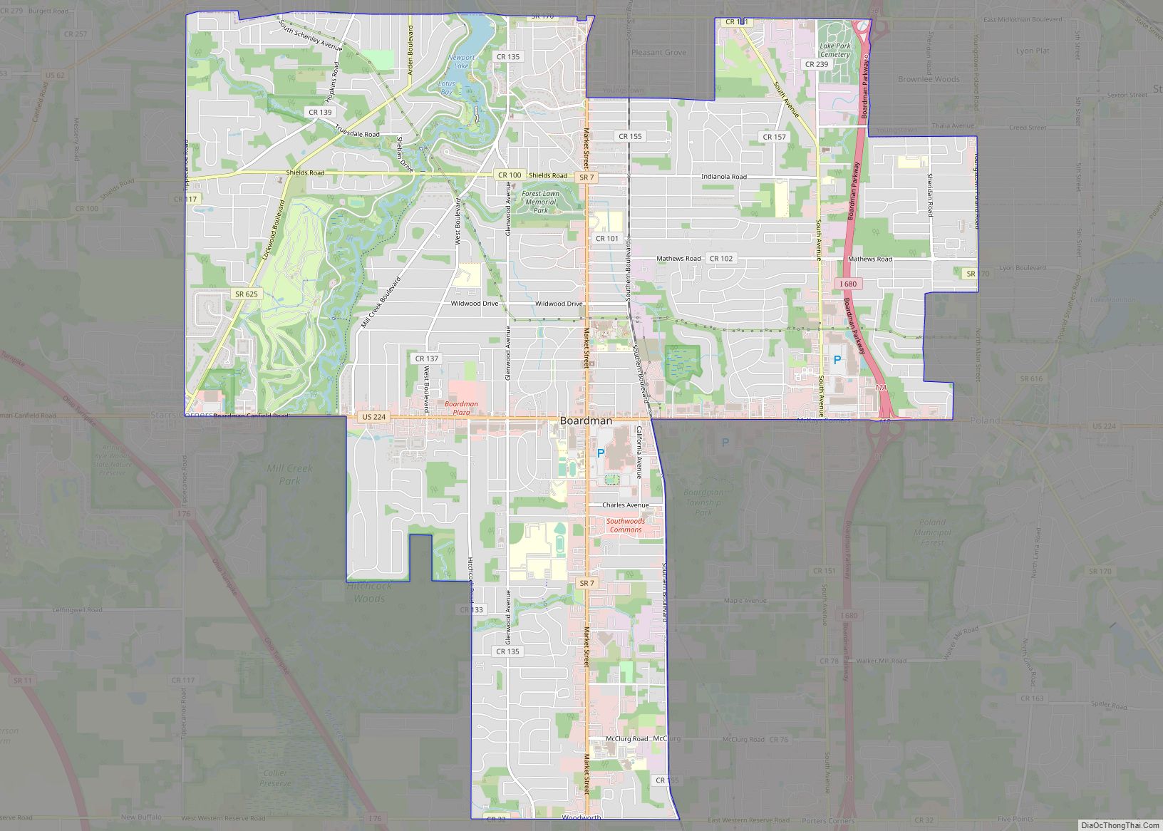
Online Interactive Map
Click on ![]() to view map in "full screen" mode.
to view map in "full screen" mode.
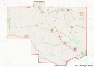
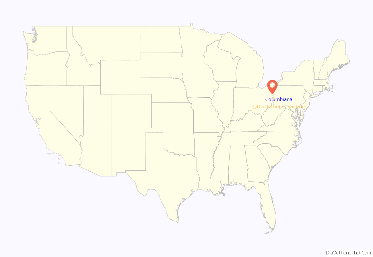
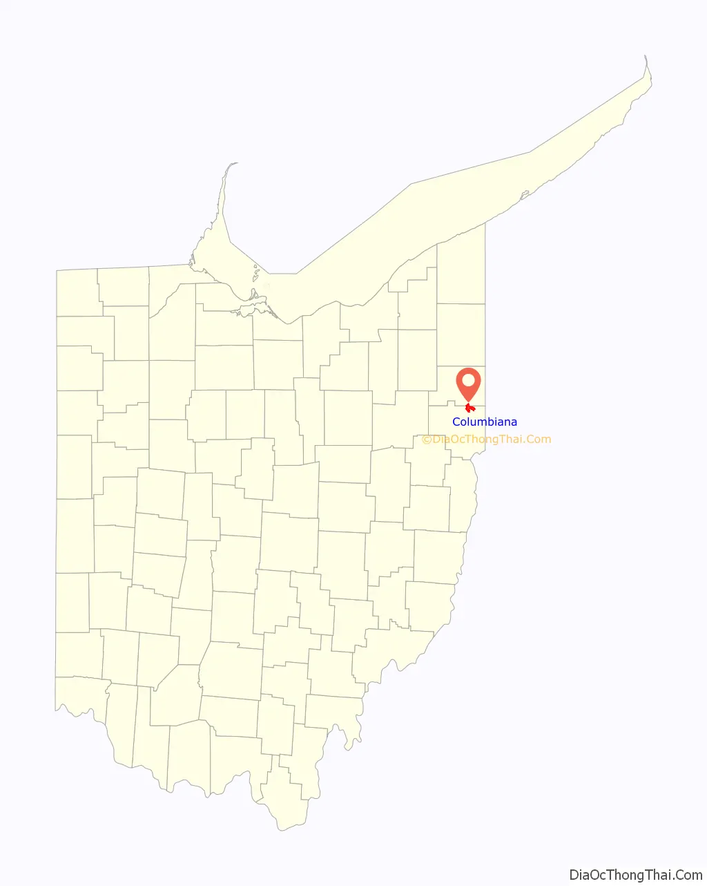
Columbiana location map. Where is Columbiana city?
History
Columbiana was laid out by Joshua Dixon and William Heald in 1805. The city takes its name from Columbiana County, which itself is named in honor of Christopher Columbus, combining his surname with the mass noun suffix -iana. Columbiana was incorporated as a village in 1837. The village officially became a city in 2000.
Columbiana Road Map
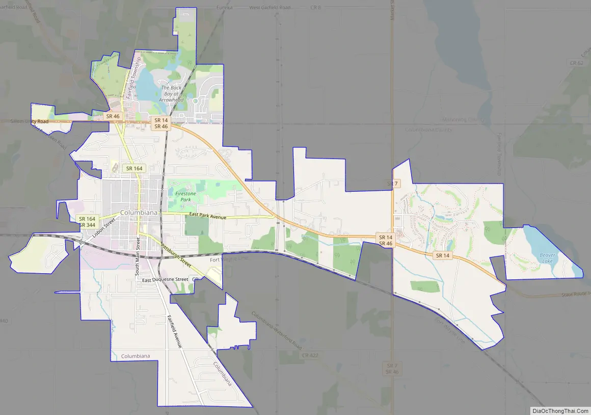
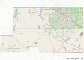
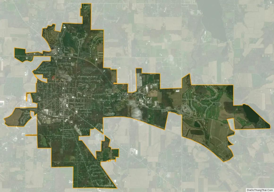
Columbiana city Satellite Map
Geography
Columbiana is located at 40°53′8″N 80°41′18″W / 40.88556°N 80.68833°W / 40.88556; -80.68833 (40.885579, -80.688327). Most of the city is located in Fairfield Township, Columbiana County, which in turn includes most of Columbiana’s incorporated land in Columbiana County. A district of northern Columbiana lies in Beaver Township, Mahoning County, and another small portion to the east lies in Unity Township, Columbiana County.
According to the United States Census Bureau, the city has a total area of 6.14 square miles (15.90 km), of which 6.00 square miles (15.54 km) is land and 0.14 square miles (0.36 km) is water.
See also
Map of Ohio State and its subdivision:- Adams
- Allen
- Ashland
- Ashtabula
- Athens
- Auglaize
- Belmont
- Brown
- Butler
- Carroll
- Champaign
- Clark
- Clermont
- Clinton
- Columbiana
- Coshocton
- Crawford
- Cuyahoga
- Darke
- Defiance
- Delaware
- Erie
- Fairfield
- Fayette
- Franklin
- Fulton
- Gallia
- Geauga
- Greene
- Guernsey
- Hamilton
- Hancock
- Hardin
- Harrison
- Henry
- Highland
- Hocking
- Holmes
- Huron
- Jackson
- Jefferson
- Knox
- Lake
- Lake Erie
- Lawrence
- Licking
- Logan
- Lorain
- Lucas
- Madison
- Mahoning
- Marion
- Medina
- Meigs
- Mercer
- Miami
- Monroe
- Montgomery
- Morgan
- Morrow
- Muskingum
- Noble
- Ottawa
- Paulding
- Perry
- Pickaway
- Pike
- Portage
- Preble
- Putnam
- Richland
- Ross
- Sandusky
- Scioto
- Seneca
- Shelby
- Stark
- Summit
- Trumbull
- Tuscarawas
- Union
- Van Wert
- Vinton
- Warren
- Washington
- Wayne
- Williams
- Wood
- Wyandot
- Alabama
- Alaska
- Arizona
- Arkansas
- California
- Colorado
- Connecticut
- Delaware
- District of Columbia
- Florida
- Georgia
- Hawaii
- Idaho
- Illinois
- Indiana
- Iowa
- Kansas
- Kentucky
- Louisiana
- Maine
- Maryland
- Massachusetts
- Michigan
- Minnesota
- Mississippi
- Missouri
- Montana
- Nebraska
- Nevada
- New Hampshire
- New Jersey
- New Mexico
- New York
- North Carolina
- North Dakota
- Ohio
- Oklahoma
- Oregon
- Pennsylvania
- Rhode Island
- South Carolina
- South Dakota
- Tennessee
- Texas
- Utah
- Vermont
- Virginia
- Washington
- West Virginia
- Wisconsin
- Wyoming