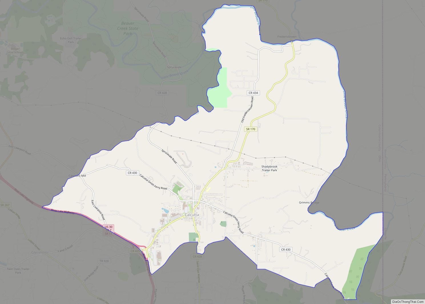
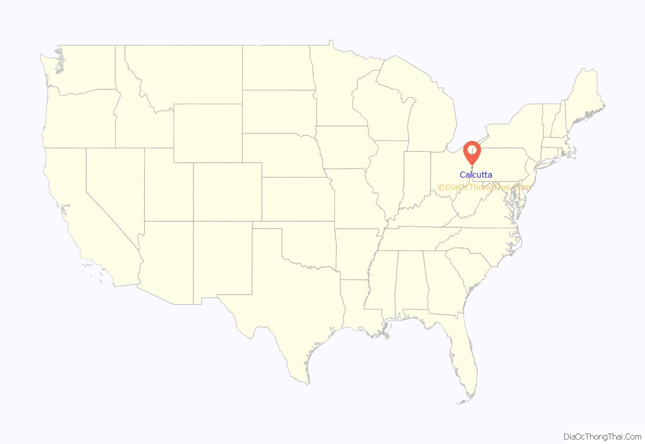
Calcutta is an unincorporated community and census-designated place in southeastern Columbiana County, Ohio, United States. The population was 3,941 at the 2020 census. It is part of the Salem micropolitan area, 30 miles (48 km) south of Youngstown and 35 miles (56 km) northwest of Pittsburgh. Historically a rural town, Calcutta grew as businesses from neighboring East Liverpool moved into larger shopping centers clustered around Ohio State Route 170.
| Name: | Calcutta CDP |
|---|---|
| LSAD Code: | 57 |
| LSAD Description: | CDP (suffix) |
| State: | Ohio |
| County: | Columbiana County |
| Elevation: | 1,115 ft (340 m) |
| Total Area: | 12.18 sq mi (31.56 km²) |
| Land Area: | 12.17 sq mi (31.52 km²) |
| Water Area: | 0.01 sq mi (0.03 km²) |
| Total Population: | 3,941 |
| Population Density: | 323.80/sq mi (125.02/km²) |
| ZIP code: | 43920 |
| Area code: | 330, 234 |
| FIPS code: | 3910926 |
| GNISfeature ID: | 1056753 |
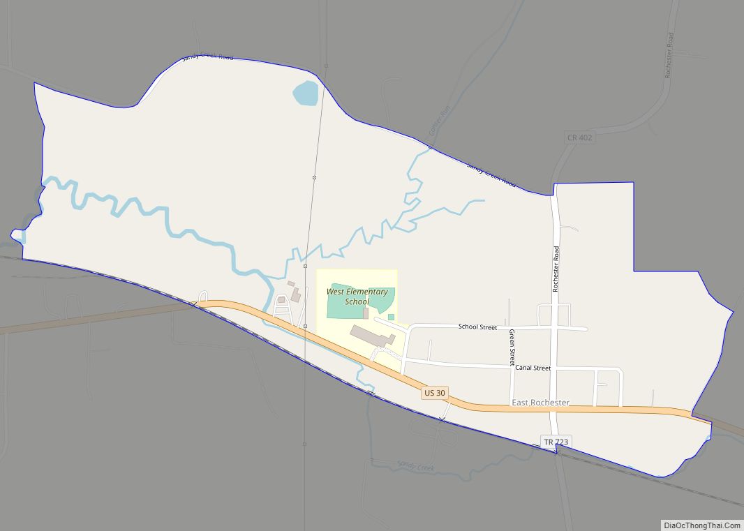
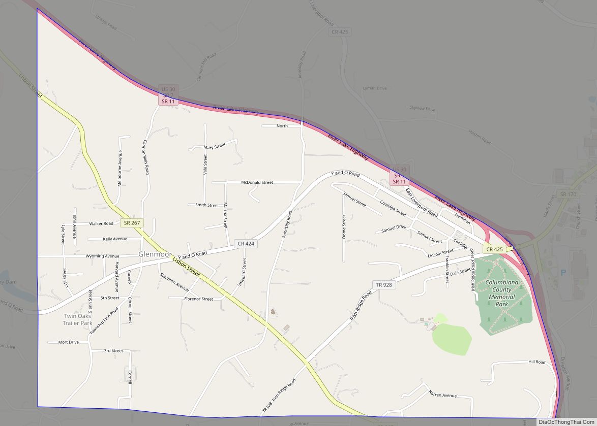
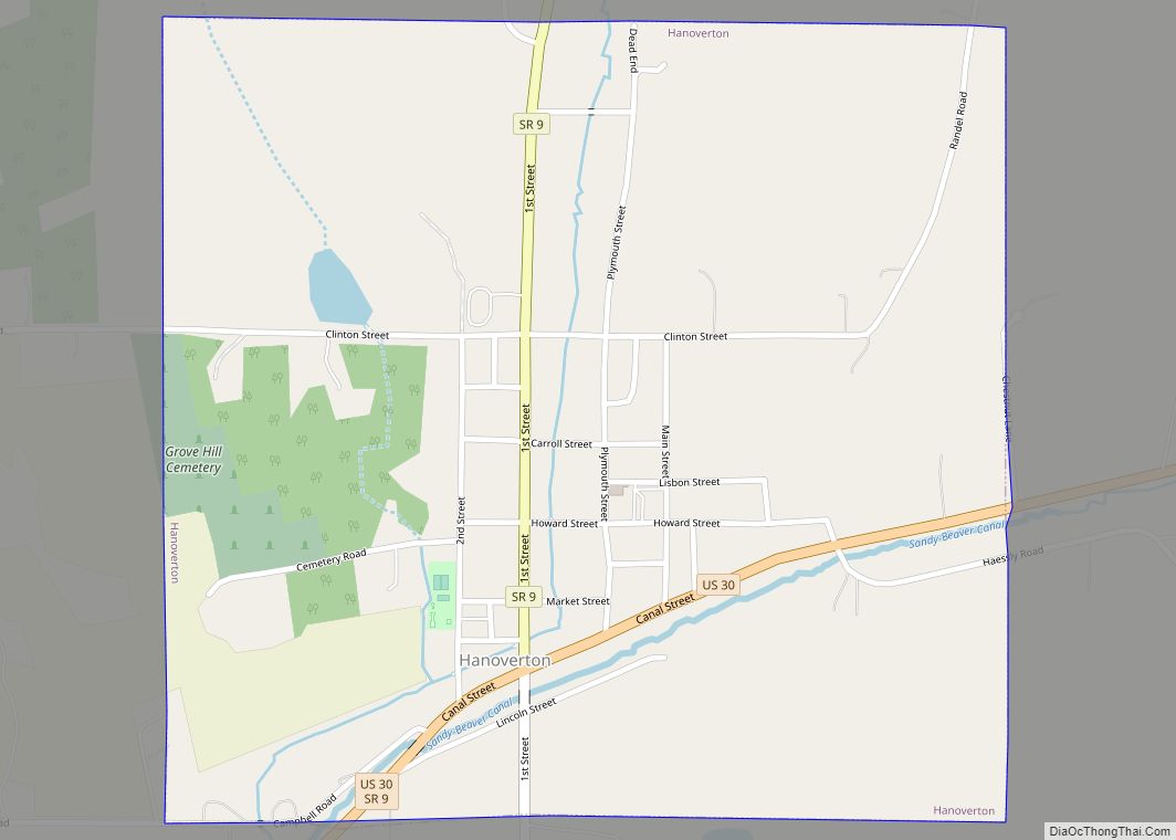
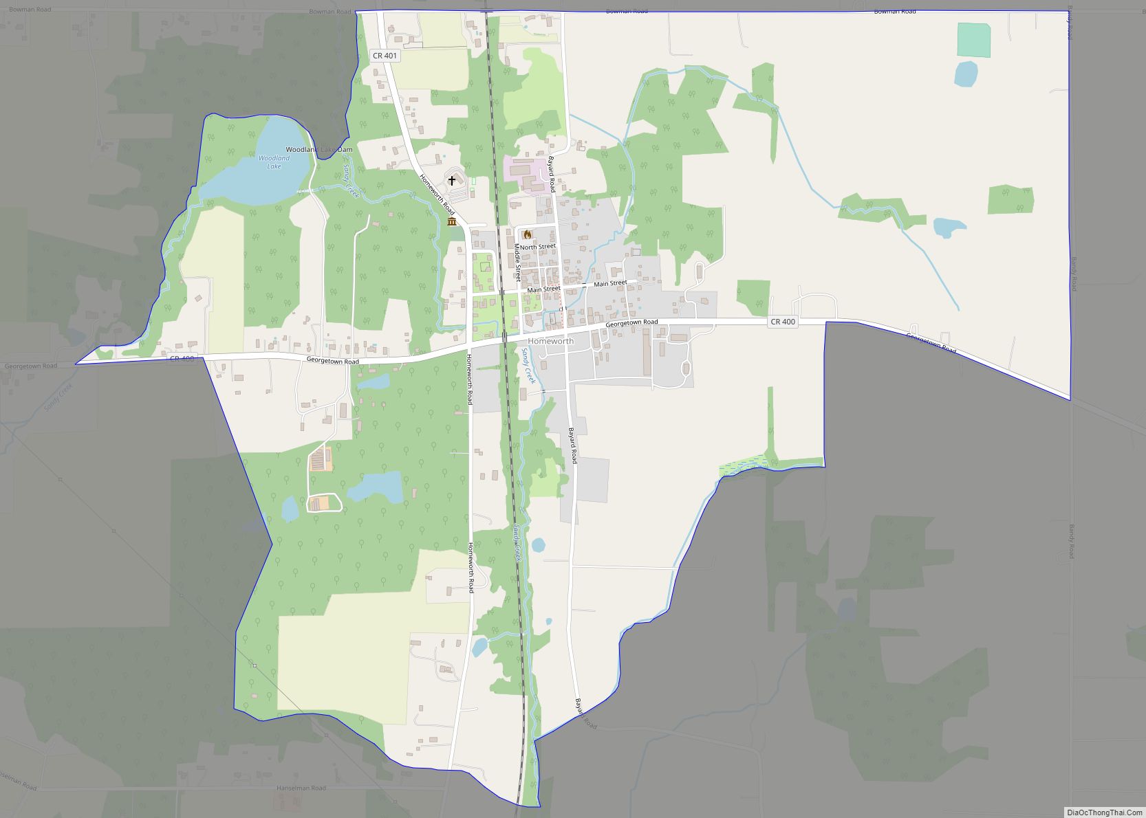
Online Interactive Map
Click on ![]() to view map in "full screen" mode.
to view map in "full screen" mode.
Calcutta location map. Where is Calcutta CDP?

History
The first permanent settlement in the area was in 1792 or 1793, by hunter John Quinn. Calcutta was laid out in 1810 as West Union. It had also been called Foulkstown after William Foulks, who built the first brick house there, as well as Nineveh, after the Biblical city of the same name. Finally, it was renamed after the Indian city of Kolkata, formerly Anglicized as Calcutta. A post office called Calcutta was established in 1838, and remained in operation until 1913.
Calcutta Road Map
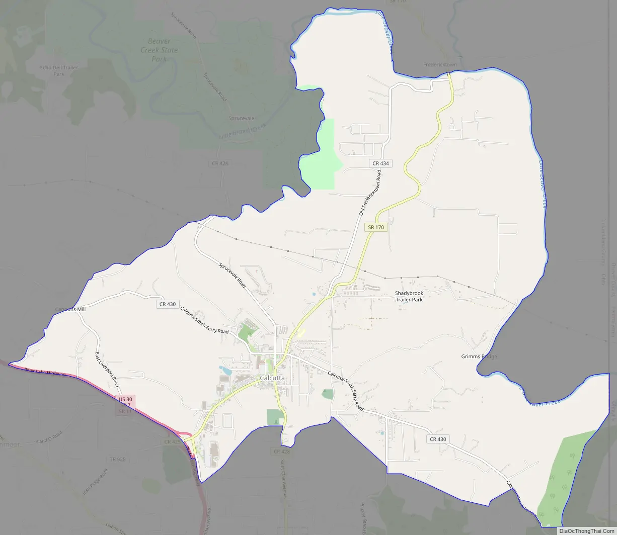
Calcutta city Satellite Map

Geography
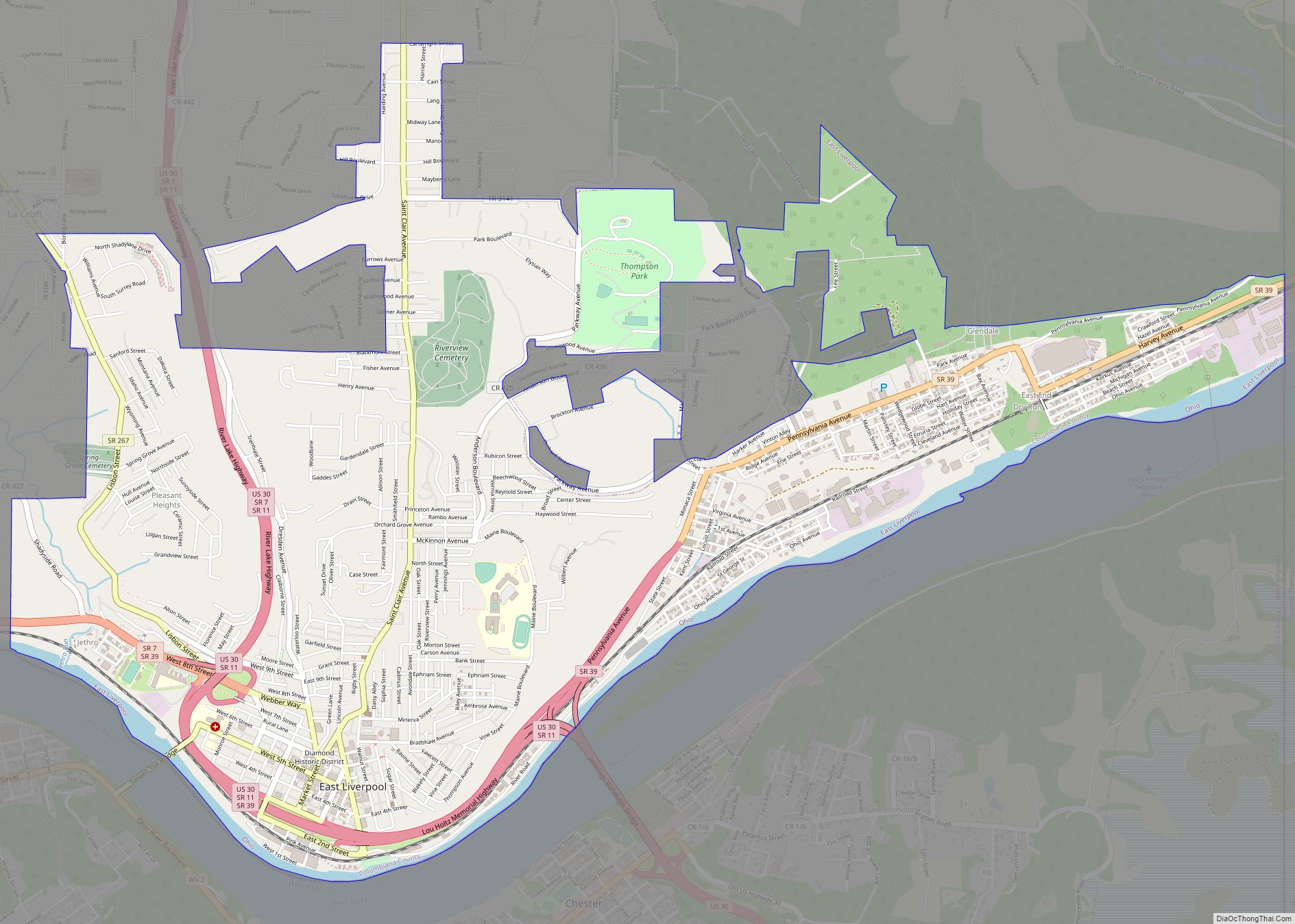
Calcutta is located near the center of St. Clair Township at 40°40′56″N 80°34′13″W / 40.68222°N 80.57028°W / 40.68222; -80.57028 (40.682271, -80.570204) in southeastern Columbiana County. The Calcutta CDP extends southwest as far as the U.S. Route 30 expressway, and east and north as far Little Beaver Creek, touching the Pennsylvania state line where the creek crosses the border briefly. The CDP is bordered by Longs Run, a tributary of Little Beaver Creek, on the northwest. To the southwest of Calcutta, across US 30, is the CDP of Glenmoor. The city of East Liverpool is 4 miles (6 km) to the south via St. Clair Avenue.
The following highways pass through Calcutta:
- U.S. Route 30
- State Route 11
- State Route 170
According to the United States Census Bureau, the Calcutta CDP has a total area of 11.88 square miles (30.76 km), of which 11.86 square miles (30.73 km) is land and 0.012 square miles (0.03 km), or 0.11%, is water.
See also
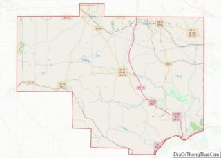
Map of Ohio State and its subdivision:- Adams
- Allen
- Ashland
- Ashtabula
- Athens
- Auglaize
- Belmont
- Brown
- Butler
- Carroll
- Champaign
- Clark
- Clermont
- Clinton
- Columbiana
- Coshocton
- Crawford
- Cuyahoga
- Darke
- Defiance
- Delaware
- Erie
- Fairfield
- Fayette
- Franklin
- Fulton
- Gallia
- Geauga
- Greene
- Guernsey
- Hamilton
- Hancock
- Hardin
- Harrison
- Henry
- Highland
- Hocking
- Holmes
- Huron
- Jackson
- Jefferson
- Knox
- Lake
- Lake Erie
- Lawrence
- Licking
- Logan
- Lorain
- Lucas
- Madison
- Mahoning
- Marion
- Medina
- Meigs
- Mercer
- Miami
- Monroe
- Montgomery
- Morgan
- Morrow
- Muskingum
- Noble
- Ottawa
- Paulding
- Perry
- Pickaway
- Pike
- Portage
- Preble
- Putnam
- Richland
- Ross
- Sandusky
- Scioto
- Seneca
- Shelby
- Stark
- Summit
- Trumbull
- Tuscarawas
- Union
- Van Wert
- Vinton
- Warren
- Washington
- Wayne
- Williams
- Wood
- Wyandot
- Alabama
- Alaska
- Arizona
- Arkansas
- California
- Colorado
- Connecticut
- Delaware
- District of Columbia
- Florida
- Georgia
- Hawaii
- Idaho
- Illinois
- Indiana
- Iowa
- Kansas
- Kentucky
- Louisiana
- Maine
- Maryland
- Massachusetts
- Michigan
- Minnesota
- Mississippi
- Missouri
- Montana
- Nebraska
- Nevada
- New Hampshire
- New Jersey
- New Mexico
- New York
- North Carolina
- North Dakota
- Ohio
- Oklahoma
- Oregon
- Pennsylvania
- Rhode Island
- South Carolina
- South Dakota
- Tennessee
- Texas
- Utah
- Vermont
- Virginia
- Washington
- West Virginia
- Wisconsin
- Wyoming