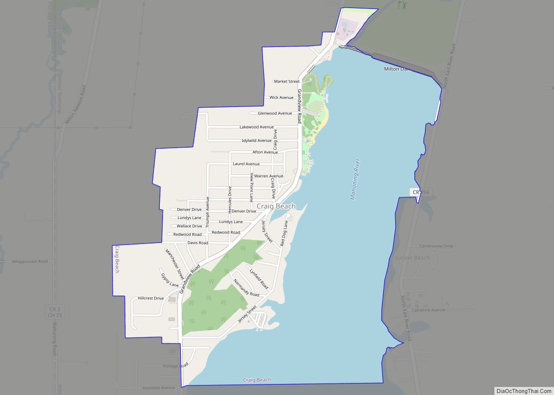
Craig Beach is a village in northwestern Mahoning County, Ohio, United States. Located along the shores of Lake Milton, the population was 1,076 at the 2020 census. It is part of the Youngstown–Warren metropolitan area.
| Name: | Craig Beach village |
|---|---|
| LSAD Code: | 47 |
| LSAD Description: | village (suffix) |
| State: | Ohio |
| County: | Mahoning County |
| Elevation: | 958 ft (292 m) |
| Total Area: | 1.57 sq mi (4.06 km²) |
| Land Area: | 0.78 sq mi (2.03 km²) |
| Water Area: | 0.79 sq mi (2.03 km²) |
| Total Population: | 1,076 |
| Population Density: | 1,372.45/sq mi (529.65/km²) |
| ZIP code: | 44429 |
| Area code: | 330, 234 |
| FIPS code: | 3919106 |
| GNISfeature ID: | 1048638 |
| Website: | www.craigbeachvillage.com |
Online Interactive Map
Click on ![]() to view map in "full screen" mode.
to view map in "full screen" mode.
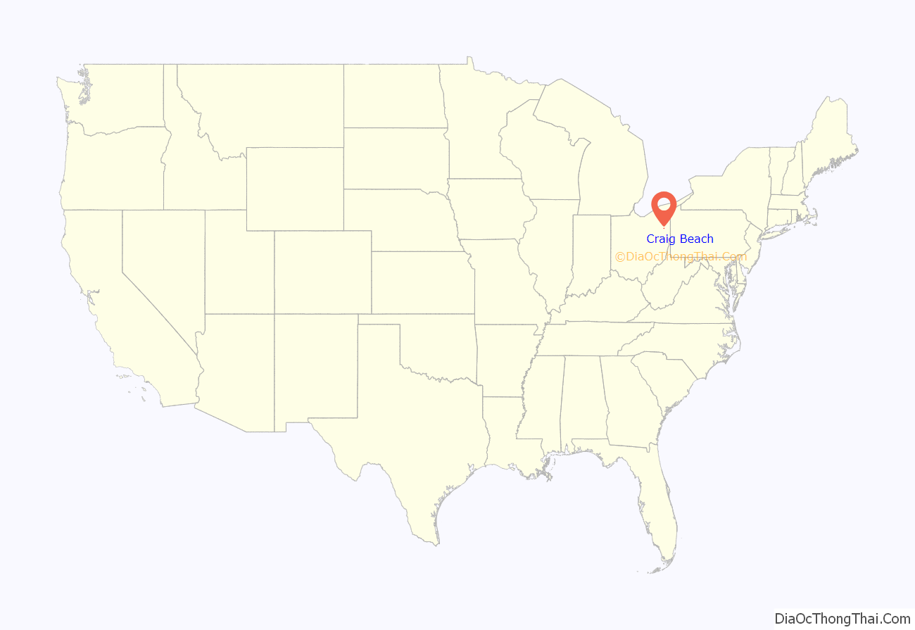
Craig Beach location map. Where is Craig Beach village?
History
In 1910, the city of Youngstown acquired 3,416 acres along the Mahoning River in Milton Township to construct a reservoir to be used as a water supply. The plan was to construct a 2,800-foot dam across the river, impounding 1,640 acres. Entertainer Ward Craig founded Craig’s Landing to initially watch the construction of the dam, which later offered a refreshment stand, swimming area, boat docks, and picnic facilities. In 1922, Craig formed his own amusement company that would create the Craig Beach Amusement Park along the new Lake Milton. Featuring rides, a dance hall, as well as rental cottages, Craig Beach became a popular entertainment hub for the area as big bands of the 1930s toured the area. Future crooner Dean Martin would get his start at the Craig Beach dance hall performing with these orchestras. Craig Beach was incorporated as a village in 1931. The amusement park would close by 1966, although Craig Beach would rebound as a small resort town within Lake Milton State Park.
Craig Beach Road Map
Craig Beach city Satellite Map
Geography
Craig Beach is located at 41°7′3″N 80°59′9″W / 41.11750°N 80.98583°W / 41.11750; -80.98583 (41.117553, -80.985928).
According to the United States Census Bureau, the village has a total area of 1.57 square miles (4.07 km), of which 0.78 square miles (2.02 km) is land and 0.79 square miles (2.05 km) is water.
See also
Map of Ohio State and its subdivision:- Adams
- Allen
- Ashland
- Ashtabula
- Athens
- Auglaize
- Belmont
- Brown
- Butler
- Carroll
- Champaign
- Clark
- Clermont
- Clinton
- Columbiana
- Coshocton
- Crawford
- Cuyahoga
- Darke
- Defiance
- Delaware
- Erie
- Fairfield
- Fayette
- Franklin
- Fulton
- Gallia
- Geauga
- Greene
- Guernsey
- Hamilton
- Hancock
- Hardin
- Harrison
- Henry
- Highland
- Hocking
- Holmes
- Huron
- Jackson
- Jefferson
- Knox
- Lake
- Lake Erie
- Lawrence
- Licking
- Logan
- Lorain
- Lucas
- Madison
- Mahoning
- Marion
- Medina
- Meigs
- Mercer
- Miami
- Monroe
- Montgomery
- Morgan
- Morrow
- Muskingum
- Noble
- Ottawa
- Paulding
- Perry
- Pickaway
- Pike
- Portage
- Preble
- Putnam
- Richland
- Ross
- Sandusky
- Scioto
- Seneca
- Shelby
- Stark
- Summit
- Trumbull
- Tuscarawas
- Union
- Van Wert
- Vinton
- Warren
- Washington
- Wayne
- Williams
- Wood
- Wyandot
- Alabama
- Alaska
- Arizona
- Arkansas
- California
- Colorado
- Connecticut
- Delaware
- District of Columbia
- Florida
- Georgia
- Hawaii
- Idaho
- Illinois
- Indiana
- Iowa
- Kansas
- Kentucky
- Louisiana
- Maine
- Maryland
- Massachusetts
- Michigan
- Minnesota
- Mississippi
- Missouri
- Montana
- Nebraska
- Nevada
- New Hampshire
- New Jersey
- New Mexico
- New York
- North Carolina
- North Dakota
- Ohio
- Oklahoma
- Oregon
- Pennsylvania
- Rhode Island
- South Carolina
- South Dakota
- Tennessee
- Texas
- Utah
- Vermont
- Virginia
- Washington
- West Virginia
- Wisconsin
- Wyoming
