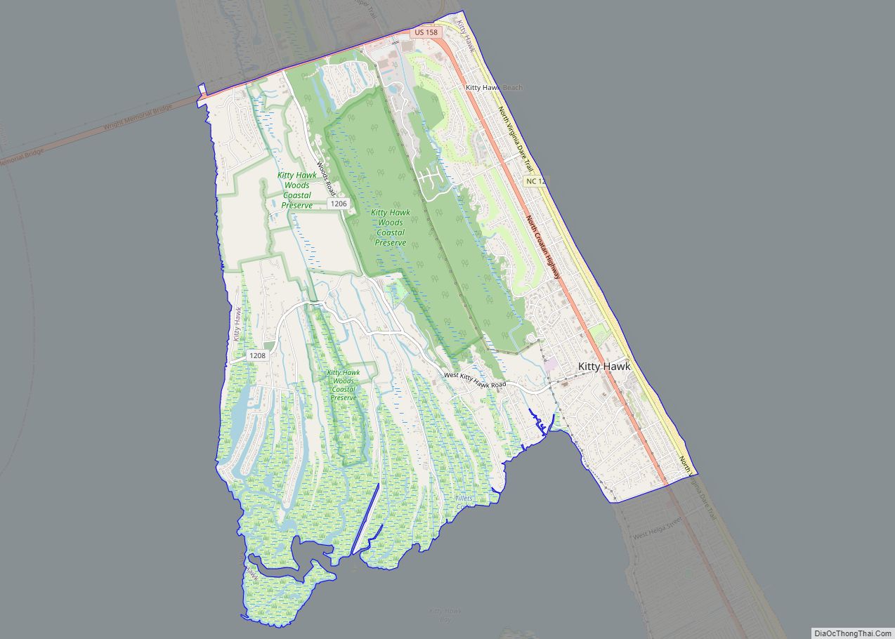
Kitty Hawk is a town in Dare County, North Carolina, on Bodie Island, part of what is known as the state’s Outer Banks. The population was 3,708 at the 2020 census. It was established in the early 18th century as Chickahawk.
| Name: | Kitty Hawk town |
|---|---|
| LSAD Code: | 43 |
| LSAD Description: | town (suffix) |
| State: | North Carolina |
| County: | Dare County |
| Incorporated: | 1981 |
| Elevation: | 7 ft (2 m) |
| Total Area: | 8.29 sq mi (21.46 km²) |
| Land Area: | 8.12 sq mi (21.03 km²) |
| Water Area: | 0.17 sq mi (0.43 km²) |
| Total Population: | 3,689 |
| Population Density: | 454.37/sq mi (175.44/km²) |
| ZIP code: | 27949 |
| Area code: | 252 |
| FIPS code: | 3736060 |
| GNISfeature ID: | 1021059 |
| Website: | www.kittyhawknc.gov |
Online Interactive Map
Click on ![]() to view map in "full screen" mode.
to view map in "full screen" mode.
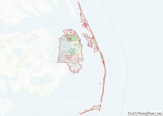
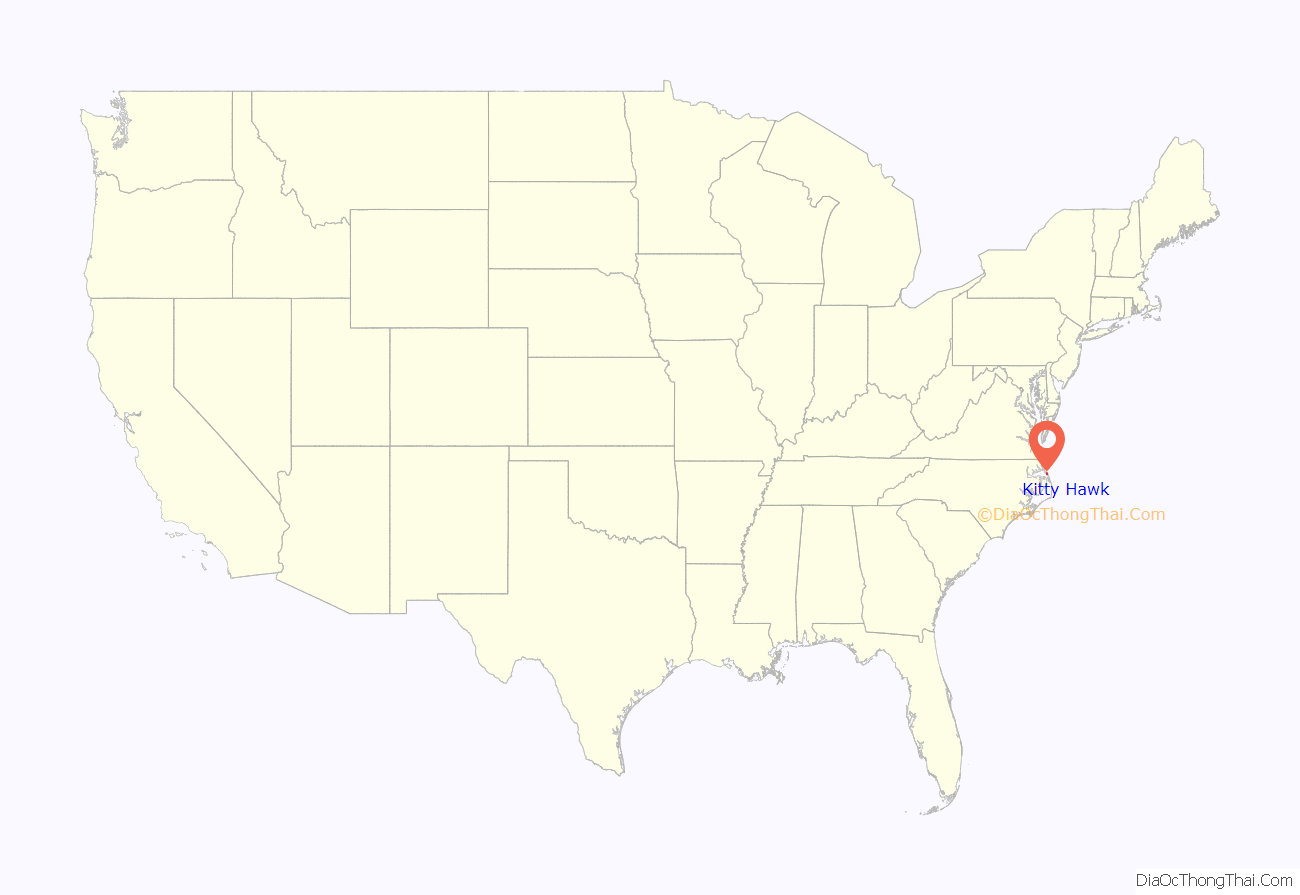
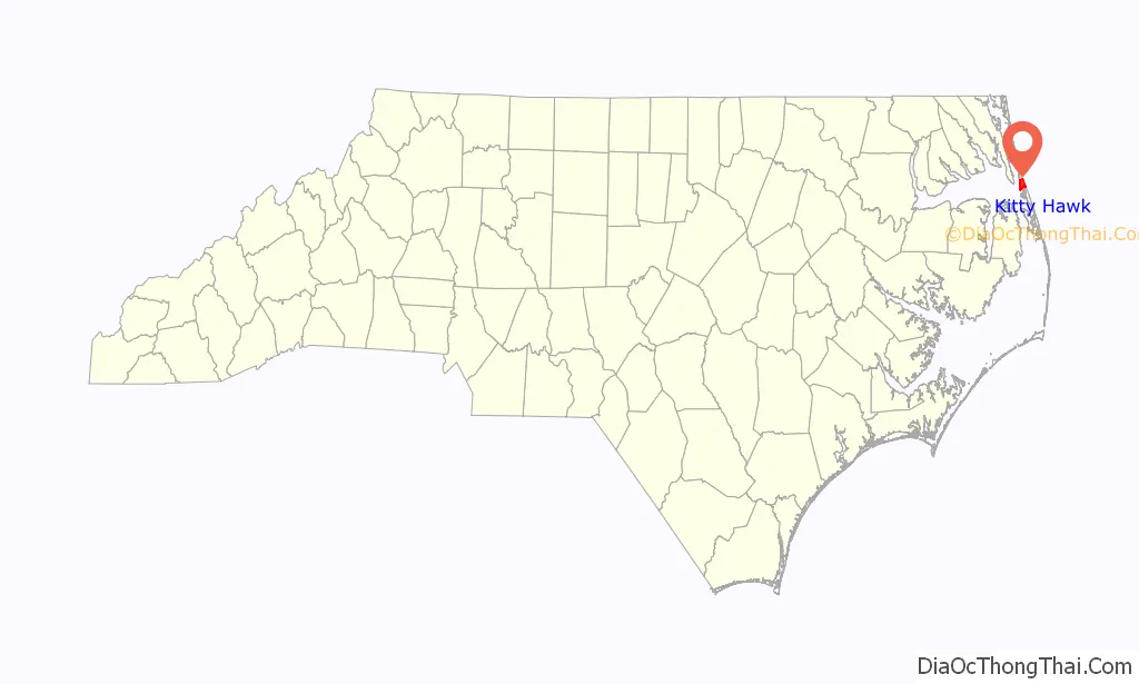
Kitty Hawk location map. Where is Kitty Hawk town?
History
The name Kitty Hawk is derived from the native Algonquin American Indian language word Chickahawk, meaning “a place to hunt geese”.
Kitty Hawk became world-famous after the Wright brothers made the first controlled powered airplane flights at Kill Devil Hills, four miles (6.4 km) south of the town, on December 17, 1903. After the four flights in their Wright Flyer, the brothers walked back to Kitty Hawk. Here, they sent a telegram from the Weather Bureau office to their father informing him of their success. Kitty Hawk is usually credited as the site of the powered flights because it was the nearest named settlement at the time of the flight; the modern town of Kill Devil Hills did not exist until 50 years after the flights. The Wrights chose the area because its frequent winds and soft sandy surfaces were suitable for their glider experiments, which they conducted over three years before they made the powered flights.
The Old Currituck Sound Bridge was completed in 1930, which connected the mainland to the Outer Banks across Albemarle Sound, prompting the paving of a road between the two existing bridges (the other in Manteo) and connecting the Outer Banks to the outside world by road for the first time.
The aircraft carrier USS Kitty Hawk (CV-63), the B-2 Spirit stealth bomber AV-19 with an aircraft number of 93–1086, P-40D Kittyhawk fighter aircraft, the aircraft transport ship USS Kitty Hawk (AKV-1), and the Apollo 14 command module have been named for the town, which incorporated in 1981.
The Kitty Hawk Life-Saving Station was listed on the National Register of Historic Places in 1984.
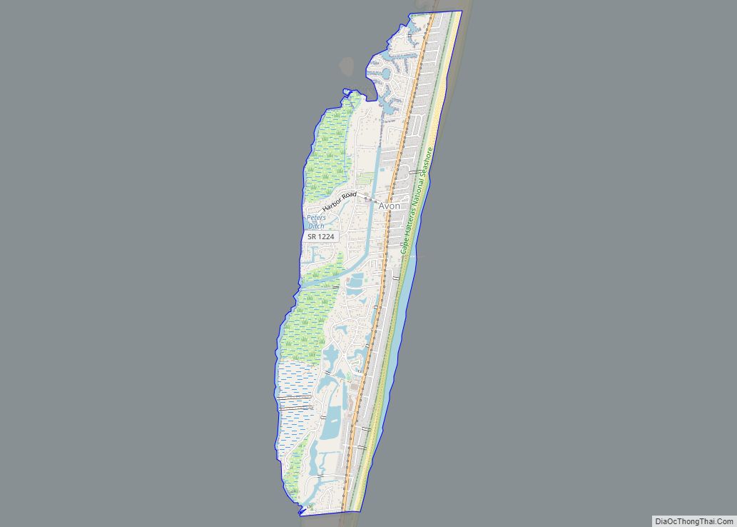
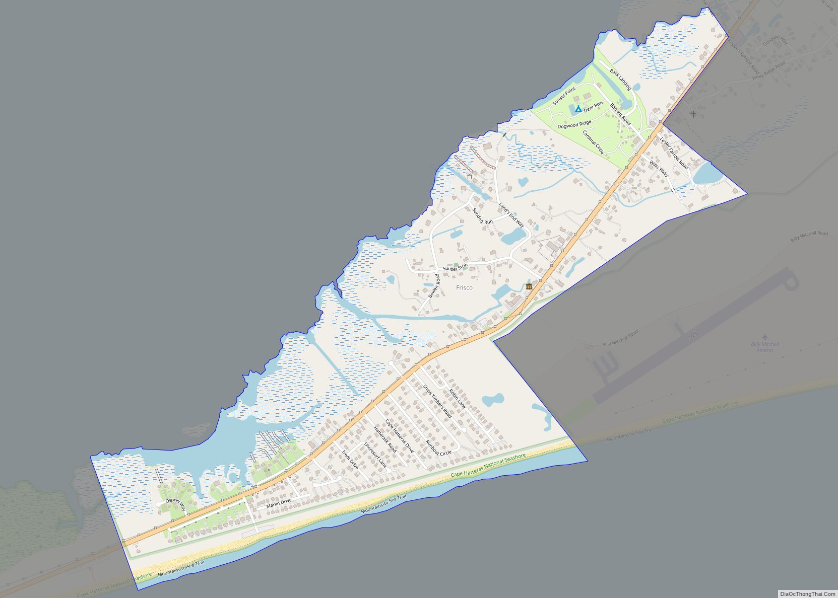
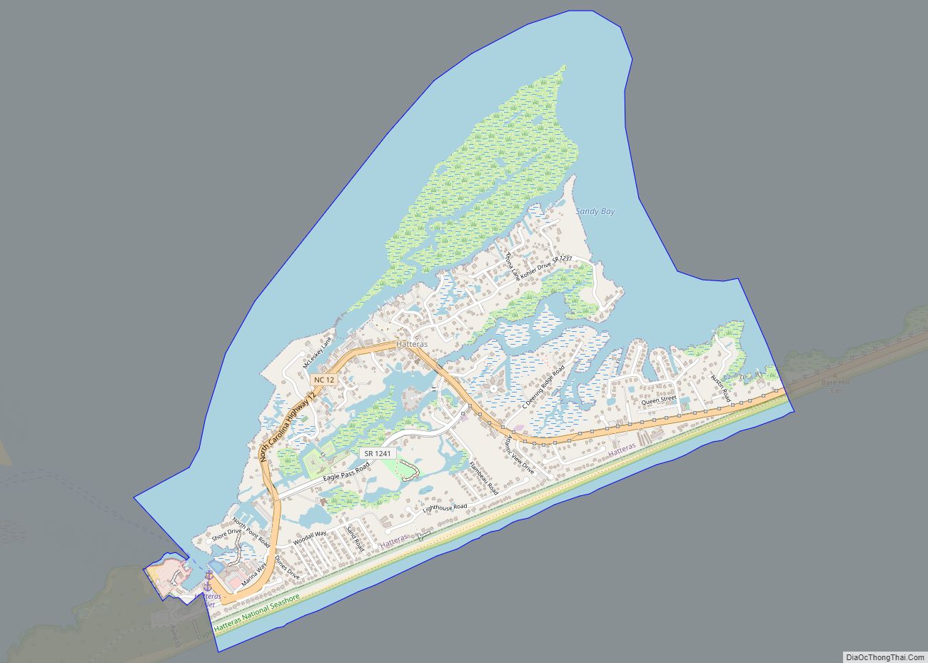
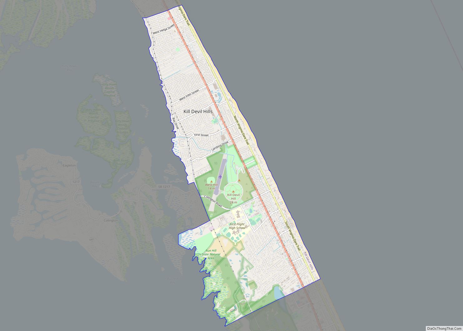
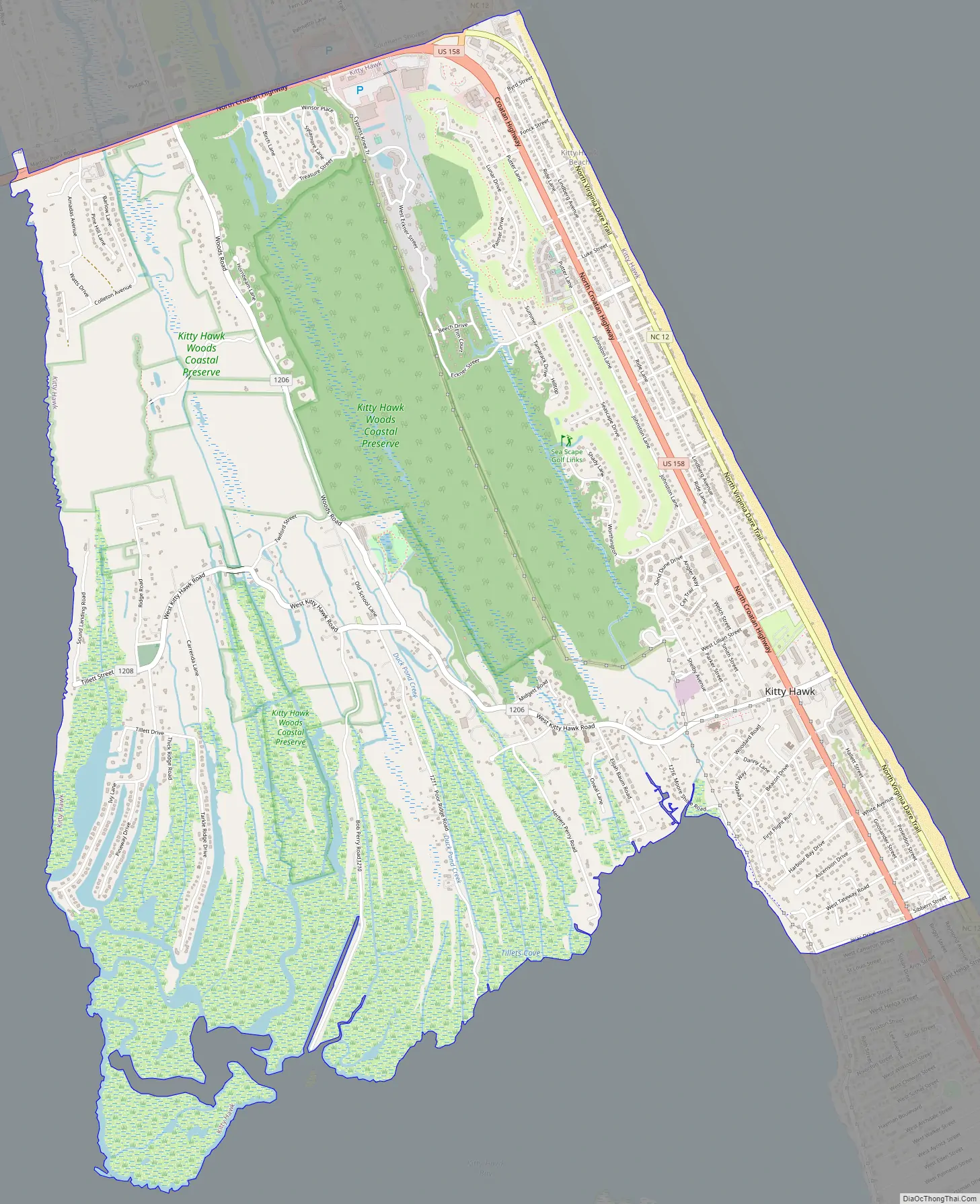
Kitty Hawk Road Map
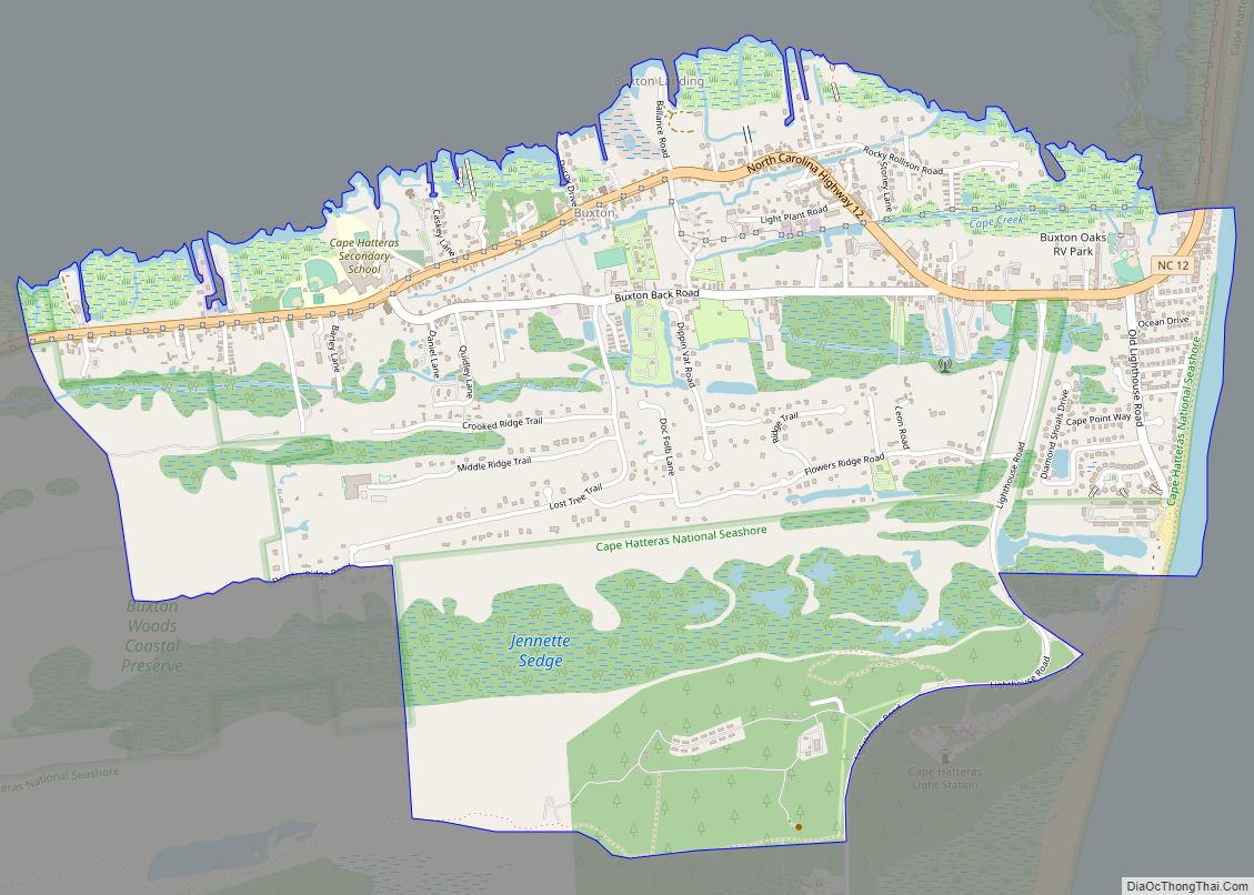
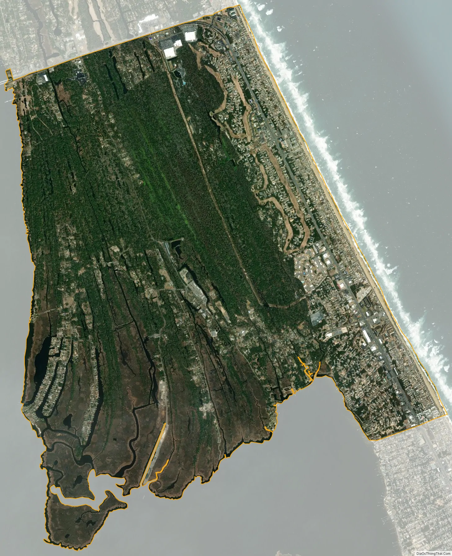
Kitty Hawk city Satellite Map
Geography
Kitty Hawk is located at 36°06′N 75°42′W / 36.1°N 75.7°W / 36.1; -75.7 at an elevation of 7 feet (2 m) above sea level.
According to the United States Census Bureau, the town has a complete area of 8.23 square miles (21.3 km), of which 8.18 square miles (21.2 km) is land and 0.0476 square miles (0.123 km) (0.579%) is water.
Kitty Hawk is served by U.S. Route 158 and Highway 12, which parallel each other in the city. US 158 can be used to go west, while the barrier islands extend north and south.
See also
Map of North Carolina State and its subdivision:- Alamance
- Alexander
- Alleghany
- Anson
- Ashe
- Avery
- Beaufort
- Bertie
- Bladen
- Brunswick
- Buncombe
- Burke
- Cabarrus
- Caldwell
- Camden
- Carteret
- Caswell
- Catawba
- Chatham
- Cherokee
- Chowan
- Clay
- Cleveland
- Columbus
- Craven
- Cumberland
- Currituck
- Dare
- Davidson
- Davie
- Duplin
- Durham
- Edgecombe
- Forsyth
- Franklin
- Gaston
- Gates
- Graham
- Granville
- Greene
- Guilford
- Halifax
- Harnett
- Haywood
- Henderson
- Hertford
- Hoke
- Hyde
- Iredell
- Jackson
- Johnston
- Jones
- Lee
- Lenoir
- Lincoln
- Macon
- Madison
- Martin
- McDowell
- Mecklenburg
- Mitchell
- Montgomery
- Moore
- Nash
- New Hanover
- Northampton
- Onslow
- Orange
- Pamlico
- Pasquotank
- Pender
- Perquimans
- Person
- Pitt
- Polk
- Randolph
- Richmond
- Robeson
- Rockingham
- Rowan
- Rutherford
- Sampson
- Scotland
- Stanly
- Stokes
- Surry
- Swain
- Transylvania
- Tyrrell
- Union
- Vance
- Wake
- Warren
- Washington
- Watauga
- Wayne
- Wilkes
- Wilson
- Yadkin
- Yancey
- Alabama
- Alaska
- Arizona
- Arkansas
- California
- Colorado
- Connecticut
- Delaware
- District of Columbia
- Florida
- Georgia
- Hawaii
- Idaho
- Illinois
- Indiana
- Iowa
- Kansas
- Kentucky
- Louisiana
- Maine
- Maryland
- Massachusetts
- Michigan
- Minnesota
- Mississippi
- Missouri
- Montana
- Nebraska
- Nevada
- New Hampshire
- New Jersey
- New Mexico
- New York
- North Carolina
- North Dakota
- Ohio
- Oklahoma
- Oregon
- Pennsylvania
- Rhode Island
- South Carolina
- South Dakota
- Tennessee
- Texas
- Utah
- Vermont
- Virginia
- Washington
- West Virginia
- Wisconsin
- Wyoming