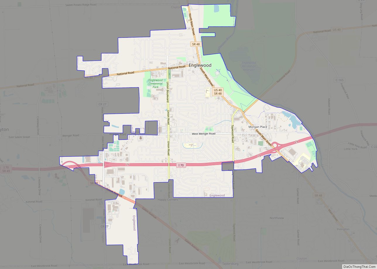
Englewood is a city in Montgomery County, Ohio, and a northern suburb of Dayton. The population was 13,463 at the 2020 census. It is part of the Dayton metropolitan area.
| Name: | Englewood city |
|---|---|
| LSAD Code: | 25 |
| LSAD Description: | city (suffix) |
| State: | Ohio |
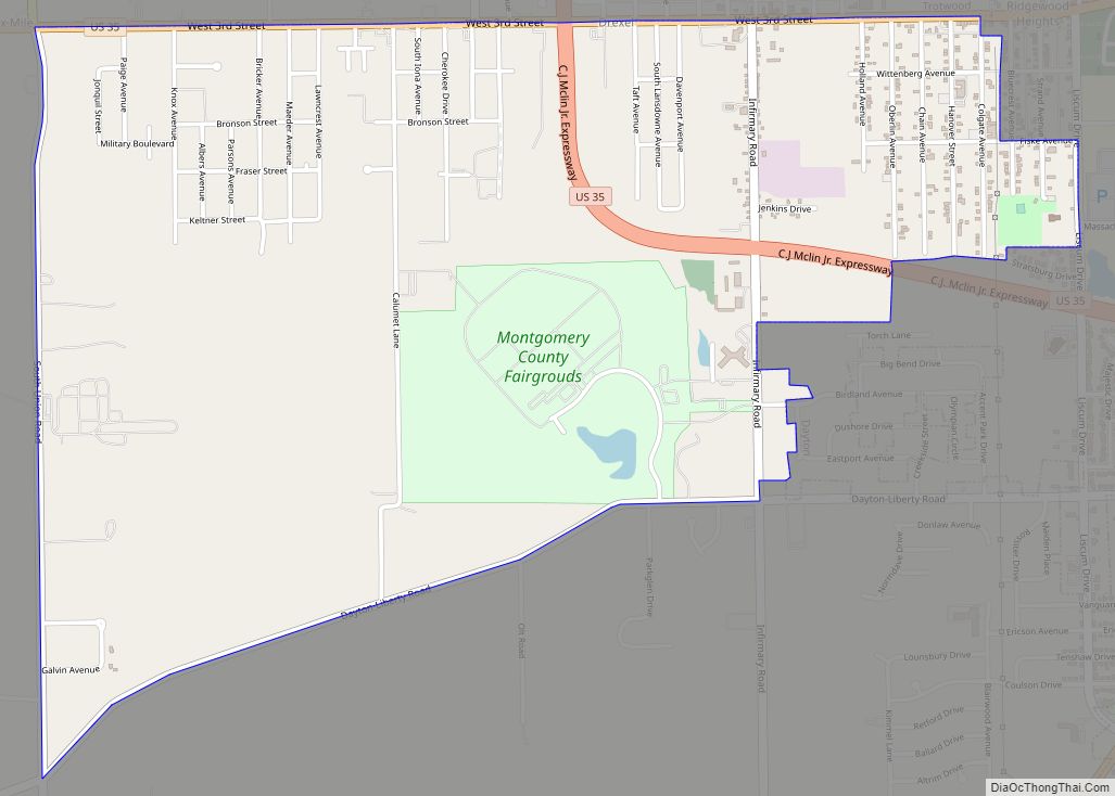
| County: | Montgomery County |
| Founded: | May 6, 1841 (as Harrisburg) |
| Incorporated: | May 15, 1914 |
| Elevation: | 915 ft (279 m) |
| Total Area: | 6.60 sq mi (17.10 km²) |
| Land Area: | 6.56 sq mi (16.99 km²) |
| Water Area: | 0.04 sq mi (0.11 km²) |
| Total Population: | 13,463 |
| Population Density: | 2,052.29/sq mi (792.36/km²) |
| ZIP code: | 45315, 45322 |
| Area code: | 937, 326 |
| FIPS code: | 3925396 |
| GNISfeature ID: | 1064624 |
| Website: | www.englewood.oh.us |
Online Interactive Map
Click on ![]() to view map in "full screen" mode.
to view map in "full screen" mode.
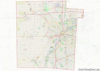
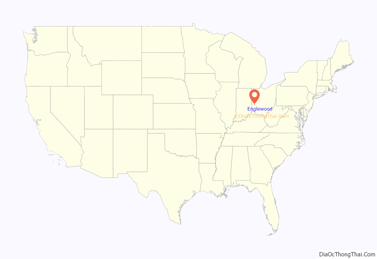
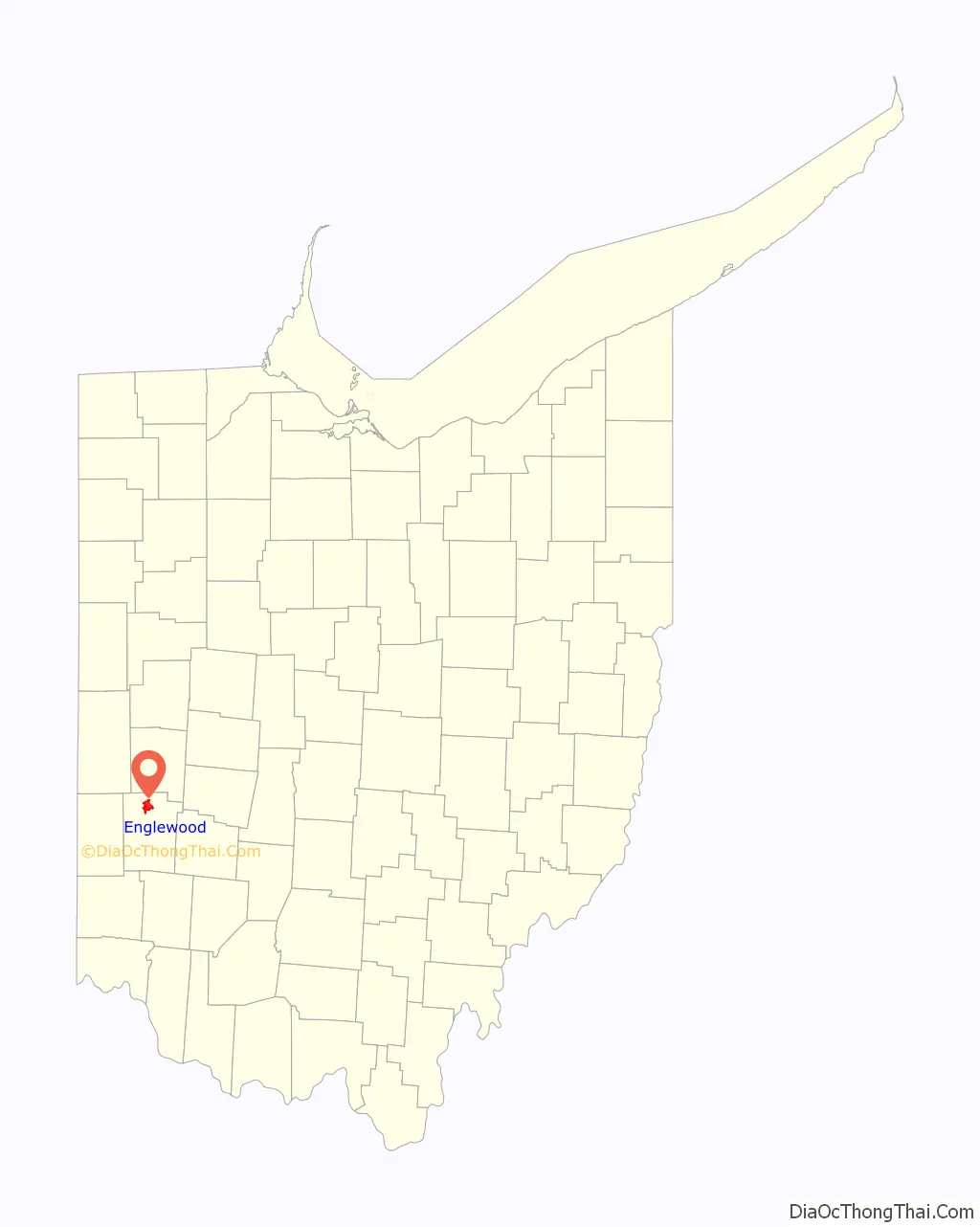
Englewood location map. Where is Englewood city?
History
Although Englewood was not actually founded until 1841, many early settlers began to come to the area known as Randolph Township around 1800. Earliest settlers were the families of David Hoover, David Mast, Daniel Hoover, Robert Ewing, John and Abraham McClintock, John Rench, Martin Sheets, Jacob Smith, Daniel and Peter Fetters. Also among the early settlers were the families of the Ellers, Fouts, Frantzs, Wertzs and the Brumbaughs.
The early settlers made their living basically from agriculture. They shipped grain and bacon down the Stillwater River on flat bottom boats to Dayton and as far south as New Orleans. There was also a considerable amount of industry, including saw mills, gun smithing, wine distilling and pottery manufacturing.
There were many Native Americans in the area in the early days that traded with the settlers. There was also an abundance of wildlife which afforded good hunting for the settlers’ food requirements.
Following primarily the path traced through this area by the Stillwater River, a group of settlers founded what is now the City of Englewood on May 6, 1841. These pioneers included Mathias Gish, Daniel Rasor and Samuel Herr. Some of these settlers came from the area around Harrisburg, Pennsylvania, and thus named the community Harrisburg. Other residents came from Randolph County, North Carolina, and named this township accordingly.
Harrisburg’s first post office was opened on February 8, 1870, and discontinued on February 6, 1871. The post office was re-established on May 8, 1874, and the first postmaster was Harvey Iams. The town was then renamed Iamton. However, at that time the capital letters I and J were the same in the alphabet and the town became known as Jamton.
In 1898, the local businessmen conducted a contest to choose a new name for the town. The name Englewood was chosen as the winner of that contest and the town of Jamton was renamed Englewood. The Village of Englewood was incorporated on May 15, 1914, and Jacob Hoover was the first mayor. The population had risen to 415 by 1930 and over 600 by 1940. Englewood became a city in 1971.
Natural gas was made available to the area in 1934, the first water works was built in 1936 and the original sewer system was completed in 1940.
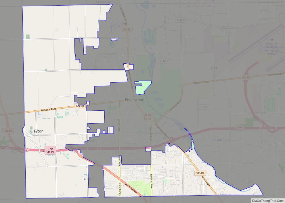
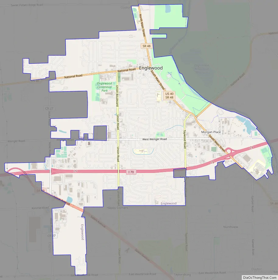
Englewood Road Map
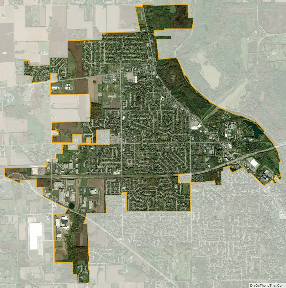
Englewood city Satellite Map
Geography
The coordinates for the city are 39°51′48″N 84°18′15″W / 39.86333°N 84.30417°W / 39.86333; -84.30417. It is situated along the Stillwater River, bordering the cities of Clayton, Union, and Butler Township. Interstate 70 and the National Road (U.S. Route 40) intersect Ohio State Route 48 within Englewood’s boundaries.
According to the United States Census Bureau, the city has a total area of 6.59 square miles (17.07 km), of which 6.55 square miles (16.96 km) is land and 0.04 square miles (0.10 km) is water.
See also
Map of Ohio State and its subdivision:- Adams
- Allen
- Ashland
- Ashtabula
- Athens
- Auglaize
- Belmont
- Brown
- Butler
- Carroll
- Champaign
- Clark
- Clermont
- Clinton
- Columbiana
- Coshocton
- Crawford
- Cuyahoga
- Darke
- Defiance
- Delaware
- Erie
- Fairfield
- Fayette
- Franklin
- Fulton
- Gallia
- Geauga
- Greene
- Guernsey
- Hamilton
- Hancock
- Hardin
- Harrison
- Henry
- Highland
- Hocking
- Holmes
- Huron
- Jackson
- Jefferson
- Knox
- Lake
- Lake Erie
- Lawrence
- Licking
- Logan
- Lorain
- Lucas
- Madison
- Mahoning
- Marion
- Medina
- Meigs
- Mercer
- Miami
- Monroe
- Montgomery
- Morgan
- Morrow
- Muskingum
- Noble
- Ottawa
- Paulding
- Perry
- Pickaway
- Pike
- Portage
- Preble
- Putnam
- Richland
- Ross
- Sandusky
- Scioto
- Seneca
- Shelby
- Stark
- Summit
- Trumbull
- Tuscarawas
- Union
- Van Wert
- Vinton
- Warren
- Washington
- Wayne
- Williams
- Wood
- Wyandot
- Alabama
- Alaska
- Arizona
- Arkansas
- California
- Colorado
- Connecticut
- Delaware
- District of Columbia
- Florida
- Georgia
- Hawaii
- Idaho
- Illinois
- Indiana
- Iowa
- Kansas
- Kentucky
- Louisiana
- Maine
- Maryland
- Massachusetts
- Michigan
- Minnesota
- Mississippi
- Missouri
- Montana
- Nebraska
- Nevada
- New Hampshire
- New Jersey
- New Mexico
- New York
- North Carolina
- North Dakota
- Ohio
- Oklahoma
- Oregon
- Pennsylvania
- Rhode Island
- South Carolina
- South Dakota
- Tennessee
- Texas
- Utah
- Vermont
- Virginia
- Washington
- West Virginia
- Wisconsin
- Wyoming