Fayetteville is a village in Perry Township, Brown County, Ohio, United States. The population was 330 at the 2010 census.
| Name: | Fayetteville village |
|---|---|
| LSAD Code: | 47 |
| LSAD Description: | village (suffix) |
| State: | Ohio |
| County: | Brown County |
| Elevation: | 948 ft (289 m) |
| Total Area: | 0.47 sq mi (1.22 km²) |
| Land Area: | 0.47 sq mi (1.22 km²) |
| Water Area: | 0.00 sq mi (0.00 km²) |
| Total Population: | 317 |
| Population Density: | 671.61/sq mi (259.06/km²) |
| ZIP code: | 45118 |
| Area code: | 513 |
| FIPS code: | 3926796 |
| GNISfeature ID: | 1040400 |
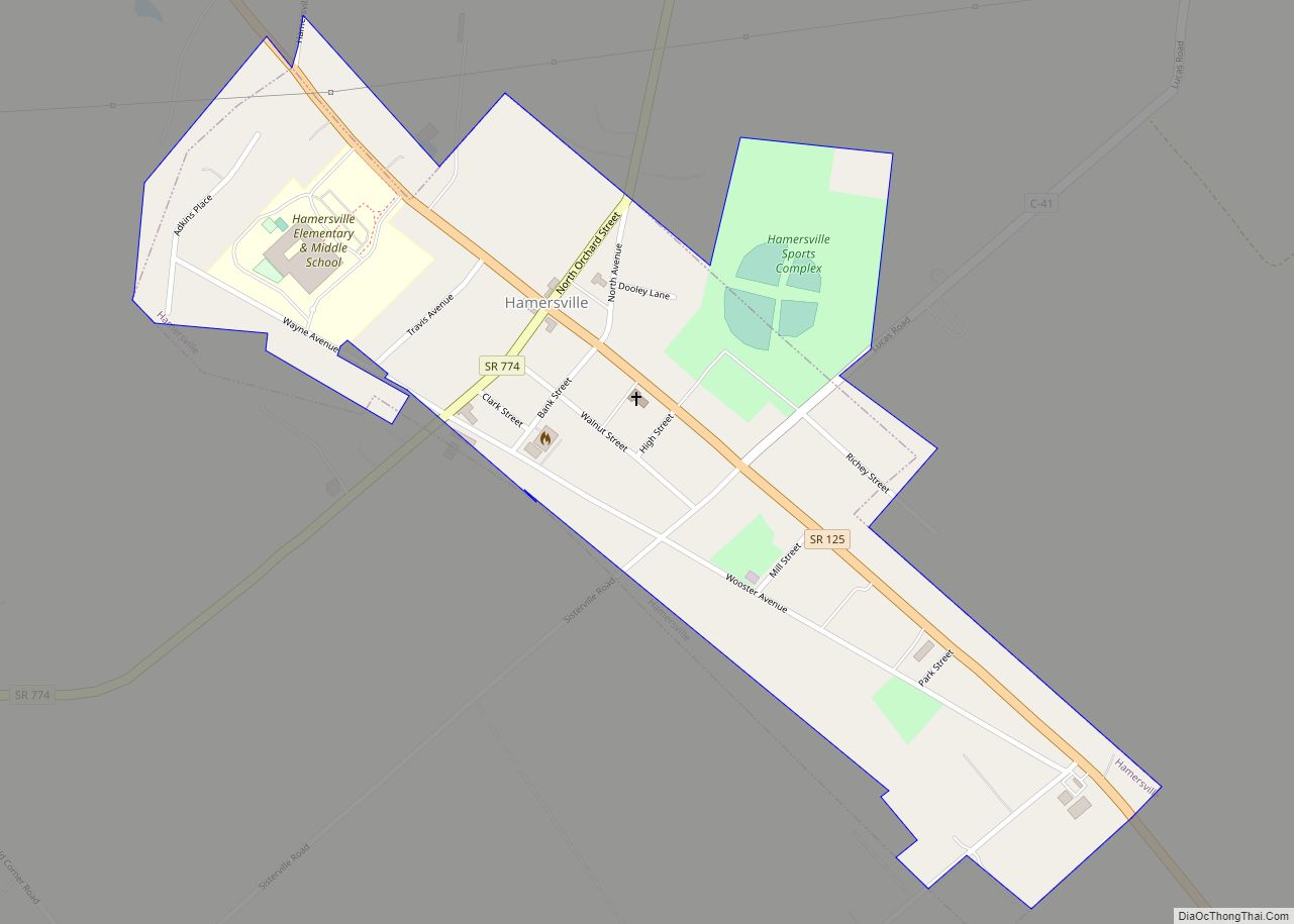
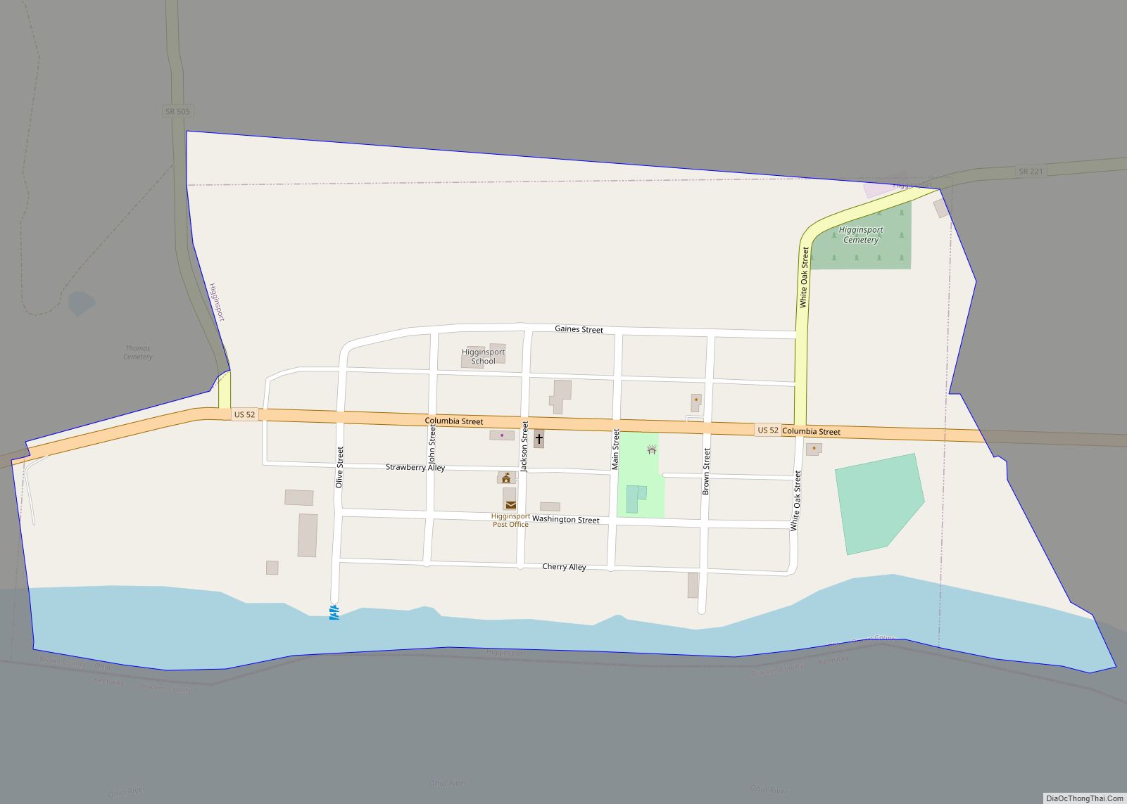
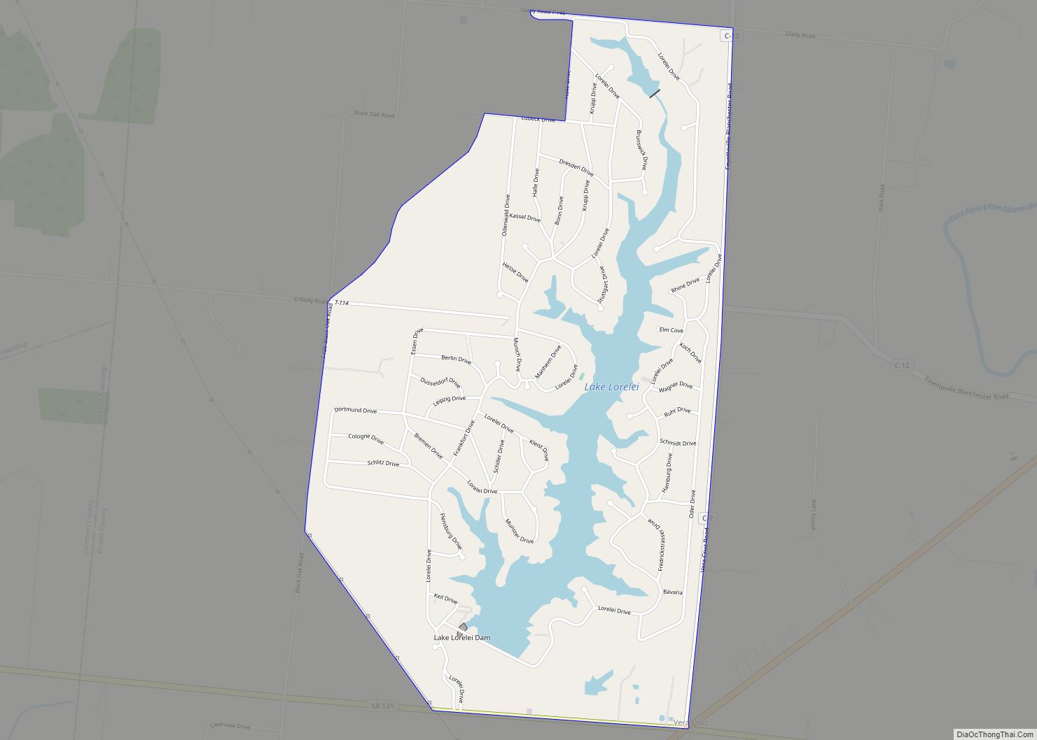
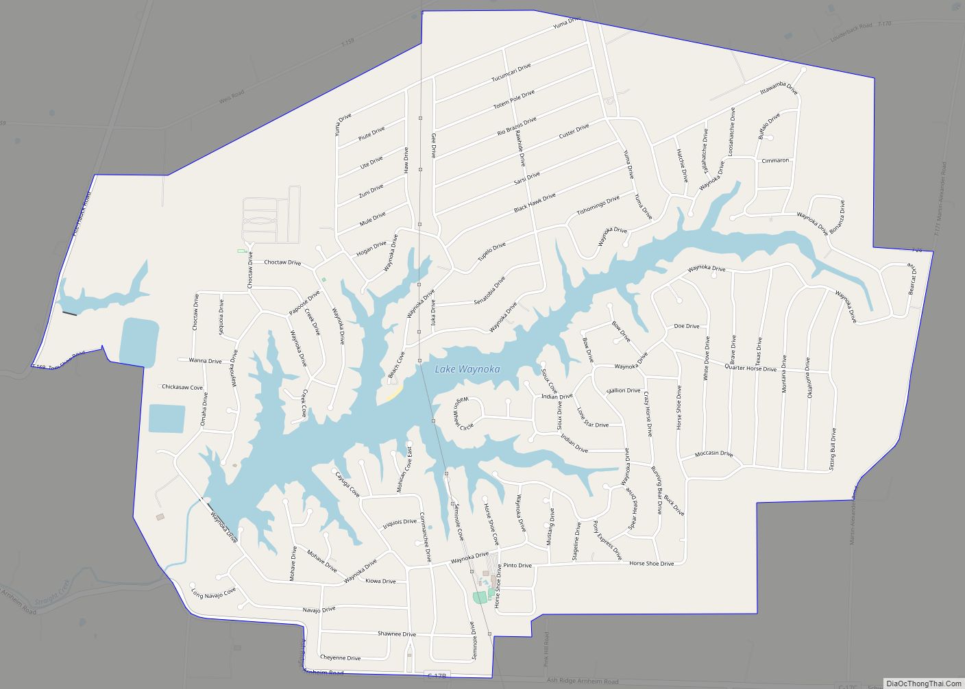
Online Interactive Map
Click on ![]() to view map in "full screen" mode.
to view map in "full screen" mode.
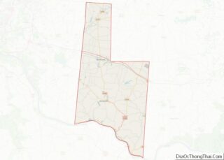
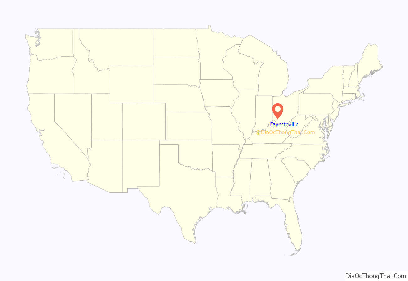
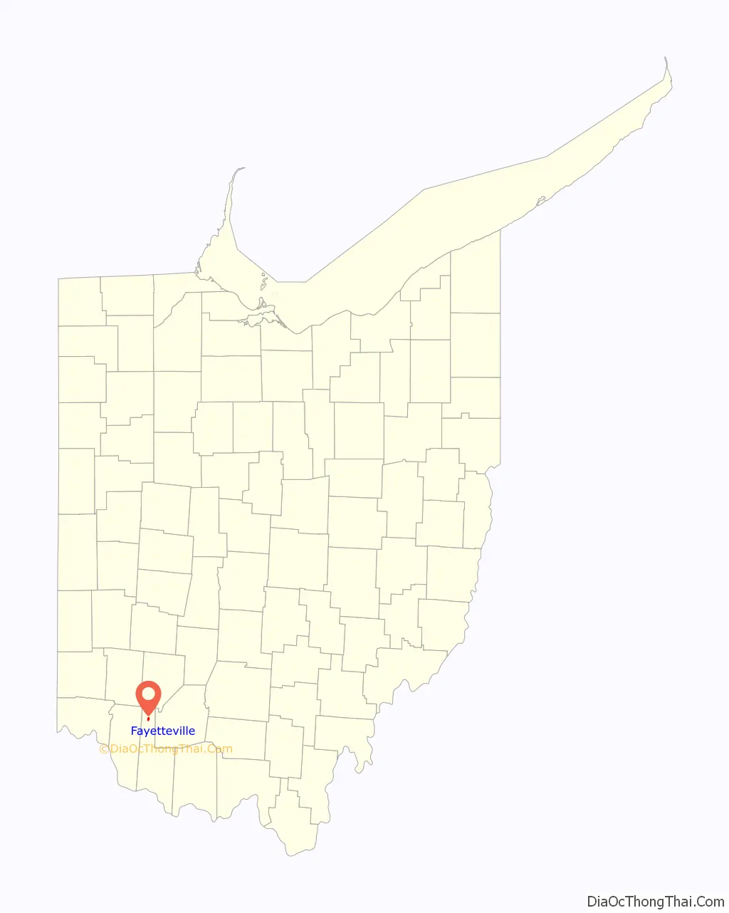
Fayetteville location map. Where is Fayetteville village?
History
Fayetteville was founded in 1818 by an Irish immigrant named Cornelius McGroarty. It was later incorporated in 1868. In 1883, Fayetteville contained two churches, two schools, two hotels, several stores and saloons, and two drug stores.
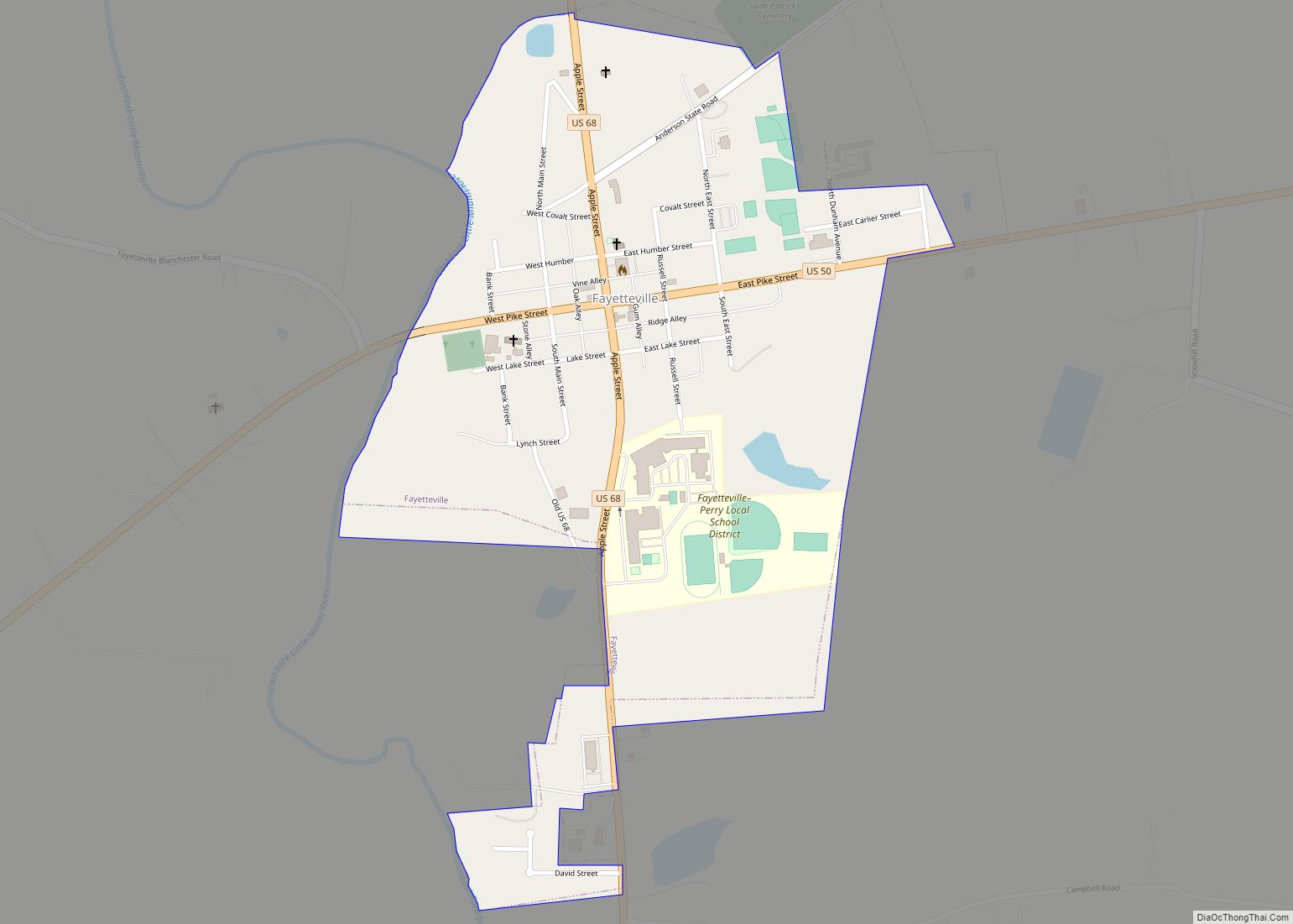
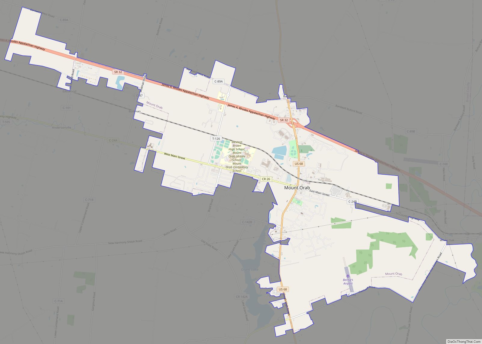
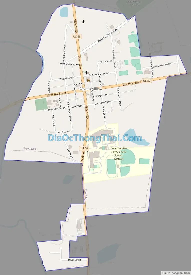
Fayetteville Road Map
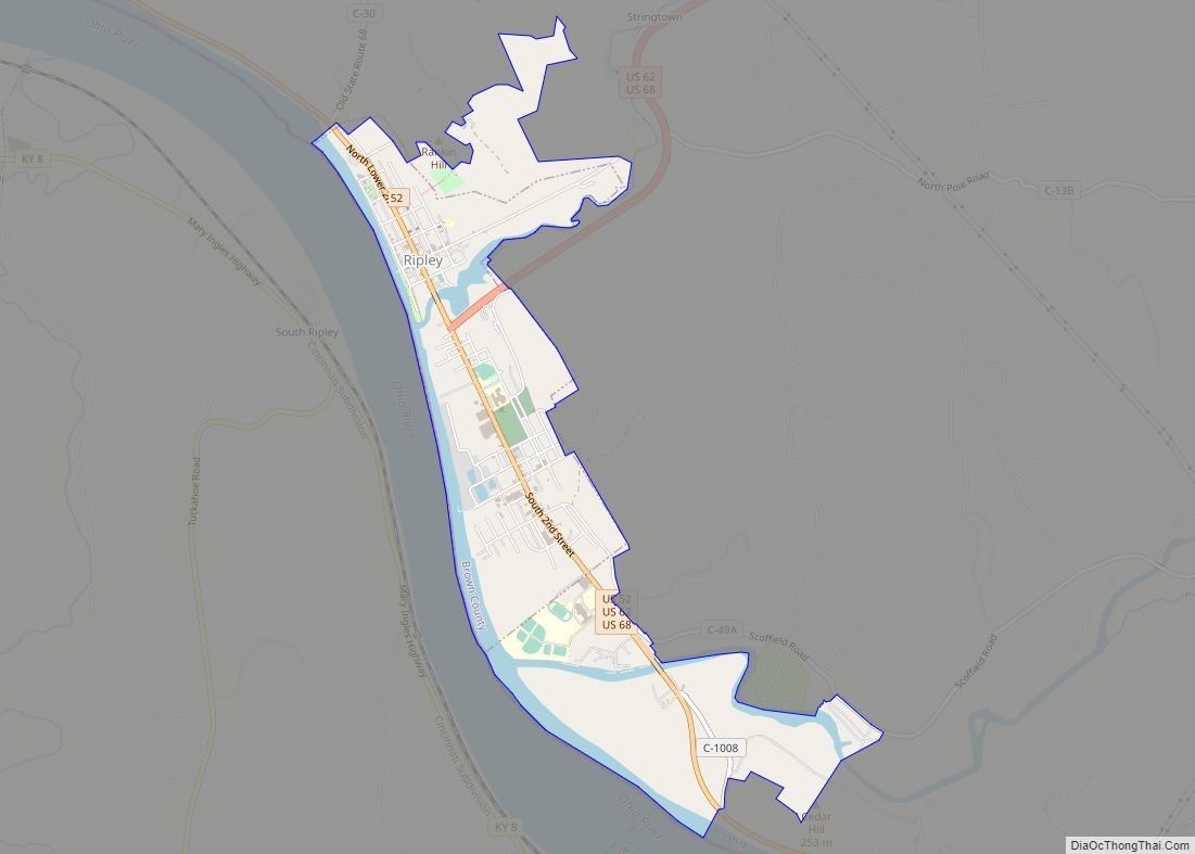
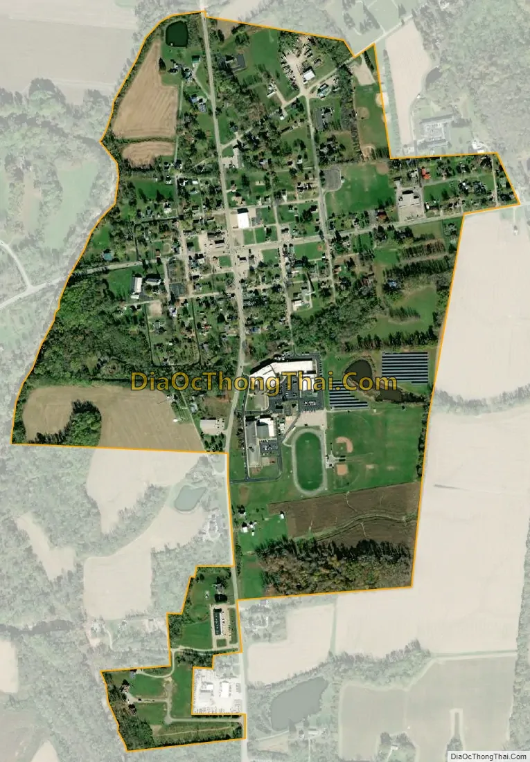
Fayetteville city Satellite Map
Geography
Fayetteville is located at 39°11′13″N 83°55′55″W / 39.18694°N 83.93194°W / 39.18694; -83.93194 (39.186870, -83.932083).
According to the United States Census Bureau, the village has a total area of 0.52 square miles (1.35 km), all land. It also rests on a bend of the East Fork Little Miami River.
See also
Map of Ohio State and its subdivision:- Adams
- Allen
- Ashland
- Ashtabula
- Athens
- Auglaize
- Belmont
- Brown
- Butler
- Carroll
- Champaign
- Clark
- Clermont
- Clinton
- Columbiana
- Coshocton
- Crawford
- Cuyahoga
- Darke
- Defiance
- Delaware
- Erie
- Fairfield
- Fayette
- Franklin
- Fulton
- Gallia
- Geauga
- Greene
- Guernsey
- Hamilton
- Hancock
- Hardin
- Harrison
- Henry
- Highland
- Hocking
- Holmes
- Huron
- Jackson
- Jefferson
- Knox
- Lake
- Lake Erie
- Lawrence
- Licking
- Logan
- Lorain
- Lucas
- Madison
- Mahoning
- Marion
- Medina
- Meigs
- Mercer
- Miami
- Monroe
- Montgomery
- Morgan
- Morrow
- Muskingum
- Noble
- Ottawa
- Paulding
- Perry
- Pickaway
- Pike
- Portage
- Preble
- Putnam
- Richland
- Ross
- Sandusky
- Scioto
- Seneca
- Shelby
- Stark
- Summit
- Trumbull
- Tuscarawas
- Union
- Van Wert
- Vinton
- Warren
- Washington
- Wayne
- Williams
- Wood
- Wyandot
- Alabama
- Alaska
- Arizona
- Arkansas
- California
- Colorado
- Connecticut
- Delaware
- District of Columbia
- Florida
- Georgia
- Hawaii
- Idaho
- Illinois
- Indiana
- Iowa
- Kansas
- Kentucky
- Louisiana
- Maine
- Maryland
- Massachusetts
- Michigan
- Minnesota
- Mississippi
- Missouri
- Montana
- Nebraska
- Nevada
- New Hampshire
- New Jersey
- New Mexico
- New York
- North Carolina
- North Dakota
- Ohio
- Oklahoma
- Oregon
- Pennsylvania
- Rhode Island
- South Carolina
- South Dakota
- Tennessee
- Texas
- Utah
- Vermont
- Virginia
- Washington
- West Virginia
- Wisconsin
- Wyoming