Gahanna (/ɡəˈhænə/ gə-HAN-ə) is a city situated in northeast Franklin County, Ohio, United States. It is a suburb of Columbus. The population was 35,726 at the 2020 census. It was founded in 1849.
| Name: | Gahanna city |
|---|---|
| LSAD Code: | 25 |
| LSAD Description: | city (suffix) |
| State: | Ohio |
| County: | Franklin County |
| Elevation: | 794 ft (242 m) |
| Total Area: | 12.60 sq mi (32.65 km²) |
| Land Area: | 12.43 sq mi (32.20 km²) |
| Water Area: | 0.17 sq mi (0.45 km²) |
| Total Population: | 35,726 |
| Population Density: | 2,873.71/sq mi (1,109.50/km²) |
| ZIP code: | 43230 |
| Area code: | 614 and 380 |
| FIPS code: | 3929106 |
| GNISfeature ID: | 1064696 |
| Website: | www.gahanna.gov |
Online Interactive Map
Click on ![]() to view map in "full screen" mode.
to view map in "full screen" mode.
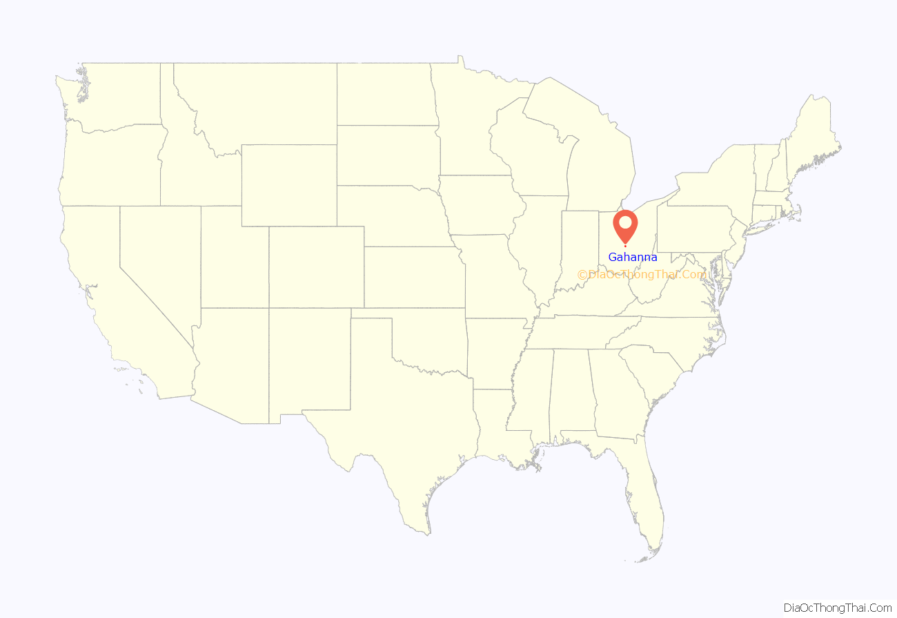
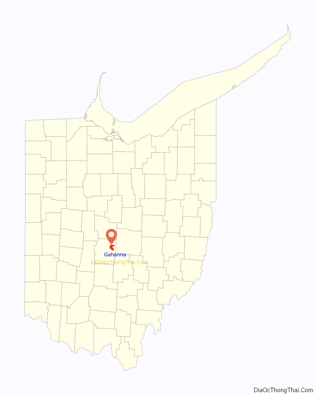
Gahanna location map. Where is Gahanna city?
History
Gahanna was founded along the Big Walnut Creek in 1849 by John Clark of Ross County from 800 acres (320 ha) of land that his father, Joseph Clark, had purchased from Governor Worthington in 1814. Clark named his property the Gahanna Plantation, from which the City of Gahanna derives its name. The name Gahanna is derived from a Native American word for three creeks joining into one and is the former name of the Big Walnut Creek. The City of Gahanna’s Official Seal refers to this confluence of three creeks with the inscription “Three In One”.
Gahanna maintained a considerable rivalry with the adjacent village of Bridgeport. Located directly across Granville Street from Gahanna and also along the banks of the Big Walnut Creek, Bridgeport was founded in 1853 by Jesse Baughman, a former Franklin County Commissioner. The two villages eventually put aside their differences and merged into one. They adopted the name Gahanna as there was already another village in Ohio called Bridgeport. In March 1881, 55 citizens of Gahanna petitioned Franklin County to incorporate the village. The incorporation was granted in June and was recorded on August 8, 1881. The now-incorporated village then held its first mayoral election and on October 6, 1881, swore in its first mayor, L. John Neiswander.
On January 7, 1994, United Express Flight 6291 crashed in Gahanna, killing five of the eight people on board.
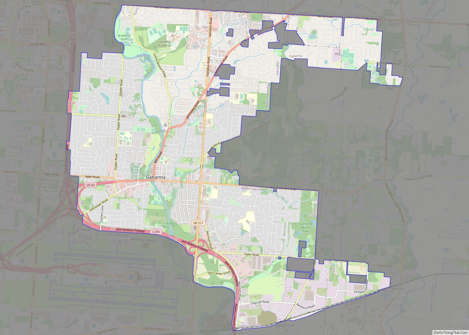
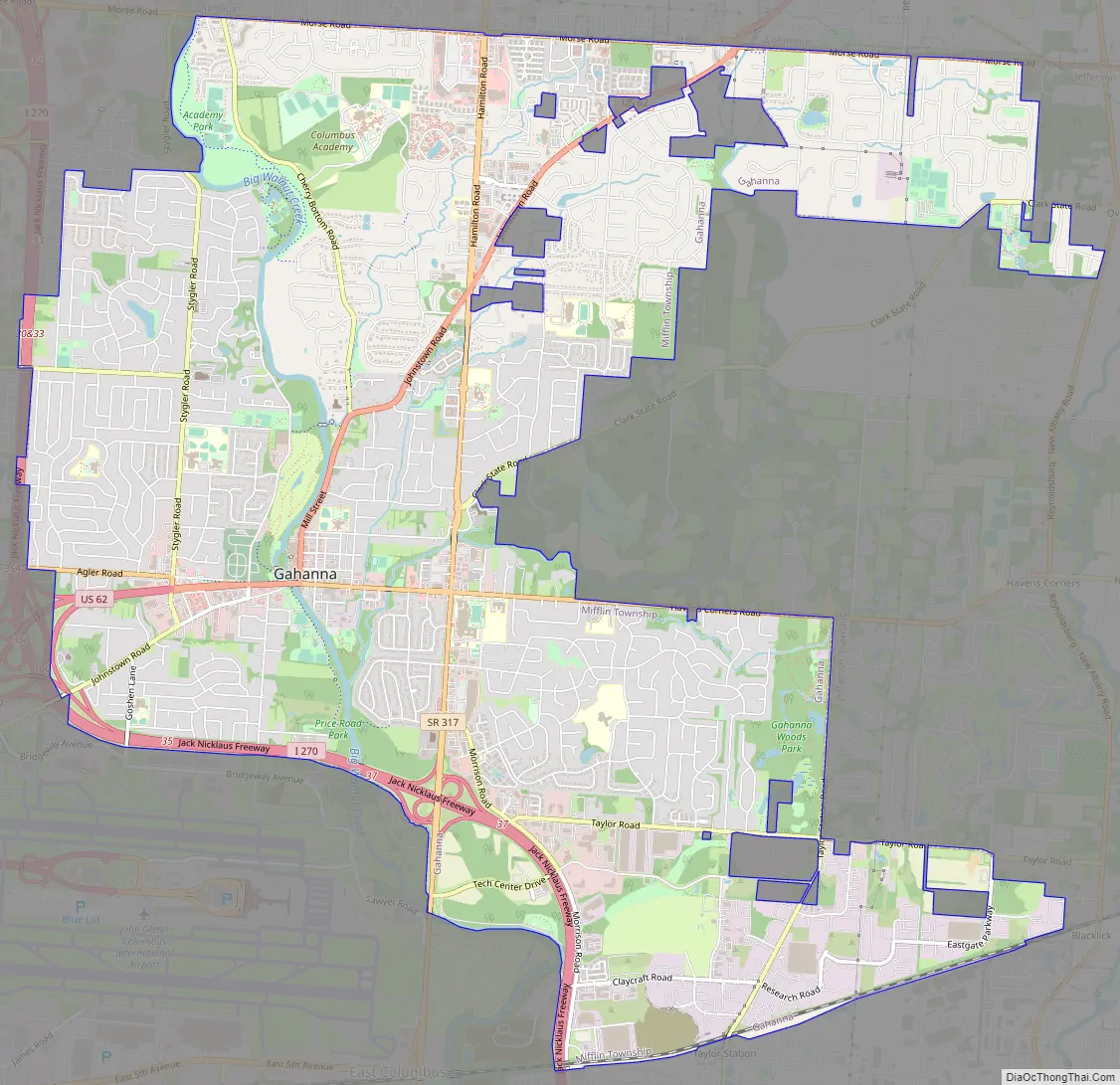
Gahanna Road Map
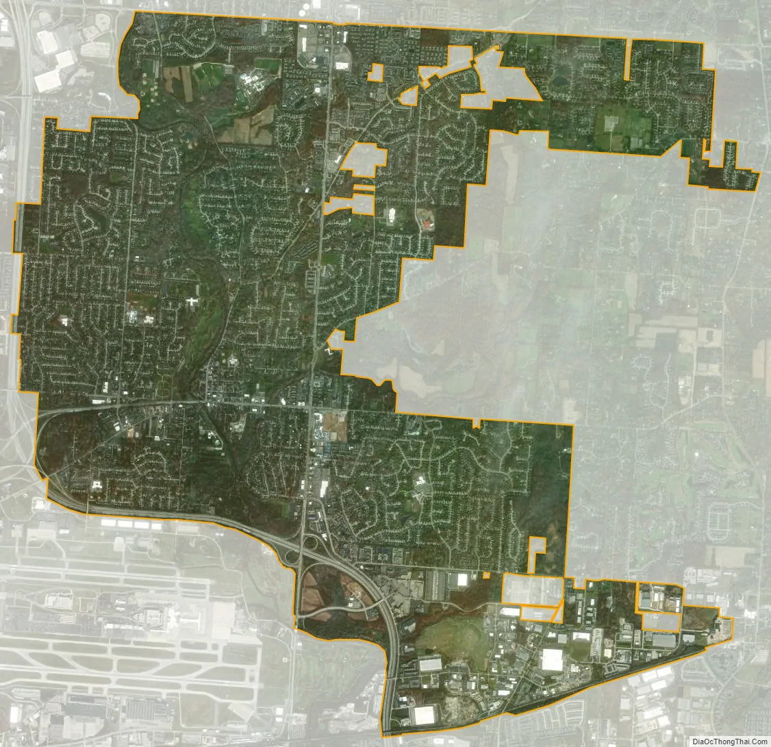
Gahanna city Satellite Map
Geography
Gahanna is located at 40°1′36″N 82°52′9″W / 40.02667°N 82.86917°W / 40.02667; -82.86917 (40.026713, −82.869131). Cities and Townships that border Gahanna:
- Mifflin Township: west
- Columbus, Ohio: north, west, and south
- New Albany, Ohio: north
- Jefferson Township: east
In addition, several small “islands” of Jefferson Township are located entirely within the boundaries of the city.
According to the United States Census Bureau, the city has a total area of 12.60 square miles (32.63 km), of which 12.43 square miles (32.19 km) is land and 0.17 square miles (0.44 km) is water.
Big Walnut Creek has a significant impact on the geography of Gahanna associated with its tributaries Rocky Fork Creek and Sycamore Run.
See also
Map of Ohio State and its subdivision:- Adams
- Allen
- Ashland
- Ashtabula
- Athens
- Auglaize
- Belmont
- Brown
- Butler
- Carroll
- Champaign
- Clark
- Clermont
- Clinton
- Columbiana
- Coshocton
- Crawford
- Cuyahoga
- Darke
- Defiance
- Delaware
- Erie
- Fairfield
- Fayette
- Franklin
- Fulton
- Gallia
- Geauga
- Greene
- Guernsey
- Hamilton
- Hancock
- Hardin
- Harrison
- Henry
- Highland
- Hocking
- Holmes
- Huron
- Jackson
- Jefferson
- Knox
- Lake
- Lake Erie
- Lawrence
- Licking
- Logan
- Lorain
- Lucas
- Madison
- Mahoning
- Marion
- Medina
- Meigs
- Mercer
- Miami
- Monroe
- Montgomery
- Morgan
- Morrow
- Muskingum
- Noble
- Ottawa
- Paulding
- Perry
- Pickaway
- Pike
- Portage
- Preble
- Putnam
- Richland
- Ross
- Sandusky
- Scioto
- Seneca
- Shelby
- Stark
- Summit
- Trumbull
- Tuscarawas
- Union
- Van Wert
- Vinton
- Warren
- Washington
- Wayne
- Williams
- Wood
- Wyandot
- Alabama
- Alaska
- Arizona
- Arkansas
- California
- Colorado
- Connecticut
- Delaware
- District of Columbia
- Florida
- Georgia
- Hawaii
- Idaho
- Illinois
- Indiana
- Iowa
- Kansas
- Kentucky
- Louisiana
- Maine
- Maryland
- Massachusetts
- Michigan
- Minnesota
- Mississippi
- Missouri
- Montana
- Nebraska
- Nevada
- New Hampshire
- New Jersey
- New Mexico
- New York
- North Carolina
- North Dakota
- Ohio
- Oklahoma
- Oregon
- Pennsylvania
- Rhode Island
- South Carolina
- South Dakota
- Tennessee
- Texas
- Utah
- Vermont
- Virginia
- Washington
- West Virginia
- Wisconsin
- Wyoming