Galion is a city in Crawford, Morrow, and Richland counties in the U.S. state of Ohio. The population was 10,453 at the 2020 census. Galion is the second-largest city in Crawford County after Bucyrus.
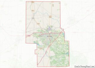
The Crawford County portion of Galion is part of the Bucyrus Micropolitan Statistical Area. The small portion of the city that is located in Richland County is part of the Mansfield Metropolitan Statistical Area, while the portion extending into Morrow County is considered part of the Columbus Metropolitan Statistical Area.
| Name: | Galion city |
|---|---|
| LSAD Code: | 25 |
| LSAD Description: | city (suffix) |
| State: | Ohio |
| County: | Crawford County, Morrow County, Richland County |
| Elevation: | 1,171 ft (357 m) |
| Total Area: | 7.41 sq mi (19.20 km²) |
| Land Area: | 7.39 sq mi (19.15 km²) |
| Water Area: | 0.02 sq mi (0.05 km²) |
| Total Population: | 10,453 |
| Population Density: | 1,413.91/sq mi (545.88/km²) |
| ZIP code: | 44833 |
| Area code: | 419 |
| FIPS code: | 3929162 |
| GNISfeature ID: | 1064699 |
| Website: | http://www.galion.city |
Online Interactive Map
Click on ![]() to view map in "full screen" mode.
to view map in "full screen" mode.
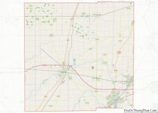
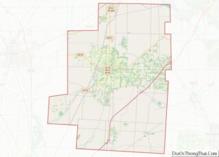
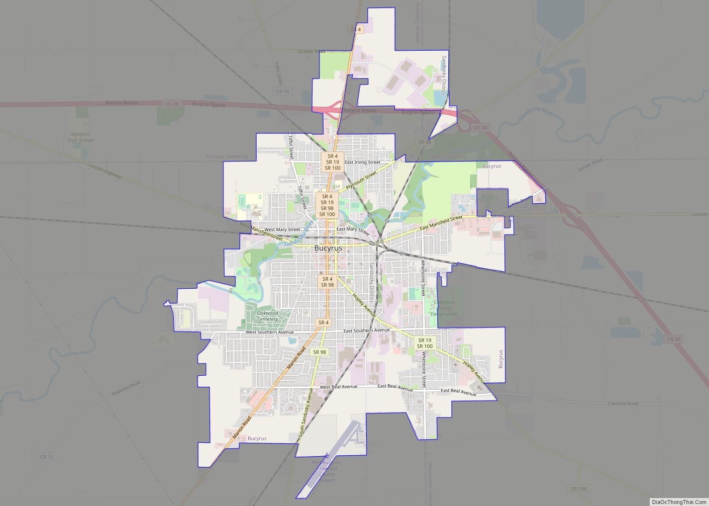
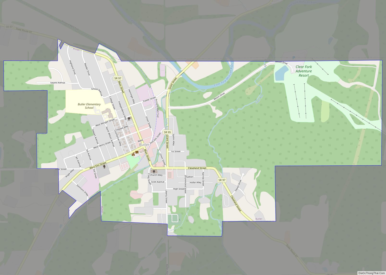
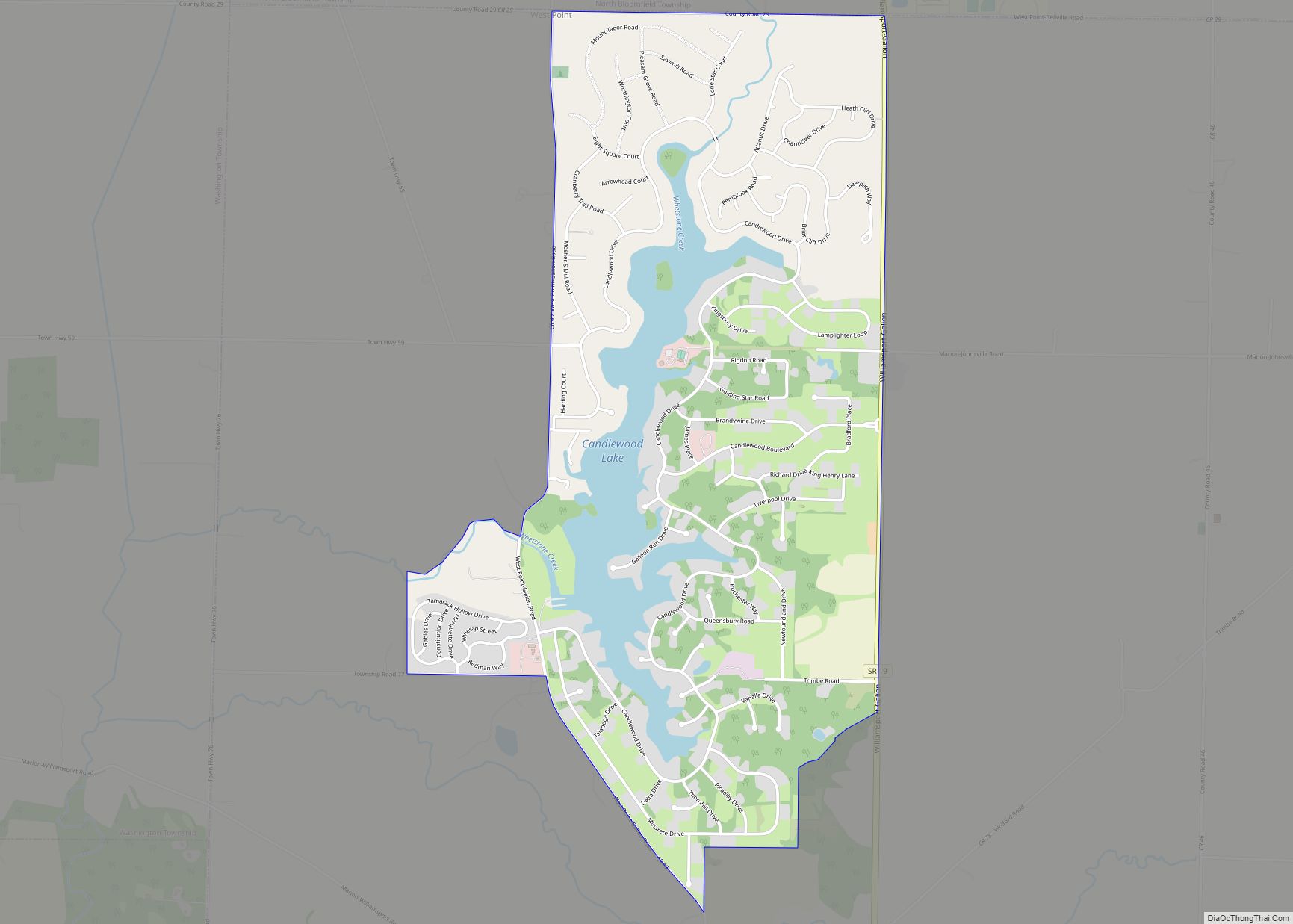
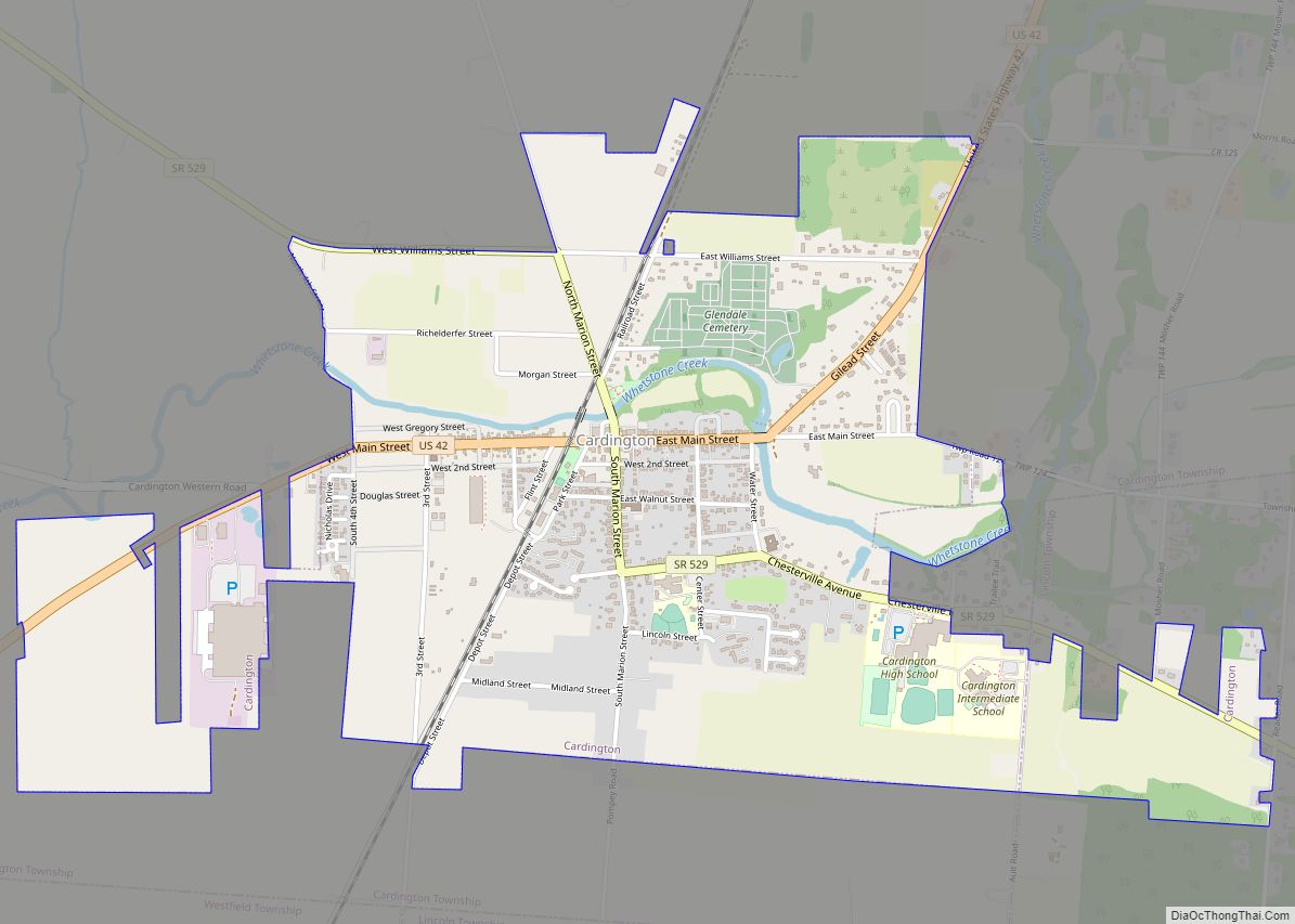
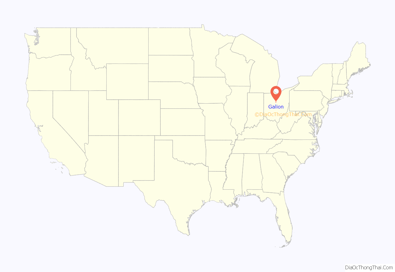
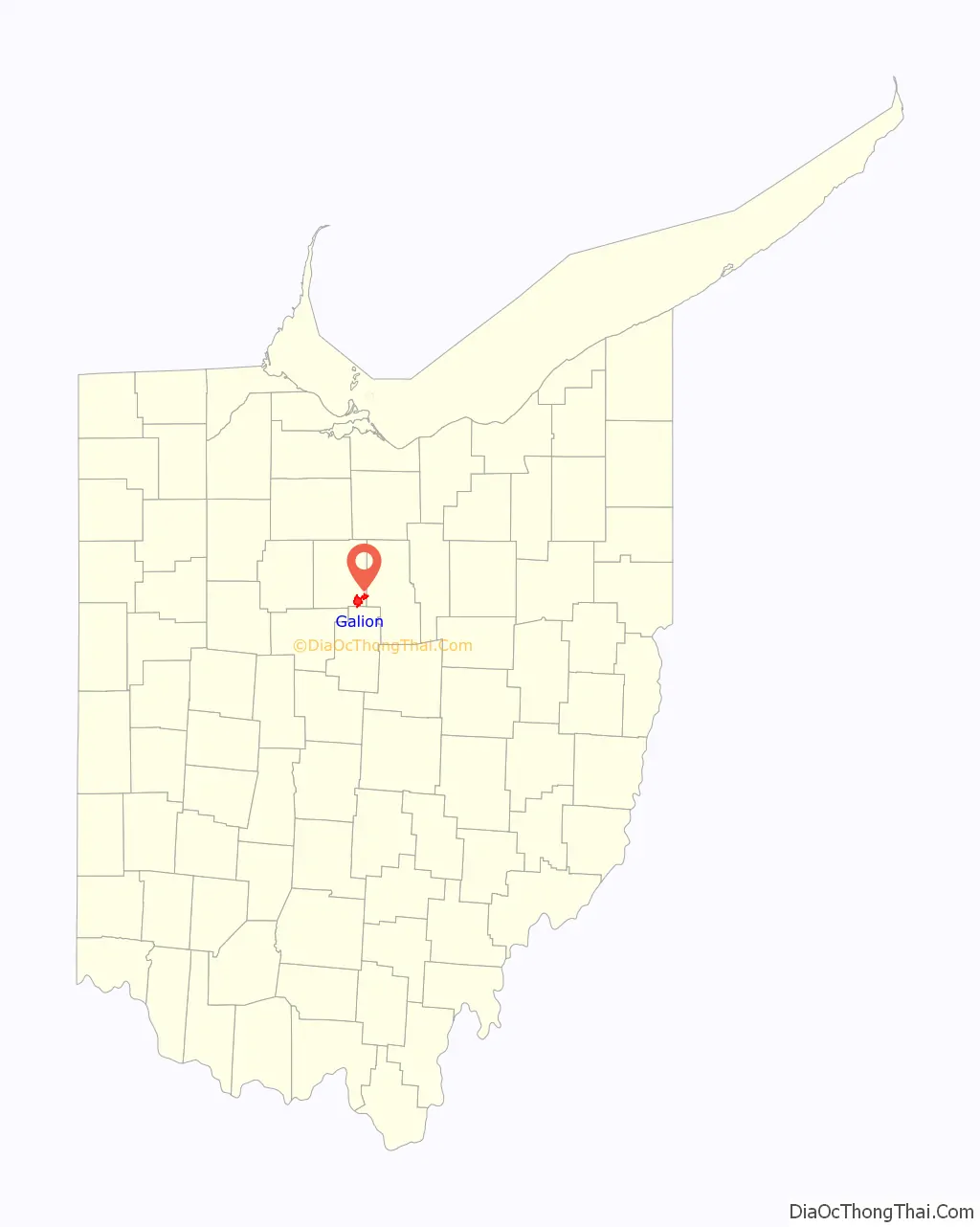
Galion location map. Where is Galion city?
History
The region was first inhabited by Native American tribes up until the first settlers, Benjamin Leveridge and his two sons, arrived in 1817. In 1820, William Hosford and his two sons, Asa and Horace, settled on land outside of the area. It was not until Colonel James Kilbourne decided to “lay out a town half way between Columbus and the Lakes” that the crossroads of Portland and Main street were settled by the Hosford family. This crossing was known by various names including: Moccasin, Horseshoe, Hard Scrabble, Spang Town, Hosfords and Goshen. Galion was laid out in 1831. However, in 1824 the town petitioned for a post office using the name Goshen and later changed to Galion by the postmaster general, John McLean, due to a town already being named Goshen in Ohio. The etymology of the name Galion is uncertain. A post office called Galion has been in operation since 1825.
Asa Hosford is considered the “Father of Galion” due to his work as a state legislator in which he did work to get a rail line through the area that was completed in 1851.
On Sunday, April 30, 1882, a mob of around 2,000 people took Frank Fisher, an African American accused of raping a white woman, from Galion’s jail and hanged him.
Ohio Central Traction Company, an interurban line that connected the two communities of Bucyrus and Galion, developed Seccaium Park at the end of the Nineteenth Century.
Galion is home of The Galion Graders a member of the Great Lakes Summer Collegiate Baseball League. The GLSCBL is a wooden bat league for college athletes looking to further improve on their great skill. The Graders specifically focus on doing this while providing a fun, family oriented experience for its fans and their communities.
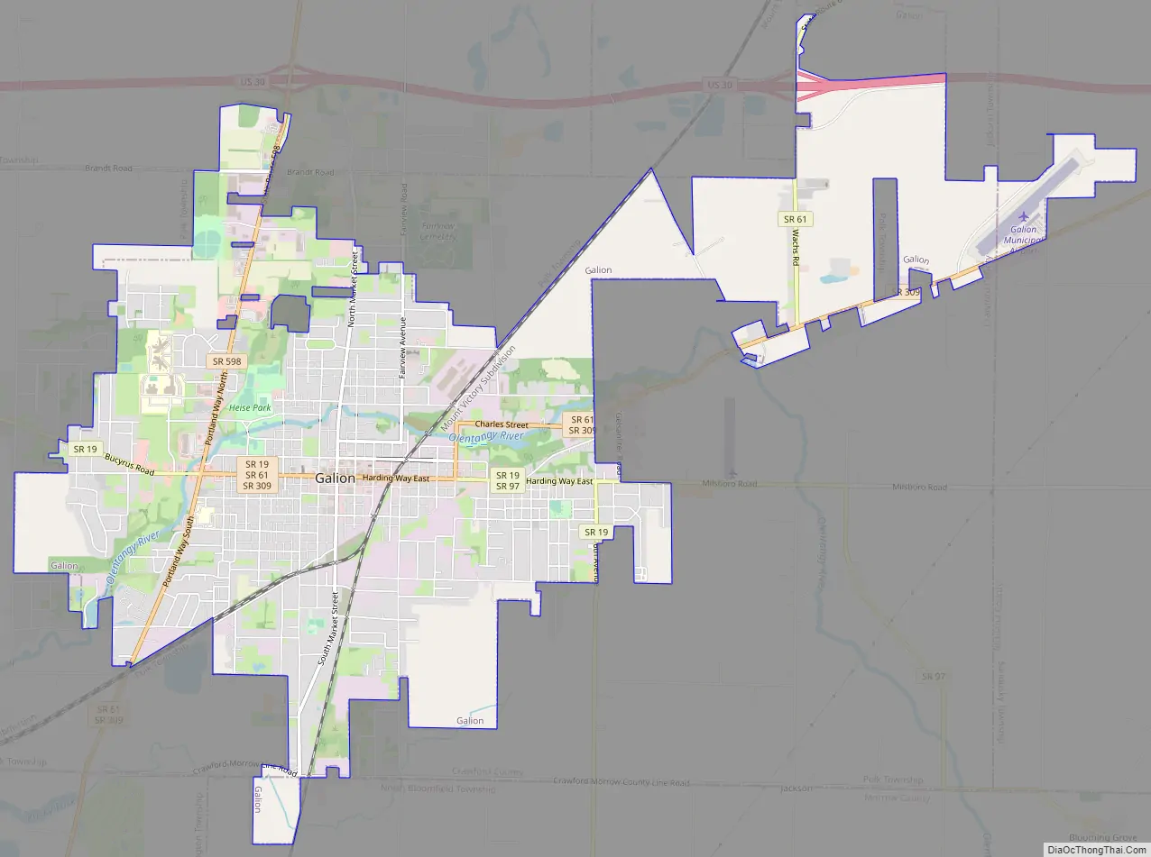
Galion Road Map
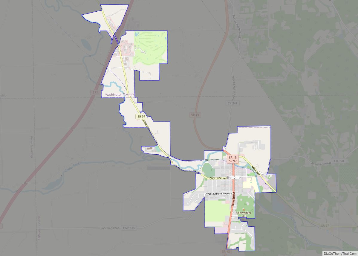
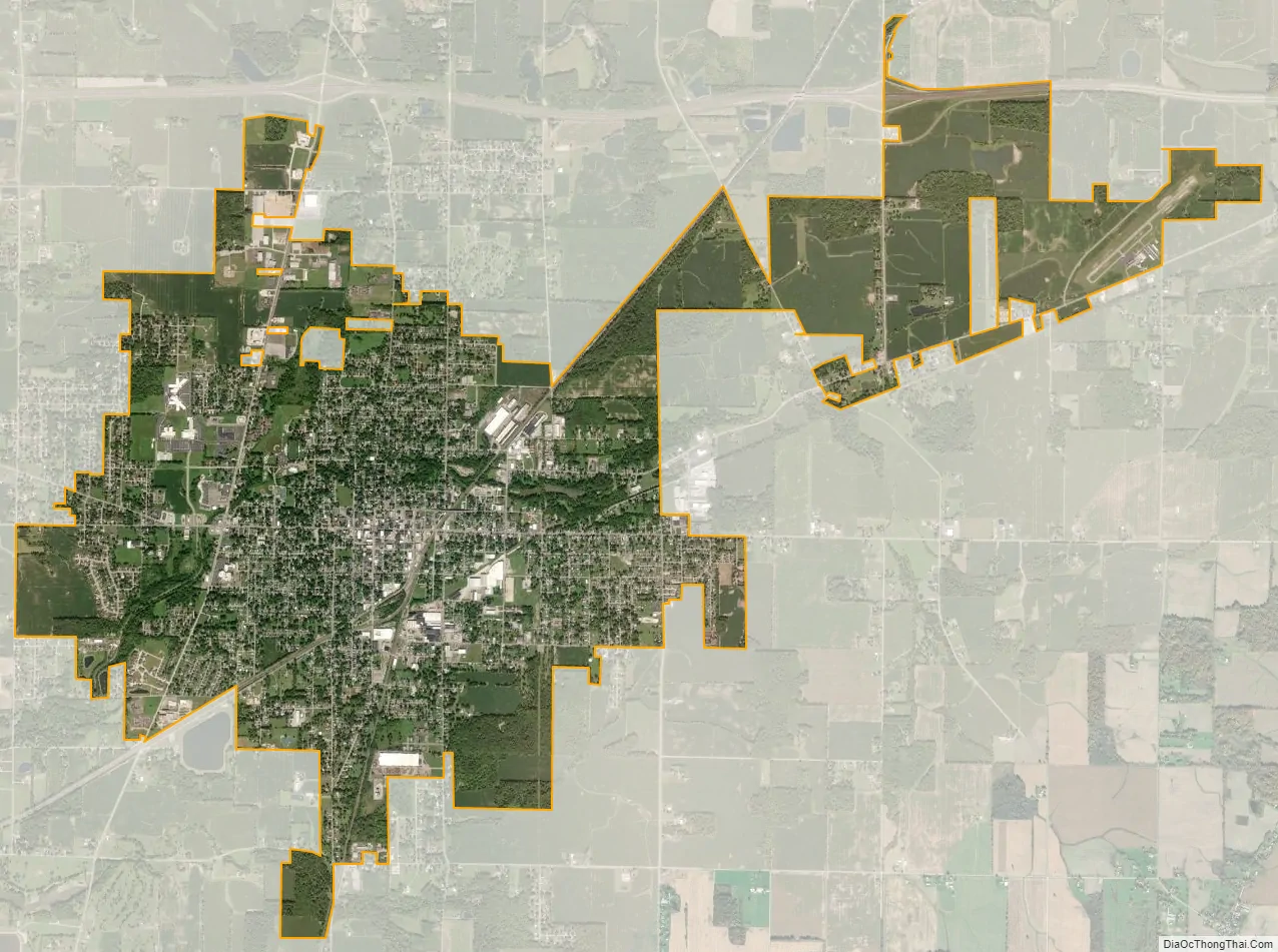
Galion city Satellite Map
Geography
Galion is located in the southeastern corner of Crawford County at 40°43′59″N 82°47′19″W / 40.73306°N 82.78861°W / 40.73306; -82.78861 (40.733164, -82.788586).
According to the United States Census Bureau, the city has a total area of 7.63 square miles (19.76 km), of which 7.61 square miles (19.71 km) is land and 0.02 square miles (0.05 km) is water.
Galion lies just south of a continental divide. The Olentangy River begins near and runs through Galion, and then winds southward toward Columbus and eventually empties into the Scioto River, a tributary of the Ohio and thus of the Mississippi. However, Lake Galion, which lies just north of town, is part of the Sandusky River watershed, which drains via Lakes Erie and Ontario into the Saint Lawrence River.
See also
Map of Ohio State and its subdivision:- Adams
- Allen
- Ashland
- Ashtabula
- Athens
- Auglaize
- Belmont
- Brown
- Butler
- Carroll
- Champaign
- Clark
- Clermont
- Clinton
- Columbiana
- Coshocton
- Crawford
- Cuyahoga
- Darke
- Defiance
- Delaware
- Erie
- Fairfield
- Fayette
- Franklin
- Fulton
- Gallia
- Geauga
- Greene
- Guernsey
- Hamilton
- Hancock
- Hardin
- Harrison
- Henry
- Highland
- Hocking
- Holmes
- Huron
- Jackson
- Jefferson
- Knox
- Lake
- Lake Erie
- Lawrence
- Licking
- Logan
- Lorain
- Lucas
- Madison
- Mahoning
- Marion
- Medina
- Meigs
- Mercer
- Miami
- Monroe
- Montgomery
- Morgan
- Morrow
- Muskingum
- Noble
- Ottawa
- Paulding
- Perry
- Pickaway
- Pike
- Portage
- Preble
- Putnam
- Richland
- Ross
- Sandusky
- Scioto
- Seneca
- Shelby
- Stark
- Summit
- Trumbull
- Tuscarawas
- Union
- Van Wert
- Vinton
- Warren
- Washington
- Wayne
- Williams
- Wood
- Wyandot
- Alabama
- Alaska
- Arizona
- Arkansas
- California
- Colorado
- Connecticut
- Delaware
- District of Columbia
- Florida
- Georgia
- Hawaii
- Idaho
- Illinois
- Indiana
- Iowa
- Kansas
- Kentucky
- Louisiana
- Maine
- Maryland
- Massachusetts
- Michigan
- Minnesota
- Mississippi
- Missouri
- Montana
- Nebraska
- Nevada
- New Hampshire
- New Jersey
- New Mexico
- New York
- North Carolina
- North Dakota
- Ohio
- Oklahoma
- Oregon
- Pennsylvania
- Rhode Island
- South Carolina
- South Dakota
- Tennessee
- Texas
- Utah
- Vermont
- Virginia
- Washington
- West Virginia
- Wisconsin
- Wyoming