Gettysburg is a village in Darke County, Ohio, United States. The population was 513 at the 2010 census.
| Name: | Gettysburg village |
|---|---|
| LSAD Code: | 47 |
| LSAD Description: | village (suffix) |
| State: | Ohio |
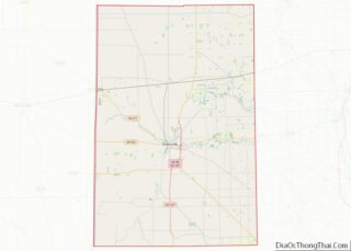
| County: | Darke County |
| Elevation: | 991 ft (302 m) |
| Total Area: | 0.44 sq mi (1.14 km²) |
| Land Area: | 0.44 sq mi (1.13 km²) |
| Water Area: | 0.00 sq mi (0.00 km²) |
| Total Population: | 463 |
| Population Density: | 1,057.08/sq mi (407.99/km²) |
| ZIP code: | 45328 |
| Area code: | 937, 326 |
| FIPS code: | 3929974 |
| GNISfeature ID: | 1048778 |
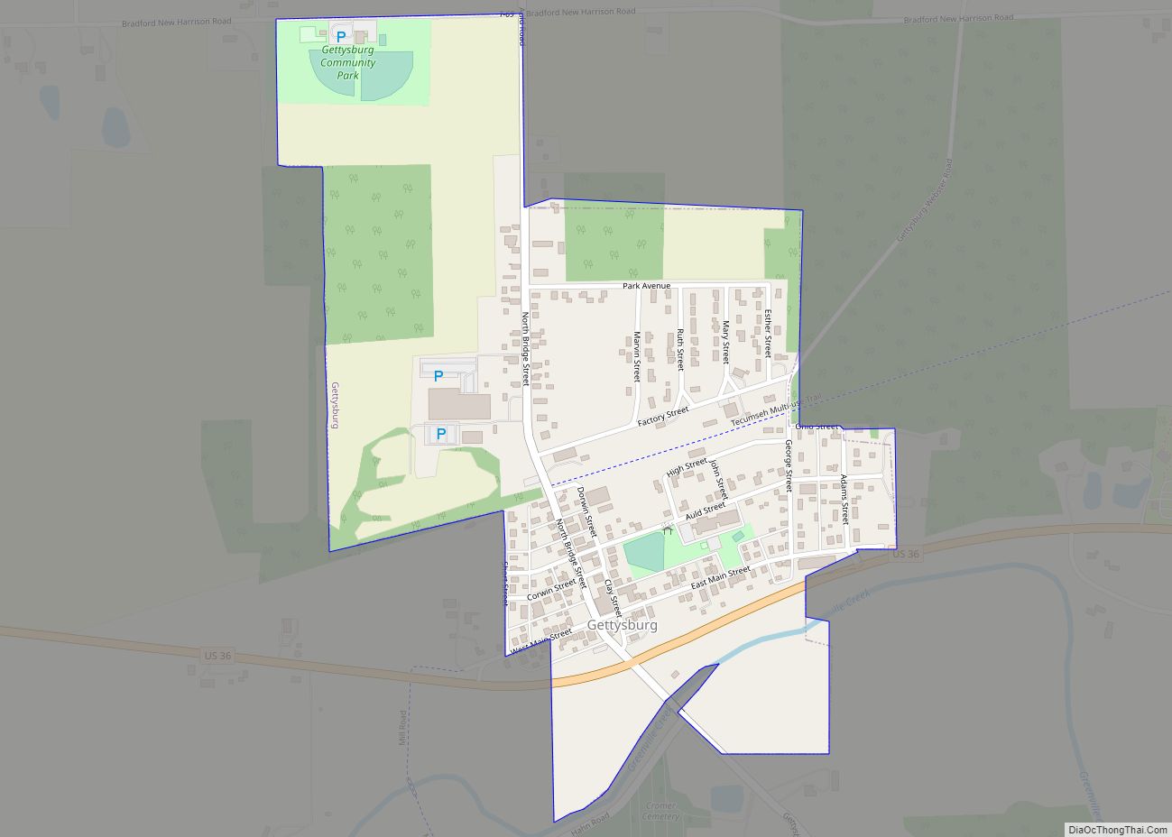
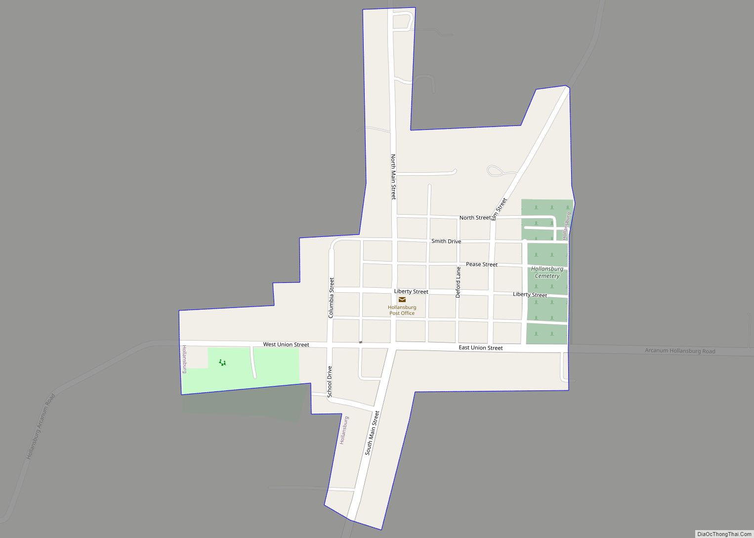
Online Interactive Map
Click on ![]() to view map in "full screen" mode.
to view map in "full screen" mode.
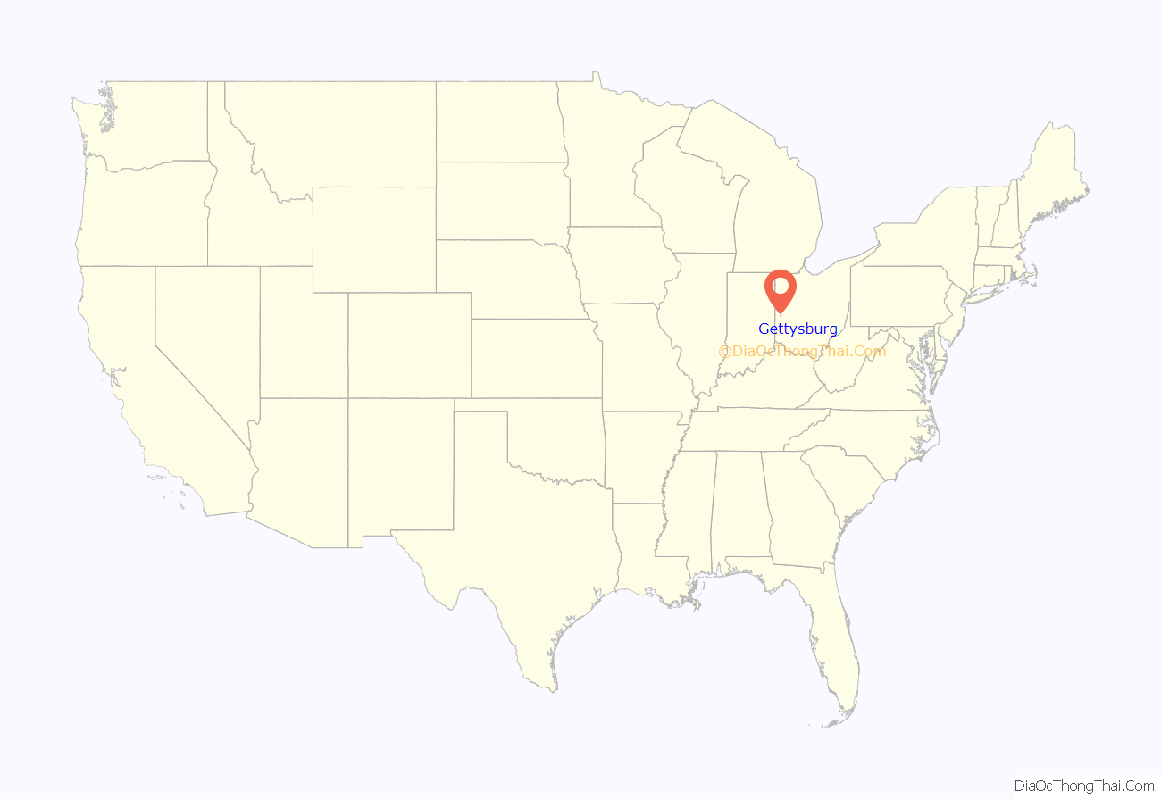
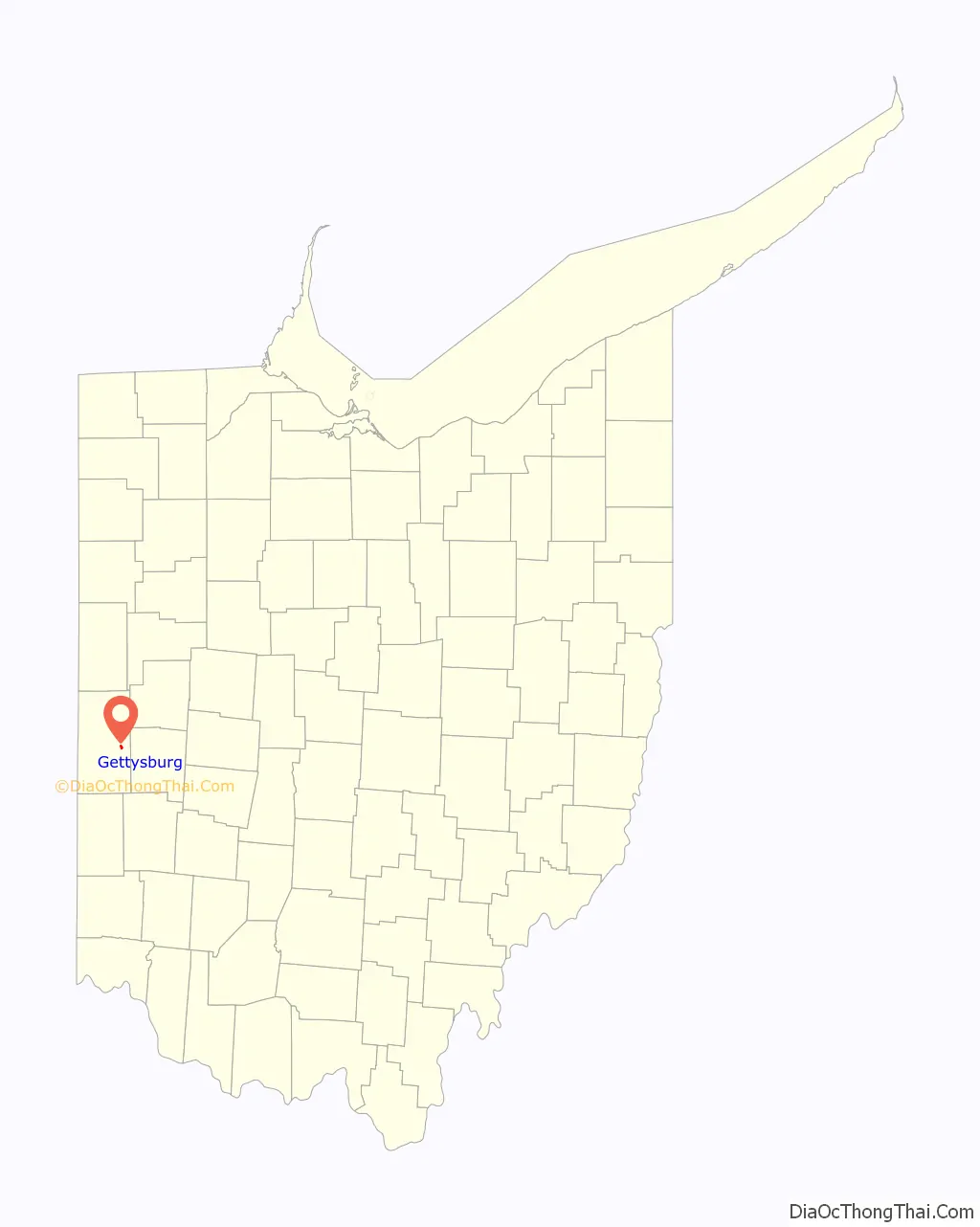
Gettysburg location map. Where is Gettysburg village?
History
Gettysburg was founded by natives of Adams County, Pennsylvania, in the late 1820s. When the settlement was platted by John Hershey in 1842, the community was named for Gettysburg, the county seat of Adams County. The community’s first church was a congregation of the Presbyterian Church in the United States of America, established in 1847 or 1848, while the first school was built in 1850.
By the 1860s the village had an active business sector including general stores, shoe shops, cabinet makers, wagon/carriage shops, harness shops, tanning yards, cooperages, blacksmiths, tinning shop, tailors, physicians, a hotel, grain elevator, flouring and saw mills. Several saloons opened but soon failed.
Around 1863 the Richmond and Covington Railroad (becoming part of the Pennsylvania Railroad in 1921) constructed a rail line that ran through Gettysburg. Early in the morning of April 30, 1865 Abraham Lincoln’s Funeral Train passed through the village on its journey to his burial place in Springfield, IL.
The railroad turned the town into a busy shipping point for agricultural products. For example, in 1907 one hundred and sixty-eight rail cars of tobacco valued at over one million dollars were shipped out. Also that year 398 carloads of grain valued at $300,000 were shipped from the town’s grain elevators. The rail line was abandoned in the 1980s and a portion of the railway corridor is now used for the Tecumseh Trail Multi-use Pathway, a popular recreation trail.
In 1922 Ira Petersime, a local businessman and entrepreneur, invented the electric poultry incubator. In short time Petersime and his son, Ray, built a manufacturing plant in Gettysburg and began shipping their incubators and other hatchery equipment all over the country and abroad. Their business grew to be one of the largest manufacturers of poultry incubators in the world. In 1933 a local historian commented that “the Petersime Incubator Co. put Gettysburg on the map of the world”. The business closed in 2006.
Gettysburg Road Map
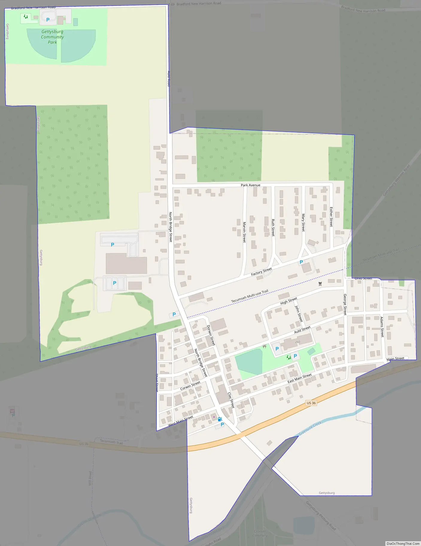
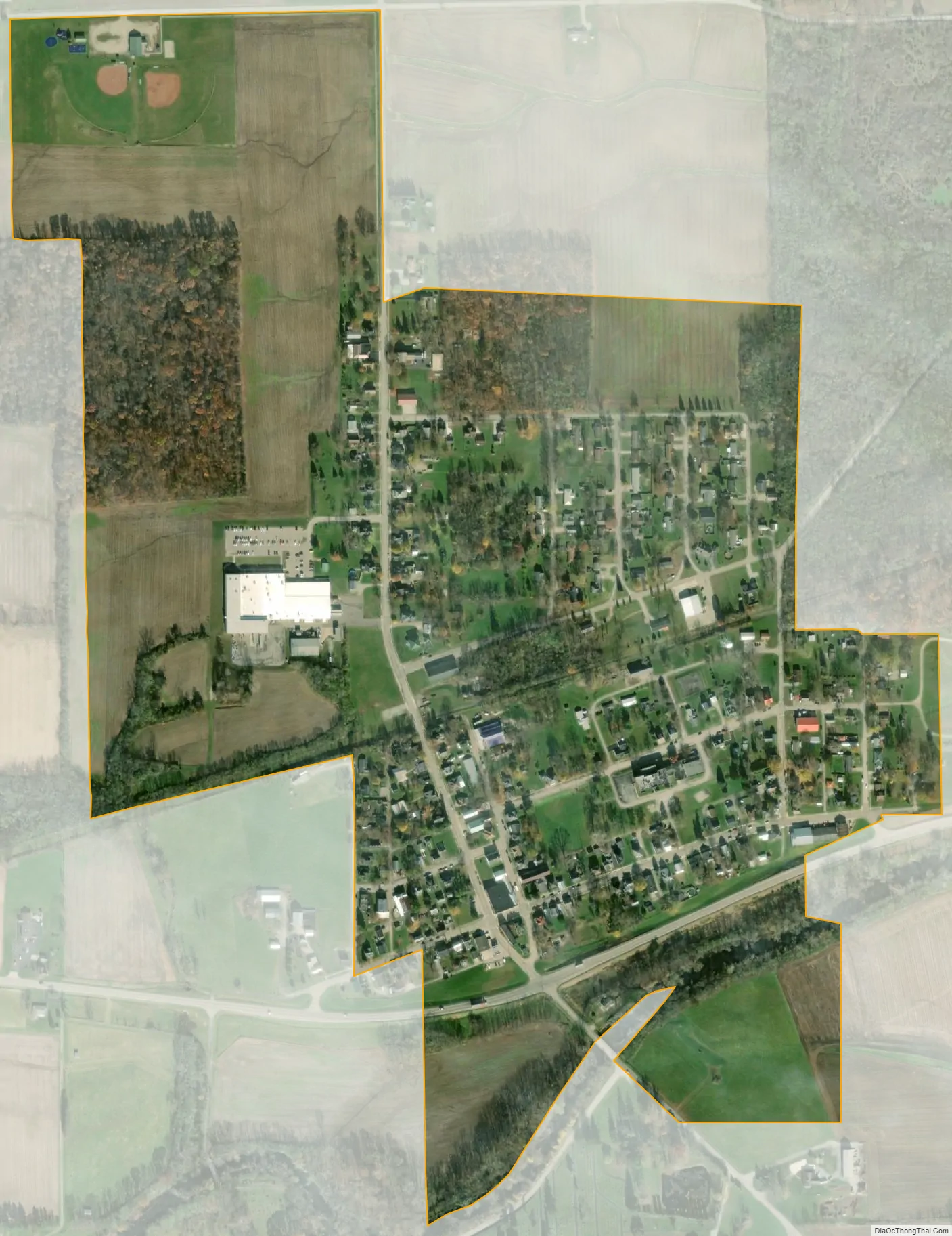
Gettysburg city Satellite Map
Geography
Gettysburg is located at 40°6′49″N 84°29′35″W / 40.11361°N 84.49306°W / 40.11361; -84.49306 (40.113609, -84.493188).
According to the United States Census Bureau, the village has a total area of 0.44 square miles (1.14 km), all land.
See also
Map of Ohio State and its subdivision:- Adams
- Allen
- Ashland
- Ashtabula
- Athens
- Auglaize
- Belmont
- Brown
- Butler
- Carroll
- Champaign
- Clark
- Clermont
- Clinton
- Columbiana
- Coshocton
- Crawford
- Cuyahoga
- Darke
- Defiance
- Delaware
- Erie
- Fairfield
- Fayette
- Franklin
- Fulton
- Gallia
- Geauga
- Greene
- Guernsey
- Hamilton
- Hancock
- Hardin
- Harrison
- Henry
- Highland
- Hocking
- Holmes
- Huron
- Jackson
- Jefferson
- Knox
- Lake
- Lake Erie
- Lawrence
- Licking
- Logan
- Lorain
- Lucas
- Madison
- Mahoning
- Marion
- Medina
- Meigs
- Mercer
- Miami
- Monroe
- Montgomery
- Morgan
- Morrow
- Muskingum
- Noble
- Ottawa
- Paulding
- Perry
- Pickaway
- Pike
- Portage
- Preble
- Putnam
- Richland
- Ross
- Sandusky
- Scioto
- Seneca
- Shelby
- Stark
- Summit
- Trumbull
- Tuscarawas
- Union
- Van Wert
- Vinton
- Warren
- Washington
- Wayne
- Williams
- Wood
- Wyandot
- Alabama
- Alaska
- Arizona
- Arkansas
- California
- Colorado
- Connecticut
- Delaware
- District of Columbia
- Florida
- Georgia
- Hawaii
- Idaho
- Illinois
- Indiana
- Iowa
- Kansas
- Kentucky
- Louisiana
- Maine
- Maryland
- Massachusetts
- Michigan
- Minnesota
- Mississippi
- Missouri
- Montana
- Nebraska
- Nevada
- New Hampshire
- New Jersey
- New Mexico
- New York
- North Carolina
- North Dakota
- Ohio
- Oklahoma
- Oregon
- Pennsylvania
- Rhode Island
- South Carolina
- South Dakota
- Tennessee
- Texas
- Utah
- Vermont
- Virginia
- Washington
- West Virginia
- Wisconsin
- Wyoming