Harbor Hills is a census-designated place (CDP) in southern Licking County, Ohio, United States. The population was 1,509 at the 2010 census, up from 1,303 at the 2000 census.
A post office called Harbor Hills was established in 1927, and remained in operation until 1943.
| Name: | Harbor Hills CDP |
|---|---|
| LSAD Code: | 57 |
| LSAD Description: | CDP (suffix) |
| State: | Ohio |
| County: | Licking County |
| Elevation: | 929 ft (283 m) |
| Total Area: | 3.48 sq mi (9.02 km²) |
| Land Area: | 2.75 sq mi (7.14 km²) |
| Water Area: | 0.73 sq mi (1.89 km²) |
| Total Population: | 1,565 |
| Population Density: | 568.06/sq mi (219.33/km²) |
| FIPS code: | 3933362 |
| GNISfeature ID: | 1867456 |
Online Interactive Map
Click on ![]() to view map in "full screen" mode.
to view map in "full screen" mode.
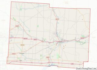
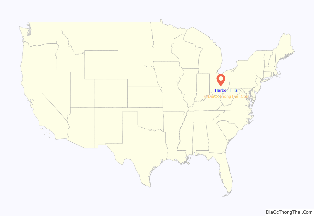
Harbor Hills location map. Where is Harbor Hills CDP?
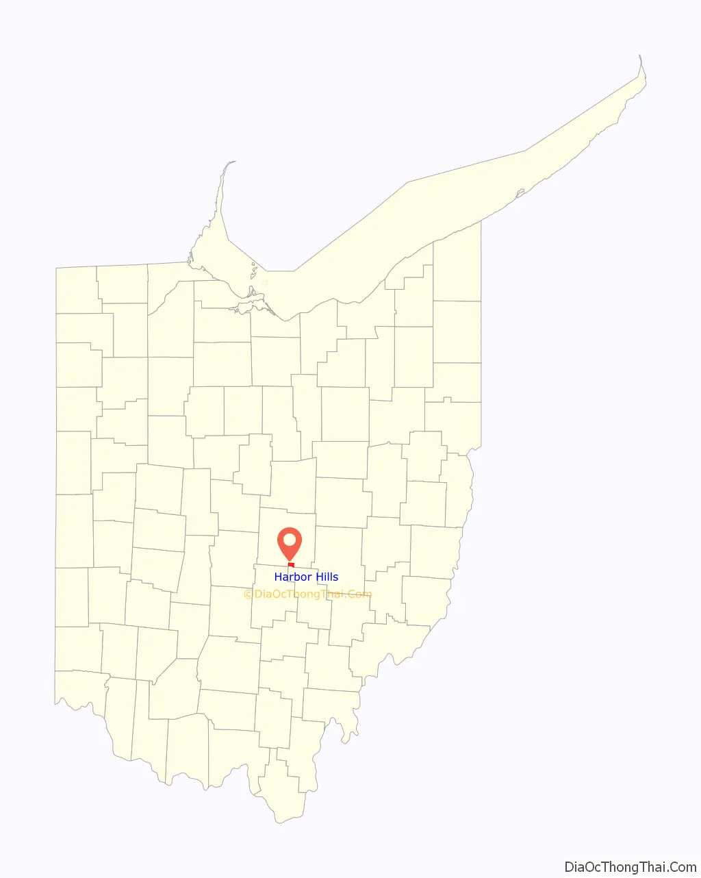
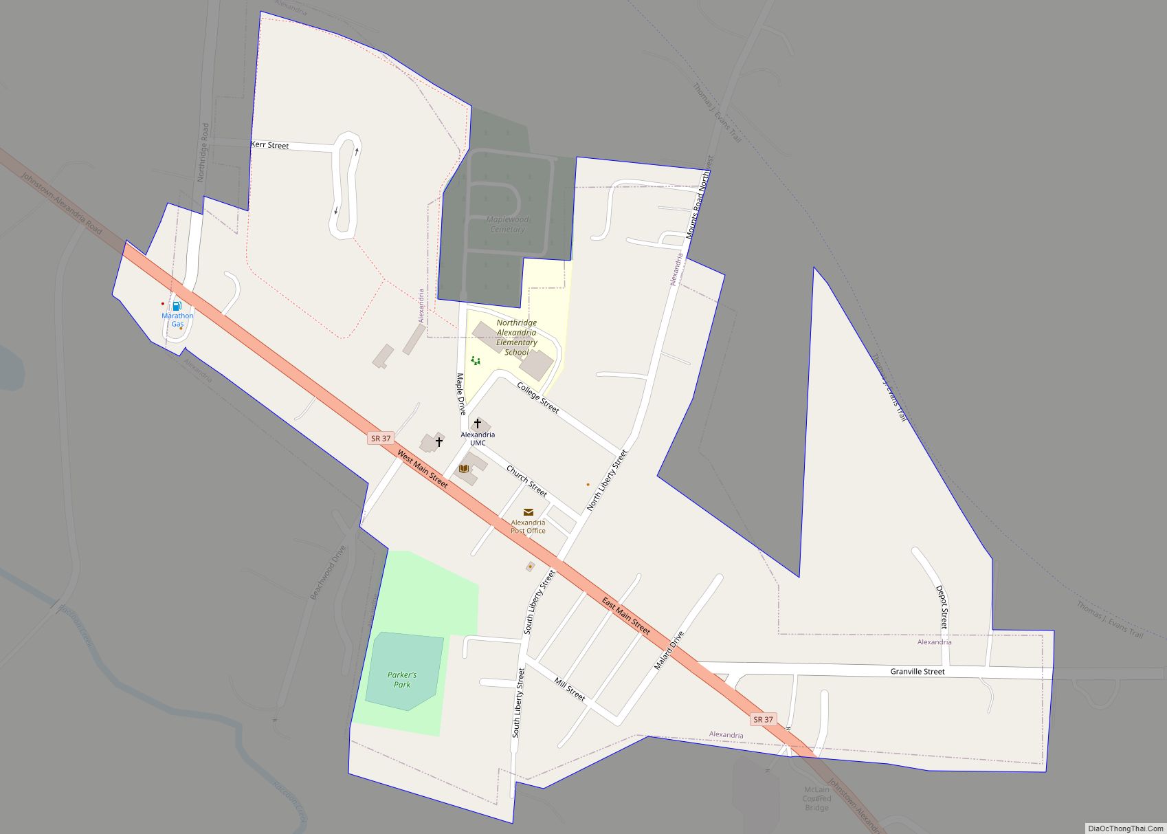
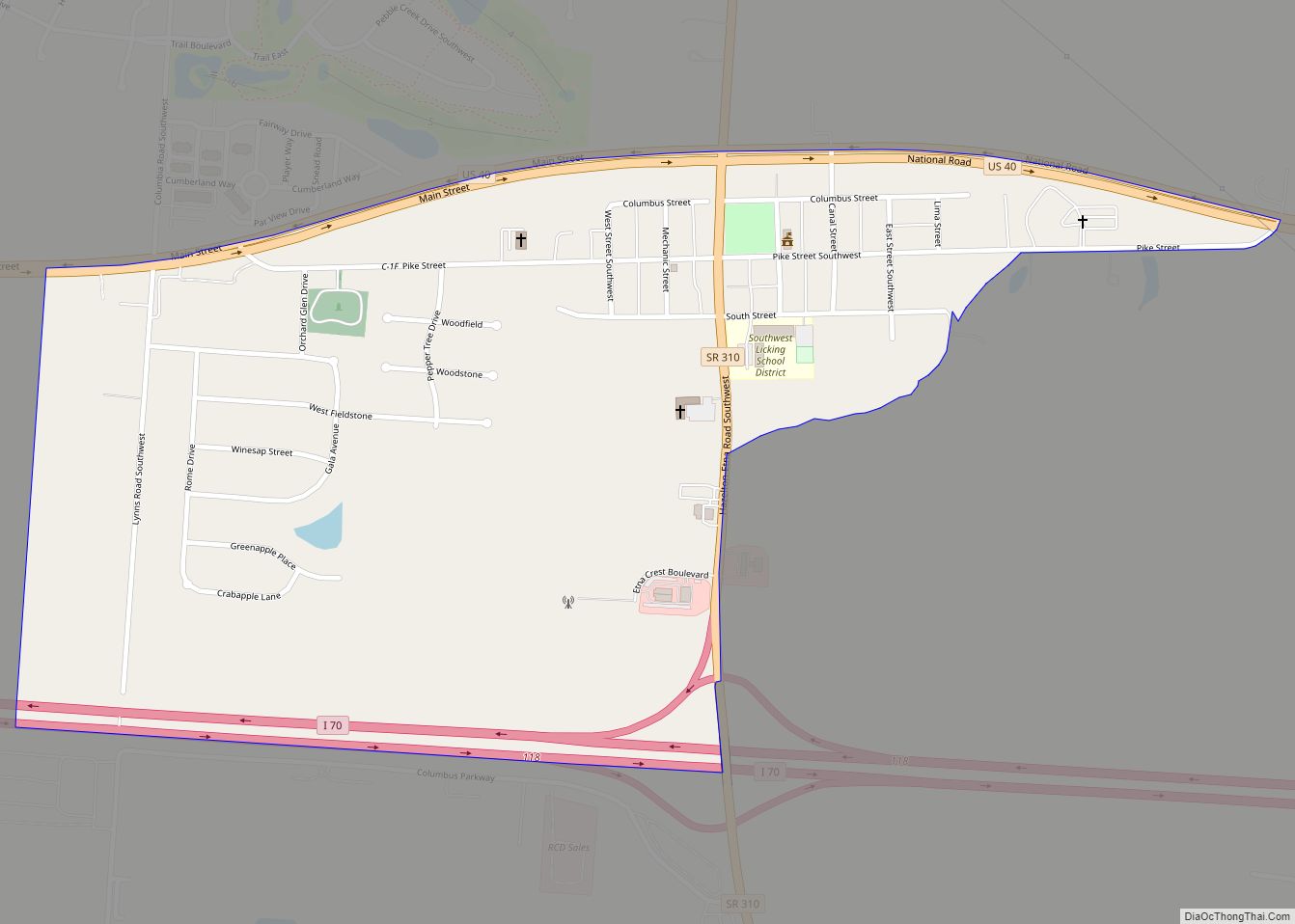
Harbor Hills Road Map
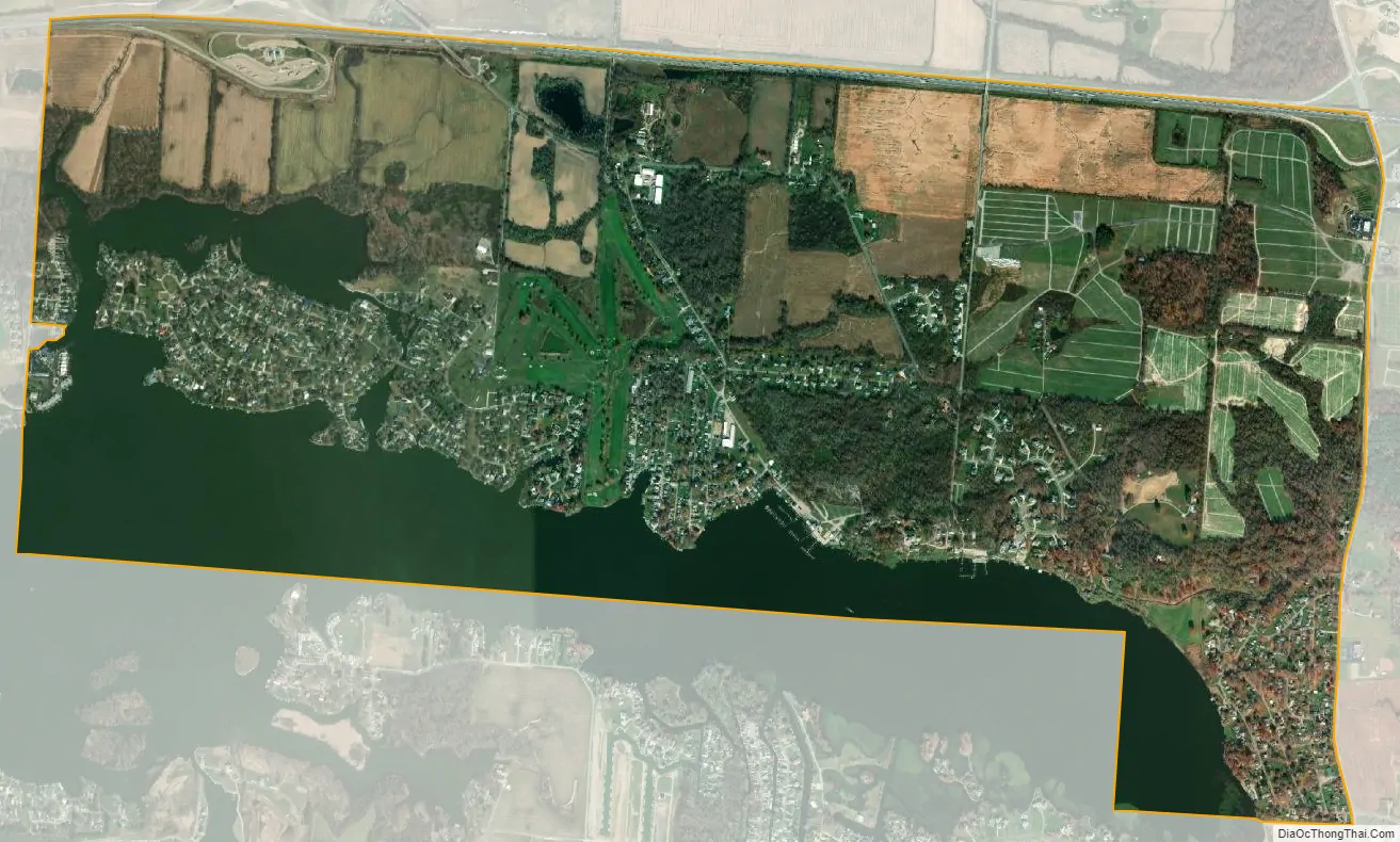
Harbor Hills city Satellite Map
Geography
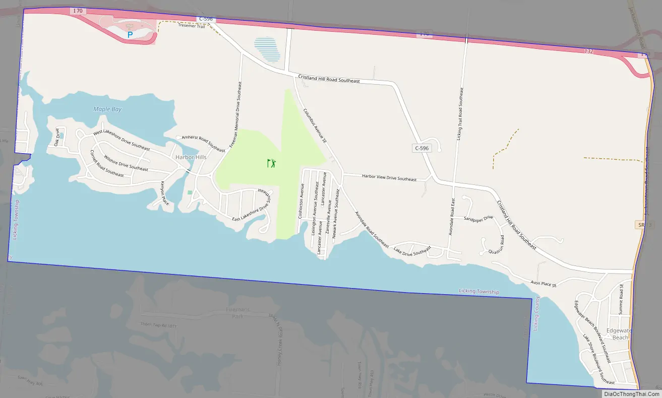
Harbor Hills is located in southern Licking County on the north and northeast sides of Buckeye Lake. The CDP is in the southern part of Licking Township and is bordered to the west by the village of Buckeye Lake in Union Township of Licking County, and to the south by Thornport in Perry County. Interstate 70 forms the northern edge of the CDP, and Ohio State Route 13 forms the eastern edge. The neighborhood of Harbor Hills is in the western part of the CDP, while Edgewater Beach is in the southeast corner of the CDP. Both neighborhoods have shorefront on Buckeye Lake.
From State Route 13, Interstate 70 leads west 32 miles (51 km) to Columbus and east 21 miles (34 km) to Zanesville, while State Route 13 leads north 8 miles (13 km) to Newark, the Licking county seat, and southeast 13 miles (21 km) to Somerset.
According to the United States Census Bureau, the Harbor Hills CDP has a total area of 3.5 square miles (9.0 km), of which 2.7 square miles (7.1 km) are land and 0.73 square miles (1.9 km), or 20.94%, are water. The water area is part of Buckeye Lake, a reservoir constructed in the 19th century as part of the Ohio and Erie Canal project, but is now primarily used for recreation.
See also
Map of Ohio State and its subdivision:- Adams
- Allen
- Ashland
- Ashtabula
- Athens
- Auglaize
- Belmont
- Brown
- Butler
- Carroll
- Champaign
- Clark
- Clermont
- Clinton
- Columbiana
- Coshocton
- Crawford
- Cuyahoga
- Darke
- Defiance
- Delaware
- Erie
- Fairfield
- Fayette
- Franklin
- Fulton
- Gallia
- Geauga
- Greene
- Guernsey
- Hamilton
- Hancock
- Hardin
- Harrison
- Henry
- Highland
- Hocking
- Holmes
- Huron
- Jackson
- Jefferson
- Knox
- Lake
- Lake Erie
- Lawrence
- Licking
- Logan
- Lorain
- Lucas
- Madison
- Mahoning
- Marion
- Medina
- Meigs
- Mercer
- Miami
- Monroe
- Montgomery
- Morgan
- Morrow
- Muskingum
- Noble
- Ottawa
- Paulding
- Perry
- Pickaway
- Pike
- Portage
- Preble
- Putnam
- Richland
- Ross
- Sandusky
- Scioto
- Seneca
- Shelby
- Stark
- Summit
- Trumbull
- Tuscarawas
- Union
- Van Wert
- Vinton
- Warren
- Washington
- Wayne
- Williams
- Wood
- Wyandot
- Alabama
- Alaska
- Arizona
- Arkansas
- California
- Colorado
- Connecticut
- Delaware
- District of Columbia
- Florida
- Georgia
- Hawaii
- Idaho
- Illinois
- Indiana
- Iowa
- Kansas
- Kentucky
- Louisiana
- Maine
- Maryland
- Massachusetts
- Michigan
- Minnesota
- Mississippi
- Missouri
- Montana
- Nebraska
- Nevada
- New Hampshire
- New Jersey
- New Mexico
- New York
- North Carolina
- North Dakota
- Ohio
- Oklahoma
- Oregon
- Pennsylvania
- Rhode Island
- South Carolina
- South Dakota
- Tennessee
- Texas
- Utah
- Vermont
- Virginia
- Washington
- West Virginia
- Wisconsin
- Wyoming