Harrisburg is a village in Franklin and Pickaway counties in the U.S. state of Ohio. The population was 315 at the 2020 census.
| Name: | Harrisburg village |
|---|---|
| LSAD Code: | 47 |
| LSAD Description: | village (suffix) |
| State: | Ohio |
| County: | Franklin County, Pickaway County |
| Elevation: | 794 ft (242 m) |
| Total Area: | 0.15 sq mi (0.40 km²) |
| Land Area: | 0.15 sq mi (0.40 km²) |
| Water Area: | 0.00 sq mi (0.00 km²) |
| Total Population: | 315 |
| Population Density: | 2,032.26/sq mi (784.61/km²) |
| ZIP code: | 43126 |
| Area code: | 614 and 380 |
| FIPS code: | 3933740 |
| GNISfeature ID: | 1064801 |
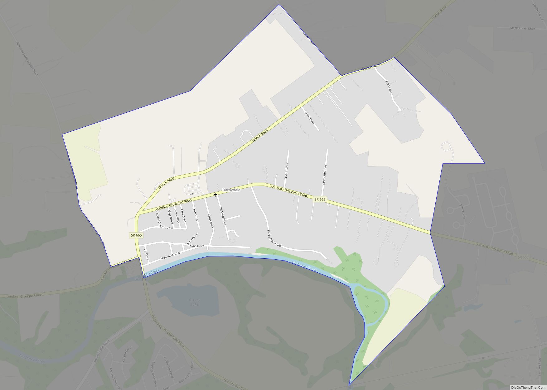
Online Interactive Map
Click on ![]() to view map in "full screen" mode.
to view map in "full screen" mode.
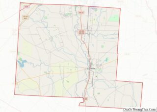
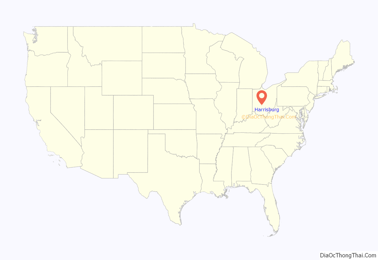
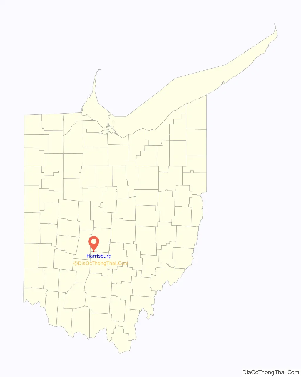
Harrisburg location map. Where is Harrisburg village?
History
Harrisburg was founded in 1836 by Joseph Chenowith, and surveyed and platted by Frederick Cole. Prior to the laying out of the village, the area was known as Darby Cross Roads. The present name is after Harrisburg, Pennsylvania.
Prior to the establishment of the village of Harrisburg, the Big Darby Post Office had been established on March 13, 1834, and the name was changed to Harrisburgh Post Office on February 18, 1835. The post office was, for an unknown reason, discontinued or decommissioned on August 26, 1836, but was quickly re-established on October 21, 1836. The spelling was officially changed to “Harrisburg” on March 30, 1893.
From the outset in 1836 Harrisburg was known as a lively village, and then held about thirty families. By 1858 the population had grown to one hundred and fifteen, by 1900 to around two hundred, and in 1908 was estimated at three hundred.
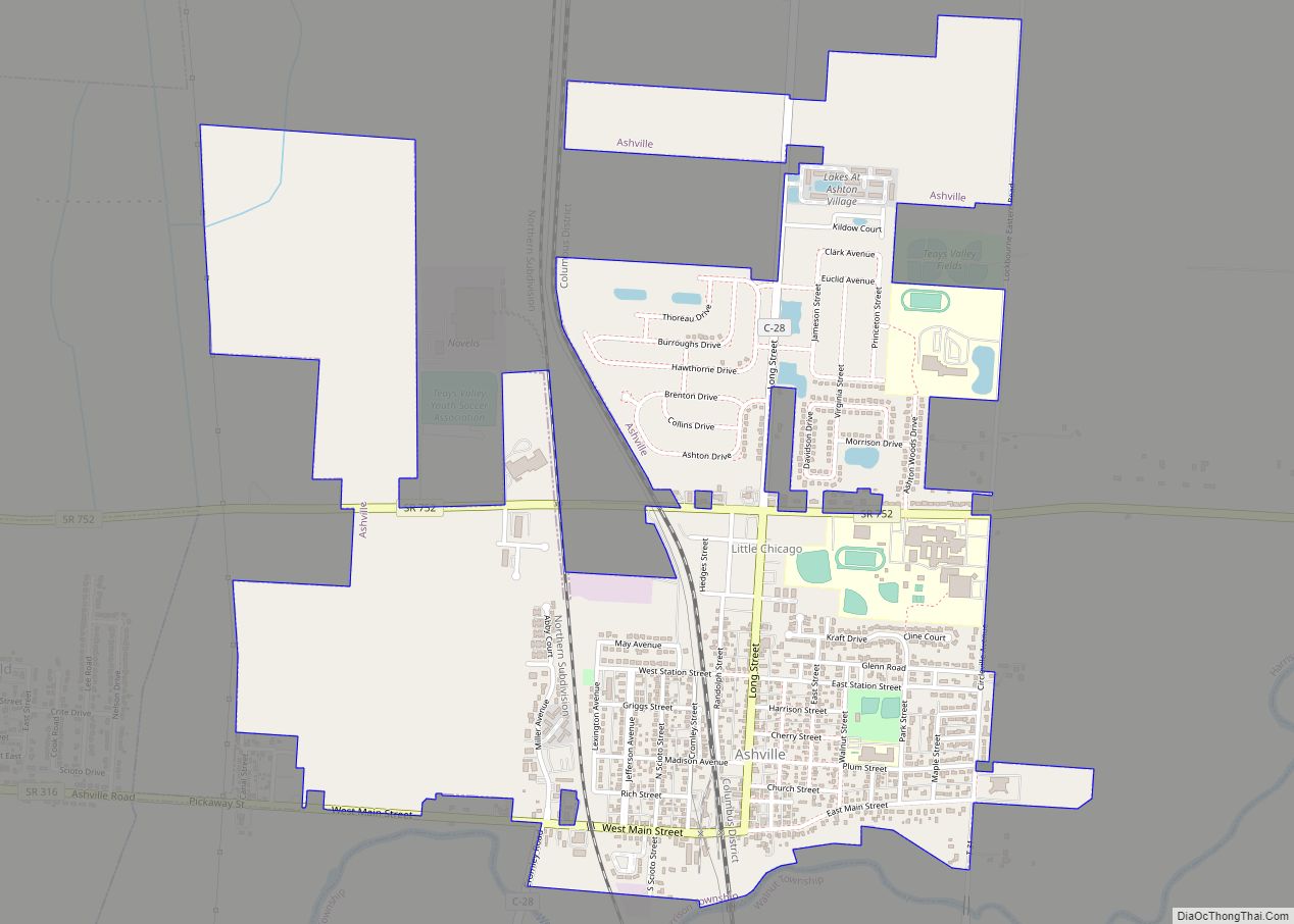
Harrisburg Road Map
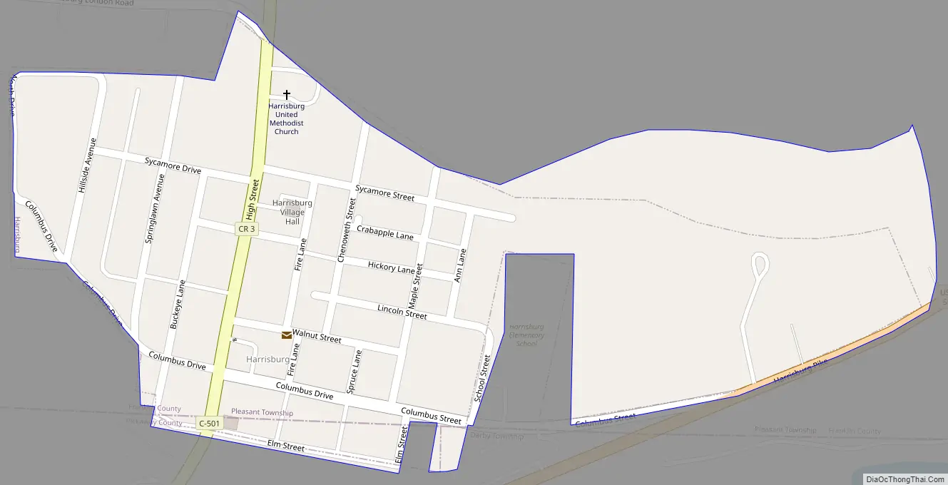
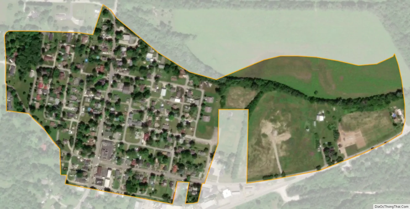
Harrisburg city Satellite Map
Geography
Harrisburg is located at 39°48′39″N 83°10′15″W / 39.81083°N 83.17083°W / 39.81083; -83.17083 (39.810729, -83.170728).
According to the United States Census Bureau, the village has a total area of 0.15 square miles (0.39 km), all land.
See also
Map of Ohio State and its subdivision:- Adams
- Allen
- Ashland
- Ashtabula
- Athens
- Auglaize
- Belmont
- Brown
- Butler
- Carroll
- Champaign
- Clark
- Clermont
- Clinton
- Columbiana
- Coshocton
- Crawford
- Cuyahoga
- Darke
- Defiance
- Delaware
- Erie
- Fairfield
- Fayette
- Franklin
- Fulton
- Gallia
- Geauga
- Greene
- Guernsey
- Hamilton
- Hancock
- Hardin
- Harrison
- Henry
- Highland
- Hocking
- Holmes
- Huron
- Jackson
- Jefferson
- Knox
- Lake
- Lake Erie
- Lawrence
- Licking
- Logan
- Lorain
- Lucas
- Madison
- Mahoning
- Marion
- Medina
- Meigs
- Mercer
- Miami
- Monroe
- Montgomery
- Morgan
- Morrow
- Muskingum
- Noble
- Ottawa
- Paulding
- Perry
- Pickaway
- Pike
- Portage
- Preble
- Putnam
- Richland
- Ross
- Sandusky
- Scioto
- Seneca
- Shelby
- Stark
- Summit
- Trumbull
- Tuscarawas
- Union
- Van Wert
- Vinton
- Warren
- Washington
- Wayne
- Williams
- Wood
- Wyandot
- Alabama
- Alaska
- Arizona
- Arkansas
- California
- Colorado
- Connecticut
- Delaware
- District of Columbia
- Florida
- Georgia
- Hawaii
- Idaho
- Illinois
- Indiana
- Iowa
- Kansas
- Kentucky
- Louisiana
- Maine
- Maryland
- Massachusetts
- Michigan
- Minnesota
- Mississippi
- Missouri
- Montana
- Nebraska
- Nevada
- New Hampshire
- New Jersey
- New Mexico
- New York
- North Carolina
- North Dakota
- Ohio
- Oklahoma
- Oregon
- Pennsylvania
- Rhode Island
- South Carolina
- South Dakota
- Tennessee
- Texas
- Utah
- Vermont
- Virginia
- Washington
- West Virginia
- Wisconsin
- Wyoming