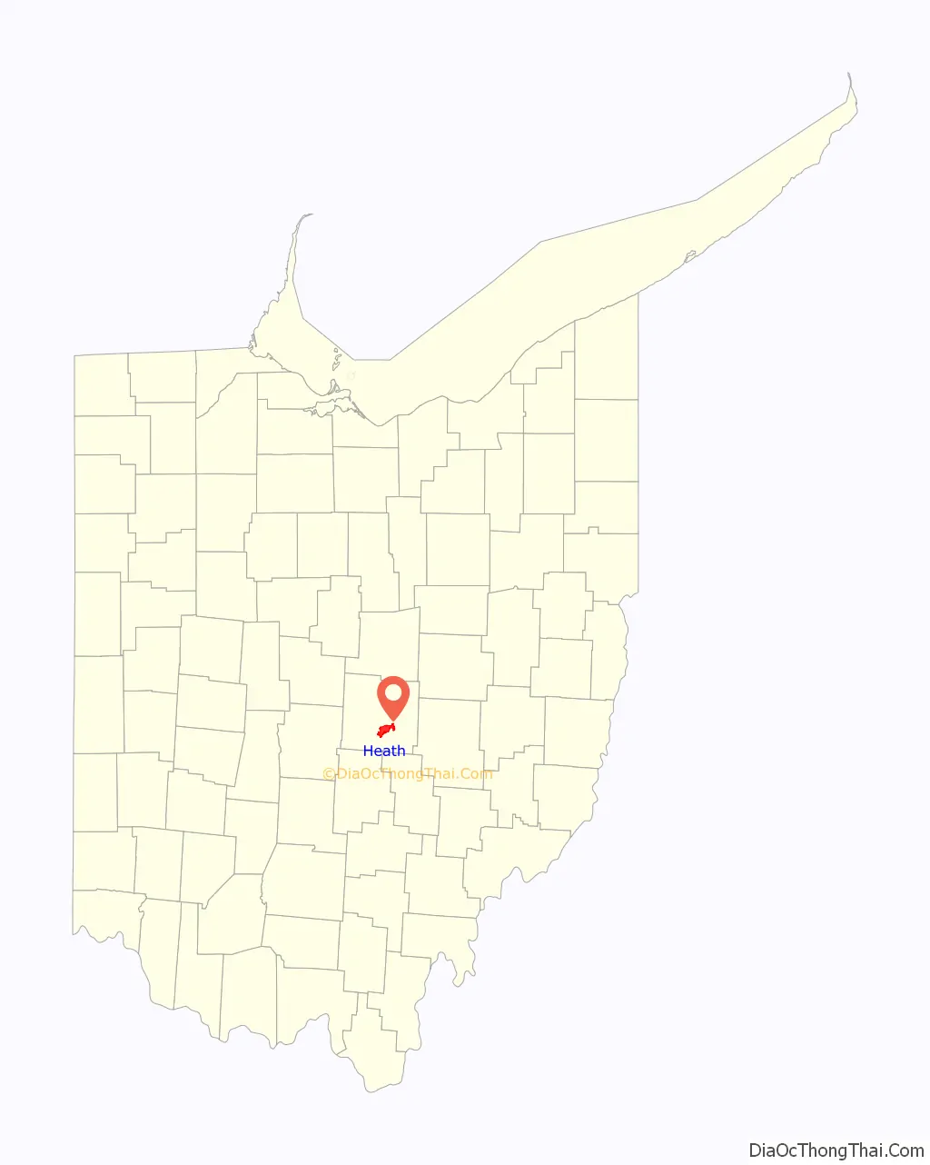
Heath is a city in Licking County, Ohio, United States, and is located approximately 30 mi (48 km) east of Columbus. The population was 10,310 at the 2010 census. It is one of three cities in the county.
| Name: | Heath city |
|---|---|
| LSAD Code: | 25 |
| LSAD Description: | city (suffix) |
| State: | Ohio |
| County: | Licking County |
| Elevation: | 860 ft (260 m) |
| Total Area: | 11.13 sq mi (28.84 km²) |
| Land Area: | 11.06 sq mi (28.65 km²) |
| Water Area: | 0.07 sq mi (0.19 km²) |
| Total Population: | 10,412 |
| Population Density: | 941.16/sq mi (363.38/km²) |
| ZIP code: | 43056 |
| Area code: | 740&220 |
| FIPS code: | 3934748 |
| GNISfeature ID: | 1056322 |
| Website: | http://www.heathohio.gov/ |
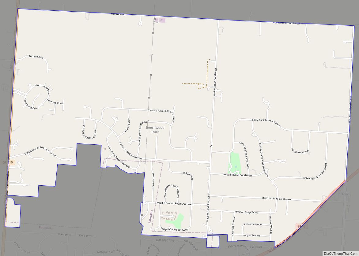
Online Interactive Map
Click on ![]() to view map in "full screen" mode.
to view map in "full screen" mode.
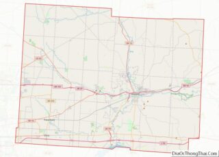
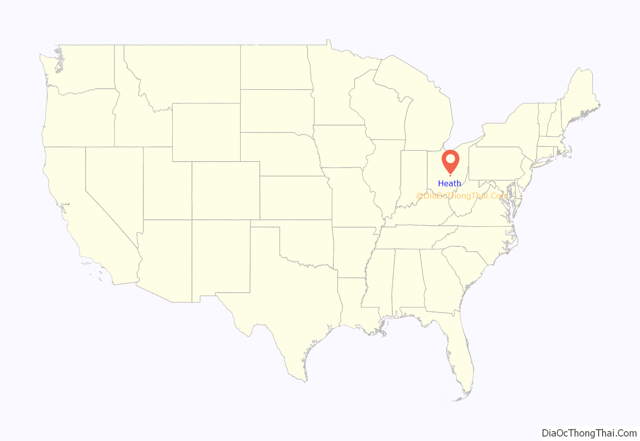
Heath location map. Where is Heath city?
History
This area is known to have been populated by the Hopewell Indians through the first century CE. They built large earthworks, including ancient burial mounds which are now preserved within Moundbuilders State Memorial on the north side of the city.
This also has the Great Circle Earthwork, considered part of the Newark Earthworks, which has two other sections within the boundaries of nearby Newark, Ohio. The complex originally covered more than 3,000 acres, and was surveyed before 1850 by a team for the Smithsonian Institution. The 1,054-foot (321 m)-wide Newark Great Circle is one of the largest circular earthwork in the Americas, at least in construction effort. A 5-foot (1.5 m) deep moat is encompassed by walls that are 8 feet (2.4 m) high; at the entrance, the dimensions are even more grand.
The Newark Earthworks is operated as a state park by the Ohio History Connection. Designated as a National Historic Landmark, in 2006 the Newark Earthworks was also designated as the “official prehistoric monument of the State of Ohio.”
European-American settlement
Early European-American settlement did not take place until the nineteenth century. Much of the county was originally devoted to agriculture. In the process of clearing and cultivating land, farmers destroyed some of the earthworks in the 19th and 20th centuries. Other development also encroached on the ancient works.
After World War II, Newark Air Force Base was established here, and it operated for 35 years as the seat of United States Air Force Aerospace Guidance and Metrology Center. This function is now served by AFMETCAL and the contractor-operated Air Force Primary Standards Lab.
Heath was incorporated as a village in 1952, with Richard Hoback being elected as the first mayor. Over the next decade Heath grew quickly, going from a population of 2,426 in 1960 to 6,066 in 1965, when it was chartered as the 196th city in Ohio. It is one of three in the county.
In 1986 Indian Mound Mall opened here, the first and only indoor shopping mall in Licking County. By 1990 the city had a population of 7,231. Despite the large population growth on the western edge of Licking County, Heath remains the third-largest municipality in the county, and one of only three cities. Other residential areas nearby include Newark, Granville, and Hebron.
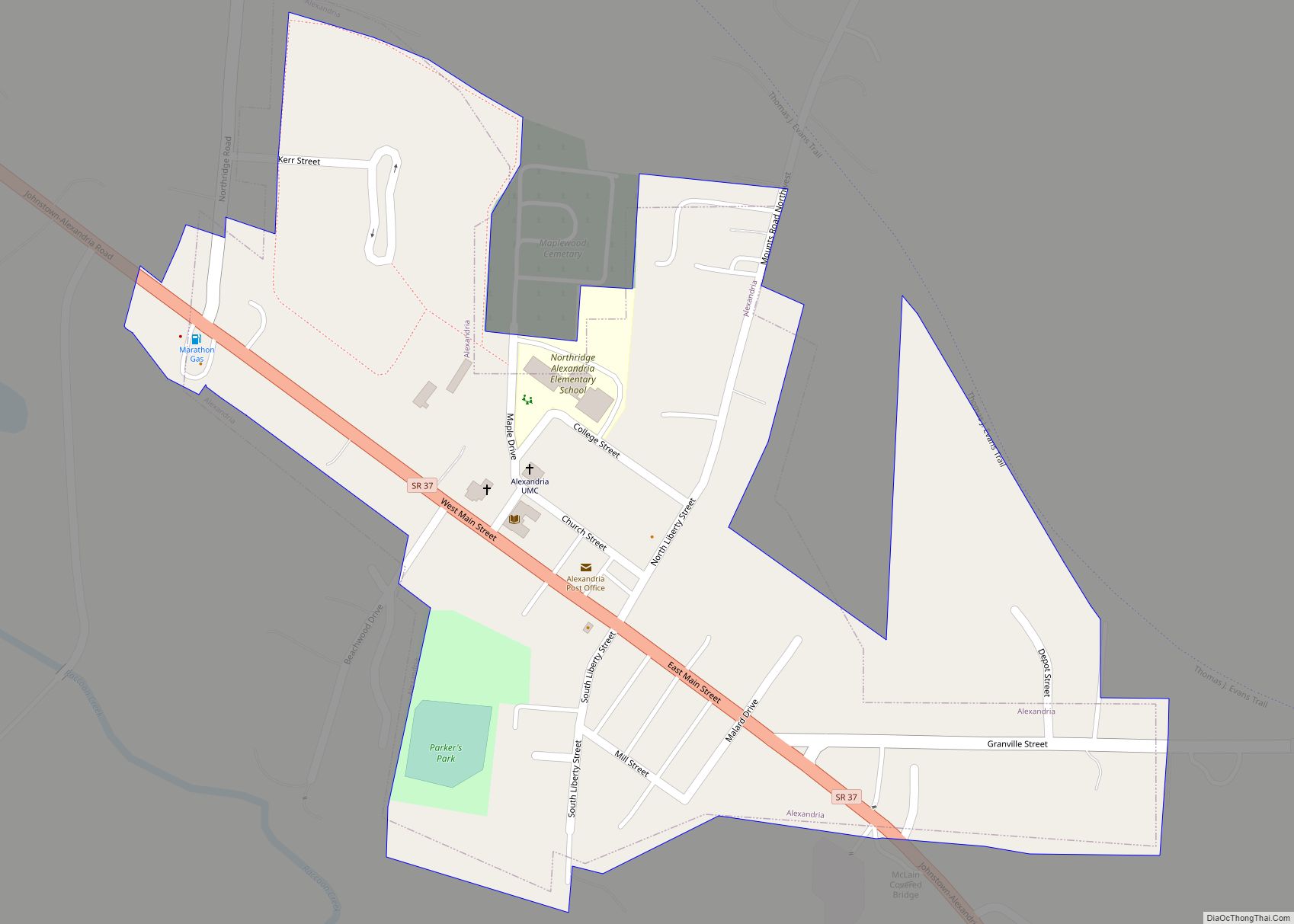
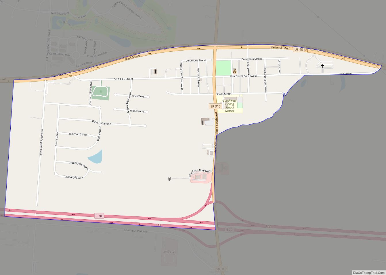
Heath Road Map
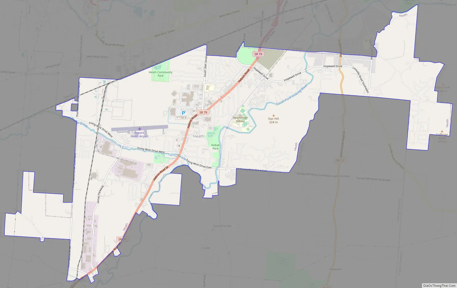
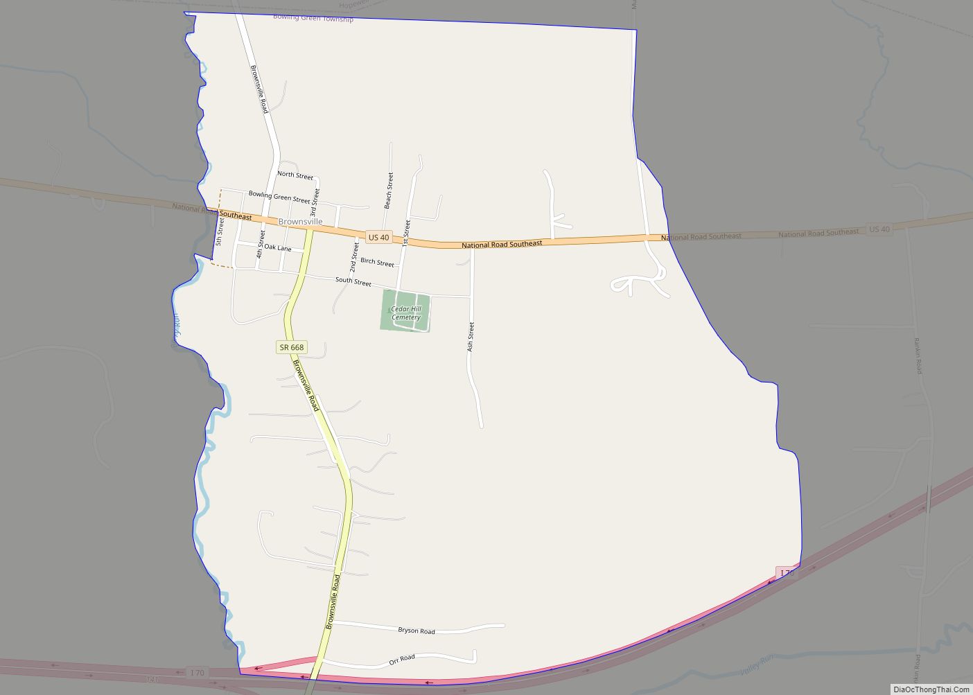
Heath city Satellite Map

Geography
According to the United States Census Bureau, the city has a total area of 11.00 square miles (28.49 km), of which 10.92 square miles (28.28 km) is land and 0.08 square miles (0.21 km) is water.
See also
Map of Ohio State and its subdivision:- Adams
- Allen
- Ashland
- Ashtabula
- Athens
- Auglaize
- Belmont
- Brown
- Butler
- Carroll
- Champaign
- Clark
- Clermont
- Clinton
- Columbiana
- Coshocton
- Crawford
- Cuyahoga
- Darke
- Defiance
- Delaware
- Erie
- Fairfield
- Fayette
- Franklin
- Fulton
- Gallia
- Geauga
- Greene
- Guernsey
- Hamilton
- Hancock
- Hardin
- Harrison
- Henry
- Highland
- Hocking
- Holmes
- Huron
- Jackson
- Jefferson
- Knox
- Lake
- Lake Erie
- Lawrence
- Licking
- Logan
- Lorain
- Lucas
- Madison
- Mahoning
- Marion
- Medina
- Meigs
- Mercer
- Miami
- Monroe
- Montgomery
- Morgan
- Morrow
- Muskingum
- Noble
- Ottawa
- Paulding
- Perry
- Pickaway
- Pike
- Portage
- Preble
- Putnam
- Richland
- Ross
- Sandusky
- Scioto
- Seneca
- Shelby
- Stark
- Summit
- Trumbull
- Tuscarawas
- Union
- Van Wert
- Vinton
- Warren
- Washington
- Wayne
- Williams
- Wood
- Wyandot
- Alabama
- Alaska
- Arizona
- Arkansas
- California
- Colorado
- Connecticut
- Delaware
- District of Columbia
- Florida
- Georgia
- Hawaii
- Idaho
- Illinois
- Indiana
- Iowa
- Kansas
- Kentucky
- Louisiana
- Maine
- Maryland
- Massachusetts
- Michigan
- Minnesota
- Mississippi
- Missouri
- Montana
- Nebraska
- Nevada
- New Hampshire
- New Jersey
- New Mexico
- New York
- North Carolina
- North Dakota
- Ohio
- Oklahoma
- Oregon
- Pennsylvania
- Rhode Island
- South Carolina
- South Dakota
- Tennessee
- Texas
- Utah
- Vermont
- Virginia
- Washington
- West Virginia
- Wisconsin
- Wyoming