Lake Milton is a census-designated place in central Milton Township, Mahoning County, Ohio, United States. The population was 637 at the 2020 census. Located in northwestern Mahoning County, it sits along the shore of the Lake Milton reservoir, along with the village of Craig Beach. It is part of the Youngstown–Warren metropolitan area.
| Name: | Lake Milton CDP |
|---|---|
| LSAD Code: | 57 |
| LSAD Description: | CDP (suffix) |
| State: | Ohio |
| County: | Mahoning County |
| Total Area: | 2.46 sq mi (6.36 km²) |
| Land Area: | 1.49 sq mi (3.85 km²) |
| Water Area: | 0.97 sq mi (2.51 km²) |
| Total Population: | 637 |
| Population Density: | 428.67/sq mi (165.51/km²) |
| ZIP code: | 44429 |
| Area code: | 330, 234 |
| FIPS code: | 3941440 |
Online Interactive Map
Click on ![]() to view map in "full screen" mode.
to view map in "full screen" mode.
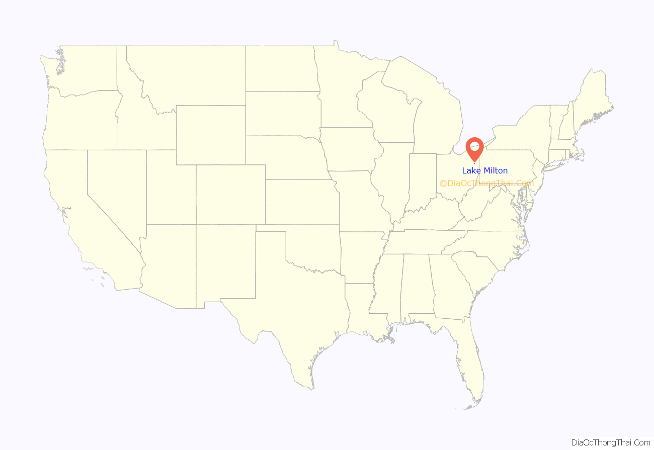
Lake Milton location map. Where is Lake Milton CDP?
History
In 1910, the nearby city of Youngstown acquired 3,416 acres (1,382 ha) along the Mahoning River in Milton Township with the intent to construct a reservoir that would be used as a valuable water supply to cool the city’s iron and steel mills. Construction of this reservoir had not yet started by 1913 when the largest flood to date struck the area. Beginning on Easter Sunday of 1913, the rain continued for four days causing the Mahoning River to rise 22 feet (6.7 m) above its normal levels. No fatalities were experienced but the Mahoning Valley’s flooded plains and tributaries caused significant commercial and industrial damage. This increased awareness and need for flood control jump started the construction of the Lake Milton dam later that year. Completed in 1917, the newly constructed 2,800-foot (850 m) dam created 1,640 acres (660 ha) of what is now known as Lake Milton.
By 1982, it was the only lake in Ohio where muskellunge (muskie) spawned and was the location of the largest muskie caught in North America. In 1984, the then 67-year-old dam needed an estimated $5 million in repairs which the city of Youngstown, the lake’s owner, refused to pay. Roughly 1,000 homeowners, cottage leasers, and businesspeople banded together to successfully ask the Ohio General Assembly to provide the money for the repairs. The City of Youngstown, admitting that they could no longer maintain the dam, asked the state to take over the lake as a state park and in the fall of 1988, the Ohio Department of Natural Resources approved to do so.
A post office called Lake Milton has been in operation since 1942, with the ZIP code 44429. The community takes its name from nearby Lake Milton, a reservoir impounded by a dam constructed in 1913, following that year’s flood of the Mahoning River.
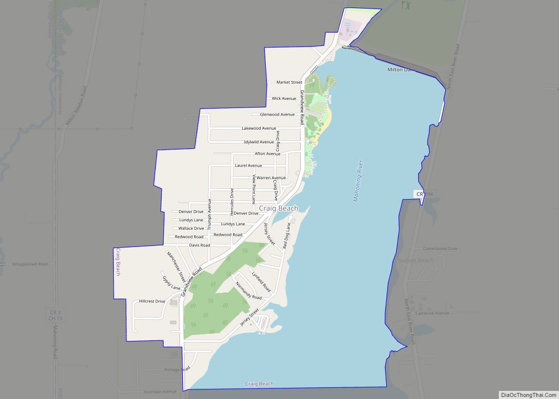
Lake Milton Road Map
Lake Milton city Satellite Map
See also
Map of Ohio State and its subdivision:- Adams
- Allen
- Ashland
- Ashtabula
- Athens
- Auglaize
- Belmont
- Brown
- Butler
- Carroll
- Champaign
- Clark
- Clermont
- Clinton
- Columbiana
- Coshocton
- Crawford
- Cuyahoga
- Darke
- Defiance
- Delaware
- Erie
- Fairfield
- Fayette
- Franklin
- Fulton
- Gallia
- Geauga
- Greene
- Guernsey
- Hamilton
- Hancock
- Hardin
- Harrison
- Henry
- Highland
- Hocking
- Holmes
- Huron
- Jackson
- Jefferson
- Knox
- Lake
- Lake Erie
- Lawrence
- Licking
- Logan
- Lorain
- Lucas
- Madison
- Mahoning
- Marion
- Medina
- Meigs
- Mercer
- Miami
- Monroe
- Montgomery
- Morgan
- Morrow
- Muskingum
- Noble
- Ottawa
- Paulding
- Perry
- Pickaway
- Pike
- Portage
- Preble
- Putnam
- Richland
- Ross
- Sandusky
- Scioto
- Seneca
- Shelby
- Stark
- Summit
- Trumbull
- Tuscarawas
- Union
- Van Wert
- Vinton
- Warren
- Washington
- Wayne
- Williams
- Wood
- Wyandot
- Alabama
- Alaska
- Arizona
- Arkansas
- California
- Colorado
- Connecticut
- Delaware
- District of Columbia
- Florida
- Georgia
- Hawaii
- Idaho
- Illinois
- Indiana
- Iowa
- Kansas
- Kentucky
- Louisiana
- Maine
- Maryland
- Massachusetts
- Michigan
- Minnesota
- Mississippi
- Missouri
- Montana
- Nebraska
- Nevada
- New Hampshire
- New Jersey
- New Mexico
- New York
- North Carolina
- North Dakota
- Ohio
- Oklahoma
- Oregon
- Pennsylvania
- Rhode Island
- South Carolina
- South Dakota
- Tennessee
- Texas
- Utah
- Vermont
- Virginia
- Washington
- West Virginia
- Wisconsin
- Wyoming
