Lewisburg is a village in Preble County, Ohio, United States, founded in 1818. The current village incorporates two prior villages, the original Lewisburg and Euphemia, which merged in 1916. The population was 1,820 at the 2010 census. It is part of the Dayton Metropolitan Statistical Area.
| Name: | Lewisburg village |
|---|---|
| LSAD Code: | 47 |
| LSAD Description: | village (suffix) |
| State: | Ohio |
| County: | Preble County |
| Elevation: | 997 ft (304 m) |
| Total Area: | 1.08 sq mi (2.81 km²) |
| Land Area: | 1.08 sq mi (2.81 km²) |
| Water Area: | 0.00 sq mi (0.00 km²) |
| Total Population: | 1,745 |
| Population Density: | 1,608.29/sq mi (620.83/km²) |
| ZIP code: | 45338 |
| Area code: | 937, 326 |
| FIPS code: | 3942938 |
| GNISfeature ID: | 1057795 |
| Website: | lewisburg.webs.com |
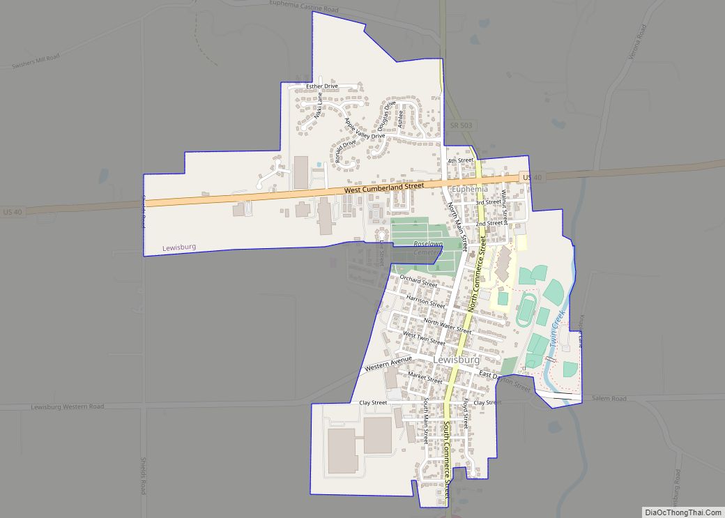
Online Interactive Map
Click on ![]() to view map in "full screen" mode.
to view map in "full screen" mode.
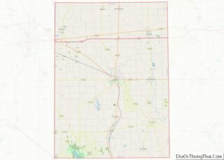
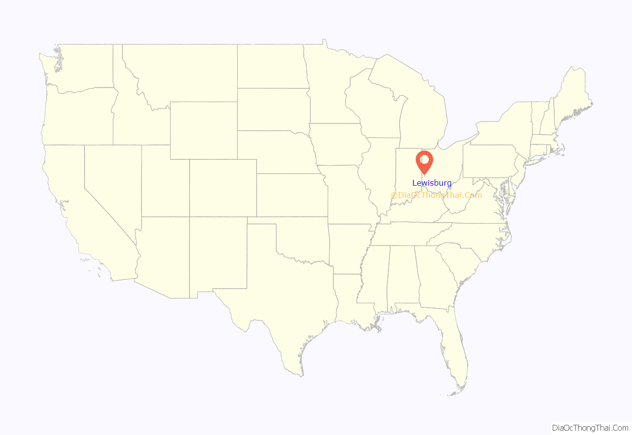
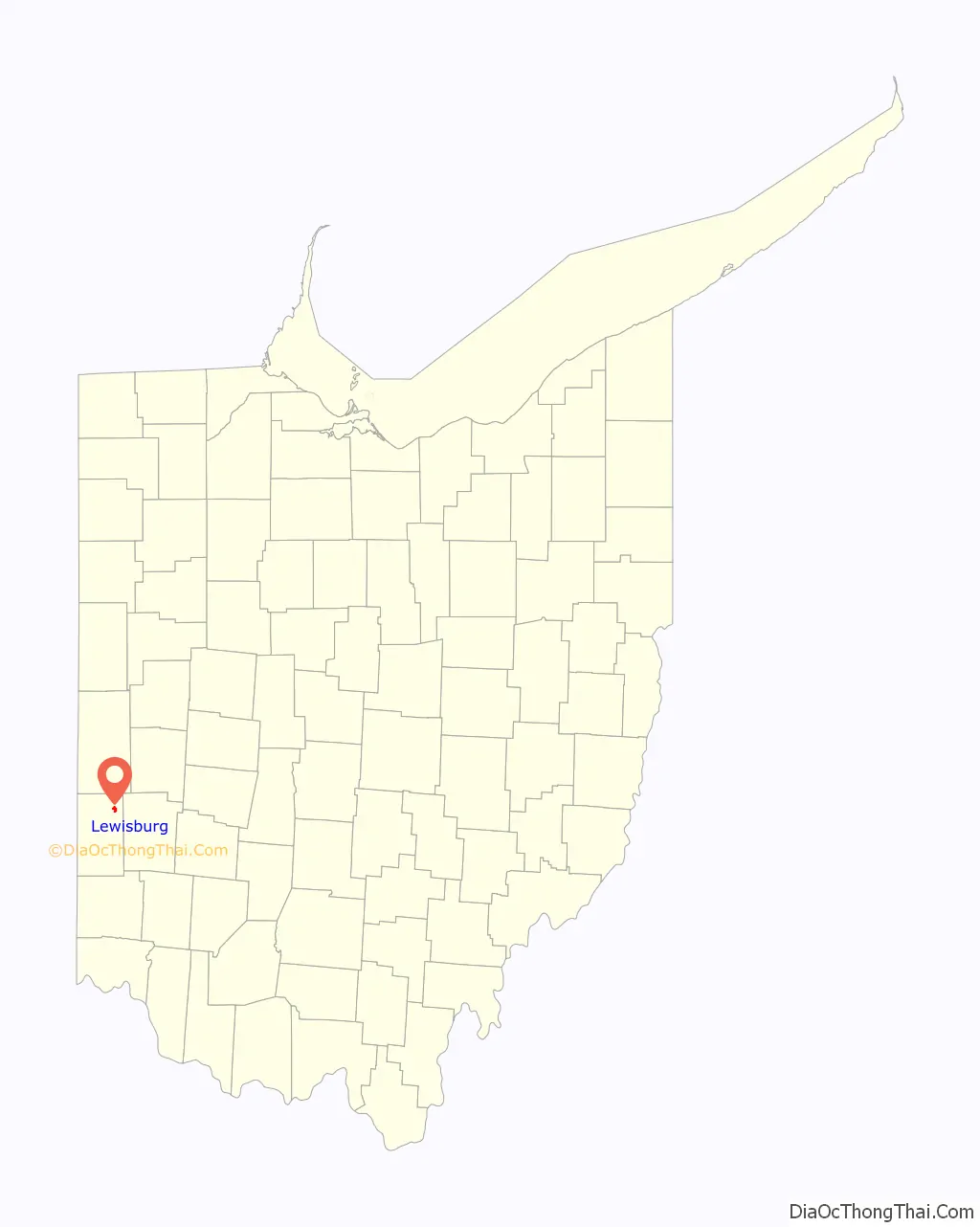
Lewisburg location map. Where is Lewisburg village?
History
Lewisburg was founded soon after Harrison Township was organized in 1816.
In 1833, Lewisburg contained one Lutheran church, four stores, two taverns, two physicians, one botanical practitioner, two merchant mills, forty dwelling houses, and about 200 inhabitants.
The community was named for Lewisburg, Virginia (now in West Virginia). In about 1836, pioneer John Mumma founded the community of Euphemia, named for his wife, to the north of Lewisburg on the National Road. The villages officially merged on April 4, 1916, and the combined community retained the name of Lewisburg.
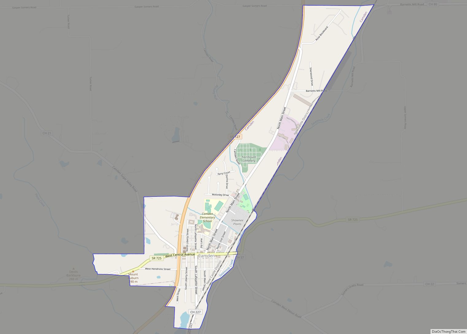
Lewisburg Road Map
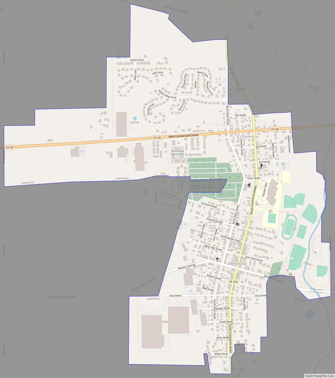
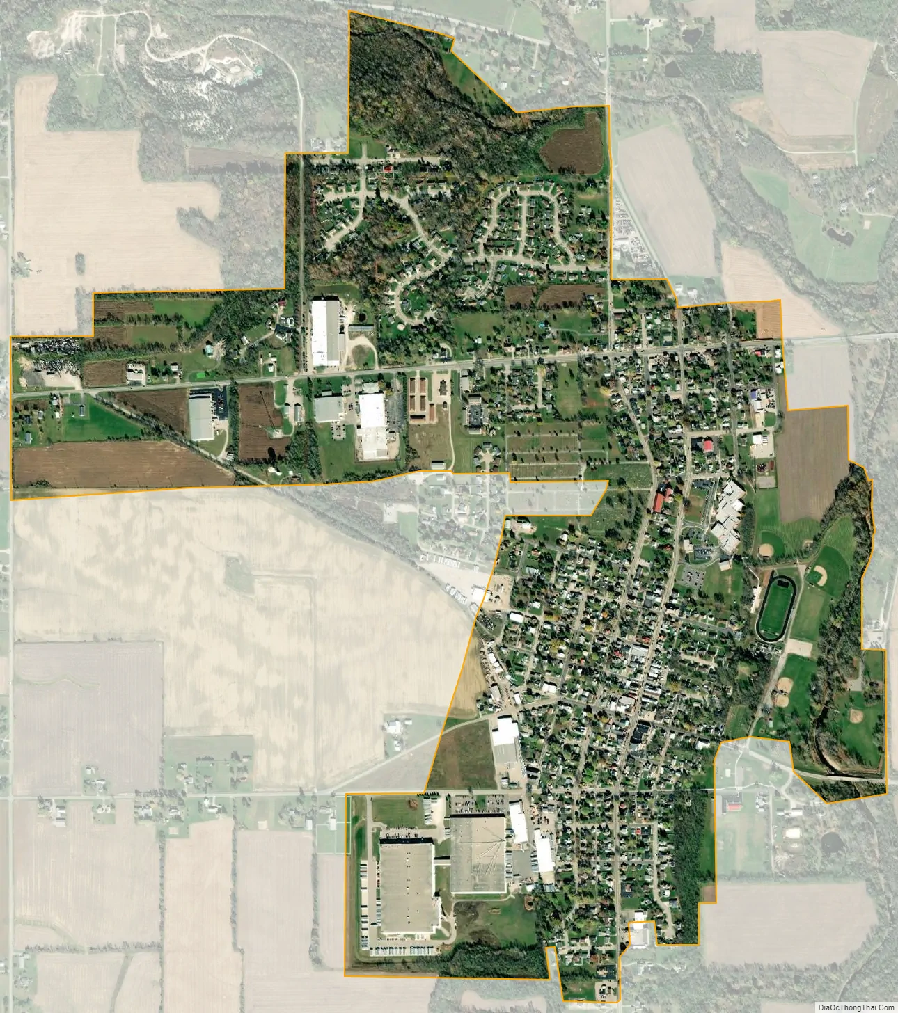
Lewisburg city Satellite Map
Geography
According to the United States Census Bureau, the village has a total area of 1.07 square miles (2.77 km), all land.
See also
Map of Ohio State and its subdivision:- Adams
- Allen
- Ashland
- Ashtabula
- Athens
- Auglaize
- Belmont
- Brown
- Butler
- Carroll
- Champaign
- Clark
- Clermont
- Clinton
- Columbiana
- Coshocton
- Crawford
- Cuyahoga
- Darke
- Defiance
- Delaware
- Erie
- Fairfield
- Fayette
- Franklin
- Fulton
- Gallia
- Geauga
- Greene
- Guernsey
- Hamilton
- Hancock
- Hardin
- Harrison
- Henry
- Highland
- Hocking
- Holmes
- Huron
- Jackson
- Jefferson
- Knox
- Lake
- Lake Erie
- Lawrence
- Licking
- Logan
- Lorain
- Lucas
- Madison
- Mahoning
- Marion
- Medina
- Meigs
- Mercer
- Miami
- Monroe
- Montgomery
- Morgan
- Morrow
- Muskingum
- Noble
- Ottawa
- Paulding
- Perry
- Pickaway
- Pike
- Portage
- Preble
- Putnam
- Richland
- Ross
- Sandusky
- Scioto
- Seneca
- Shelby
- Stark
- Summit
- Trumbull
- Tuscarawas
- Union
- Van Wert
- Vinton
- Warren
- Washington
- Wayne
- Williams
- Wood
- Wyandot
- Alabama
- Alaska
- Arizona
- Arkansas
- California
- Colorado
- Connecticut
- Delaware
- District of Columbia
- Florida
- Georgia
- Hawaii
- Idaho
- Illinois
- Indiana
- Iowa
- Kansas
- Kentucky
- Louisiana
- Maine
- Maryland
- Massachusetts
- Michigan
- Minnesota
- Mississippi
- Missouri
- Montana
- Nebraska
- Nevada
- New Hampshire
- New Jersey
- New Mexico
- New York
- North Carolina
- North Dakota
- Ohio
- Oklahoma
- Oregon
- Pennsylvania
- Rhode Island
- South Carolina
- South Dakota
- Tennessee
- Texas
- Utah
- Vermont
- Virginia
- Washington
- West Virginia
- Wisconsin
- Wyoming